Crossburn

Settlement in Stirlingshire

Scotland

Crossburn

Near Peatrigend Rough grazing, with rushes and thistles, beside the road from Slamannan to Avonbridge.
Near Peatrigend Credit: Anne Burgess

Crossburn is a small village located in the Stirlingshire region of Scotland. Situated approximately 5 miles northwest of the town of Stirling, it is nestled within the picturesque Scottish landscape. The village is known for its tranquil surroundings and stunning views of the nearby hills and countryside.

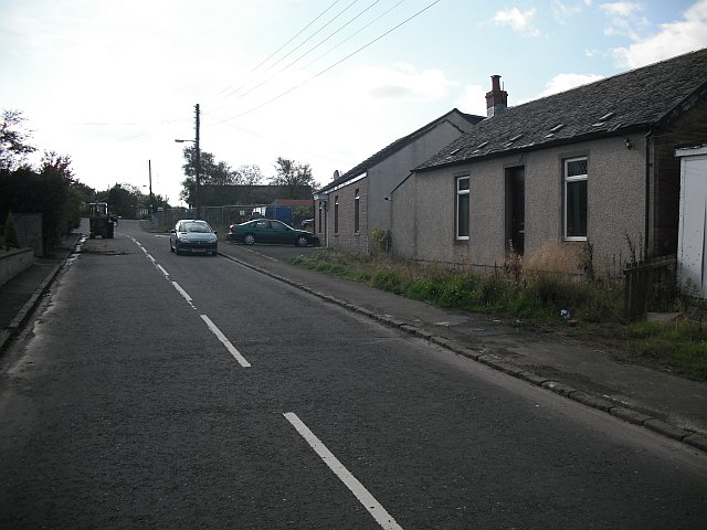
Despite its small size, Crossburn boasts a close-knit community that takes pride in its rich history and heritage. The village is peppered with traditional stone-built houses, each with its own unique charm. The architecture reflects the area's past, giving visitors a glimpse into the village's historical significance.

The surrounding area offers plenty of opportunities for outdoor enthusiasts, with a variety of walking and cycling trails that showcase the natural beauty of Stirlingshire. Nearby, the iconic Wallace Monument stands proudly, commemorating the Scottish hero, William Wallace. The monument attracts numerous tourists each year and provides a glimpse into Scotland's storied past.

While Crossburn itself may not offer a wide range of amenities, its proximity to Stirling ensures residents have access to all the necessary services and facilities. This includes schools, healthcare centers, and a range of retail and dining options. Additionally, the village benefits from excellent transport links, with regular bus services connecting it to neighboring towns and cities.

Overall, Crossburn offers a peaceful and idyllic setting for those seeking a serene countryside lifestyle, while still being within reach of more extensive amenities and attractions in Stirling.

If you have any feedback on the listing, please let us know in the comments section below.
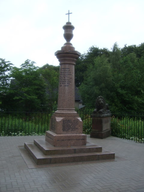
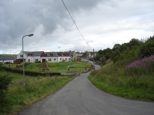
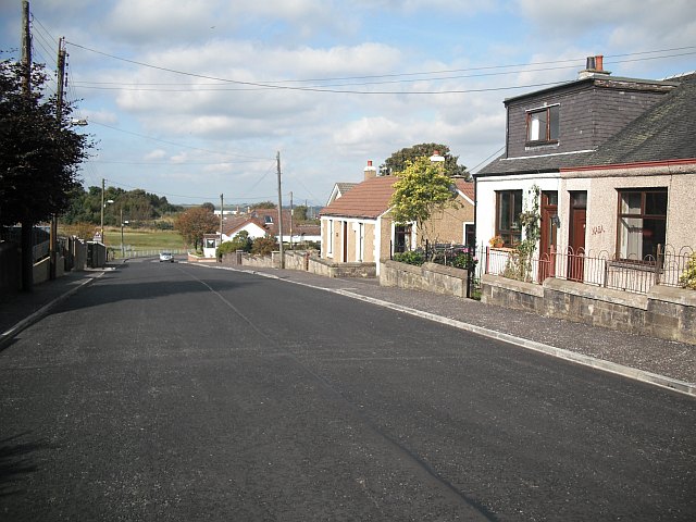
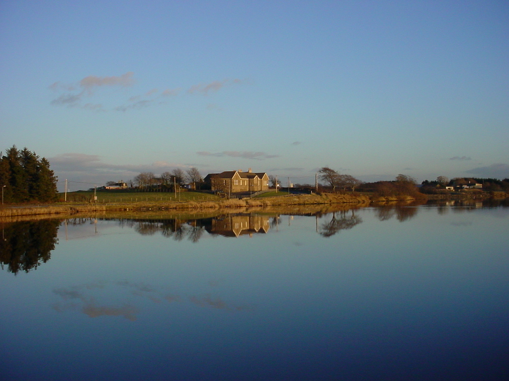
Crossburn Images

Images are sourced within 2km of 55.927513/-3.8260888 or Grid Reference NS8672. Thanks to Geograph Open Source API. All images are credited.

Near Peatrigend Rough grazing, with rushes and thistles, beside the road from Slamannan to Avonbridge.
Near Peatrigend
Rough grazing, with rushes and thistles, beside the road from Slamannan to Avonbridge.
Shelter Belt A row of trees marks a field bolundary near Peatrigend.
Shelter Belt
A row of trees marks a field bolundary near Peatrigend.
Slamannan Parish Church Slamannan church was built in 1810
Slamannan Parish Church
Slamannan church was built in 1810
Slamannan war memorial
Slamannan
Slamannan
The St Laurence, Slamannan Junction of High Street / Main Street.
The St Laurence, Slamannan
Junction of High Street / Main Street.
Sign on the St Laurence, Slamannan
Royal Hotel, Slamannan  Now closed - at the junction of High Street / Main Street.
Royal Hotel, Slamannan
Now closed - at the junction of High Street / Main Street.
War Memorial, Slamannan
Slamannan Post Office On Main Street.
Slamannan Post Office
On Main Street.
Field entrance off Avonbridge Road
Avonbridge Road (B8022) Heading east from Slamannan.
Avonbridge Road (B8022)
Heading east from Slamannan.
Grazing, Middlerigg
Grazing, Middlerigg
Children's playground, Blinkbonnie
Rough grazing, Hillhead
B8022 towards Avonbridge Looking south.
B8022 towards Avonbridge
Looking south.
Road Junction, High Street, Slamannan The B803 (High Street) from to the left leads to Airdie and Coatbridge. The B803 (Main Street) continues straight ahead and leads to Falkirk. The B8022 (High Street) to the right leads to Avonbridge.
The prominent building at the corner is the former Royal Hotel. It is very sad to see it in this dilapidated state. I remember it well when it was quite an elegant building. See <span class="nowrap"><a title="http://keywordsuggest.org/gallery/891752.html" rel="nofollow ugc noopener" href="http://keywordsuggest.org/gallery/891752.html">Link</a><img style="margin-left:2px;" alt="External link" title="External link - shift click to open in new window" src="https://s1.geograph.org.uk/img/external.png" width="10" height="10"/></span> for a loop of 20 photographs of Slamannan. Photographs 1 and 11 in the loop show the Royal Hotel in its former grandeur.
Road Junction, High Street, Slamannan
The B803 (High Street) from to the left leads to Airdie and Coatbridge. The B803 (Main Street) continues straight ahead and leads to Falkirk. The B8022 (High Street) to the right leads to Avonbridge. The prominent building at the corner is the former Royal Hotel. It is very sad to see it in this dilapidated state. I remember it well when it was quite an elegant building. See LinkExternal link for a loop of 20 photographs of Slamannan. Photographs 1 and 11 in the loop show the Royal Hotel in its former grandeur.
George Waddell Memorial Clock, High Street, Slamannan Memorial to George Waddell who volunteered for active service in South Africa with the Lothians and Berwickshire Imperial Yeomanry and died in Germiston, Transvaal on 8th February 1901, aged 26 years. Dating from 1902, it stands on High Street facing Main Street and is a combined clock and fountain memorial.
George Waddell Memorial Clock, High Street, Slamannan
Memorial to George Waddell who volunteered for active service in South Africa with the Lothians and Berwickshire Imperial Yeomanry and died in Germiston, Transvaal on 8th February 1901, aged 26 years. Dating from 1902, it stands on High Street facing Main Street and is a combined clock and fountain memorial.
Show me another place!

Crossburn is located at Grid Ref: NS8672 (Lat: 55.927513, Lng: -3.8260888)

Unitary Authority: Falkirk

Police Authority: Forth Valley

What 3 Words

///factoring.damage.collides. Near Slamannan, Falkirk

Nearby Locations

Crossburn

Related Wikis

Slamannan railway station

Slamannan railway station served the village of Slamannan, Falkirk, Scotland, from 1840 to 1930 on the Slamannan Railway. == History == The station was...

Binniehill

Binniehill is a village in Falkirk, Scotland. The name is a tautology, with "binnie" coming from Scottish Gaelic "binnean" meaning a small hill. ��2�...

Limerigg

Limerigg is a village in the Falkirk council area of Scotland. It lies on the B825 road between Slamannan and Caldercruix surrounded by extensive woodlands...

Slamannan

Slamannan (Scottish Gaelic: Sliabh Mhanainn) is a village in the south of the Falkirk council area in Central Scotland. It is 4.6 miles (7.4 km) south...

Black Loch

The Black Loch is a small freshwater loch or reservoir in the Falkirk council area, Scotland. It is near the village of Limerigg and close to the boundary...

Central Belt

The Central Belt of Scotland is the area of highest population density within Scotland. Depending on the definition used, it has a population of between...

Longriggend

Longriggend is a village in North Lanarkshire, Scotland, with a population of approximately 200. It is situated on moorland 8 km north-east of Airdrie...

Longriggend railway station

Longriggend railway station was a railway station serving the village of Longriggend, North Lanarkshire, Scotland. The station was part of the Slamannan...

Nearby Amenities

Located within 500m of 55.927513,-3.8260888
Post Box
Source: survey
Lat/Long: 55.931108/-3.8298269
Bus Stop
Station Road at Binniehill Road
Bench: yes
Bus: yes
Naptan AtcoCode: 66902920020
Naptan NaptanCode: 32525476
Public Transport: platform
Shelter: yes
Lat/Long: 55.9309391/-3.8294756
Noexit: yes
Lat/Long: 55.9301228/-3.829763
Noexit: yes
Lat/Long: 55.9308398/-3.8284995
Power: pole
Lat/Long: 55.9315389/-3.8233686
Power: pole
Lat/Long: 55.931071/-3.8239373
Power: pole
Lat/Long: 55.9305388/-3.8246164
Power: pole
Lat/Long: 55.9299635/-3.825333
Power: pole
Lat/Long: 55.9294196/-3.8259871
Power: pole
Lat/Long: 55.9288198/-3.8263621
Power: pole
Lat/Long: 55.9281884/-3.826735
Power: pole
Lat/Long: 55.9275909/-3.8271433
Power: pole
Lat/Long: 55.9269805/-3.8275204
Power: pole
Lat/Long: 55.9263957/-3.8278995
Power: pole
Lat/Long: 55.925804/-3.8282328
Power: pole
Lat/Long: 55.9251691/-3.8286432
Power: pole
Lat/Long: 55.9245831/-3.8289911
Power: pole
Lat/Long: 55.923933/-3.829389
Power: pole
Lat/Long: 55.9243217/-3.8301035
Power: pole
Lat/Long: 55.9242015/-3.8314597
Slamannan
Historic Railway: station
Railway: site
Wikidata: Q106612931
Wikipedia: en:Slamannan railway station
Lat/Long: 55.9311076/-3.8285367
Give Way
Direction: backward
Lat/Long: 55.931304/-3.8297891
The data included in this document is from www.openstreetmap.org. The data is made available under ODbL.

Have you been to Crossburn?

Leave your review of Crossburn below (or comments, questions and feedback).