Messels Plantation

Wood, Forest in Wiltshire

England

Messels Plantation

Old Milestone, Malmesbury A429 On the NW verge of Crudwell Road (A429), near the main entrance to Charlton Park Estate. 
Erected by the Malmesbury First District Turnpike Trust (19ᵗʰ Century)

Inscription (probably): Cirencester 9 / Malmesbury 2

Milestone Society National ID: WI_MYCI02
Old Milestone, Malmesbury A429 Credit: Tom Blanden

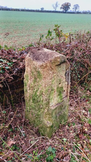
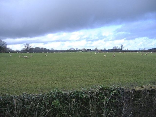
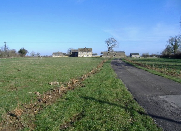
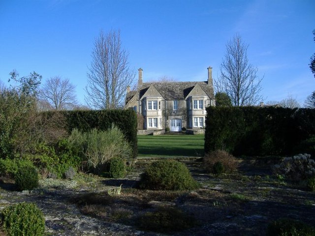
Messel's Plantation, located in Wiltshire, England, is a stunning woodland area renowned for its natural beauty and rich biodiversity. Covering an expanse of approximately 200 acres, the plantation is nestled within the larger Savernake Forest, one of the oldest and largest forests in the country.

The woodland is primarily composed of a mix of broadleaf trees, including oak, beech, and ash, which form a dense and lush canopy overhead. The plantation's well-maintained pathways meander through the woodland, offering visitors an opportunity to explore its tranquil surroundings and discover its hidden gems.

Messel's Plantation is home to a wide array of wildlife, making it a popular destination for nature enthusiasts and birdwatchers. The forest provides habitat for numerous species, including woodpeckers, owls, badgers, and deer. In the springtime, the woodland floor is carpeted with vibrant wildflowers, further enhancing its natural splendor.

For centuries, the plantation has been managed sustainably, with careful consideration given to preserving its ecological balance. This is evident in the presence of old veteran trees, fallen logs left to decay, and the presence of various fungi and mosses that thrive in undisturbed areas.

Visitors to Messel's Plantation can enjoy a range of recreational activities, such as walking, cycling, and picnicking. The plantation also offers opportunities for educational programs, allowing visitors to learn about the forest's history, flora, and fauna.

Overall, Messel's Plantation in Wiltshire stands as a testament to the importance of preserving and appreciating the natural wonders of the British countryside.

If you have any feedback on the listing, please let us know in the comments section below.

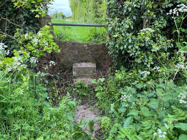
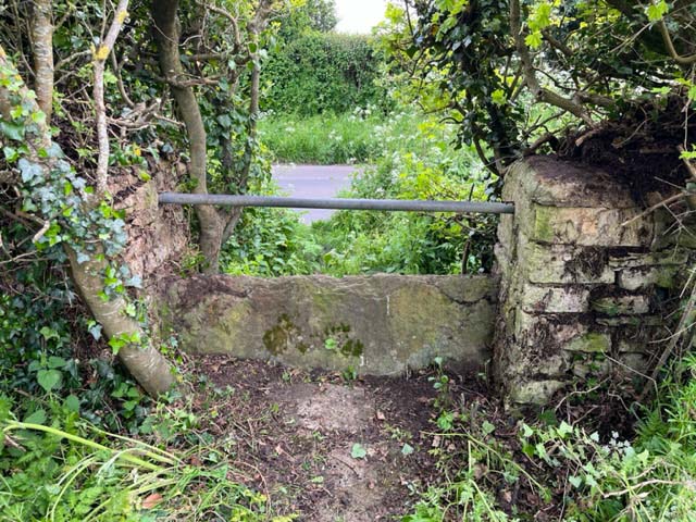
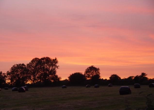
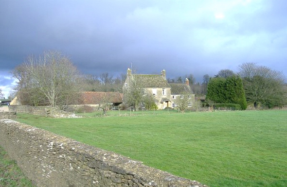
Messels Plantation Images

Images are sourced within 2km of 51.614196/-2.0739687 or Grid Reference ST9490. Thanks to Geograph Open Source API. All images are credited.

Old Milestone, Malmesbury A429 On the NW verge of Crudwell Road (A429), near the main entrance to Charlton Park Estate. 
Erected by the Malmesbury First District Turnpike Trust (19ᵗʰ Century)

Inscription (probably): Cirencester 9 / Malmesbury 2

Milestone Society National ID: WI_MYCI02
Old Milestone, Malmesbury A429
On the NW verge of Crudwell Road (A429), near the main entrance to Charlton Park Estate. Erected by the Malmesbury First District Turnpike Trust (19ᵗʰ Century) Inscription (probably): Cirencester 9 / Malmesbury 2 Milestone Society National ID: WI_MYCI02
Old Milestone, Malmesbury A429 Old Milestone by the A429, south of Crudwell
Metal plate attached to stone post by the A429, in parish of Hankerton (North Wiltshire District), Crudwell Road; South of Murcott turn, by the road, on West side of road. Malmesbury First plate, erected by the Malmesbury - First District turnpike trust in the 19th century. Modern plate now.

Inscription: CIRENCESTER / 8 / MALMESBURY / 3 
Carved benchmark  representing 107.7 m ASL.

Grade II listed Nᴼ. 1022249 <span class="nowrap"><a title="https://historicengland.org.uk/listing/the-list/list-entry/1022249" rel="nofollow ugc noopener" href="https://historicengland.org.uk/listing/the-list/list-entry/1022249">Link</a><img style="margin-left:2px;" alt="External link" title="External link - shift click to open in new window" src="https://s1.geograph.org.uk/img/external.png" width="10" height="10"/></span>

Milestone Society National ID: WI_MYCI03
Old Milestone, Malmesbury A429
Old Milestone by the A429, south of Crudwell Metal plate attached to stone post by the A429, in parish of Hankerton (North Wiltshire District), Crudwell Road; South of Murcott turn, by the road, on West side of road. Malmesbury First plate, erected by the Malmesbury - First District turnpike trust in the 19th century. Modern plate now. Inscription: CIRENCESTER / 8 / MALMESBURY / 3 Carved benchmark representing 107.7 m ASL. Grade II listed Nᴼ. 1022249 LinkExternal link Milestone Society National ID: WI_MYCI03
Stone Stile, Murcott Not on a Public Right of Way, a farmer's pedestrian route to the field, looking NE from Murcott Lane. The view to the road and Murcott Farm House is <a href="https://www.geograph.org.uk/photo/7486868">ST9591 : Stone Stile, Murcott</a>.
Stone Stile, Murcott
Not on a Public Right of Way, a farmer's pedestrian route to the field, looking NE from Murcott Lane. The view to the road and Murcott Farm House is ST9591 : Stone Stile, Murcott.
Stone Stile, Murcott Not on a Public Right of Way, a farmer's pedestrian route to the field, looking SW to the road and Murcott Farm House. The view from the road is <a href="https://www.geograph.org.uk/photo/7486867">ST9591 : Stone Stile, Murcott</a>.
Stone Stile, Murcott
Not on a Public Right of Way, a farmer's pedestrian route to the field, looking SW to the road and Murcott Farm House. The view from the road is ST9591 : Stone Stile, Murcott.
Stone Stile, Murcott On Wiltshire footpath CRUD12 looking North from Murcott Lane. The view South is <a href="https://www.geograph.org.uk/photo/7486872">ST9591 : Stone Stile, Murcott</a>.
Stone Stile, Murcott
On Wiltshire footpath CRUD12 looking North from Murcott Lane. The view South is ST9591 : Stone Stile, Murcott.
Stone Stile, Murcott On Wiltshire footpath CRUD12 looking South to Murcott Lane. The view North is <a href="https://www.geograph.org.uk/photo/7486871">ST9591 : Stone Stile, Murcott</a>.
Stone Stile, Murcott
On Wiltshire footpath CRUD12 looking South to Murcott Lane. The view North is ST9591 : Stone Stile, Murcott.
Fingerpost, Murcott Lane, Crudwell A fingerless direction sign. Crudwell is to the left, Hankerton to the right.
The fingers can be seen until recently as depicted by <a title="https://www.geograph.org.uk/photo/5998385" href="https://www.geograph.org.uk/photo/5998385">Link</a> & <a title="https://www.geograph.org.uk/photo/5998395" href="https://www.geograph.org.uk/photo/5998395">Link</a>.

Inscription was: Crudwell // Oaksey / Eastcourt // Minety / Charlton / Hankerton

Milestone Society National ID: WI_ST9691
Fingerpost, Murcott Lane, Crudwell
A fingerless direction sign. Crudwell is to the left, Hankerton to the right. The fingers can be seen until recently as depicted by Link & Link. Inscription was: Crudwell // Oaksey / Eastcourt // Minety / Charlton / Hankerton Milestone Society National ID: WI_ST9691
Charlton,  Malmesbury, Wiltshire The parish church of Charlton village is dedicated to St John the Baptist.
Charlton, Malmesbury, Wiltshire
The parish church of Charlton village is dedicated to St John the Baptist.
Charlton Park near Malmesbury The house was originally seat of the Earl of Suffolk, now is apartments. It is Jacobean in origin and partly open to the public one afternoon per week in the summer.
Charlton Park near Malmesbury
The house was originally seat of the Earl of Suffolk, now is apartments. It is Jacobean in origin and partly open to the public one afternoon per week in the summer.
Crudwell Evening sky taken from Gossey Corner looking west towards Long Newnton airfield
Crudwell
Evening sky taken from Gossey Corner looking west towards Long Newnton airfield
Rainbow near Crudwell
The old post office, Hankerton Now a dwelling. Rather isolated, to the east of Hankerton village.
The old post office, Hankerton
Now a dwelling. Rather isolated, to the east of Hankerton village.
Single track road A country lane, leading north from Charlton, to join the A429 to Cirencester.
Single track road
A country lane, leading north from Charlton, to join the A429 to Cirencester.
Home farm, Charlton Park Part of an extensive former estate, situated next to the A429.
Home farm, Charlton Park
Part of an extensive former estate, situated next to the A429.
Gatehouse at Charlton Park One of the formal entrance gates to this large estate, owned by the Earl of Suffolk and Berks. The estate has been very active, commercially, selling apartments in the main house, developing a business park, and selling land for housing development in the nearby town of Malmesbury.
Gatehouse at Charlton Park
One of the formal entrance gates to this large estate, owned by the Earl of Suffolk and Berks. The estate has been very active, commercially, selling apartments in the main house, developing a business park, and selling land for housing development in the nearby town of Malmesbury.
Griffiths Barn farm Sheep graze under rain-laden skies, near the A429, north of Malmesbury.
Griffiths Barn farm
Sheep graze under rain-laden skies, near the A429, north of Malmesbury.
Bishoper farm Newly planted hedges of beech, line the farm driveway.
Bishoper farm
Newly planted hedges of beech, line the farm driveway.
Ashlands Court Well screened from the road, except for this gap in the hedge.
Ashlands Court
Well screened from the road, except for this gap in the hedge.
Show me another place!

Messels Plantation is located at Grid Ref: ST9490 (Lat: 51.614196, Lng: -2.0739687)

Unitary Authority: Wiltshire

Police Authority: Wiltshire

What 3 Words

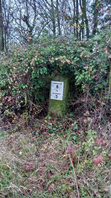
///collapsed.snaps.notch. Near Hankerton, Wiltshire

Related Wikis

Charlton Park, Wiltshire

Charlton Park is a country house and estate in Wiltshire, England, 2 miles (3.2 km) northeast of the town of Malmesbury. Charlton Park House is a Grade...

Hankerton

Hankerton is a village and civil parish in Wiltshire, England, 3 miles (4.8 km) northeast of Malmesbury. The parish includes the hamlets of Cloatley, Cloatley...

Charlton, Brinkworth

Charlton is a village and civil parish in North Wiltshire, England, about 2 miles (3 km) northeast of Malmesbury and 4 miles (6.4 km) northwest of the...

Crudwell

Crudwell is a village and civil parish in north Wiltshire, England. The nearest towns are Malmesbury, about 4 miles (6.4 km) to the south-west, and Cirencester...

Nearby Amenities

Located within 500m of 51.614196,-2.0739687
Parking
Parking: layby
Source: video_survey; gps_survey
Lat/Long: 51.6119591/-2.0793048
The data included in this document is from www.openstreetmap.org. The data is made available under ODbL.

Have you been to Messels Plantation?

Leave your review of Messels Plantation below (or comments, questions and feedback).