Alsesetting Copse

Wood, Forest in Wiltshire

England

Alsesetting Copse

Wessex Ridgeway heading North through Great Ridge Wood The long distance footpath following a good wide track between conifers
Wessex Ridgeway heading North through Great Ridge Wood Credit: Chris Heaton

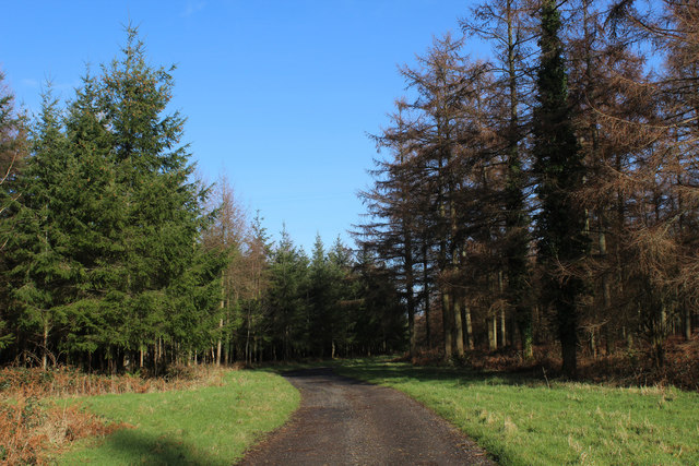
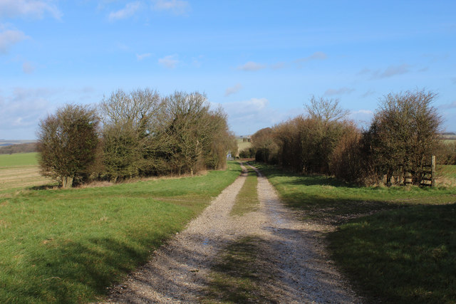
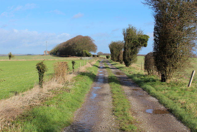
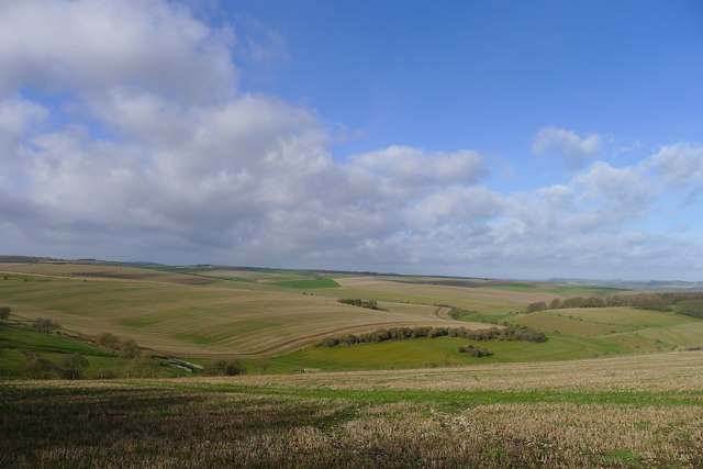
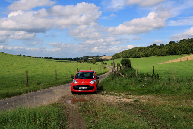
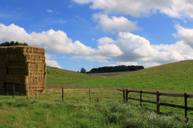
Alsesetting Copse is a picturesque woodland area located in the county of Wiltshire, England. Situated near the small village of Alsesetting, the copse covers an area of approximately 50 acres and is a popular destination for nature enthusiasts and hikers.

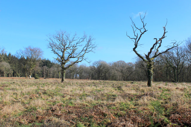
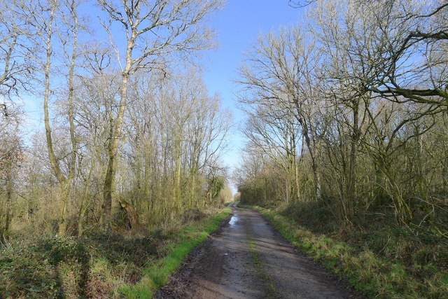
The copse is characterized by its dense canopy of mature trees, predominantly oak and beech, which provide a shady and tranquil environment for visitors. The forest floor is covered in a thick carpet of moss, ferns, and wildflowers, creating a vibrant and colorful undergrowth. The natural diversity of plant species in Alsesetting Copse is a testament to the conservation efforts undertaken to protect the area's biodiversity.

Winding pathways and well-maintained trails meander through the copse, allowing visitors to explore the woodland and discover its hidden treasures. The tranquil atmosphere is occasionally interrupted by the gentle chirping of birds and the rustling of leaves as small mammals scurry through the underbrush.

Alsesetting Copse is also home to a variety of wildlife, including deer, squirrels, and numerous bird species. Nature lovers often find opportunities for birdwatching and wildlife photography in this peaceful setting.

The copse is easily accessible, with designated parking areas and nearby public transportation links. It is open to the public year-round, offering a serene escape from the hustle and bustle of everyday life. Alsesetting Copse is a haven for those seeking solace in nature and a chance to immerse themselves in the beauty of an ancient woodland.

If you have any feedback on the listing, please let us know in the comments section below.

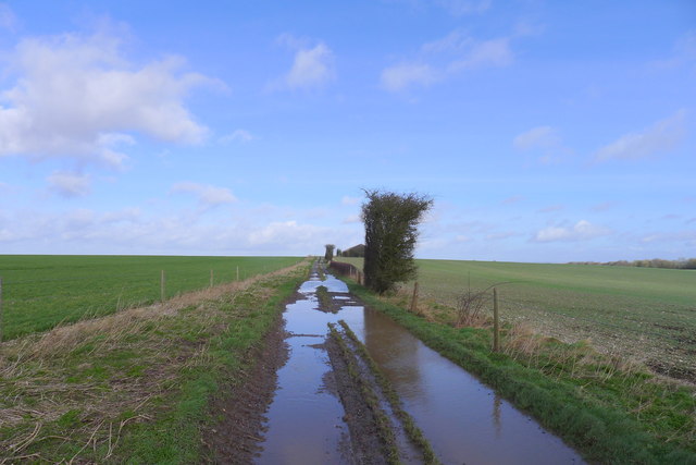
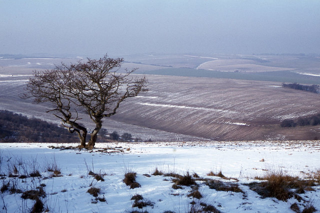
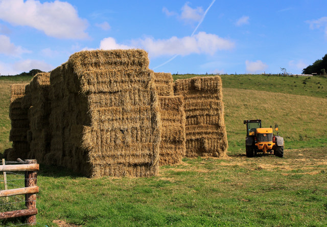
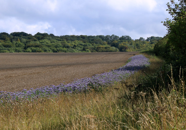
Alsesetting Copse Images

Images are sourced within 2km of 51.133024/-2.0760958 or Grid Reference ST9437. Thanks to Geograph Open Source API. All images are credited.

Wessex Ridgeway heading North through Great Ridge Wood The long distance footpath following a good wide track between conifers
Wessex Ridgeway heading North through Great Ridge Wood
The long distance footpath following a good wide track between conifers
Clearing in Great Ridge Wood
View over Well Bottom View from the Wessex Ridgeway as it emerges from the clutches of Great Ridge Wood.
It shows the sweeping chalk landscape of the West Wiltshire Downs.
View over Well Bottom
View from the Wessex Ridgeway as it emerges from the clutches of Great Ridge Wood. It shows the sweeping chalk landscape of the West Wiltshire Downs.
View over Corton Down Sweeping view over the West Wiltshire Downs from the Wessex Ridgeway as it emerges from the Great Ridge Wood.
View over Corton Down
Sweeping view over the West Wiltshire Downs from the Wessex Ridgeway as it emerges from the Great Ridge Wood.
Wessex Ridgeway on Corton Down A good firm track helps make good progress as the long distance footpath heads northwards.
Wessex Ridgeway on Corton Down
A good firm track helps make good progress as the long distance footpath heads northwards.
Following the Wessex Ridgeway over Corton Down The Wessex Ridgeway is a 136-mile long-distance footpath which runs from Marlborough in Wiltshire to Lyme Regis in Dorset. It was opened in 1994. 

Wikipedia entry: <span class="nowrap"><a title="https://en.wikipedia.org/wiki/Wessex_Ridgeway" rel="nofollow ugc noopener" href="https://en.wikipedia.org/wiki/Wessex_Ridgeway">Link</a><img style="margin-left:2px;" alt="External link" title="External link - shift click to open in new window" src="https://s1.geograph.org.uk/img/external.png" width="10" height="10"/></span>
Following the Wessex Ridgeway over Corton Down
The Wessex Ridgeway is a 136-mile long-distance footpath which runs from Marlborough in Wiltshire to Lyme Regis in Dorset. It was opened in 1994. Wikipedia entry: LinkExternal link
Solitary oak, Great Ridge woods A clearing in predominantly coniferous planting
Solitary oak, Great Ridge woods
A clearing in predominantly coniferous planting
The Wessex Ridgeway path about to leave the northern edge of the Great Ridge woodlands
The West Wiltshire Downs viewed from Great Ridge A chalk downland Area of Outstanding Natural Beauty
The West Wiltshire Downs viewed from Great Ridge
A chalk downland Area of Outstanding Natural Beauty
Track along the ridge of Corton Down Puddles on easily drained chalk downs testify to what would become the wettest February on record.
Track along the ridge of Corton Down
Puddles on easily drained chalk downs testify to what would become the wettest February on record.
Downland and lone hawthron tree near Rowdean Hill
2011 : Guardian of the straw On a lane to nowhere south of Sherrington.
While I was there a large vehicle arrived to remove the bales (not all at once). The "guardian" was equipped with a lifting device to load it.
2011 : Guardian of the straw
On a lane to nowhere south of Sherrington. While I was there a large vehicle arrived to remove the bales (not all at once). The "guardian" was equipped with a lifting device to load it.
2011 : Home from the hill, Park Bottom The tractor was harrowing.
2011 : Home from the hill, Park Bottom
The tractor was harrowing.
2011 : Blue "road" in a wheatfield Thought the flowers were thistles at first, but not so.
Between Stockton Down and Sherrington Down.
The wood's behind are in Great Bottom.
2011 : Blue "road" in a wheatfield
Thought the flowers were thistles at first, but not so. Between Stockton Down and Sherrington Down. The wood's behind are in Great Bottom.
2011 : On the unnamed road to Sherrington No name, doesn't go anywhere. A there-and-back-again road through some good walking country.
2011 : On the unnamed road to Sherrington
No name, doesn't go anywhere. A there-and-back-again road through some good walking country.
2011 : Strawstack and a dry valley Heading up to Stockton Down.
Queen's Barrow is at the top.
2011 : Strawstack and a dry valley
Heading up to Stockton Down. Queen's Barrow is at the top.
2011 : Road to nowhere, from Sherrington Can go further if you like walking.
2011 : Road to nowhere, from Sherrington
Can go further if you like walking.
2011 : The end is in sight, nearly At the bottom of Park Bottom, a few hundred yards to go.
Sherrington Down is to the right, Stony Hill straight ahead.
2011 : The end is in sight, nearly
At the bottom of Park Bottom, a few hundred yards to go. Sherrington Down is to the right, Stony Hill straight ahead.
Show me another place!

Alsesetting Copse is located at Grid Ref: ST9437 (Lat: 51.133024, Lng: -2.0760958)

Unitary Authority: Wiltshire

Police Authority: Wiltshire

What 3 Words

///valued.happily.apricot. Near Boyton, Wiltshire

Related Wikis

Stockton Wood and Down

Stockton Wood and Down (grid reference ST958366) is a 61.5 hectare biological Site of Special Scientific Interest in the southwest of Stockton parish in...

Great Ridge Wood

Great Ridge Wood, formerly also known as Chicklade Wood, is one of the largest woodlands in southern Wiltshire, England. Mostly within the parishes of...

Sherrington

Sherrington is a small village and civil parish on the River Wylye in Wiltshire, England. The part of the Great Ridge Wood known as Snailcreep Hanging...

Boyton, Wiltshire

Boyton is a village and civil parish in Wiltshire, England. It lies in the Wylye Valley within Salisbury Plain, about 6 miles (10 km) south-east of Warminster...

Codford railway station

Codford railway station was an intermediate station on the Salisbury branch line of the Great Western Railway built along the Wylye valley to connect Warminster...

Ashton Gifford House

Ashton Gifford House is a Grade II listed country house in the hamlet of Ashton Gifford, part of the civil parish of Codford in the English county of Wiltshire...

Greenways School

Greenways School, also known as Greenways Preparatory School, was an English prep school, founded at Bognor Regis, Sussex, before the Second World War...

Woolstore Theatre

The Woolstore Theatre is a theatre in the village of Codford, Wiltshire, England. The theatre has been operating since 1928, when it was built by Colonel...

Nearby Amenities

Located within 500m of 51.133024,-2.0760958
Sherrington Down
Place: locality
Lat/Long: 51.1324946/-2.0718241
The data included in this document is from www.openstreetmap.org. The data is made available under ODbL.

Have you been to Alsesetting Copse?

Leave your review of Alsesetting Copse below (or comments, questions and feedback).