Heron Copse

Wood, Forest in Cheshire

England

Heron Copse

Former Railway Station at Rushton Spencer
Former Railway Station at Rushton Spencer Credit: Philip Cornwall

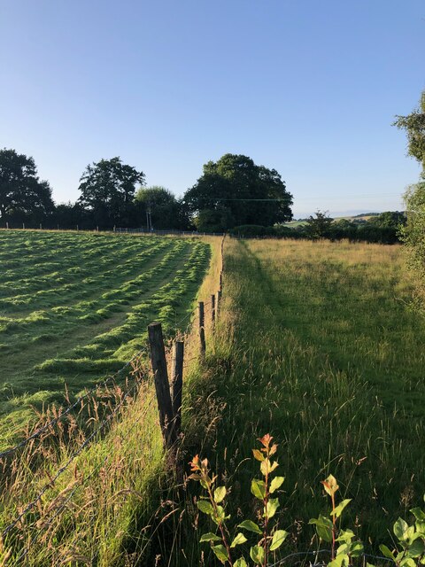
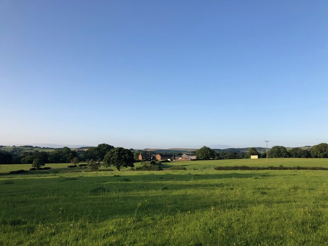
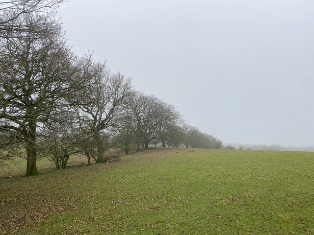
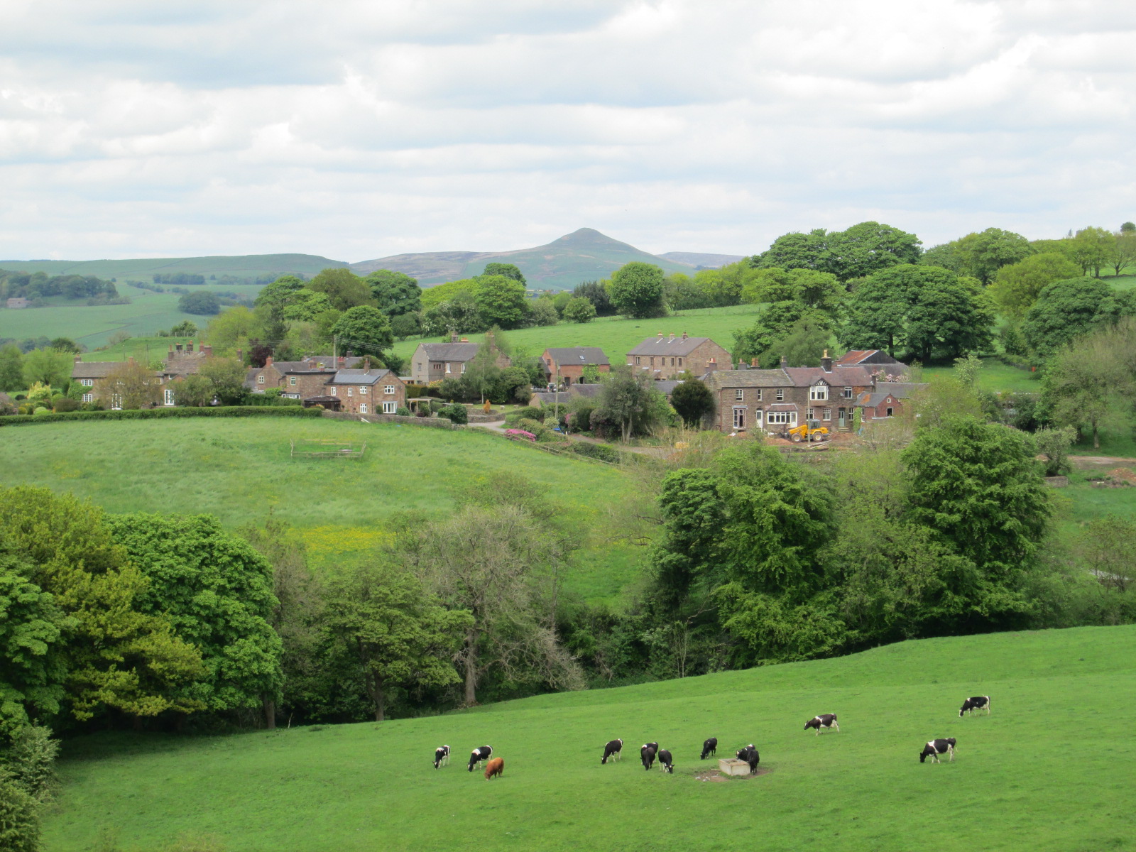
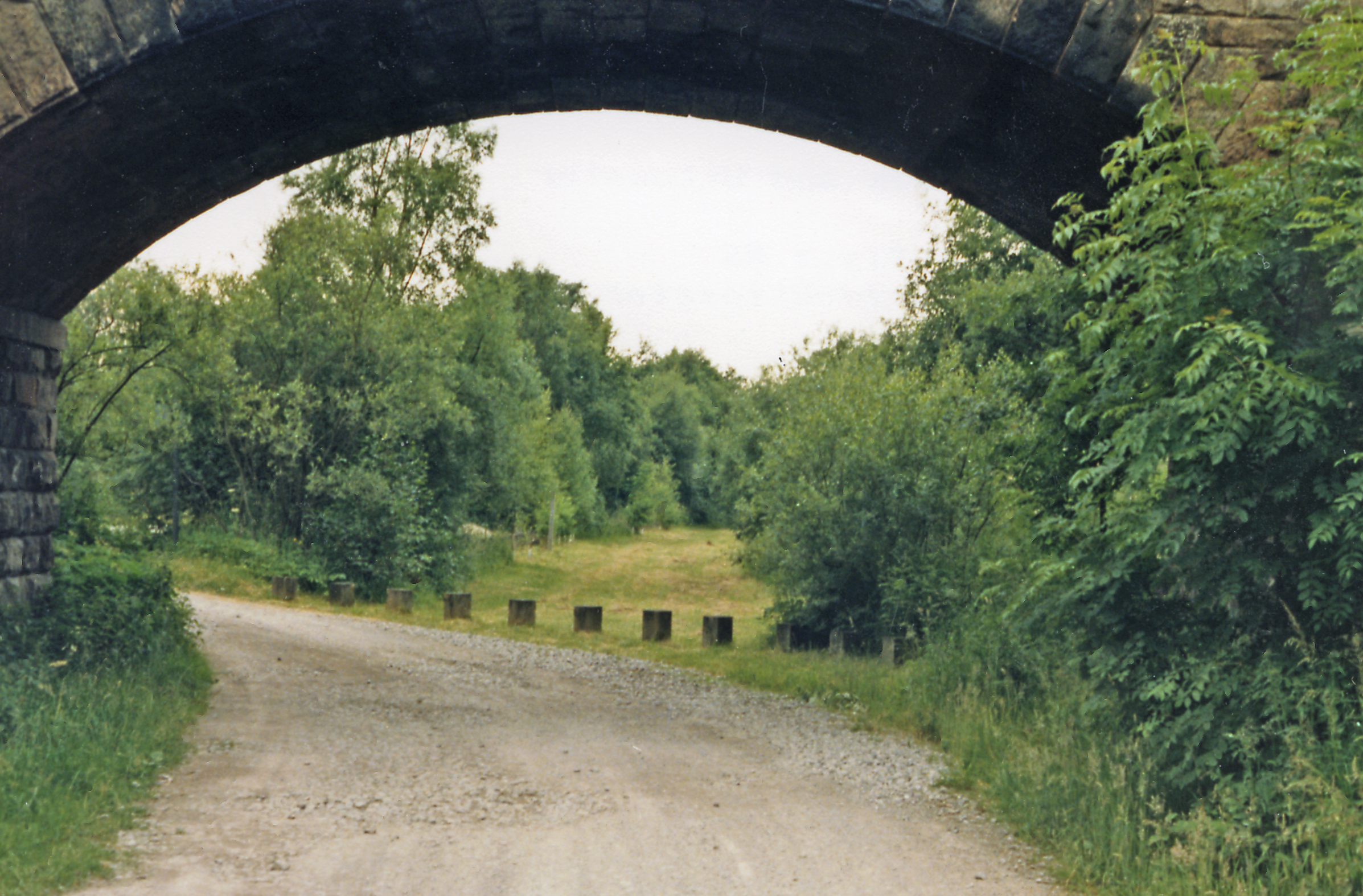
Heron Copse is a charming woodland located in the county of Cheshire, England. Nestled in the heart of a picturesque countryside, this enchanting copse covers an area of approximately 20 acres. It is known for its diverse range of tree species, including oak, beech, birch, and cherry.

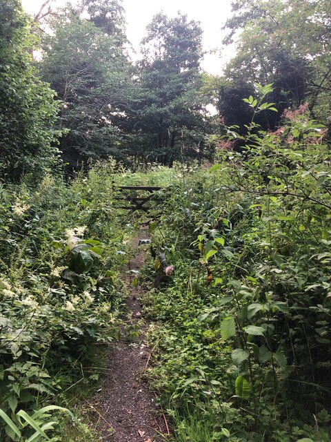
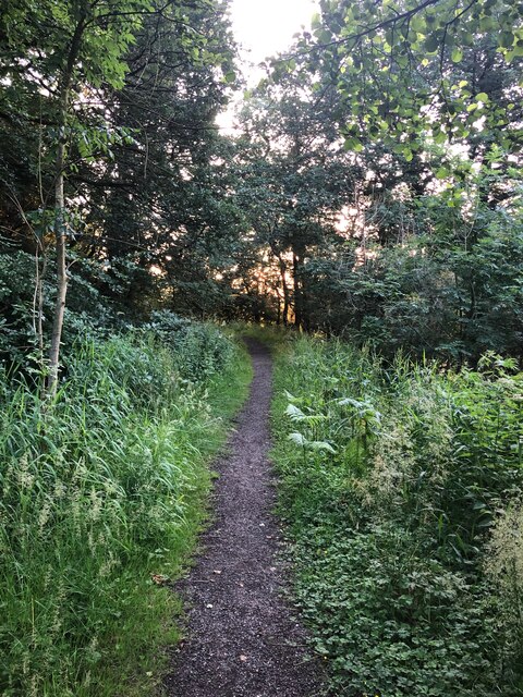
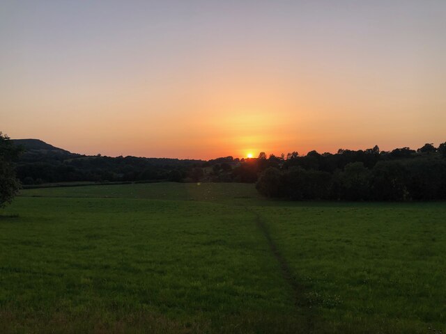
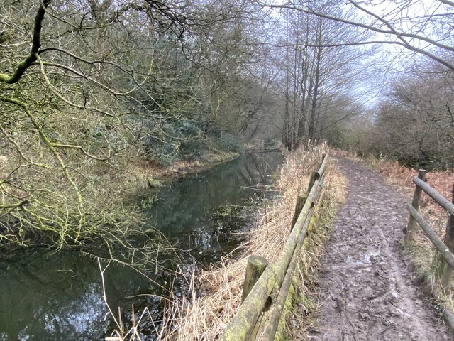
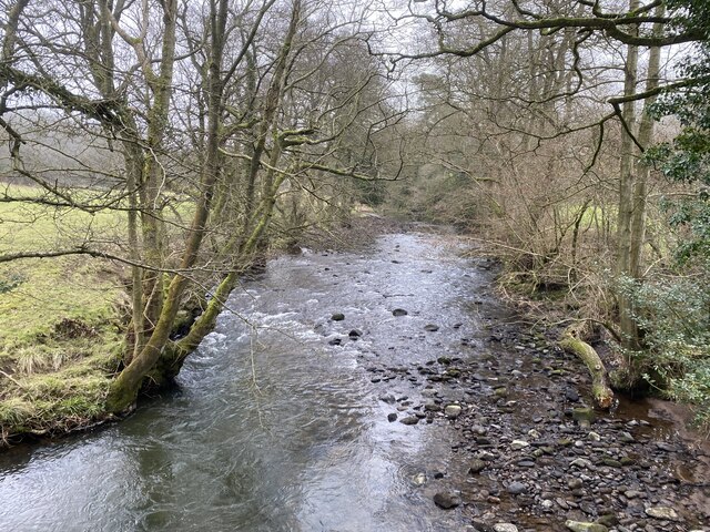
The copse is characterized by its dense vegetation and lush greenery, creating a peaceful and serene atmosphere for visitors. The forest floor is adorned with a carpet of vibrant wildflowers, adding to the beauty of the surroundings. The towering trees provide a canopy that filters the sunlight, casting enchanting patterns on the forest floor.

Heron Copse is home to a variety of wildlife, making it a popular destination for nature enthusiasts. Birdwatchers can spot a range of avian species, including herons, woodpeckers, and owls. The copse also attracts small mammals such as rabbits, foxes, and squirrels.

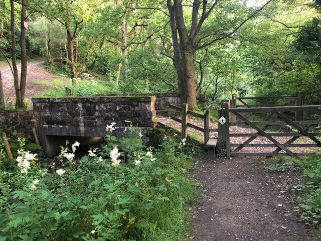
Visitors to Heron Copse can explore its numerous walking trails, which meander through the woodland, allowing them to immerse themselves in its natural beauty. The copse is also equipped with picnic areas, providing a perfect spot for families and friends to enjoy a leisurely outdoor meal.

Heron Copse is easily accessible, with ample parking available nearby. It offers a tranquil escape from the hustle and bustle of everyday life, allowing visitors to reconnect with nature and find solace in its serene surroundings.

If you have any feedback on the listing, please let us know in the comments section below.
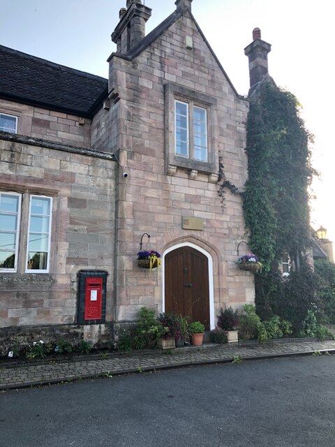
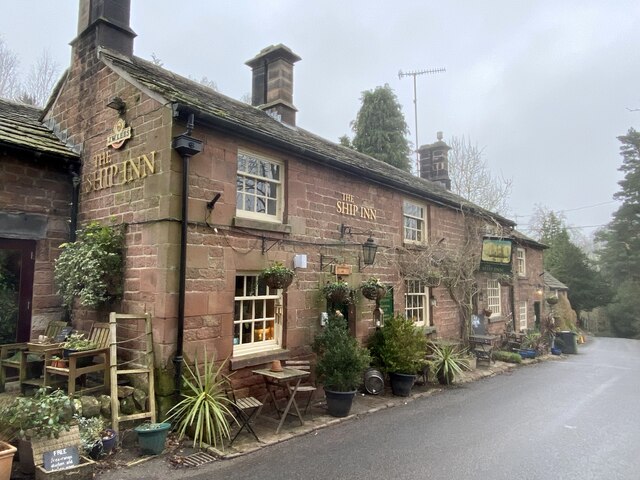
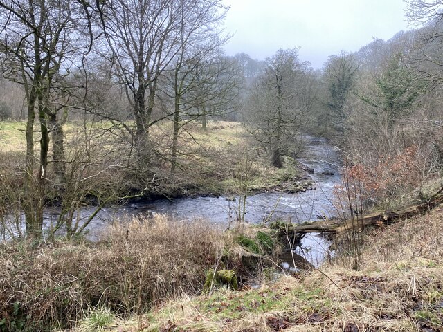
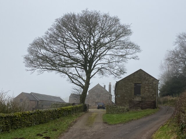
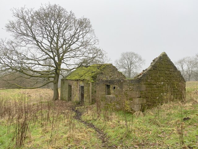
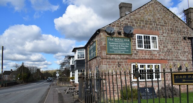
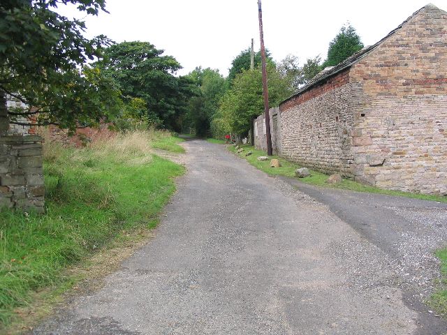
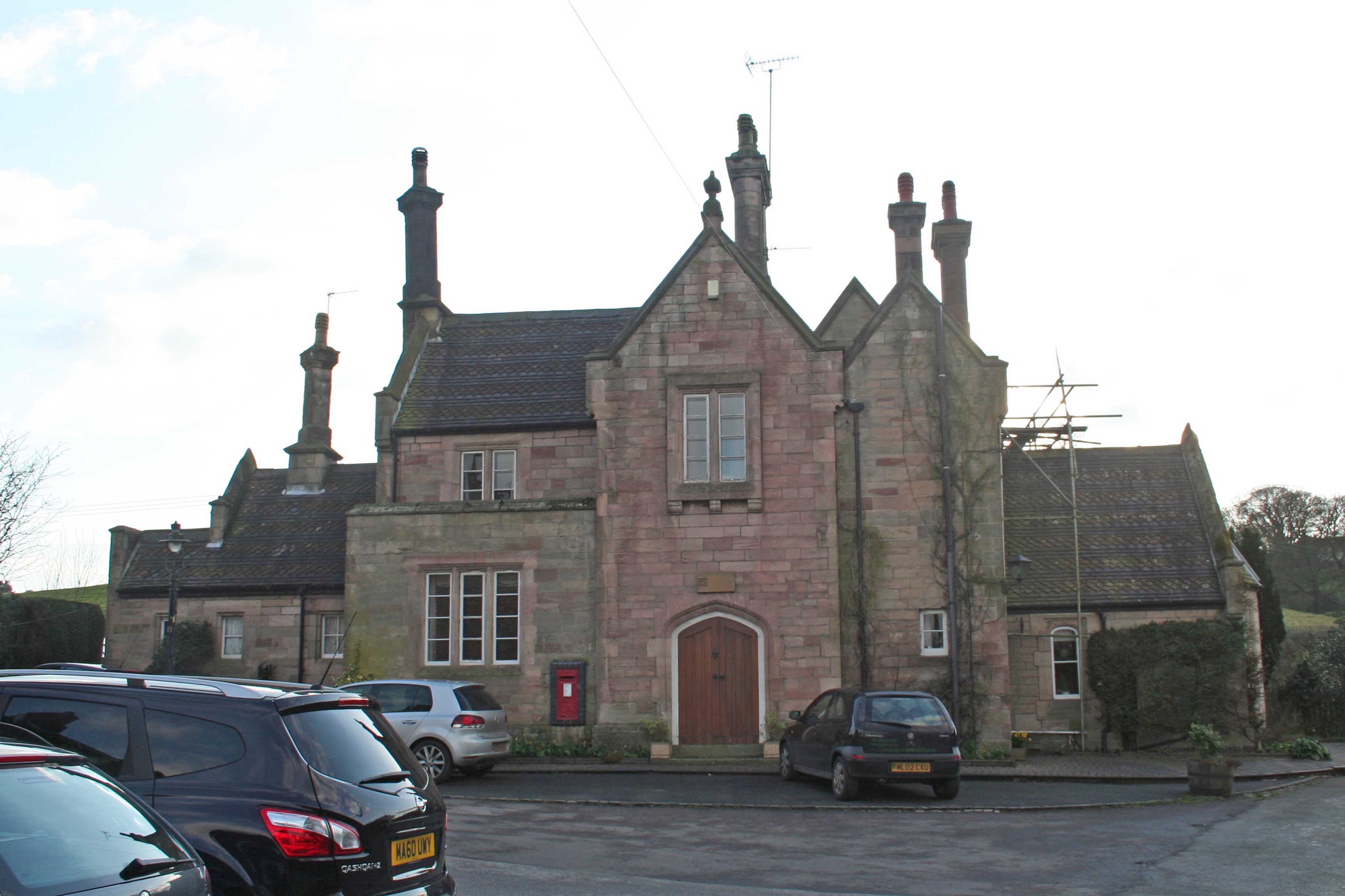
Heron Copse Images

Images are sourced within 2km of 53.172652/-2.0800563 or Grid Reference SJ9463. Thanks to Geograph Open Source API. All images are credited.

Former Railway Station at Rushton Spencer
Footpath NW of The Haddon
Footpath heading to Moss Manor Moss Manor is the farm located in the centre of the picture. The footpath is barely visible.
Footpath heading to Moss Manor
Moss Manor is the farm located in the centre of the picture. The footpath is barely visible.
Gate on Dane Valley Way Taken during the COVID pandemic, the path in this area is seriously overgrown. Staffordshire Council, please note.
Gate on Dane Valley Way
Taken during the COVID pandemic, the path in this area is seriously overgrown. Staffordshire Council, please note.
Dane Valley Way The Dane Valley Way is a long-distance footpath through Derbyshire, Staffordshire and Cheshire, England. It runs from the Pavilion Gardens in Buxton to the end of the River Dane, where it enters the River Weaver in Northwich. (Source Wikipedia <span class="nowrap"><a title="https://en.wikipedia.org/wiki/Dane_Valley_Way" rel="nofollow ugc noopener" href="https://en.wikipedia.org/wiki/Dane_Valley_Way">Link</a><img style="margin-left:2px;" alt="External link" title="External link - shift click to open in new window" src="https://s1.geograph.org.uk/img/external.png" width="10" height="10"/></span>
Dane Valley Way
The Dane Valley Way is a long-distance footpath through Derbyshire, Staffordshire and Cheshire, England. It runs from the Pavilion Gardens in Buxton to the end of the River Dane, where it enters the River Weaver in Northwich. (Source Wikipedia LinkExternal link
Dane Valley Way and bridge over Conduit The Dane Valley Way is a long-distance footpath through Derbyshire, Staffordshire and Cheshire, England. It runs from the Pavilion Gardens in Buxton to the end of the River Dane, where it enters the River Weaver in Northwich. (Source Wikipedia <span class="nowrap"><a title="https://en.wikipedia.org/wiki/Dane_Valley_Way" rel="nofollow ugc noopener" href="https://en.wikipedia.org/wiki/Dane_Valley_Way">Link</a><img style="margin-left:2px;" alt="External link" title="External link - shift click to open in new window" src="https://s1.geograph.org.uk/img/external.png" width="10" height="10"/></span>
Dane Valley Way and bridge over Conduit
The Dane Valley Way is a long-distance footpath through Derbyshire, Staffordshire and Cheshire, England. It runs from the Pavilion Gardens in Buxton to the end of the River Dane, where it enters the River Weaver in Northwich. (Source Wikipedia LinkExternal link
Dane Valley Way Silhouette of The Cloud visible to the left in picture,
Dane Valley Way
Silhouette of The Cloud visible to the left in picture,
The Royal Oak, Rushton Spencer
The Ship Inn, Wincle
The River Dane in winter
Wincle Grange in winter
Derelict farm buildings By the Gritstone Trail.
Derelict farm buildings
By the Gritstone Trail.
Muddy Gritstone Trail Following the route of the conduit taking water from the River Dane to Rudyard reservoir.
Muddy Gritstone Trail
Following the route of the conduit taking water from the River Dane to Rudyard reservoir.
River Dane Upstream from Barleigh Ford Bridge.
River Dane
Upstream from Barleigh Ford Bridge.
Row of trees marking field edge
The former Rushton Spencer railway station Now a private residence.
The former Rushton Spencer railway station
Now a private residence.
The Royal Oak in Rushden spencer. A community owned pub.
The Royal Oak in Rushden spencer.
A community owned pub.
Hawkslee These farm buildings are located on the gritstone trail. The picture was taken from sj9389765253 looking north.
Hawkslee
These farm buildings are located on the gritstone trail. The picture was taken from sj9389765253 looking north.
Show me another place!

Heron Copse is located at Grid Ref: SJ9463 (Lat: 53.172652, Lng: -2.0800563)

Unitary Authority: Cheshire East

Police Authority: Cheshire

What 3 Words

///factory.catchers.expand. Near Eaton, Cheshire

Related Wikis

Heaton, Staffordshire

Heaton is a small village and civil parish in Staffordshire, England. It is about 4 miles (6.4 km) north of Leek and about 7 miles (11 km) south of Macclesfield...

Rushton, Staffordshire

Rushton is a civil parish in Staffordshire, England. The village within the civil parish, usually known as Rushton Spencer, is about 4 miles (6.4 km) north...

Rushton railway station

Rushton Spencer railway station was a railway station that served the village of Rushton Spencer, Staffordshire. The station was opened by the North Staffordshire...

Wincle

Wincle is a village and civil parish in the Cheshire East district of Cheshire, England. It holds parish meetings, rather than parish council meetings...

St Michael's Church, Wincle

St Michael's Church is in the village of Wincle, Cheshire, England. It is an active Anglican parish church in the diocese of Chester, the archdeaconry...

Swythamley Hall

Swythamley Hall is a late 18th-century country house near Leek, Staffordshire which has been converted into four separate residences. It is a Grade II...

Bosley Minn

Bosley Minn is one of two names – the other being Wincle Minn – given to a prominent hill in southeast Cheshire and in the southwestern corner of the Peak...

Cliffe Park railway station

Cliffe Park railway station was opened by the North Staffordshire Railway (NSR) in 1905 on the Churnet Valley line to attract visitors to Rudyard Lake...

Nearby Amenities

Located within 500m of 53.172652,-2.0800563
Barrier: cattle_grid
Lat/Long: 53.1701365/-2.0858818
Barrier: stile
Dog Gate: yes
Foot: yes
Material: wood
Source: survey;bing
Steps: 2
Stile: stepover
Lat/Long: 53.1710711/-2.086374
Barrier: stile
Dog Gate: yes
Foot: yes
Stile: stepover
Lat/Long: 53.1769031/-2.0799051
Barrier: stile
Ele: 159.9438477
Steps: 1
Stile: stepover
Lat/Long: 53.1699108/-2.0828256
Barrier: kissing_gate
Ele: 158.7421875
Material: wood
Source: survey;gps
Lat/Long: 53.1698817/-2.0829693
Fixme: footpath continues south west
Lat/Long: 53.1695907/-2.0829706
The data included in this document is from www.openstreetmap.org. The data is made available under ODbL.

Have you been to Heron Copse?

Leave your review of Heron Copse below (or comments, questions and feedback).