Cross of Jackston
Settlement in Aberdeenshire
Scotland
Cross of Jackston
Cross of Jackston is a small village located in the Aberdeenshire region of Scotland. Situated in the northeastern part of the country, the village is nestled amidst picturesque countryside, offering residents and visitors a tranquil and scenic environment.
The village derives its name from a historic stone cross that stands at its center, believed to date back to the medieval period. This cross is a significant landmark and serves as a reminder of the area's rich history and heritage.
Cross of Jackston is primarily a residential area, with a small population of locals who enjoy the peaceful rural lifestyle. The village boasts a close-knit community, with friendly residents who take pride in their surroundings.
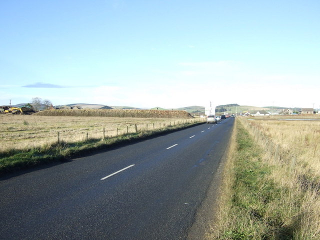
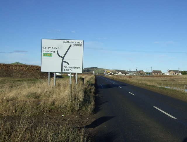
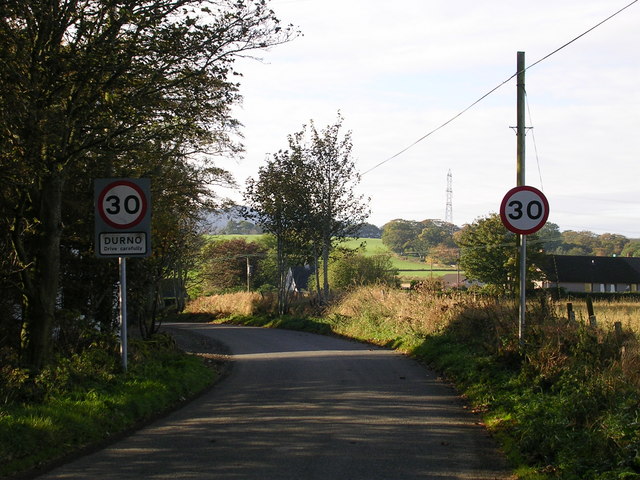
Although it is a small village, Cross of Jackston benefits from its proximity to nearby towns and cities. The town of Inverurie is just a short drive away, providing residents with access to a range of amenities, including shops, schools, and healthcare facilities.
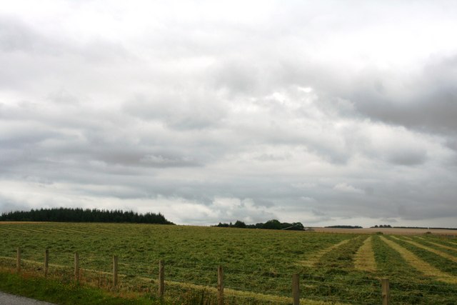
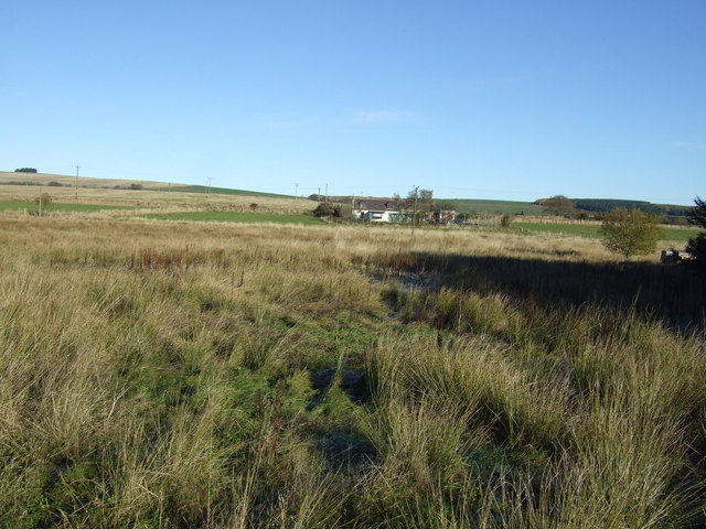
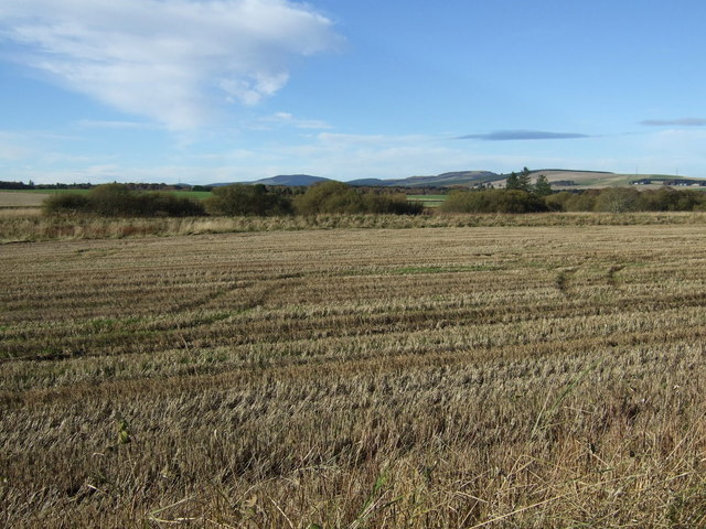
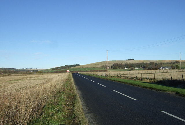
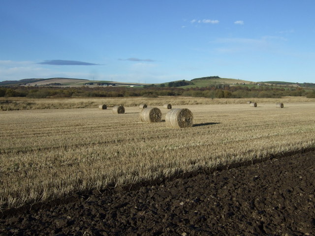
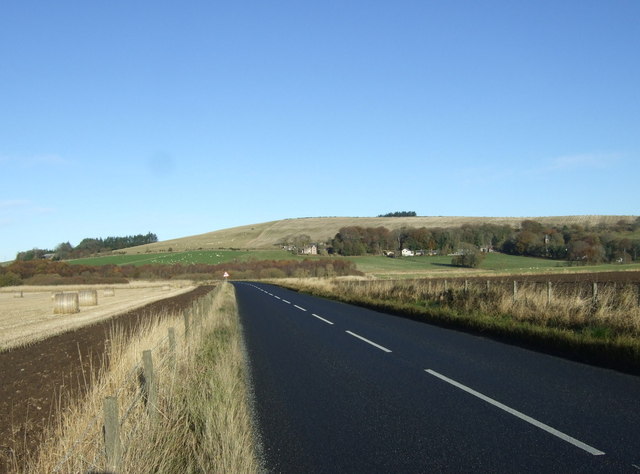
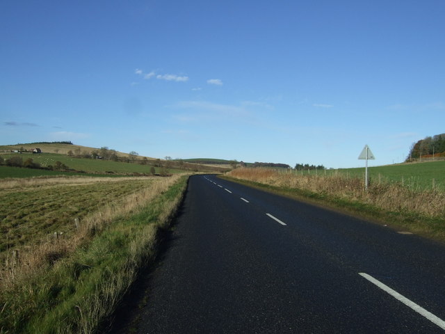
The surrounding countryside offers opportunities for outdoor activities such as hiking, cycling, and fishing. The area is known for its beautiful landscapes, rolling hills, and scenic walking trails, making it a popular destination for nature enthusiasts and outdoor adventurers.
In conclusion, Cross of Jackston is a peaceful and idyllic village in Aberdeenshire, Scotland. With its historic stone cross, friendly community, and stunning natural surroundings, it is a charming place to call home or visit for those seeking a tranquil escape.
If you have any feedback on the listing, please let us know in the comments section below.
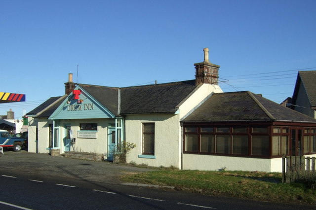
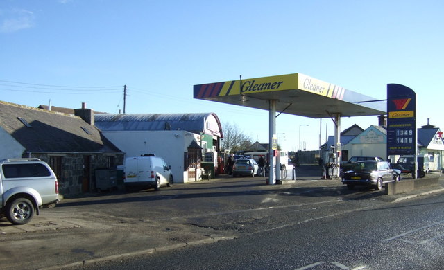
Cross of Jackston Images
Images are sourced within 2km of 57.377697/-2.4340246 or Grid Reference NJ7432. Thanks to Geograph Open Source API. All images are credited.


Cross of Jackston is located at Grid Ref: NJ7432 (Lat: 57.377697, Lng: -2.4340246)
Unitary Authority: Aberdeenshire
Police Authority: North East
What 3 Words
///pack.answers.waltzed. Near Rothienorman, Aberdeenshire
Nearby Locations
Related Wikis

Folla Rule
Folla Rule is a hamlet in Aberdeenshire, Scotland, on the site of the 1376 chapel of St Rule at Folla. Another church, St George's Episcopal, was built...
Meikle Wartle
Meikle Wartle is a small rural village in Aberdeenshire, Scotland. It is around 7 miles north of Inverurie. Local facilities include a village hall dating...

Meldrum transmitting station
The Meldrum transmitting station is a broadcasting and telecommunications facility, situated on Core Hill, 4.3 miles (6.9 km) north-west of the village...

Wartle railway station
Wartle railway station was a railway station that served local farms and the nearby hamlet of Meikle Wartle, Aberdeenshire. It was opened in 1857 by the...

Loanhead of Daviot stone circle
Loanhead of Daviot stone circle is a recumbent stone circle in Aberdeenshire in lowland northeast Scotland. The circle consists of the recumbent stone...
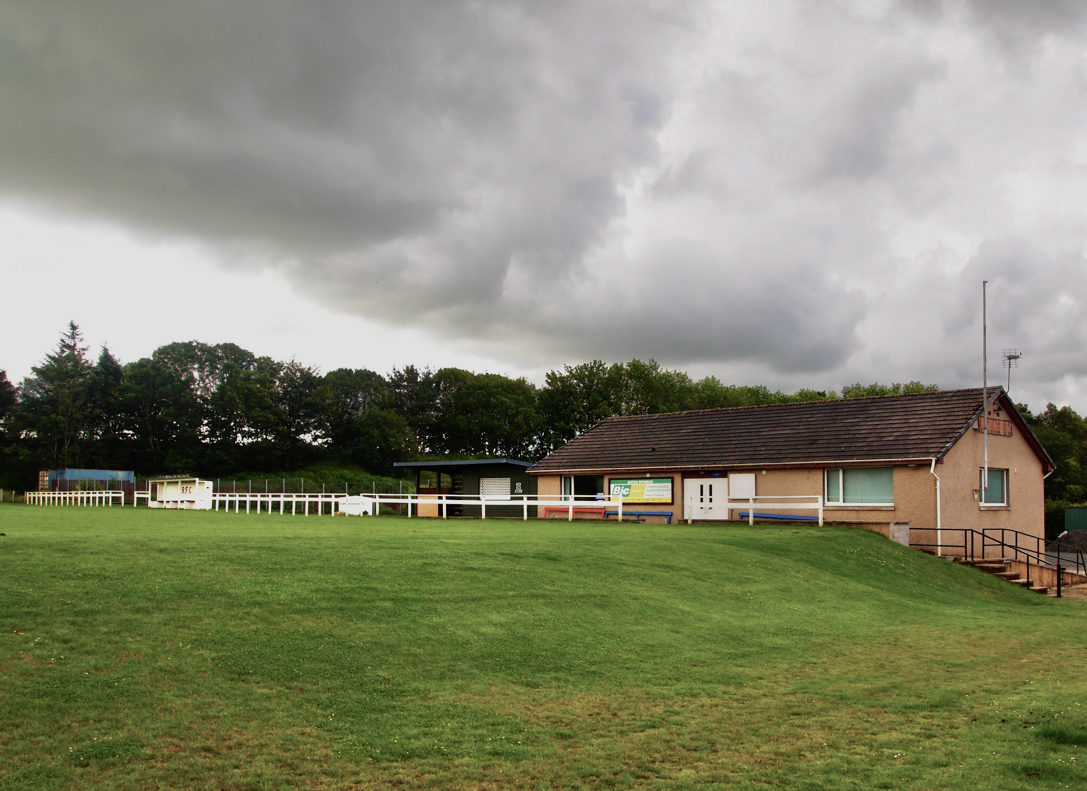
Rothie Rovers F.C.
Rothie Rovers are a Scottish football club from the village of Rothienorman in Aberdeenshire. They are members of the North Region of the Scottish Junior...

Rothienorman railway station
Rothienorman railway station, Rothie or Rothie Norman was a railway station in Rothienorman, Aberdeenshire on the rural branchline to Macduff. It lay 7...

Mounie Castle
Mounie Castle stands in its grounds in the village of Daviot, Aberdeenshire, Scotland. It is a Category A listed building. It was built by Robert Farquhar...
Nearby Amenities
Located within 500m of 57.377697,-2.4340246Have you been to Cross of Jackston?
Leave your review of Cross of Jackston below (or comments, questions and feedback).