Mingridge Wood
Wood, Forest in Northumberland
England
Mingridge Wood
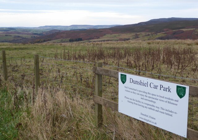
Mingridge Wood is a charming woodland area located in Northumberland, England. Covering an expansive area, the wood is nestled within the picturesque countryside, offering visitors a tranquil and serene experience. The wood is predominantly made up of deciduous trees, including oak, beech, and birch, creating a lush and vibrant environment.
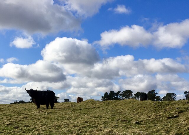
The wood is home to a variety of wildlife, making it a popular spot for nature enthusiasts and bird watchers. Visitors can spot an array of bird species, including woodpeckers, nuthatches, and tawny owls. Squirrels and rabbits can also be seen darting through the undergrowth, adding to the woodland's natural charm.
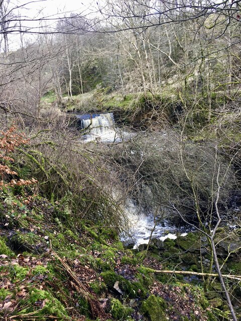
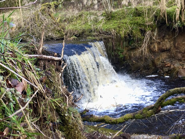
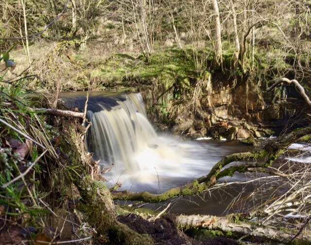
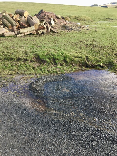
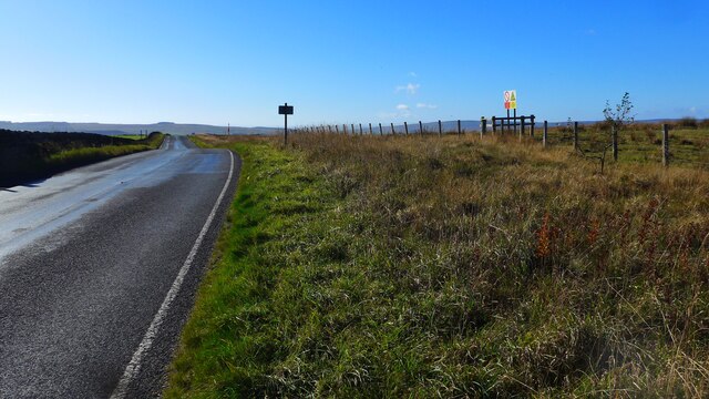
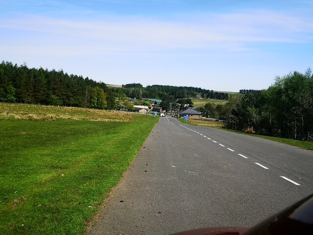
The wood boasts a network of well-maintained footpaths, allowing visitors to explore its beauty at their leisure. These paths wind through the wood, offering stunning views of the surrounding countryside and providing ample opportunities for peaceful walks and picnics. Additionally, the wood is home to a small stream, adding to its idyllic atmosphere.
Mingridge Wood also holds historical significance, with remnants of ancient settlements and stone formations scattered throughout the area. These archaeological features offer a glimpse into the wood's rich past and add an element of intrigue to the visitor's experience.
Overall, Mingridge Wood is a remarkable destination for those seeking a peaceful escape into nature. Its diverse flora and fauna, coupled with its historical significance, make it a truly enchanting woodland that is sure to captivate any visitor.
If you have any feedback on the listing, please let us know in the comments section below.
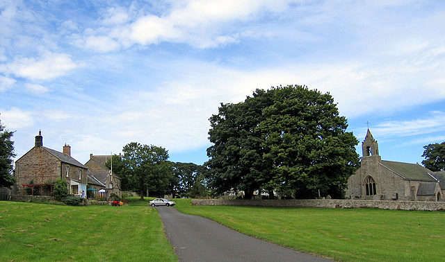
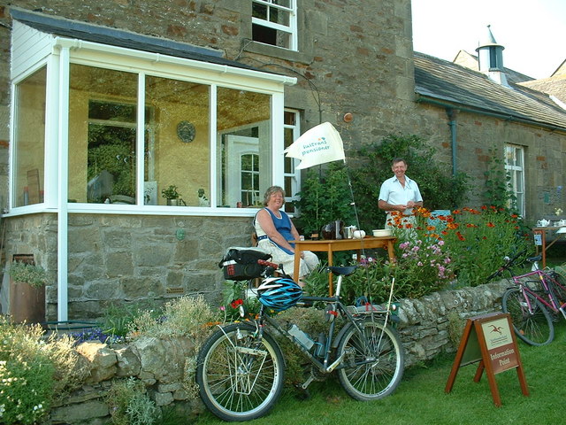
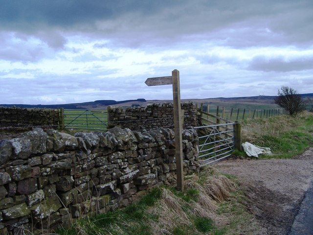
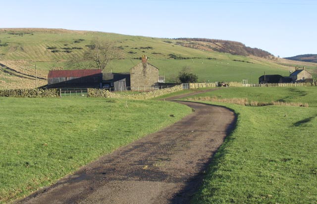
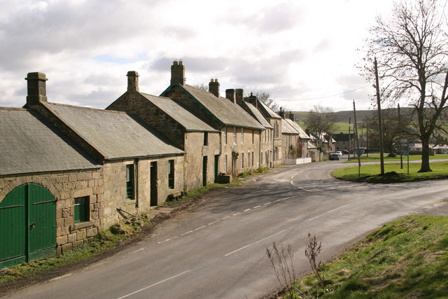
Mingridge Wood Images
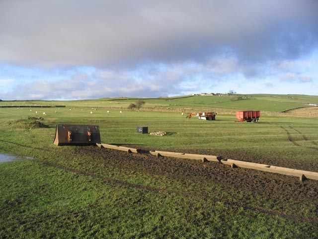
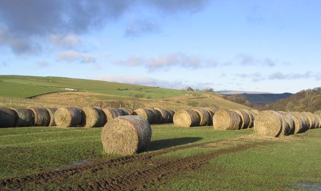
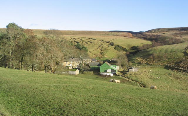
Images are sourced within 2km of 55.246854/-2.0853635 or Grid Reference NY9494. Thanks to Geograph Open Source API. All images are credited.

Mingridge Wood is located at Grid Ref: NY9494 (Lat: 55.246854, Lng: -2.0853635)
Unitary Authority: Northumberland
Police Authority: Northumbria
What 3 Words
///ratty.iceberg.radiates. Near Otterburn, Northumberland
Nearby Locations
Related Wikis

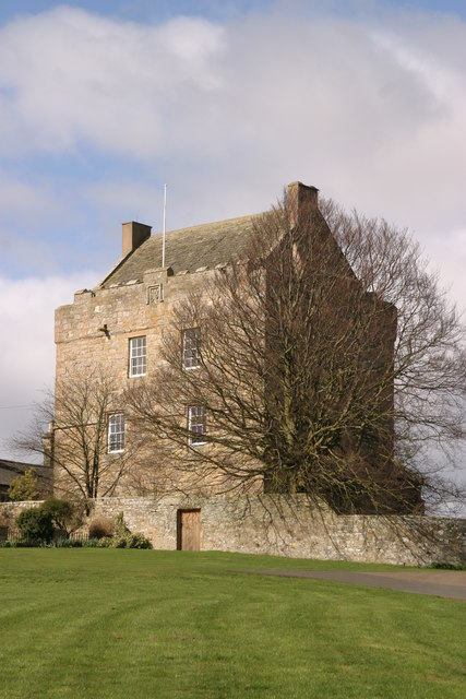
Elsdon Castle
Elsdon Castle is a castle in the village of Elsdon about 10 miles (16 km) to the southwest of Rothbury, in Northumberland, England, and also known as Mote...

Billsmoor Park and Grasslees Wood
Billsmoor Park and Grasslees Wood is the name given to a Site of Special Scientific Interest (SSSI) in Northumberland, North East England, designated in...

Elsdon Tower
Elsdon Tower is a Grade I listed medieval tower house converted for use as a Rectory situated at Elsdon, Northumberland. Originally part of the estate...
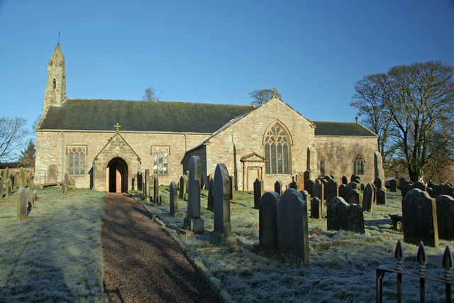
St Cuthbert's Church, Elsdon
St Cuthbert's Church is located in Elsdon, Alnwick, northeast England. The church was one of the resting places of St. Cuthbert's body in the wanderings...
Redesdale Studios
Redesdale Studios was a Northumberland recording studio founded in 1996. It was situated in Elsdon in North Northumberland. It began as a partnership between...

Elsdon, Northumberland
Elsdon is a village and civil parish in the English county of Northumberland about 10 miles (16 km) to the southwest of Rothbury. The name is derived from...
High Cove
High Cove is a major slip feature to the west of Grasslees Burn in the Simonside Hills, Northumberland, England. It contains several small rifts and caves...

Harwood Forest
Harwood Forest is a 3,527 hectares (8,720 acres) conifer plantation located to the south of Rothbury in North Northumberland, England, and managed by Forestry...
Nearby Amenities
Located within 500m of 55.246854,-2.0853635Have you been to Mingridge Wood?
Leave your review of Mingridge Wood below (or comments, questions and feedback).