Skears Plantation

Wood, Forest in Durham

England

Skears Plantation

Rumours and Uttas Rumours coffee shop and the HQ of the Upper Teesdale Agricultural Support Services.
Rumours and Uttas Credit: Colin Kinnear

The requested URL returned error: 429 Too Many Requests

If you have any feedback on the listing, please let us know in the comments section below.

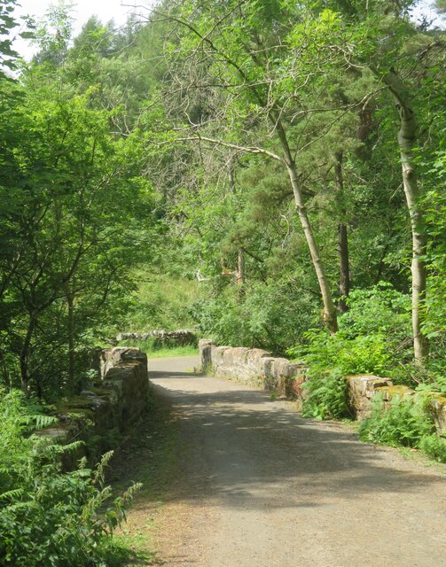
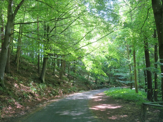
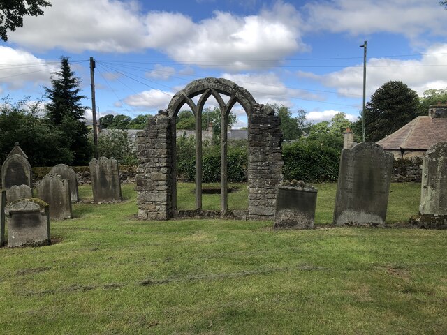
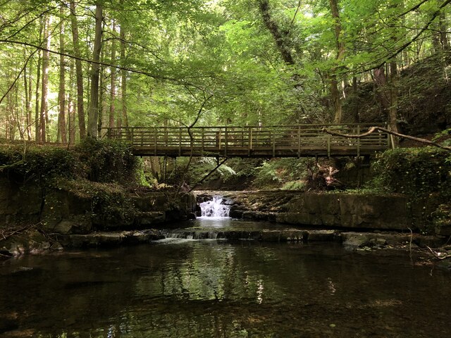
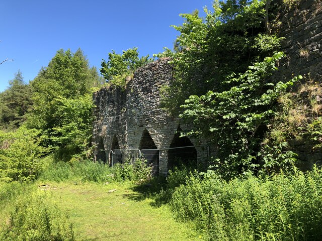
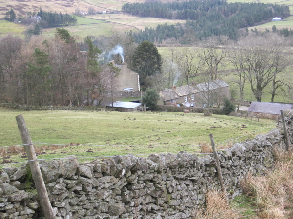
Skears Plantation Images

Images are sourced within 2km of 54.641533/-2.0844431 or Grid Reference NY9427. Thanks to Geograph Open Source API. All images are credited.

Rumours and Uttas Rumours coffee shop and the HQ of the Upper Teesdale Agricultural Support Services.
Rumours and Uttas
Rumours coffee shop and the HQ of the Upper Teesdale Agricultural Support Services.
Bridge at the road end Bridge over Hudeshope Beck at the point where the tarmac runs out and a footpath begins.
Bridge at the road end
Bridge over Hudeshope Beck at the point where the tarmac runs out and a footpath begins.
Road through the woods Heading south towards Middleton in Teesdale along the minor road above the Hudeshope Beck.
Road through the woods
Heading south towards Middleton in Teesdale along the minor road above the Hudeshope Beck.
Window tracery from former church Grade II listed C13th window tracery from former church of St Mary, set in the graveyard of the modern church.
Window tracery from former church
Grade II listed C13th window tracery from former church of St Mary, set in the graveyard of the modern church.
Footbridge across Hudeshope Beck
Course of railed incline, Coldberry Mine The incline was used to draw material up the shaft at the top by filling a railed water tank which ran down the incline, returning once the water was released.
Course of railed incline, Coldberry Mine
The incline was used to draw material up the shaft at the top by filling a railed water tank which ran down the incline, returning once the water was released.
Coldberry Mine Extensive former lead mine built by the London Lead Company. The site included several shafts and levels and adjacent hushes. Though the heyday was the 19th century, smaller scale operation continued until 1953. The site is now a scheduled monument and the remaining buildings are grade II listed.

Info: <span class="nowrap"><a title="https://www.heritagegateway.org.uk/Gateway/Results_Single.aspx?uid=959618&resourceID=19191" rel="nofollow ugc noopener" href="https://www.heritagegateway.org.uk/Gateway/Results_Single.aspx?uid=959618&resourceID=19191">Link</a><img style="margin-left:2px;" alt="External link" title="External link - shift click to open in new window" src="https://s1.geograph.org.uk/img/external.png" width="10" height="10"/></span>
Coldberry Mine
Extensive former lead mine built by the London Lead Company. The site included several shafts and levels and adjacent hushes. Though the heyday was the 19th century, smaller scale operation continued until 1953. The site is now a scheduled monument and the remaining buildings are grade II listed. Info: LinkExternal link
Skears Lime Kilns A group of 6 lime kilns of varying age adjacent to the former Skears Quarry.
Skears Lime Kilns
A group of 6 lime kilns of varying age adjacent to the former Skears Quarry.
Middleton House, Hude House built in 1823. By Ignatius Bonomi for London Lead Company, as agent's house and office, with later C19 addition of porch and right wing. The house has historical interest as the principal London Lead Company building in the area.
Grade II Listed Building (List Entry 1322803): <span class="nowrap"><a title="https://historicengland.org.uk/listing/the-list/list-entry/1322803" rel="nofollow ugc noopener" href="https://historicengland.org.uk/listing/the-list/list-entry/1322803">Link</a><img style="margin-left:2px;" alt="External link" title="External link - shift click to open in new window" src="https://s1.geograph.org.uk/img/external.png" width="10" height="10"/></span>
Middleton House, Hude
House built in 1823. By Ignatius Bonomi for London Lead Company, as agent's house and office, with later C19 addition of porch and right wing. The house has historical interest as the principal London Lead Company building in the area. Grade II Listed Building (List Entry 1322803): LinkExternal link
Middleton House, Hude
Clock tower, weighbridge and stables, Middleton House, Hude Clock tower, weighbridge with adjoining stables adjoining. Built in mid C19 for the London Lead Company.

Grade II Listed (List Entry 1121580): <span class="nowrap"><a title="https://historicengland.org.uk/listing/the-list/list-entry/1121580" rel="nofollow ugc noopener" href="https://historicengland.org.uk/listing/the-list/list-entry/1121580">Link</a><img style="margin-left:2px;" alt="External link" title="External link - shift click to open in new window" src="https://s1.geograph.org.uk/img/external.png" width="10" height="10"/></span>

There is another photo here: <a href="https://www.geograph.org.uk/photo/3446594">NY9425 : Clock and weighbridge tower adjoining Middleton House</a>
Clock tower, weighbridge and stables, Middleton House, Hude
Clock tower, weighbridge with adjoining stables adjoining. Built in mid C19 for the London Lead Company. Grade II Listed (List Entry 1121580): LinkExternal link There is another photo here: NY9425 : Clock and weighbridge tower adjoining Middleton House
Finial, Middleton House The spike behind the finial ball is the centre of the ogee pyramidal roof of the right wing of Middleton House.
Finial, Middleton House
The spike behind the finial ball is the centre of the ogee pyramidal roof of the right wing of Middleton House.
Remains of Coldberry Lead Mine The monument includes the ruins, earthworks and other remains of the Coldberry lead mine and Red Grooves Hushes and ore works. The monument lies between the Hudeshope and Bow Lee becks, 3km NNW of the village of Middleton in Teesdale. The early history of the lead workings at Coldberry is uncertain though more than two million tons of material had been removed from the hush prior to the mid-18th century. The mines were later worked by an extensive network of levels and dressing floors were built on artificial terraces in the 19th century. The mine declined thereafter though an oreshoot was worked between the late 1930s and 1953. The Coldberry Gutter hush, situated on the watershed between the Hudeshope and Bow Lee becks and running through Hardberry Hill, measures 1.7m long and is up to 50m wide by 30m deep. At the east end of the hush stand the remains of the largely mid-19th century Coldberry Mine built by the London Lead Company. The mine includes a two-storey mine lodging shop measuring 22m by 10m, a table and smithy block measuring 8m by 14m, a 2m high level arch and retaining wall and a roofed powder store, approximately 5m square, situated to the north west of the main complex. All are Grade II Listed Buildings.
Historic England Scheduled Monument (1015863): <span class="nowrap"><a title="https://historicengland.org.uk/listing/the-list/list-entry/1015863?section=official-list-entry" rel="nofollow ugc noopener" href="https://historicengland.org.uk/listing/the-list/list-entry/1015863?section=official-list-entry">Link</a><img style="margin-left:2px;" alt="External link" title="External link - shift click to open in new window" src="https://s1.geograph.org.uk/img/external.png" width="10" height="10"/></span>
Remains of Coldberry Lead Mine
The monument includes the ruins, earthworks and other remains of the Coldberry lead mine and Red Grooves Hushes and ore works. The monument lies between the Hudeshope and Bow Lee becks, 3km NNW of the village of Middleton in Teesdale. The early history of the lead workings at Coldberry is uncertain though more than two million tons of material had been removed from the hush prior to the mid-18th century. The mines were later worked by an extensive network of levels and dressing floors were built on artificial terraces in the 19th century. The mine declined thereafter though an oreshoot was worked between the late 1930s and 1953. The Coldberry Gutter hush, situated on the watershed between the Hudeshope and Bow Lee becks and running through Hardberry Hill, measures 1.7m long and is up to 50m wide by 30m deep. At the east end of the hush stand the remains of the largely mid-19th century Coldberry Mine built by the London Lead Company. The mine includes a two-storey mine lodging shop measuring 22m by 10m, a table and smithy block measuring 8m by 14m, a 2m high level arch and retaining wall and a roofed powder store, approximately 5m square, situated to the north west of the main complex. All are Grade II Listed Buildings. Historic England Scheduled Monument (1015863): LinkExternal link
Remains of Coldberry Lead Mine Level arch and retaining wall 25 metres south of mine shop.
The structure is a Grade II Listed Building (List Entry 1121620): <span class="nowrap"><a title="https://historicengland.org.uk/listing/the-list/list-entry/1121620" rel="nofollow ugc noopener" href="https://historicengland.org.uk/listing/the-list/list-entry/1121620">Link</a><img style="margin-left:2px;" alt="External link" title="External link - shift click to open in new window" src="https://s1.geograph.org.uk/img/external.png" width="10" height="10"/></span>
Remains of Coldberry Lead Mine
Level arch and retaining wall 25 metres south of mine shop. The structure is a Grade II Listed Building (List Entry 1121620): LinkExternal link
Mine Shop & Stables, Coldberry Lead Mine Showing the lead mine lodging shop and stables. Probably built in mid C19 for London Lead Company.

The Lodging Shop and Stables are both Grade II Listed Buildings.
Mine Shop (List Entry 1121621): <span class="nowrap"><a title="https://historicengland.org.uk/listing/the-list/list-entry/1121621" rel="nofollow ugc noopener" href="https://historicengland.org.uk/listing/the-list/list-entry/1121621">Link</a><img style="margin-left:2px;" alt="External link" title="External link - shift click to open in new window" src="https://s1.geograph.org.uk/img/external.png" width="10" height="10"/></span>
Stables 4m east of Mine Shop (List Entry 1281727): <span class="nowrap"><a title="https://historicengland.org.uk/listing/the-list/list-entry/1281727" rel="nofollow ugc noopener" href="https://historicengland.org.uk/listing/the-list/list-entry/1281727">Link</a><img style="margin-left:2px;" alt="External link" title="External link - shift click to open in new window" src="https://s1.geograph.org.uk/img/external.png" width="10" height="10"/></span>
Mine Shop & Stables, Coldberry Lead Mine
Showing the lead mine lodging shop and stables. Probably built in mid C19 for London Lead Company. The Lodging Shop and Stables are both Grade II Listed Buildings. Mine Shop (List Entry 1121621): LinkExternal link Stables 4m east of Mine Shop (List Entry 1281727): LinkExternal link
Show me another place!

Skears Plantation is located at Grid Ref: NY9427 (Lat: 54.641533, Lng: -2.0844431)

Unitary Authority: County Durham

Police Authority: Durham

What 3 Words

///reserves.heartened.access. Near Newbiggin, Co. Durham

Nearby Locations

Skears Plantation

Related Wikis

Aukside

Aukside is a small village in County Durham, in England. It is situated on the north side of Teesdale, a short distance from Middleton-in-Teesdale. It...

Snaisgill

Snaisgill is a hamlet in County Durham, in England. It is situated to the north of Middleton-in-Teesdale. The surrounding area was extensively mined for...

High Dyke, County Durham

High Dyke is a village in County Durham, in England. It is situated a short distance to the north of Middleton-in-Teesdale. == References ==

Middle Side

Middle Side is a village in County Durham, in England. It is situated on the north side of Teesdale between Middleton-in-Teesdale and Newbiggin. ��2�...

Nearby Amenities

Located within 500m of 54.641533,-2.0844431
Skears
Place: locality
Lat/Long: 54.645242/-2.0834733
Abandoned Man Made: adit
Description: old level
Note: exact location uncertain
Resource: lead
Source: NLS-OS-NatGrid-110k-1940-60
Lat/Long: 54.6431682/-2.0837508
Cold Gates
Place: locality
Source: NLS-OS-NatGrid-110k-1940-60
Lat/Long: 54.6430229/-2.077616
Low Skears
Historic: mine
Mineral: lead
Site Type: mineral_excavation
Source: NLS-OS-NatGrid-110k-1940-60
Source Mineral: NLS-OS-NatGrid-110k-1940-60
Lat/Long: 54.6427622/-2.082723
Abandoned Man Made: adit
Description: old level
Note: exact location uncertain
Resource: lead
Source: NLS-OS-NatGrid-110k-1940-60
Lat/Long: 54.6395423/-2.0807896
The data included in this document is from www.openstreetmap.org. The data is made available under ODbL.

Have you been to Skears Plantation?

Leave your review of Skears Plantation below (or comments, questions and feedback).