Standrise Plantation
Wood, Forest in Yorkshire Craven
England
Standrise Plantation

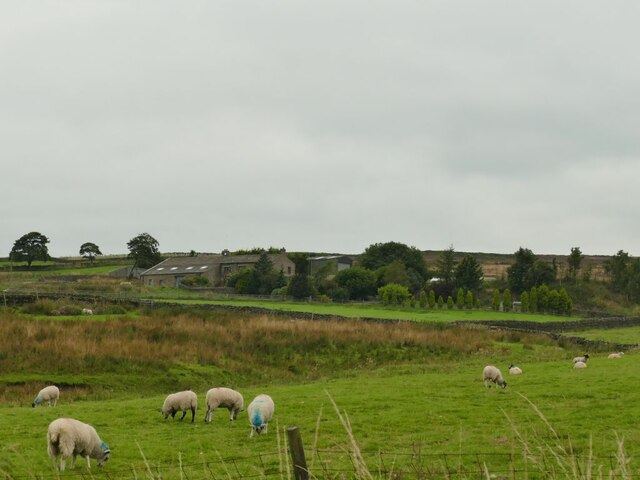
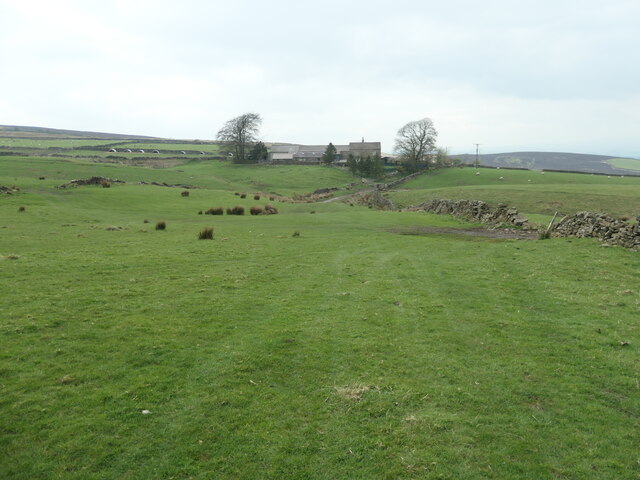
Standrise Plantation is a picturesque woodland located in Yorkshire, England. Situated in the heart of the countryside, the plantation spans a vast area and is known for its rich variety of trees and wildlife. The woodland is primarily made up of deciduous trees such as oak, beech, and birch, creating a stunning tapestry of colors during the autumn months.
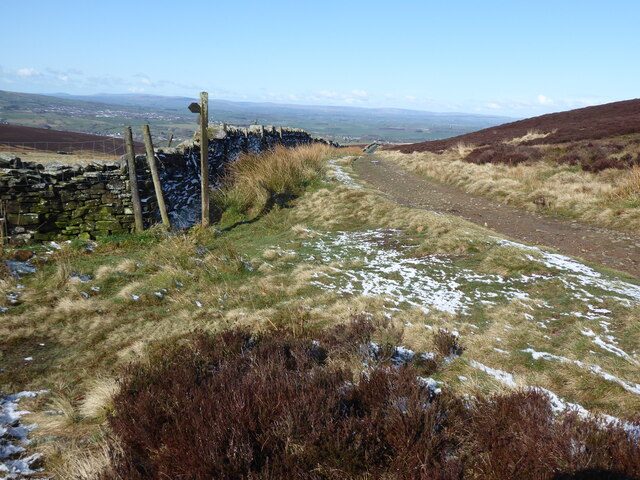
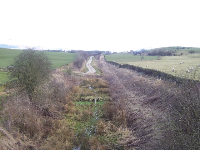
The plantation offers a peaceful and serene environment for visitors to explore and enjoy nature. There are numerous walking trails that wind through the woods, allowing visitors to immerse themselves in the beauty of the surroundings. These trails are well-maintained and suitable for all ages and fitness levels.
Wildlife enthusiasts will find plenty to marvel at in Standrise Plantation. The woodland is home to a diverse range of animal species, including deer, foxes, badgers, and a variety of bird species. Birdwatchers can spot woodpeckers, nightingales, and owls among others.
For those interested in history, Standrise Plantation holds significance as a former hunting ground for the local gentry. Remnants of old hunting lodges and structures can still be found throughout the woodland, adding an intriguing historical element to the area.
Standrise Plantation provides a sanctuary for nature lovers and offers a chance to escape the hustle and bustle of city life. Whether it's a leisurely stroll, a birdwatching expedition, or simply enjoying the tranquil atmosphere, this woodland is a true gem in the Yorkshire countryside.
If you have any feedback on the listing, please let us know in the comments section below.
Standrise Plantation Images
Images are sourced within 2km of 53.932181/-2.0833809 or Grid Reference SD9448. Thanks to Geograph Open Source API. All images are credited.


Standrise Plantation is located at Grid Ref: SD9448 (Lat: 53.932181, Lng: -2.0833809)
Division: West Riding
Administrative County: North Yorkshire
District: Craven
Police Authority: North Yorkshire
What 3 Words
///crows.eliminate.jams. Near Earby, Lancashire
Nearby Locations
Related Wikis
Elslack
Elslack is a village and civil parish in the Craven district of North Yorkshire, England, close to the border with Lancashire and 4 miles west of Skipton...

Elslack railway station
Elslack railway station once served the small village of Elslack in North Yorkshire, England. The station was built by the Leeds and Bradford Extension...

Fresh Radio
Fresh Radio was an Independent Local Radio station broadcasting to the Yorkshire Dales in northern England on two medium wave (AM) frequencies and three...

Broughton, Craven
Broughton is a village and civil parish in the Craven district of North Yorkshire, England. The village is on the A59 road approximately 3 miles (5 km...

Lothersdale
Lothersdale is a small village and civil parish in the former Craven district of North Yorkshire, England, near Skipton and within the triangle formed...

Carleton-in-Craven
Carleton-in-Craven is a small village and civil parish in the Craven district of North Yorkshire, England, and situated just over 1.5 miles (2.4 km) south...

Staincliffe Wapentake
Staincliffe, also known as Staincliff, was a wapentake of the West Riding of Yorkshire, England. The wapentake was named from a place called Staincliffe...
Moor Music Festival
The Moor Music Festival was an annual music festival held initially on a farm in Addingham Moorside, near the town of Ilkley, West Yorkshire. For the 2009...
Nearby Amenities
Located within 500m of 53.932181,-2.0833809Have you been to Standrise Plantation?
Leave your review of Standrise Plantation below (or comments, questions and feedback).