High Park

Wood, Forest in Wiltshire

England

High Park

A303, westbound The A303 is a main trunk road running 92 miles between Basingstoke and Honiton. Along with the A30 and M3 it forms a major route between London and the South West. Much of the road is dual carriageway, but some stretches remain single and prone to congestion.

Wikipedia: <span class="nowrap"><a title="http://en.wikipedia.org/wiki/A303_road" rel="nofollow ugc noopener" href="http://en.wikipedia.org/wiki/A303_road">Link</a><img style="margin-left:2px;" alt="External link" title="External link - shift click to open in new window" src="https://s1.geograph.org.uk/img/external.png" width="10" height="10"/></span>
A303, westbound Credit: N Chadwick

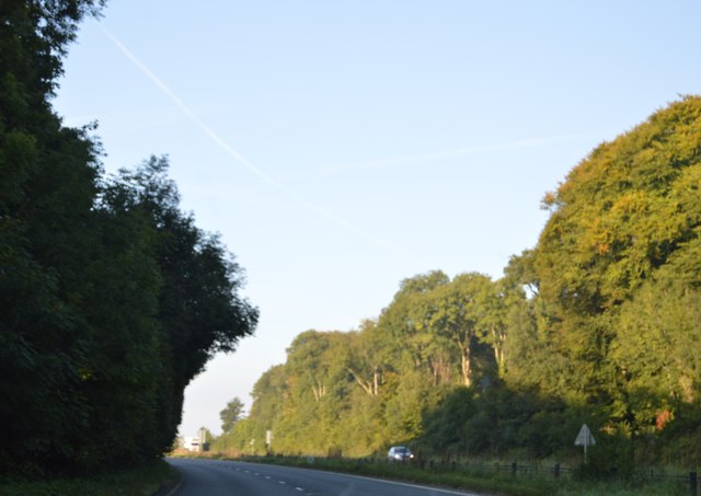
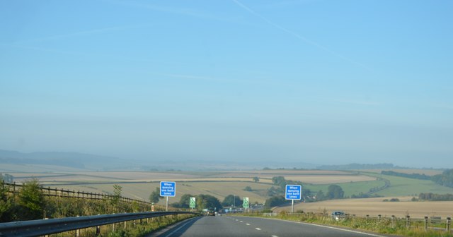
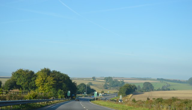
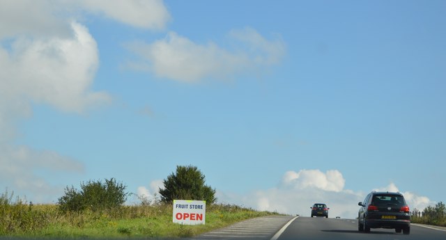
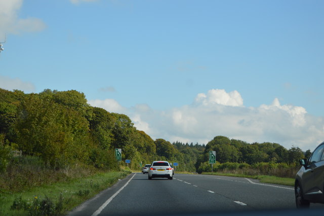
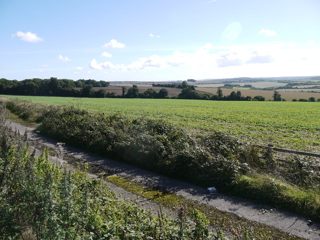
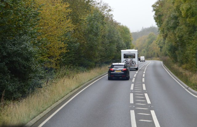
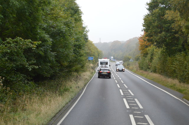
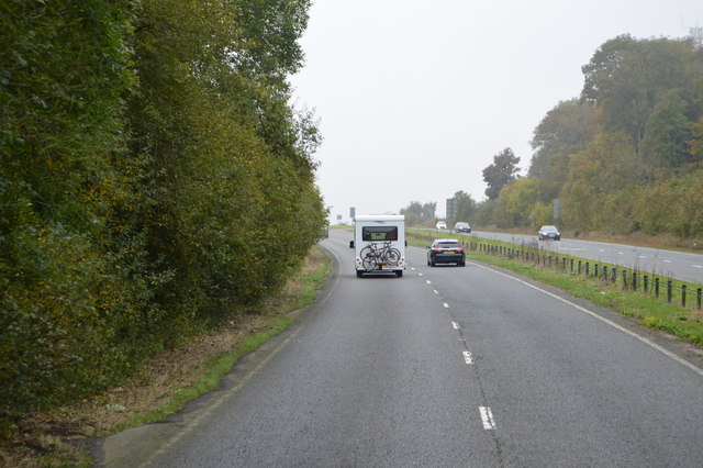
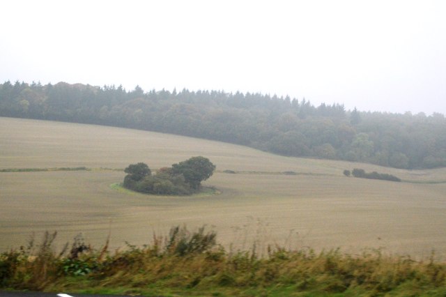
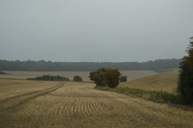
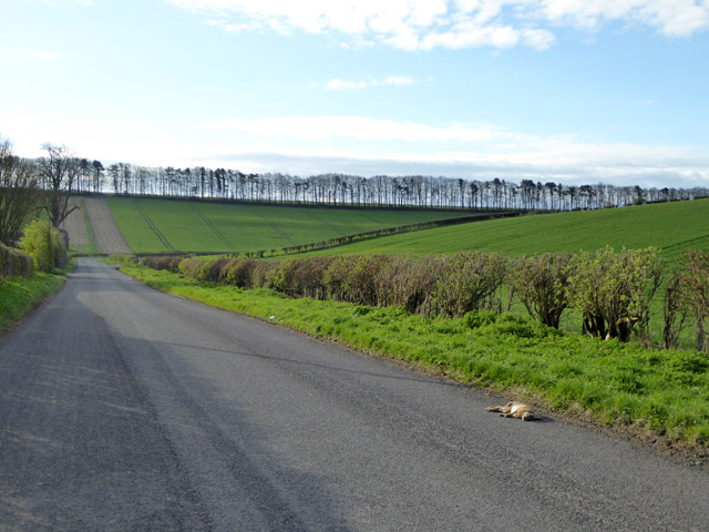
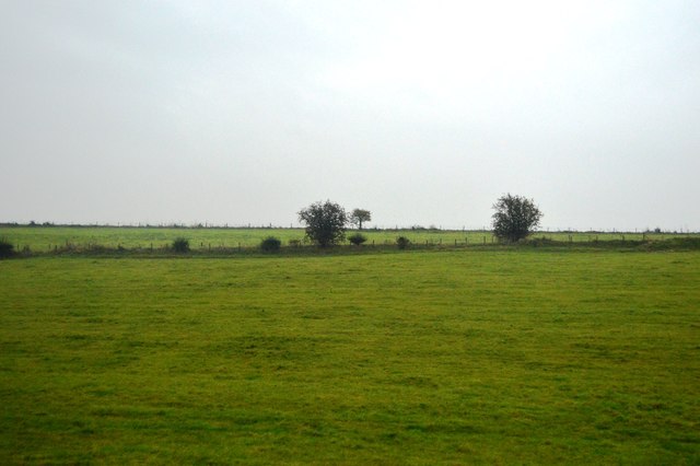
High Park, located in the county of Wiltshire, England, is a picturesque woodland area renowned for its natural beauty and rich biodiversity. Spread over an expansive area of approximately 500 acres, High Park is a haven for nature enthusiasts, hikers, and wildlife lovers.

The park's landscape is dominated by a dense forest of towering trees, including oak, beech, and ash, which create a tranquil and serene atmosphere. The woodland floor is adorned with a carpet of vibrant wildflowers, adding bursts of color to the scenery.

High Park is home to a diverse range of wildlife, making it a popular destination for birdwatching and wildlife spotting. Visitors can catch a glimpse of various bird species such as woodpeckers, owls, and finches. The park is also inhabited by mammals like deer, foxes, and badgers, which can often be seen roaming freely through the woodlands.

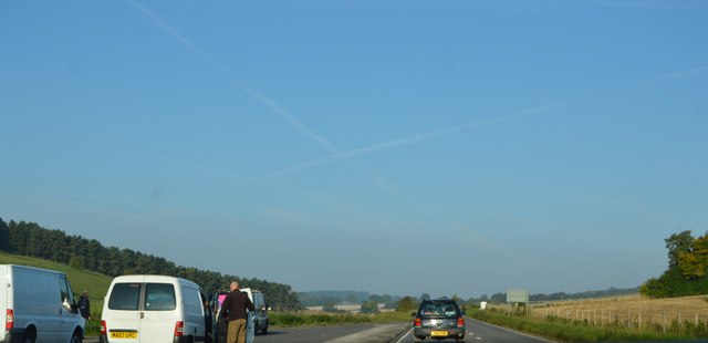
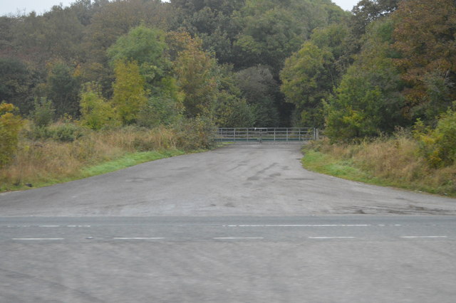
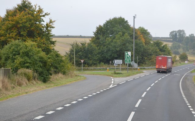
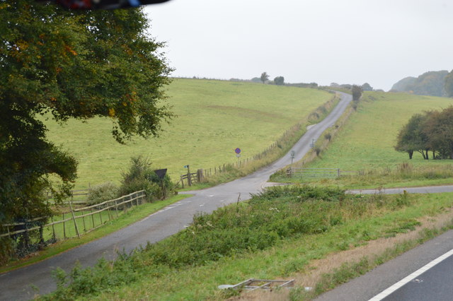
Several well-maintained trails wind through the park, providing visitors with the opportunity to explore and appreciate the natural surroundings. These paths are suitable for both leisurely strolls and more challenging hikes, offering something for everyone.

High Park is not only a recreational space but also an important conservation area. The park management actively works towards preserving its natural ecosystem and protecting its inhabitants. Educational programs and guided tours are organized to raise awareness about the park's ecological significance.

Overall, High Park, Wiltshire, offers a peaceful retreat for those seeking solace in nature. Its lush woodlands, diverse wildlife, and well-maintained trails make it a popular destination for outdoor enthusiasts and nature lovers alike.

If you have any feedback on the listing, please let us know in the comments section below.

High Park Images

Images are sourced within 2km of 51.118481/-2.079315 or Grid Reference ST9435. Thanks to Geograph Open Source API. All images are credited.

A303, westbound The A303 is a main trunk road running 92 miles between Basingstoke and Honiton. Along with the A30 and M3 it forms a major route between London and the South West. Much of the road is dual carriageway, but some stretches remain single and prone to congestion.

Wikipedia: <span class="nowrap"><a title="http://en.wikipedia.org/wiki/A303_road" rel="nofollow ugc noopener" href="http://en.wikipedia.org/wiki/A303_road">Link</a><img style="margin-left:2px;" alt="External link" title="External link - shift click to open in new window" src="https://s1.geograph.org.uk/img/external.png" width="10" height="10"/></span>
A303, westbound
The A303 is a main trunk road running 92 miles between Basingstoke and Honiton. Along with the A30 and M3 it forms a major route between London and the South West. Much of the road is dual carriageway, but some stretches remain single and prone to congestion. Wikipedia: LinkExternal link
A303, eastbound The A303 is a main trunk road running 92 miles between Basingstoke and Honiton. Along with the A30 and M3 it forms a major route between London and the South West. Much of the road is dual carriageway, but some stretches remain single and prone to congestion.

Wikipedia: <span class="nowrap"><a title="http://en.wikipedia.org/wiki/A303_road" rel="nofollow ugc noopener" href="http://en.wikipedia.org/wiki/A303_road">Link</a><img style="margin-left:2px;" alt="External link" title="External link - shift click to open in new window" src="https://s1.geograph.org.uk/img/external.png" width="10" height="10"/></span>
A303, eastbound
The A303 is a main trunk road running 92 miles between Basingstoke and Honiton. Along with the A30 and M3 it forms a major route between London and the South West. Much of the road is dual carriageway, but some stretches remain single and prone to congestion. Wikipedia: LinkExternal link
Countryside next to the A303 This field is on the south side of the dual carriageway main road between Hart Coppice visible on the left, and Fonthill bushes which is on the other side of the main road. The road in the foreground would appear to be part of the old single track A303 before it was upgraded to a dual carriageway.
Countryside next to the A303
This field is on the south side of the dual carriageway main road between Hart Coppice visible on the left, and Fonthill bushes which is on the other side of the main road. The road in the foreground would appear to be part of the old single track A303 before it was upgraded to a dual carriageway.
A303 The A303 is a main trunk road running 92 miles between Basingstoke and Honiton. Along with the A30 and M3 it forms a major route between London and the South West. Much of the road is dual carriageway, but some stretches remain single and prone to congestion.

Wikipedia: <span class="nowrap"><a title="http://en.wikipedia.org/wiki/A303_road" rel="nofollow ugc noopener" href="http://en.wikipedia.org/wiki/A303_road">Link</a><img style="margin-left:2px;" alt="External link" title="External link - shift click to open in new window" src="https://s1.geograph.org.uk/img/external.png" width="10" height="10"/></span>
A303
The A303 is a main trunk road running 92 miles between Basingstoke and Honiton. Along with the A30 and M3 it forms a major route between London and the South West. Much of the road is dual carriageway, but some stretches remain single and prone to congestion. Wikipedia: LinkExternal link
A303, westbound The A303 is a main trunk road running 92 miles between Basingstoke and Honiton. Along with the A30 and M3 it forms a major route between London and the South West. Much of the road is dual carriageway, but some stretches remain single and prone to congestion.

Wikipedia: <span class="nowrap"><a title="http://en.wikipedia.org/wiki/A303_road" rel="nofollow ugc noopener" href="http://en.wikipedia.org/wiki/A303_road">Link</a><img style="margin-left:2px;" alt="External link" title="External link - shift click to open in new window" src="https://s1.geograph.org.uk/img/external.png" width="10" height="10"/></span>
A303, westbound
The A303 is a main trunk road running 92 miles between Basingstoke and Honiton. Along with the A30 and M3 it forms a major route between London and the South West. Much of the road is dual carriageway, but some stretches remain single and prone to congestion. Wikipedia: LinkExternal link
Fonthill Bushes
Fonthill Bushes
A303, westbound The A303 is a main trunk road running 92 miles between Basingstoke and Honiton. Along with the A30 and M3 it forms a major route between London and the South West. Much of the road is dual carriageway, but some stretches remain single and prone to congestion.

Wikipedia: <span class="nowrap"><a title="http://en.wikipedia.org/wiki/A303_road" rel="nofollow ugc noopener" href="http://en.wikipedia.org/wiki/A303_road">Link</a><img style="margin-left:2px;" alt="External link" title="External link - shift click to open in new window" src="https://s1.geograph.org.uk/img/external.png" width="10" height="10"/></span>
A303, westbound
The A303 is a main trunk road running 92 miles between Basingstoke and Honiton. Along with the A30 and M3 it forms a major route between London and the South West. Much of the road is dual carriageway, but some stretches remain single and prone to congestion. Wikipedia: LinkExternal link
Fonthill Down
Fonthill Down
Junction to Fonthill Bishop, A303 The A303 is a main trunk road running 92 miles between Basingstoke and Honiton. Along with the A30 and M3 it forms a major route between London and the South West. Much of the road is dual carriageway, but some stretches remain single and prone to congestion.

Wikipedia: <span class="nowrap"><a title="http://en.wikipedia.org/wiki/A303_road" rel="nofollow ugc noopener" href="http://en.wikipedia.org/wiki/A303_road">Link</a><img style="margin-left:2px;" alt="External link" title="External link - shift click to open in new window" src="https://s1.geograph.org.uk/img/external.png" width="10" height="10"/></span>
Junction to Fonthill Bishop, A303
The A303 is a main trunk road running 92 miles between Basingstoke and Honiton. Along with the A30 and M3 it forms a major route between London and the South West. Much of the road is dual carriageway, but some stretches remain single and prone to congestion. Wikipedia: LinkExternal link
Road off the A303
Road off the A303
Farmland by the A303
Road kill, road to Fonthill Bishop March madness over, this hare has had it, in a strangely unsquashed way.
Road kill, road to Fonthill Bishop
March madness over, this hare has had it, in a strangely unsquashed way.
Chicklade Bottom
Chicklade Bottom
Show me another place!

High Park is located at Grid Ref: ST9435 (Lat: 51.118481, Lng: -2.079315)

Unitary Authority: Wiltshire

Police Authority: Wiltshire

What 3 Words

///glaze.flaunting.binder. Near Chicklade, Wiltshire

Nearby Locations

High Park Sherrington Wood

Related Wikis

Stockton Wood and Down

Stockton Wood and Down (grid reference ST958366) is a 61.5 hectare biological Site of Special Scientific Interest in the southwest of Stockton parish in...

Great Ridge Wood

Great Ridge Wood, formerly also known as Chicklade Wood, is one of the largest woodlands in southern Wiltshire, England. Mostly within the parishes of...

Fonthill Bishop

Fonthill Bishop is a small village and civil parish in Wiltshire, England, to the north of the Nadder valley and 9 miles (14 km) south of Warminster. The...

Berwick St Leonard

Berwick St Leonard is a small village and civil parish in Wiltshire, England, about 8 miles (13 km) southeast of Warminster and 14 miles (23 km) west of...

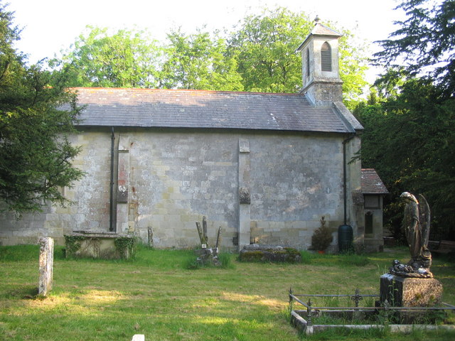
St Leonard's Church, Berwick St Leonard

St Leonard's Church in Berwick St Leonard, Wiltshire, England, was built in the 12th century. It is recorded in the National Heritage List for England...

West Wiltshire Downs

The West Wiltshire Downs is an area of downland in the west of the county of Wiltshire, England. The West Wiltshire Downs are geologically the same unit...

Chicklade

Chicklade is a small village and civil parish in Wiltshire, South West England. The village is on the A303 road, about 7 miles (11 km) south of Warminster...

Fonthill Lake

Fonthill Lake (grid reference ST933319) is a lake in southwest Wiltshire, England. It lies just to the south of the village of Fonthill Bishop, east of...

Have you been to High Park?

Leave your review of High Park below (or comments, questions and feedback).