Shellbrook Copse

Wood, Forest in Cheshire

England

Shellbrook Copse

View west from the A523 In the distance is Timersbrook Cloud
View west from the A523 Credit: Eirian Evans

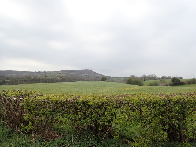
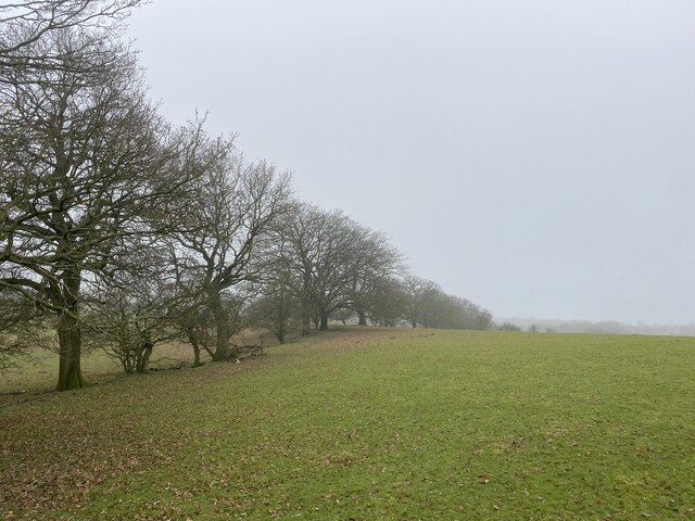
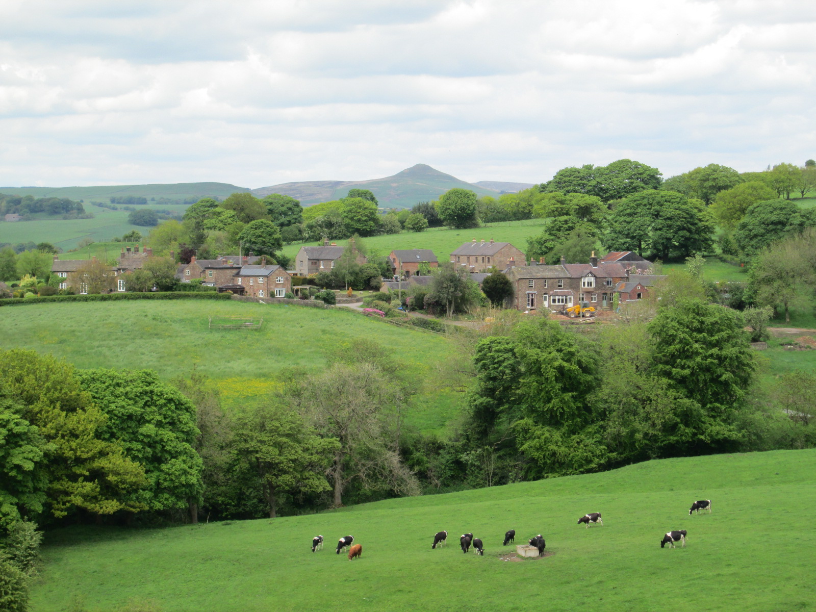
Shellbrook Copse is a picturesque woodland located in the county of Cheshire, England. Covering an area of approximately 50 acres, it is situated near the village of Shellbrook. The copse is characterized by its dense tree cover, predominantly consisting of native broadleaf species such as oak, beech, and birch.

The woodland boasts a diverse range of flora and fauna, making it a haven for nature enthusiasts. Bluebells, primroses, and wild garlic carpet the forest floor during spring, creating a stunning display of colors. Several species of ferns, mosses, and lichens can also be found in the undergrowth, adding to the copse's natural charm.

Shellbrook Copse is known for its rich wildlife. The trees provide nesting sites for various bird species, including woodpeckers, owls, and songbirds. Small mammals like squirrels, rabbits, and voles are commonly spotted scurrying among the trees. Deer and foxes are occasionally seen in the vicinity, adding to the copse's allure.

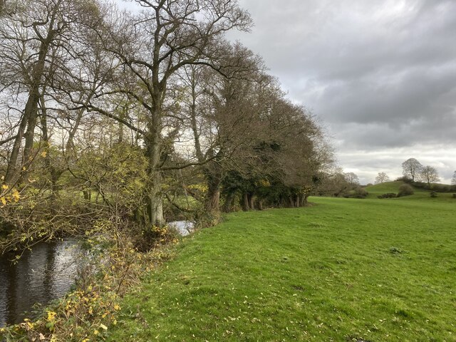
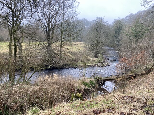
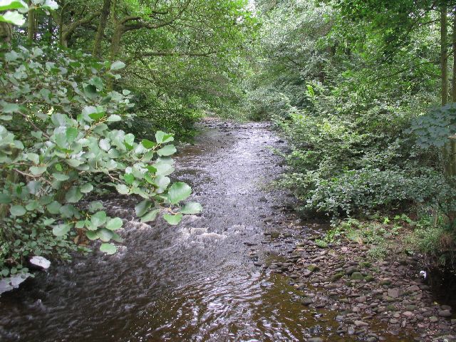
The copse offers several walking trails, allowing visitors to explore its beauty at their own pace. These trails wind through the woodland, providing glimpses of serene ponds and babbling brooks that add to the copse's tranquility. The copse is also home to a small picnic area, making it an ideal spot for families and nature lovers to enjoy a peaceful day out.

Shellbrook Copse is a cherished natural gem, offering a serene escape from the hustle and bustle of urban life. Its beauty and biodiversity make it a valuable habitat for both flora and fauna, providing a valuable space for conservation and enjoyment.

If you have any feedback on the listing, please let us know in the comments section below.

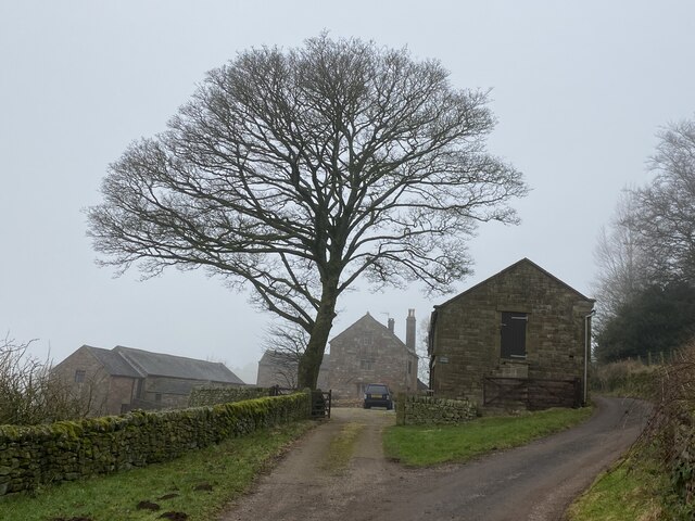
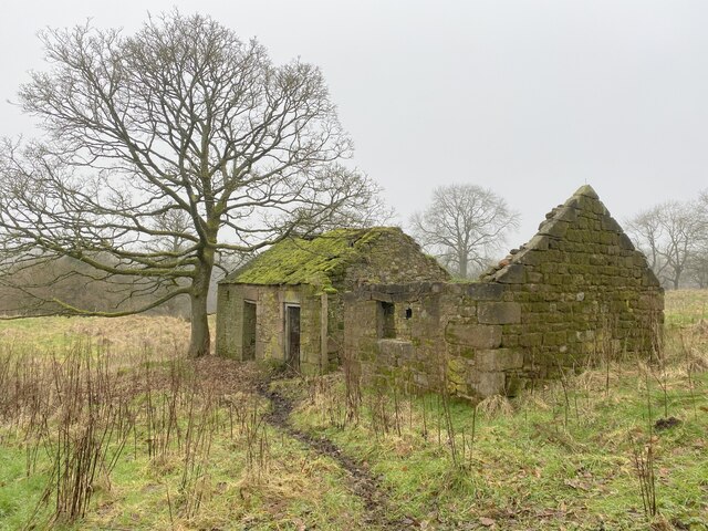
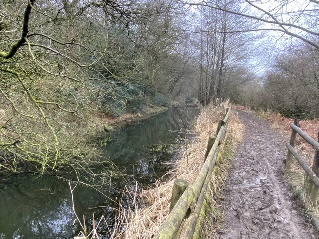
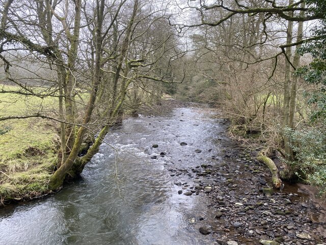
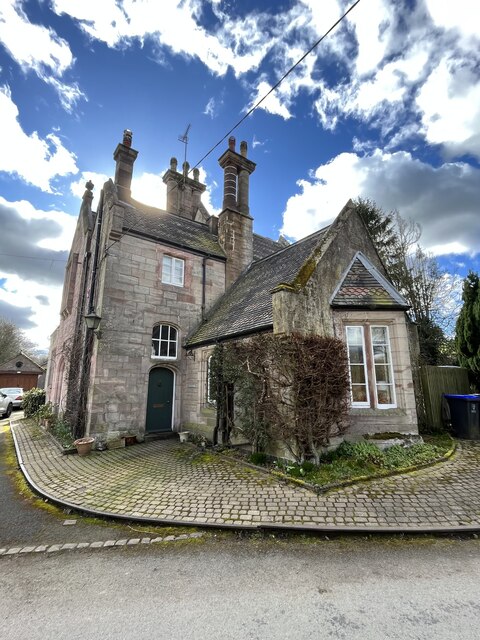
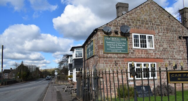
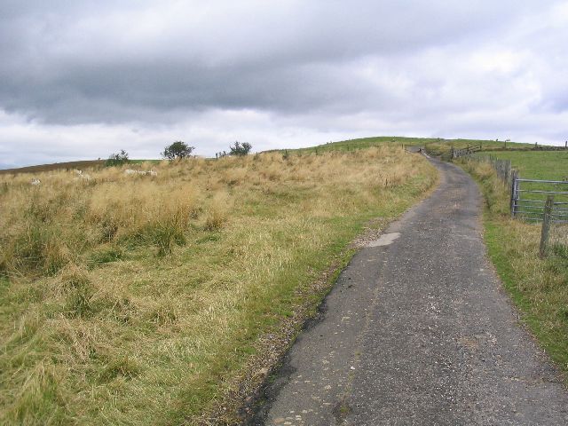
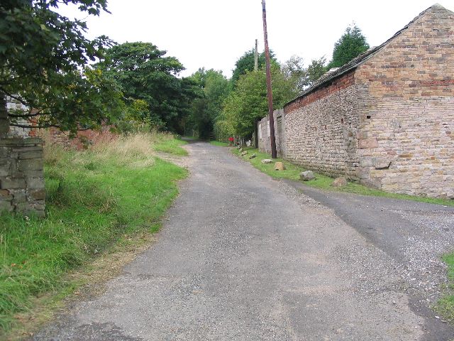
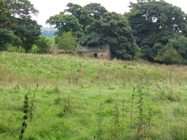
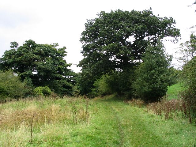
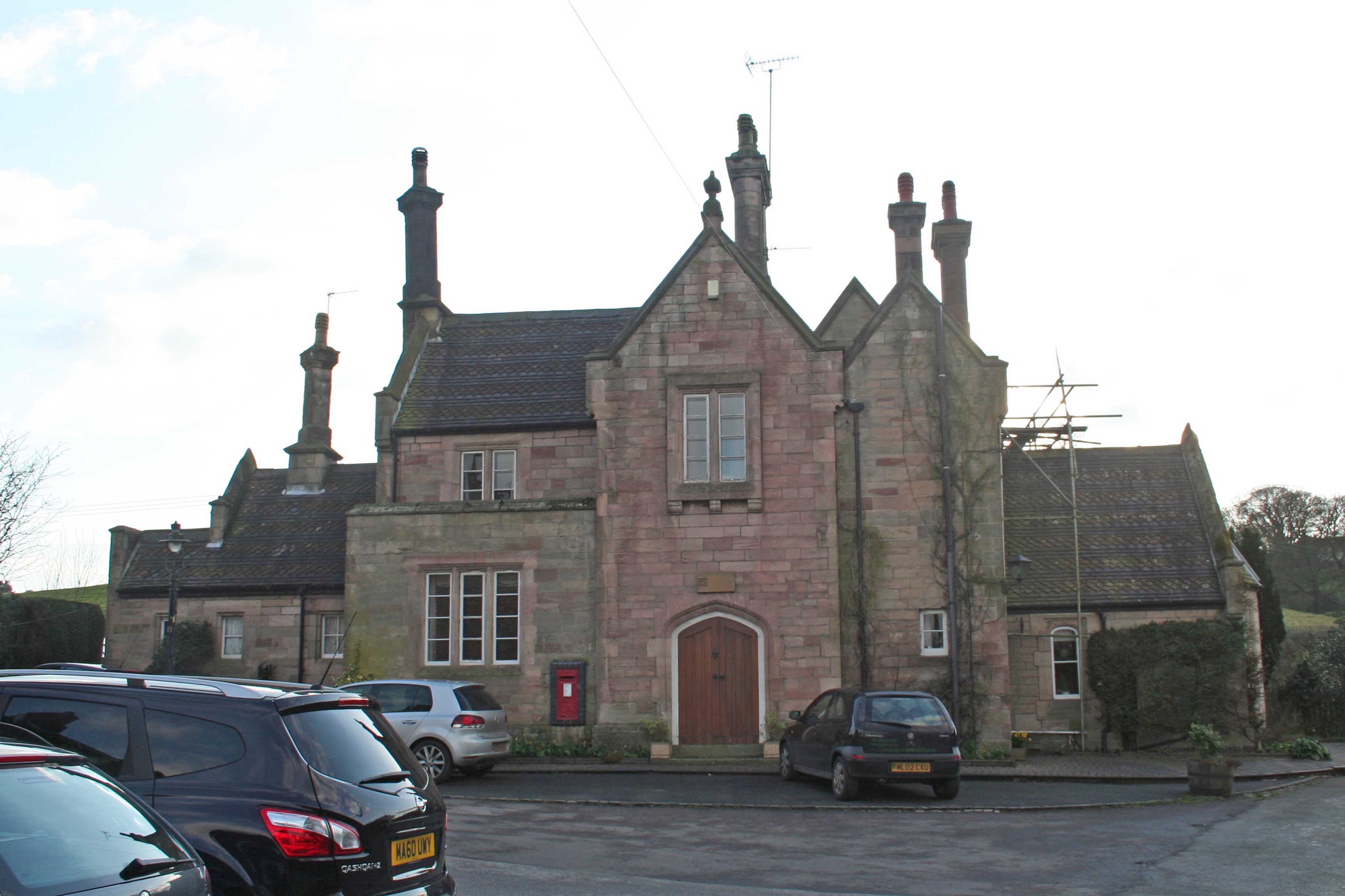
Shellbrook Copse Images

Images are sourced within 2km of 53.174455/-2.0849668 or Grid Reference SJ9464. Thanks to Geograph Open Source API. All images are credited.

View west from the A523 In the distance is Timersbrook Cloud
View west from the A523
In the distance is Timersbrook Cloud
The Royal Oak, Rushton Spencer
The Staffordshire bank... ...of the River Dane. Cheshire lies across the water.
The Staffordshire bank...
...of the River Dane. Cheshire lies across the water.
The River Dane in winter
Wincle Grange in winter
Derelict farm buildings By the Gritstone Trail.
Derelict farm buildings
By the Gritstone Trail.
Muddy Gritstone Trail Following the route of the conduit taking water from the River Dane to Rudyard reservoir.
Muddy Gritstone Trail
Following the route of the conduit taking water from the River Dane to Rudyard reservoir.
River Dane Upstream from Barleigh Ford Bridge.
River Dane
Upstream from Barleigh Ford Bridge.
Row of trees marking field edge
The former Rushton Spencer railway station Now a private residence.
The former Rushton Spencer railway station
Now a private residence.
The Royal Oak in Rushden Spencer A community-owned pub.
The Royal Oak in Rushden Spencer
A community-owned pub.
Gritstone Trail. This is the gritstone trail taken from sj9385465771 looking NE.
Gritstone Trail.
This is the gritstone trail taken from sj9385465771 looking NE.
Hawkslee These farm buildings are located on the gritstone trail. The picture was taken from sj9389765253 looking north.
Hawkslee
These farm buildings are located on the gritstone trail. The picture was taken from sj9389765253 looking north.
Pasture This picture taken from the Gritstone trail looking NW from <a href="https://www.geograph.org.uk/gridref/SJ9440364896">SJ9440364896</a> shows the pasture and sheep grazing. The farm buildings at <a href="https://www.geograph.org.uk/gridref/SJ9365">SJ9365</a> can be seen on the hill.
Pasture
This picture taken from the Gritstone trail looking NW from SJ9440364896 shows the pasture and sheep grazing. The farm buildings at SJ9365 can be seen on the hill.
Woods This picture was taken looking east from sj9459264866 towards the woods and Shell Brook.
Woods
This picture was taken looking east from sj9459264866 towards the woods and Shell Brook.
Disused farm This picture was taken looking south from the Gritstone Trail at SJ948647. These disused farm buildings at SJ948647 appear to be labelled as Dumkins on the OS map.
Disused farm
This picture was taken looking south from the Gritstone Trail at SJ948647. These disused farm buildings at SJ948647 appear to be labelled as Dumkins on the OS map.
Gritstone Trail This picture was taken from SJ9485464610 looking north along the Gritstone Trail.
Gritstone Trail
This picture was taken from SJ9485464610 looking north along the Gritstone Trail.
River Dane This picture taken from the bridge where the Gritstone Trail crosses the river Dane at sj9436163682 is looking east, upstream.
River Dane
This picture taken from the bridge where the Gritstone Trail crosses the river Dane at sj9436163682 is looking east, upstream.
Show me another place!

Shellbrook Copse is located at Grid Ref: SJ9464 (Lat: 53.174455, Lng: -2.0849668)

Unitary Authority: Cheshire East

Police Authority: Cheshire

What 3 Words

///type.thin.prouder. Near Eaton, Cheshire

Related Wikis

Heaton, Staffordshire

Heaton is a small village and civil parish in Staffordshire, England. It is about 4 miles (6.4 km) north of Leek and about 7 miles (11 km) south of Macclesfield...

Rushton, Staffordshire

Rushton is a civil parish in Staffordshire, England. The village within the civil parish, usually known as Rushton Spencer, is about 4 miles (6.4 km) north...

Rushton railway station

Rushton Spencer railway station was a railway station that served the village of Rushton Spencer, Staffordshire. The station was opened by the North Staffordshire...

St Michael's Church, Wincle

St Michael's Church is in the village of Wincle, Cheshire, England. It is an active Anglican parish church in the diocese of Chester, the archdeaconry...

Nearby Amenities

Located within 500m of 53.174455,-2.0849668
Barrier: cattle_grid
Lat/Long: 53.1701365/-2.0858818
Barrier: stile
Dog Gate: yes
Foot: yes
Material: wood
Source: survey;bing
Steps: 2
Stile: stepover
Lat/Long: 53.1710711/-2.086374
Barrier: stile
Dog Gate: yes
Foot: yes
Stile: stepover
Lat/Long: 53.1769031/-2.0799051
The data included in this document is from www.openstreetmap.org. The data is made available under ODbL.

Have you been to Shellbrook Copse?

Leave your review of Shellbrook Copse below (or comments, questions and feedback).