Newbarn Covert

Wood, Forest in Gloucestershire Cotswold

England

Newbarn Covert

Stone Stile, Culkerton From the Northern side of the A433 on Gloucestershire footpath NCH9 looking to the road. The view from the road is <a href="https://www.geograph.org.uk/photo/7228263">ST9296 : Stone Stile, Culkerton</a>.
Stone Stile, Culkerton Credit: Lenneke Jansens

Newbarn Covert is a forested area located in Gloucestershire, England. Covering an approximate area of 100 hectares, it is nestled within the picturesque countryside of the county. The woodland is primarily composed of a variety of trees, including oak, beech, and birch, which create a dense canopy over the forest floor.

This woodland has been designated as a Site of Special Scientific Interest (SSSI) due to its ecological significance. The diverse range of tree species present here provides a suitable habitat for a wide array of flora and fauna. The forest floor is adorned with an assortment of wildflowers, including bluebells, primroses, and wood anemones, creating a vibrant and colorful display during the spring season.

Newbarn Covert is also home to a rich and diverse wildlife population. Various species of birds, such as woodpeckers, owls, and warblers, can be spotted within the trees, while mammals like foxes, badgers, and deer roam the forest floor. The tranquil atmosphere and natural beauty of the woodland make it a popular destination for nature enthusiasts and birdwatchers.

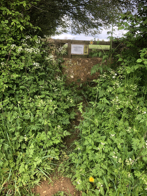
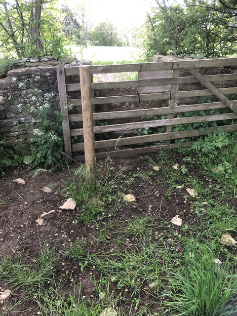
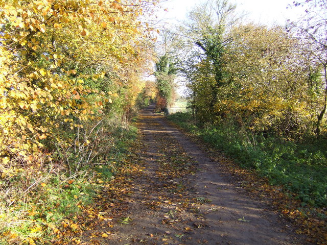
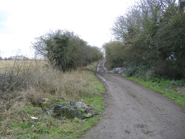
Visitors to Newbarn Covert can explore the forest via a network of well-maintained footpaths and trails. These paths meander through the trees, allowing visitors to immerse themselves in the peaceful ambiance of the woodland. The forest also offers opportunities for outdoor activities such as hiking and picnicking.

Overall, Newbarn Covert in Gloucestershire is a cherished natural gem, offering a serene escape from the hustle and bustle of everyday life and providing a haven for wildlife and nature lovers alike.

If you have any feedback on the listing, please let us know in the comments section below.

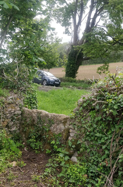
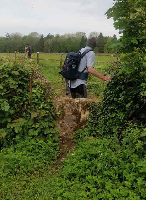
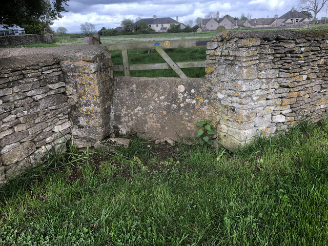
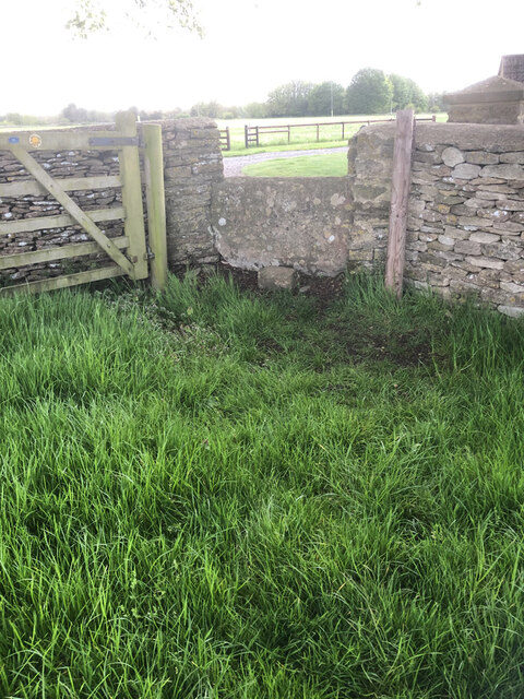
Newbarn Covert Images

Images are sourced within 2km of 51.659199/-2.0838582 or Grid Reference ST9495. Thanks to Geograph Open Source API. All images are credited.

Stone Stile, Culkerton From the Northern side of the A433 on Gloucestershire footpath NCH9 looking to the road. The view from the road is <a href="https://www.geograph.org.uk/photo/7228263">ST9296 : Stone Stile, Culkerton</a>.
Stone Stile, Culkerton
From the Northern side of the A433 on Gloucestershire footpath NCH9 looking to the road. The view from the road is ST9296 : Stone Stile, Culkerton.
Stone Stile, Culkerton From the Northern side of the A433 on Gloucestershire footpath NCH9 looking to the road. The view from the road is <a href="https://www.geograph.org.uk/photo/7228261">ST9296 : Stone Stile, Culkerton</a>.
Stone Stile, Culkerton
From the Northern side of the A433 on Gloucestershire footpath NCH9 looking to the road. The view from the road is ST9296 : Stone Stile, Culkerton.
Stone Stile, Culkerton On Gloucestershire footpath NAS1 across Holt Farm looking South to the village. The view North is <a href="https://www.geograph.org.uk/photo/7233049">ST9295 : Stone Stile, Culkerton</a>.
Stone Stile, Culkerton
On Gloucestershire footpath NAS1 across Holt Farm looking South to the village. The view North is ST9295 : Stone Stile, Culkerton.
Stone Stile, Culkerton On Gloucestershire footpath NAS1 across Holt Farm looking North away from the village. The view South is <a href="https://www.geograph.org.uk/photo/7233045">ST9295 : Stone Stile, Culkerton</a>.
Stone Stile, Culkerton
On Gloucestershire footpath NAS1 across Holt Farm looking North away from the village. The view South is ST9295 : Stone Stile, Culkerton.
Stone Stile, Culkerton On Gloucestershire footpath NAS1 leading from the A433 to Culkerton Village. This view looks SE towards the village. The view looking NW to the disused Kemble to Tetbury branch line is <a href="https://www.geograph.org.uk/photo/7233146">ST9296 : Stone Stile, Culkerton</a>.
Stone Stile, Culkerton
On Gloucestershire footpath NAS1 leading from the A433 to Culkerton Village. This view looks SE towards the village. The view looking NW to the disused Kemble to Tetbury branch line is ST9296 : Stone Stile, Culkerton.
Stone Stile, Culkerton On Gloucestershire footpath NAS1 leading from the A433 to Culkerton Village. This view looks NW to the disused Kemble to Tetbury branch line. The view looking towards the village is <a href="https://www.geograph.org.uk/photo/7233144">ST9296 : Stone Stile, Culkerton</a>.
Stone Stile, Culkerton
On Gloucestershire footpath NAS1 leading from the A433 to Culkerton Village. This view looks NW to the disused Kemble to Tetbury branch line. The view looking towards the village is ST9296 : Stone Stile, Culkerton.
Queueing at the airport Cotswold airport is a place where many retired aircraft come to meet their demise. Recycling old planes is a major business here and when machines reach the end of their working life or airlines collapse without salvage, they are flown here. They stand in wait, somewhat ironically.
Queueing at the airport
Cotswold airport is a place where many retired aircraft come to meet their demise. Recycling old planes is a major business here and when machines reach the end of their working life or airlines collapse without salvage, they are flown here. They stand in wait, somewhat ironically.
Culkerton Junction at the northern end of Culkerton looking south, the turn to Ashley going left. Note the old fashioned phonebox.
Culkerton
Junction at the northern end of Culkerton looking south, the turn to Ashley going left. Note the old fashioned phonebox.
Kemble Storage Hangar This is one of the large storage hangars located on Kemble Airfield. The whole site was sold off by the government (was an RAF Airfield) and the opportunity to visit was taken (and Geograph) due to an Open Day and Air Display
Kemble Storage Hangar
This is one of the large storage hangars located on Kemble Airfield. The whole site was sold off by the government (was an RAF Airfield) and the opportunity to visit was taken (and Geograph) due to an Open Day and Air Display
Road Junction A433 near Culkerton
Ashley Church Next to the manor this fine Norman church has interesting monuments inside and Norman carving on the exterior.
Ashley Church
Next to the manor this fine Norman church has interesting monuments inside and Norman carving on the exterior.
Fosse Gate Looking North Easterly along the arrow straight Roman Fosse Way, from Fosse Gate
Fosse Gate
Looking North Easterly along the arrow straight Roman Fosse Way, from Fosse Gate
Morgan's Tynings A pair of cottages at the entrance to a large group of farm buildings.
Morgan's Tynings
A pair of cottages at the entrance to a large group of farm buildings.
The Fosse Way Looking south west, along this section of byway. Note the fly tipping at the right hand side!
The Fosse Way
Looking south west, along this section of byway. Note the fly tipping at the right hand side!
Fly tipping Manufacturing off-cuts, dumped on the Fosse Way, near Culkerton.
Fly tipping
Manufacturing off-cuts, dumped on the Fosse Way, near Culkerton.
Manor farm, Culkerton
Cottages at Trull A terrace of stone cottages, currently undergoing refurbishment; at the entrance to the Trull estate, north of the A433.
Cottages at Trull
A terrace of stone cottages, currently undergoing refurbishment; at the entrance to the Trull estate, north of the A433.
Dismantled railway bridge The GWR branch line from Kemble to Tetbury once ran above the road at this point, north of Culkerton.
Dismantled railway bridge
The GWR branch line from Kemble to Tetbury once ran above the road at this point, north of Culkerton.
Show me another place!

Newbarn Covert is located at Grid Ref: ST9495 (Lat: 51.659199, Lng: -2.0838582)

Administrative County: Gloucestershire

District: Cotswold

Police Authority: Gloucestershire

What 3 Words

///snows.deciding.users. Near Hankerton, Wiltshire

Nearby Locations

Newbarn Covert

Related Wikis

Rodmarton Platform railway station

Rodmarton Platform was a railway station serving the village of Rodmarton on the Tetbury branch line between Cirencester and Tetbury in Gloucestershire...

Church's Hill Halt railway station

Church's Hill Halt railway station served the village of Ashley, Gloucestershire, England, from 1959 to 1964 on the Tetbury Branch Line. == History... ==

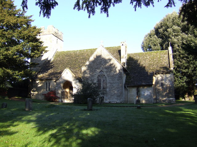
Church of St James, Ashley

The Anglican Church of St James at Ashley in the Cotswold District of Gloucestershire, England was built in the Norman period and rebuilt around 1200....

Ashley, Gloucestershire

Ashley is a village and civil parish in the Cotswold district of Gloucestershire, England, about 8 miles south-west of Cirencester. According to the 2001...

Windmill Tump

Windmill Tump, also known as Rodmarton Chambered Tomb, is a Neolithic burial site, a stone tumulus or barrow. It is a mound covering the site of graves...

Culkerton Halt railway station

Culkerton Halt railway station served the hamlet of Culkerton, Gloucestershire, England, from 1889 to 1964 on the Tetbury Branch Line. == History == The...

Cotswold Airport

Cotswold Airport (IATA: GBA, ICAO: EGBP) (formerly Kemble Airfield) is a private general aviation airport, near the village of Kemble in Gloucestershire...

Rodmarton Manor

Rodmarton Manor is a large country house, in Rodmarton, near Cirencester, Gloucestershire, built for the Biddulph family. It is a Grade I listed building...

Have you been to Newbarn Covert?

Leave your review of Newbarn Covert below (or comments, questions and feedback).