Longfield Wood
Wood, Forest in Yorkshire
England
Longfield Wood

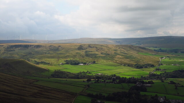
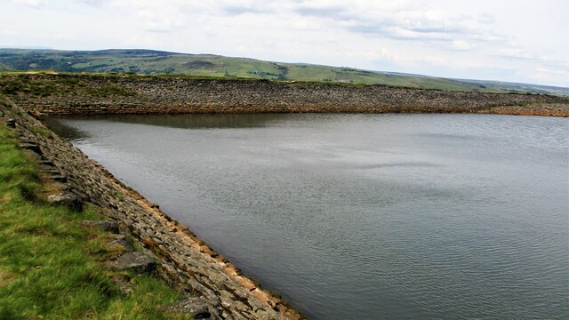
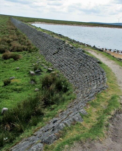
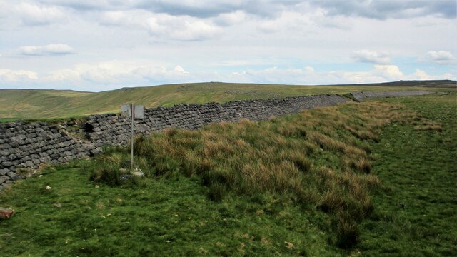
Longfield Wood is a picturesque woodland located in Yorkshire, England. Spread across a vast area, it is situated in a rural setting, surrounded by rolling hills and meadows. The wood is renowned for its natural beauty and serves as a haven for flora and fauna.
The woodland is predominantly composed of deciduous trees, such as oak, beech, and birch, which create a lush canopy overhead. The forest floor is covered in a thick layer of moss, ferns, and wildflowers, adding to the enchanting atmosphere. Longfield Wood is particularly captivating during spring, when the forest comes alive with vibrant colors as the flowers bloom.
The wood is home to a wide range of wildlife. Bird enthusiasts can spot various species, including woodpeckers, owls, and thrushes, while small mammals like squirrels, foxes, and badgers are also commonly seen. Additionally, Longfield Wood is known for its diverse insect population, with butterflies and dragonflies flitting among the trees.
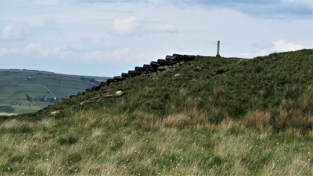
Visitors to Longfield Wood can enjoy a tranquil walk along the numerous paths that wind through the forest. The peaceful ambiance and stunning scenery make it an ideal location for nature lovers, hikers, and photographers. The wood is also a popular spot for picnics and family outings, with designated areas for relaxation and recreation.
Longfield Wood is a cherished natural treasure in Yorkshire, offering a serene escape from the hustle and bustle of everyday life. Its timeless beauty and abundant wildlife make it a must-visit destination for those seeking a connection with nature.
If you have any feedback on the listing, please let us know in the comments section below.
Longfield Wood Images
Images are sourced within 2km of 53.711776/-2.0882307 or Grid Reference SD9423. Thanks to Geograph Open Source API. All images are credited.


Longfield Wood is located at Grid Ref: SD9423 (Lat: 53.711776, Lng: -2.0882307)
Division: West Riding
Unitary Authority: Calderdale
Police Authority: West Yorkshire
What 3 Words
///rags.forkful.monkey. Near Todmorden, West Yorkshire
Nearby Locations
Related Wikis

Todmorden
Todmorden ( TOD-mər-dən; locally ) is a market town and civil parish in the Upper Calder Valley in Calderdale, West Yorkshire, England. It is 17 miles...

Todmorden Markets
Todmorden Markets consist of an indoor market held in the Public Market Hall and an outdoor open air market held to the front of the Public Market Hall...

Todmorden Town Hall
Todmorden Town Hall is a municipal building in Halifax Road, Todmorden, West Yorkshire, England. The town hall, which is the meeting place of Todmorden...

Todmorden bus station
Todmorden bus station serves the town of Todmorden, West Yorkshire, England. The bus station is owned and managed by West Yorkshire Metro and was opened...

Todmorden Unitarian Church
Todmorden Unitarian Church is a Unitarian church located in Honey Hole Road, Todmorden, West Yorkshire, England (grid reference SD935239). Built in honour...

Todmorden railway station
Todmorden railway station serves the town of Todmorden in West Yorkshire, England, originally on the Yorkshire and Lancashire border. It was built by the...

Stansfield Hall railway station
Stansfield Hall railway station (English: ) was the second station in Stansfield, Todmorden in West Yorkshire, England and was situated on the Copy Pit...
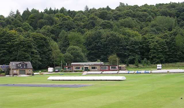
Todmorden Cricket Club
Todmorden Cricket Club is a cricket club in the Lancashire League, which plays its home games at Centre Vale in Todmorden, West Yorkshire. Until the administrative...
Nearby Amenities
Located within 500m of 53.711776,-2.0882307Have you been to Longfield Wood?
Leave your review of Longfield Wood below (or comments, questions and feedback).