Ardoyne

Settlement in Aberdeenshire

Scotland

Ardoyne

Over the fields Up towards a small wooded area from a layby
Over the fields Credit: Ralph Greig

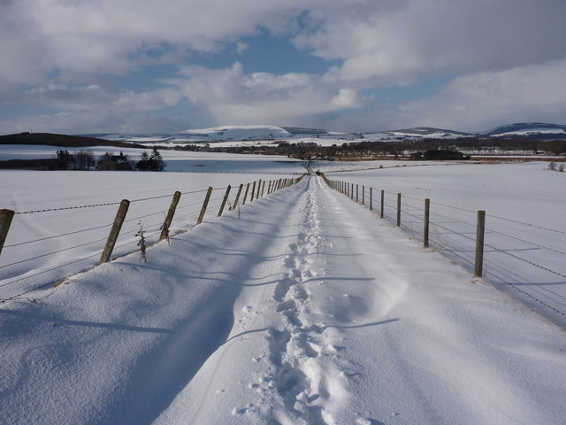
Ardoyne is a small village located in the picturesque region of Aberdeenshire, Scotland. Situated in the northeastern part of the country, Ardoyne is surrounded by beautiful rolling hills and lush green landscapes. The village is known for its peaceful and serene atmosphere, attracting visitors looking to escape the hustle and bustle of city life.

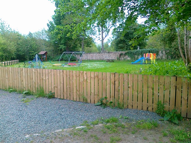
With a population of around 300 residents, Ardoyne is a close-knit community that prides itself on its strong sense of community spirit. The village is centered around a charming main street, lined with traditional stone buildings and quaint shops. The local pub, The Ardoyne Arms, serves as a popular gathering spot for both locals and tourists alike, offering a warm and friendly atmosphere.

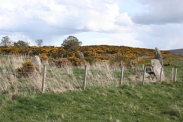
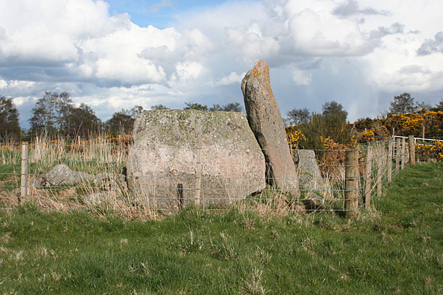
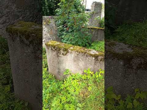
Ardoyne is also renowned for its rich history and cultural heritage. The village is home to several historical landmarks, including the Ardoyne Castle, a 16th-century fortress that has been impeccably preserved. Visitors can explore the castle's stunning architecture and learn about its intriguing past through guided tours.

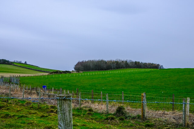
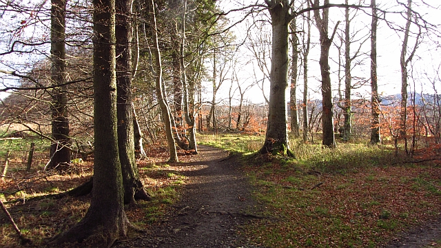
Nature enthusiasts will find plenty to enjoy in Ardoyne, as the village is surrounded by breathtaking natural beauty. The nearby Ardoyne Forest offers picturesque walking trails, allowing visitors to immerse themselves in the tranquility of the Scottish countryside.

In summary, Ardoyne is a charming village in Aberdeenshire that offers a perfect blend of history, natural beauty, and a strong sense of community. Whether you are looking for a peaceful getaway or a chance to explore Scotland's rich heritage, Ardoyne is a destination that will not disappoint.

If you have any feedback on the listing, please let us know in the comments section below.
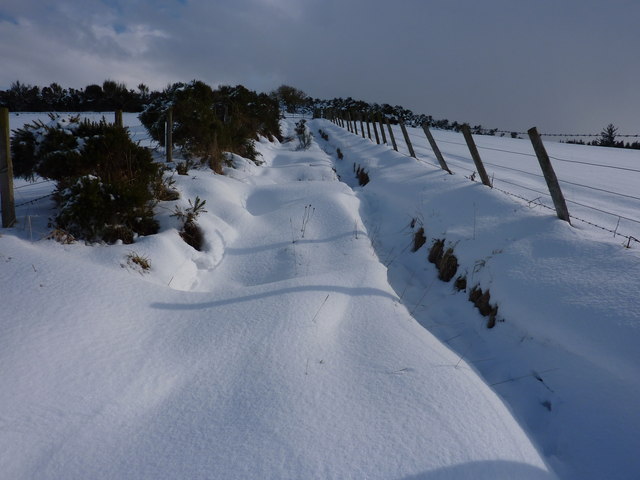
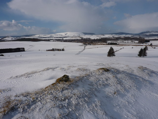
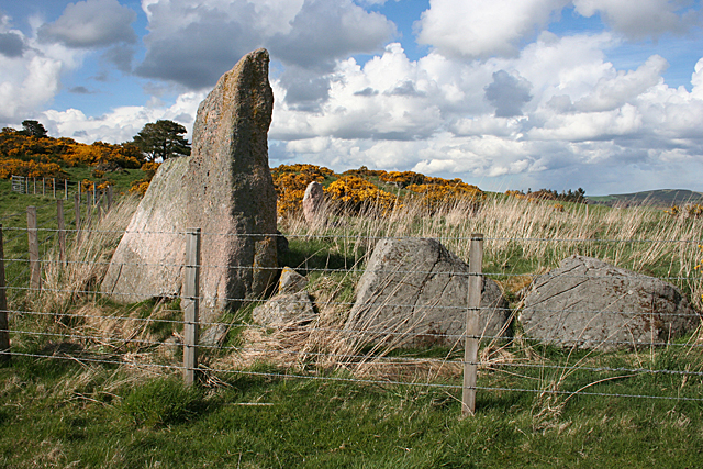
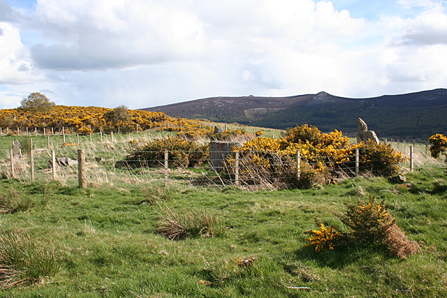
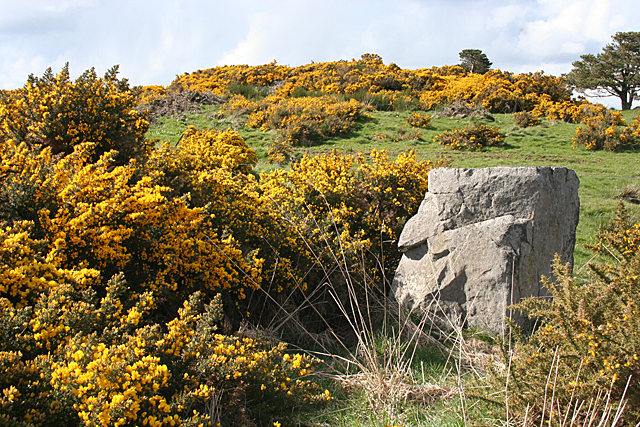
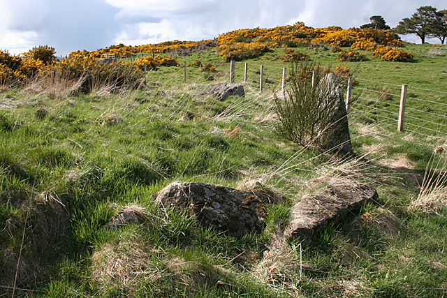
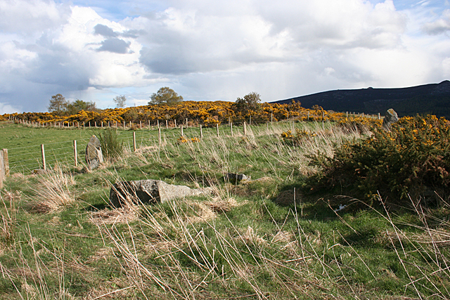
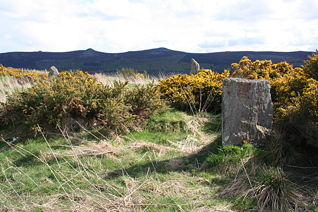
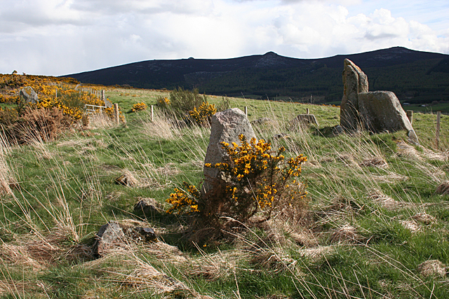
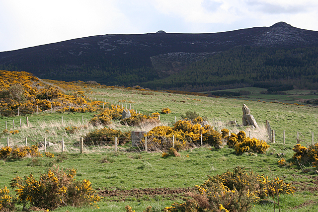
Ardoyne Images

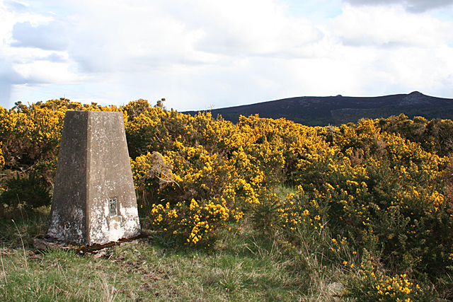
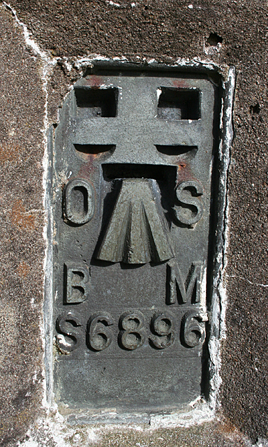
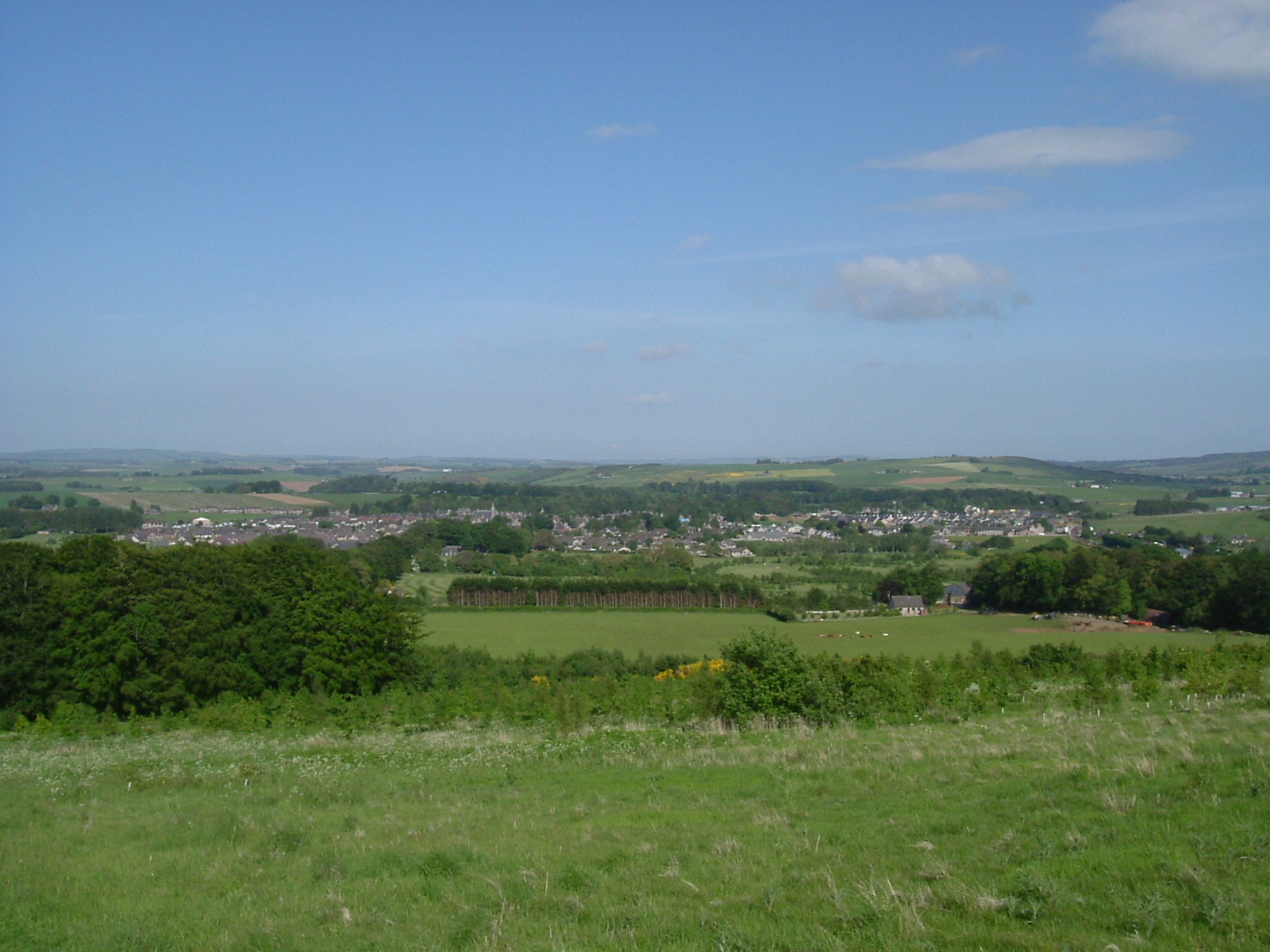
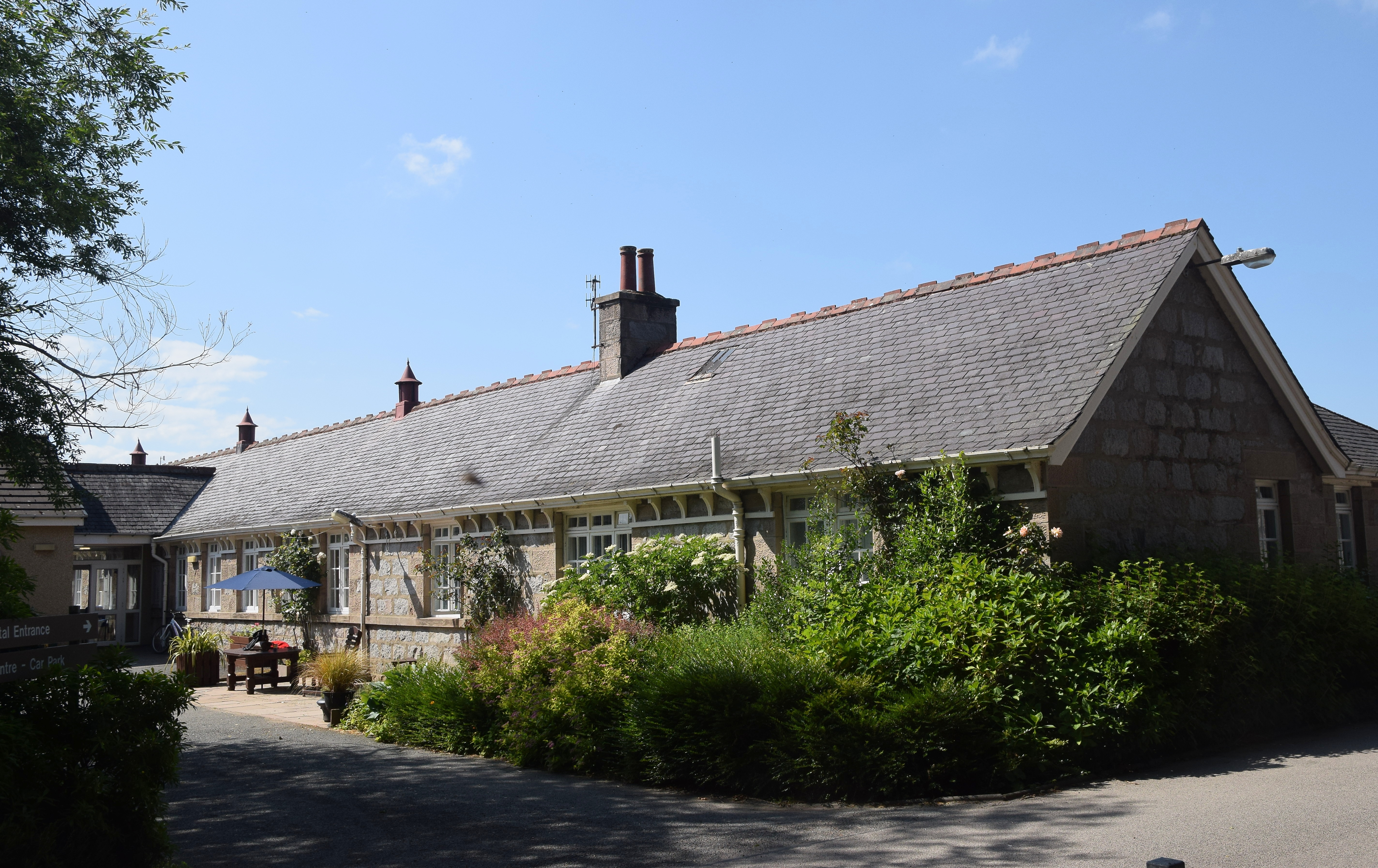
Images are sourced within 2km of 57.33218/-2.5829732 or Grid Reference NJ6527. Thanks to Geograph Open Source API. All images are credited.

Over the fields Up towards a small wooded area from a layby
Over the fields
Up towards a small wooded area from a layby
Strip wood, Insch One of the strip woods associated with Drumrossie House. Now on the edge of Insch.
Strip wood, Insch
One of the strip woods associated with Drumrossie House. Now on the edge of Insch.
Play Area, Insch
Play Area, Insch
Looking down the snowy track Mains of Overhall Farm on the left, Insch village in the distance
Looking down the snowy track
Mains of Overhall Farm on the left, Insch village in the distance
Looking up the snowy track And yes I carried on. To get to the top of the hill it is best to go round the back and then it is an easy hike up. You will also find a path heading straight on that takes you down to join the road at Kirkton.
Looking up the snowy track
And yes I carried on. To get to the top of the hill it is best to go round the back and then it is an easy hike up. You will also find a path heading straight on that takes you down to join the road at Kirkton.
The top of the Hill of Netherhall, 203m above sea level Nearly bare of snow, as it has blown down into the hollows. Insch in the distance. On the skyline in the extreme left is Dunnideer with its ruin.
The top of the Hill of Netherhall, 203m above sea level
Nearly bare of snow, as it has blown down into the hollows. Insch in the distance. On the skyline in the extreme left is Dunnideer with its ruin.
Hatton of Ardoyne Recumbent Stone Circle (1) The circle is in an enclosure between Candle Hill and Roup Hill. Nine of the stones survive, but they are rather hemmed in by the fence, and becoming overgrown with grass and whins. See <span class="nowrap"><a title="http://canmore.rcahms.gov.uk/en/site/18125/details/hatton+of+ardoyne/" rel="nofollow ugc noopener" href="http://canmore.rcahms.gov.uk/en/site/18125/details/hatton+of+ardoyne/">Link</a><img style="margin-left:2px;" alt="External link" title="External link - shift click to open in new window" src="https://s1.geograph.org.uk/img/external.png" width="10" height="10"/></span> for a full description. <a href="https://www.geograph.org.uk/photo/4452825">NJ6526 : Hatton of Ardoyne Recumbent Stone Circle (2)</a>
Hatton of Ardoyne Recumbent Stone Circle (1)
The circle is in an enclosure between Candle Hill and Roup Hill. Nine of the stones survive, but they are rather hemmed in by the fence, and becoming overgrown with grass and whins. See LinkExternal link for a full description. NJ6526 : Hatton of Ardoyne Recumbent Stone Circle (2)
Hatton of Ardoyne Recumbent Stone Circle (2) The recumbent and one flanker are two of the nine main stones still surviving. There are also several kerb stones, some of which are to either side of the two main stones. See <span class="nowrap"><a title="http://canmore.rcahms.gov.uk/en/site/18125/details/hatton+of+ardoyne/" rel="nofollow ugc noopener" href="http://canmore.rcahms.gov.uk/en/site/18125/details/hatton+of+ardoyne/">Link</a><img style="margin-left:2px;" alt="External link" title="External link - shift click to open in new window" src="https://s1.geograph.org.uk/img/external.png" width="10" height="10"/></span> for a full description. <a href="https://www.geograph.org.uk/photo/4452834">NJ6526 : Hatton of Ardoyne Recumbent Stone Circle (3)</a>
Hatton of Ardoyne Recumbent Stone Circle (2)
The recumbent and one flanker are two of the nine main stones still surviving. There are also several kerb stones, some of which are to either side of the two main stones. See LinkExternal link for a full description. NJ6526 : Hatton of Ardoyne Recumbent Stone Circle (3)
Hatton of Ardoyne Recumbent Stone Circle (3) On the left is the flanker, with the recumbent behind it. The stones in the foreground may be part of a kerb. One of the other stones still standing is in front of the nearest whin bushes.  See <span class="nowrap"><a title="http://canmore.rcahms.gov.uk/en/site/18125/details/hatton+of+ardoyne/" rel="nofollow ugc noopener" href="http://canmore.rcahms.gov.uk/en/site/18125/details/hatton+of+ardoyne/">Link</a><img style="margin-left:2px;" alt="External link" title="External link - shift click to open in new window" src="https://s1.geograph.org.uk/img/external.png" width="10" height="10"/></span> for a full description. <a href="https://www.geograph.org.uk/photo/4452845">NJ6526 : Hatton of Ardoyne Recumbent Stone Circle (4)</a>
Hatton of Ardoyne Recumbent Stone Circle (3)
On the left is the flanker, with the recumbent behind it. The stones in the foreground may be part of a kerb. One of the other stones still standing is in front of the nearest whin bushes. See LinkExternal link for a full description. NJ6526 : Hatton of Ardoyne Recumbent Stone Circle (4)
Hatton of Ardoyne Recumbent Stone Circle (4) Looking in from outside the circle. The tallest stone, the flanker is to the right, with the recumbent beside it. Just inside the fence is one of the other stones still standing, and further to the left is a fallen stone. The tip of another standing stone can be seen above the nearest standing stone. <a href="https://www.geograph.org.uk/photo/4452850">NJ6526 : Hatton of Ardoyne Recumbent Stone Circle (5)</a>
Hatton of Ardoyne Recumbent Stone Circle (4)
Looking in from outside the circle. The tallest stone, the flanker is to the right, with the recumbent beside it. Just inside the fence is one of the other stones still standing, and further to the left is a fallen stone. The tip of another standing stone can be seen above the nearest standing stone. NJ6526 : Hatton of Ardoyne Recumbent Stone Circle (5)
Hatton of Ardoyne Recumbent Stone Circle (5) This is the reciprocal of <a href="https://www.geograph.org.uk/photo/4452845">NJ6526 : Hatton of Ardoyne Recumbent Stone Circle (4)</a>, showing the other side of the stone nearest to the north of the circle.  See <span class="nowrap"><a title="http://canmore.rcahms.gov.uk/en/site/18125/details/hatton+of+ardoyne/" rel="nofollow ugc noopener" href="http://canmore.rcahms.gov.uk/en/site/18125/details/hatton+of+ardoyne/">Link</a><img style="margin-left:2px;" alt="External link" title="External link - shift click to open in new window" src="https://s1.geograph.org.uk/img/external.png" width="10" height="10"/></span> for a full description. <a href="https://www.geograph.org.uk/photo/4452851">NJ6626 : Hatton of Ardoyne Recumbent Stone Circle (6)</a>
Hatton of Ardoyne Recumbent Stone Circle (5)
This is the reciprocal of NJ6526 : Hatton of Ardoyne Recumbent Stone Circle (4), showing the other side of the stone nearest to the north of the circle. See LinkExternal link for a full description. NJ6626 : Hatton of Ardoyne Recumbent Stone Circle (6)
Hatton of Ardoyne Recumbent Stone Circle (6) These are the stones on the east side of the circle. One still stands but the rest have fallen over.  See <span class="nowrap"><a title="http://canmore.rcahms.gov.uk/en/site/18125/details/hatton+of+ardoyne/" rel="nofollow ugc noopener" href="http://canmore.rcahms.gov.uk/en/site/18125/details/hatton+of+ardoyne/">Link</a><img style="margin-left:2px;" alt="External link" title="External link - shift click to open in new window" src="https://s1.geograph.org.uk/img/external.png" width="10" height="10"/></span> for a full description. <a href="https://www.geograph.org.uk/photo/4452858">NJ6526 : Hatton of Ardoyne Recumbent Stone Circle (7)</a>
Hatton of Ardoyne Recumbent Stone Circle (6)
These are the stones on the east side of the circle. One still stands but the rest have fallen over. See LinkExternal link for a full description. NJ6526 : Hatton of Ardoyne Recumbent Stone Circle (7)
Hatton of Ardoyne Recumbent Stone Circle (7) The north-east arc of the circle, with one standing and at least one fallen stone. Another standing one is to the right, and the east end of Bennachie is on the skyline.  See <span class="nowrap"><a title="http://canmore.rcahms.gov.uk/en/site/18125/details/hatton+of+ardoyne/" rel="nofollow ugc noopener" href="http://canmore.rcahms.gov.uk/en/site/18125/details/hatton+of+ardoyne/">Link</a><img style="margin-left:2px;" alt="External link" title="External link - shift click to open in new window" src="https://s1.geograph.org.uk/img/external.png" width="10" height="10"/></span> for a full description. <a href="https://www.geograph.org.uk/photo/4452865">NJ6526 : Hatton of Ardoyne Recumbent Stone Circle (8)</a>
Hatton of Ardoyne Recumbent Stone Circle (7)
The north-east arc of the circle, with one standing and at least one fallen stone. Another standing one is to the right, and the east end of Bennachie is on the skyline. See LinkExternal link for a full description. NJ6526 : Hatton of Ardoyne Recumbent Stone Circle (8)
Hatton of Ardoyne Recumbent Stone Circle (8) Just to the right of <a href="https://www.geograph.org.uk/photo/4452858">NJ6526 : Hatton of Ardoyne Recumbent Stone Circle (7)</a>, with the same standing stone at the far side of the circle, the flanker to the right, and another standing stone in the foreground. Bennachie is on the skyline. <a href="https://www.geograph.org.uk/photo/4452868">NJ6526 : Hatton of Ardoyne Recumbent Stone Circle (9)</a>
Hatton of Ardoyne Recumbent Stone Circle (8)
Just to the right of NJ6526 : Hatton of Ardoyne Recumbent Stone Circle (7), with the same standing stone at the far side of the circle, the flanker to the right, and another standing stone in the foreground. Bennachie is on the skyline. NJ6526 : Hatton of Ardoyne Recumbent Stone Circle (9)
Hatton of Ardoyne Recumbent Stone Circle (9) A small standing stone is in the foreground, and a larger one on the far side of the circle is at left. The flanker and recumbent are on the right, and several kerb stones are visible in the grass. On the skyline is Bennachie.  See <span class="nowrap"><a title="http://canmore.rcahms.gov.uk/en/site/18125/details/hatton+of+ardoyne/" rel="nofollow ugc noopener" href="http://canmore.rcahms.gov.uk/en/site/18125/details/hatton+of+ardoyne/">Link</a><img style="margin-left:2px;" alt="External link" title="External link - shift click to open in new window" src="https://s1.geograph.org.uk/img/external.png" width="10" height="10"/></span> for a full description. <a href="https://www.geograph.org.uk/photo/4452873">NJ6526 : Hatton of Ardoyne Recumbent Stone Circle (10)</a>
Hatton of Ardoyne Recumbent Stone Circle (9)
A small standing stone is in the foreground, and a larger one on the far side of the circle is at left. The flanker and recumbent are on the right, and several kerb stones are visible in the grass. On the skyline is Bennachie. See LinkExternal link for a full description. NJ6526 : Hatton of Ardoyne Recumbent Stone Circle (10)
Hatton of Ardoyne Recumbent Stone Circle (10) Looking down on the circle from part way up Roup Hill. The flanker and recumbent are prominent on the right, but the rest of the stones are partly hidden by whins and other vegetation. Candle Hill is to the left and on the skyline is Bennachie.  See <span class="nowrap"><a title="http://canmore.rcahms.gov.uk/en/site/18125/details/hatton+of+ardoyne/" rel="nofollow ugc noopener" href="http://canmore.rcahms.gov.uk/en/site/18125/details/hatton+of+ardoyne/">Link</a><img style="margin-left:2px;" alt="External link" title="External link - shift click to open in new window" src="https://s1.geograph.org.uk/img/external.png" width="10" height="10"/></span> for a full description. <a href="https://www.geograph.org.uk/photo/4452821">NJ6526 : Hatton of Ardoyne Recumbent Stone Circle (1)</a>
Hatton of Ardoyne Recumbent Stone Circle (10)
Looking down on the circle from part way up Roup Hill. The flanker and recumbent are prominent on the right, but the rest of the stones are partly hidden by whins and other vegetation. Candle Hill is to the left and on the skyline is Bennachie. See LinkExternal link for a full description. NJ6526 : Hatton of Ardoyne Recumbent Stone Circle (1)
Triangulation Pillar Not quite engulfed by the whins on Roup Hill. Yet. See also <a href="https://www.geograph.org.uk/photo/4452889">NJ6526 : Bracket on Trig Point</a>.
Triangulation Pillar
Not quite engulfed by the whins on Roup Hill. Yet. See also NJ6526 : Bracket on Trig Point.
Bracket on Trig Point Ordnance Survey Bench Mark S6896. Set into the face of <a href="https://www.geograph.org.uk/photo/4452884">NJ6526 : Triangulation Pillar</a>.
Bracket on Trig Point
Ordnance Survey Bench Mark S6896. Set into the face of NJ6526 : Triangulation Pillar.
Show me another place!

Ardoyne is located at Grid Ref: NJ6527 (Lat: 57.33218, Lng: -2.5829732)

Unitary Authority: Aberdeenshire

Police Authority: North East

What 3 Words

///warmers.nosedive.coach. Near Insch, Aberdeenshire

Nearby Locations

Ardoyne

Related Wikis

Related Videos

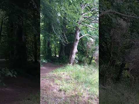
A little stream in the Scottish Countryside Short Film

Let's take a little walk in nature and hear the rushing water!

Insch Mill Stream Short Film

Here is the peace of a rushing Mill stream in Insch Village near Aberdeen. Wild flowers and summer days....

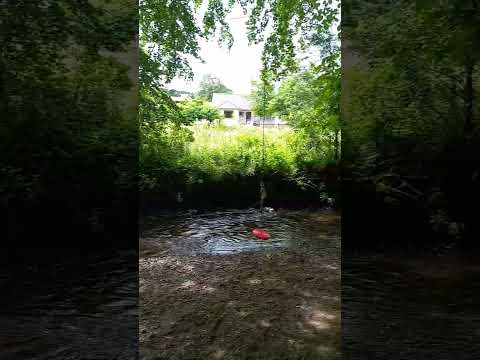
Forest and red swing over stream

A beautiful stream in the Scottish countryside beside a forest - the rushing water was so soothing.

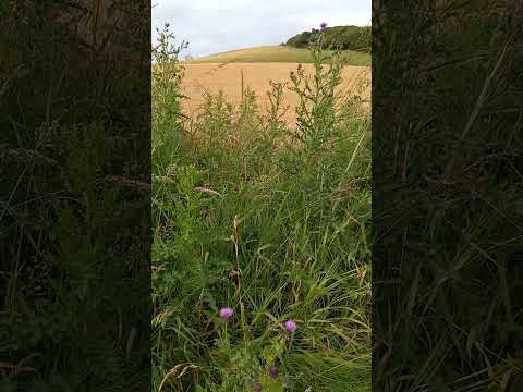
Countryside fields in Scotland

Some beautiful fields in Scotland in July.

Nearby Amenities

Located within 500m of 57.33218,-2.5829732
Power: pole
Lat/Long: 57.3366326/-2.5836727
Power: pole
Lat/Long: 57.3359595/-2.5826079
Power: pole
Lat/Long: 57.3352661/-2.5814679
Power: pole
Lat/Long: 57.3345958/-2.5804272
Power: pole
Lat/Long: 57.3339559/-2.5793731
Power: pole
Lat/Long: 57.3333001/-2.5783002
Power: pole
Lat/Long: 57.3325835/-2.577163
Power: pole
Lat/Long: 57.3319016/-2.5760928
Power: pole
Lat/Long: 57.3312182/-2.5749502
Power: pole
Lat/Long: 57.3308775/-2.5909377
Power: pole
Lat/Long: 57.3305932/-2.5899898
Power: pole
Lat/Long: 57.330309/-2.5890284
Power: pole
Lat/Long: 57.3300574/-2.5881545
Power: pole
Lat/Long: 57.3297344/-2.5870452
Power: pole
Lat/Long: 57.3294344/-2.5860524
Power: pole
Lat/Long: 57.3291029/-2.5849275
Power: pole
Lat/Long: 57.328815/-2.5839863
Power: pole
Lat/Long: 57.3285428/-2.5830384
Power: pole
Lat/Long: 57.3281509/-2.5817229
Power: pole
Lat/Long: 57.3308061/-2.5890934
Power: pole
Lat/Long: 57.3313057/-2.5891495
Power: pole
Lat/Long: 57.3277979/-2.5832679
Power: pole
Lat/Long: 57.3282235/-2.5829196
Power: pole
Lat/Long: 57.3286638/-2.5825812
Power: pole
Lat/Long: 57.3295059/-2.5819335
Power: pole
Lat/Long: 57.3300816/-2.580896
Power: pole
Lat/Long: 57.3303852/-2.580338
Power: pole
Lat/Long: 57.3308485/-2.5794394
Power: pole
Lat/Long: 57.3311993/-2.5787514
Power: pole
Lat/Long: 57.3357817/-2.5867752
Power: pole
Lat/Long: 57.3361626/-2.586318
The data included in this document is from www.openstreetmap.org. The data is made available under ODbL.

Have you been to Ardoyne?

Leave your review of Ardoyne below (or comments, questions and feedback).