Romer Spinneys

Wood, Forest in Staffordshire Stafford

England

Romer Spinneys

Pasture south-east of Stone in Staffordshire Looking north from the Trent and Mersey Canal south-east of Carr House Bridge, No 89.
The A51 road (between Stone and Rugeley) is behind the hedge where the blue lorry is parked.
Pasture south-east of Stone in Staffordshire Credit: Roger Kidd

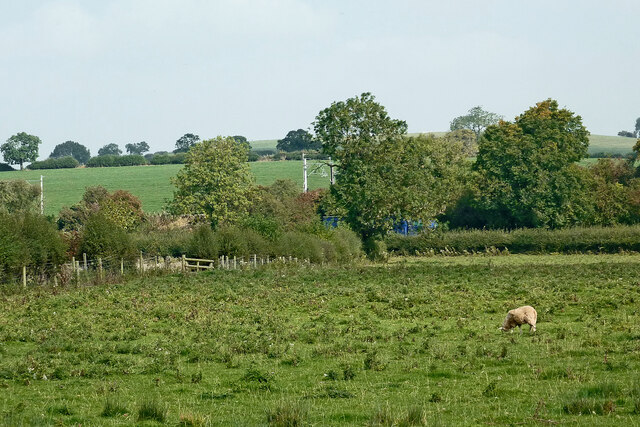
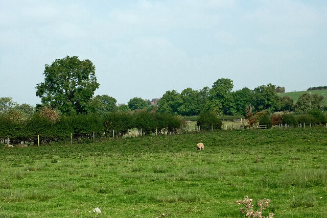
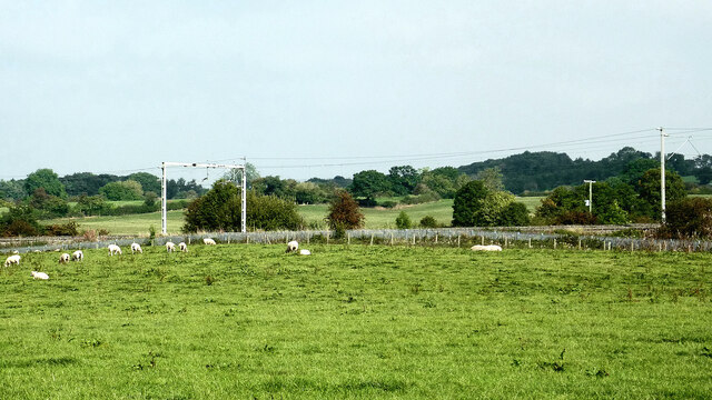
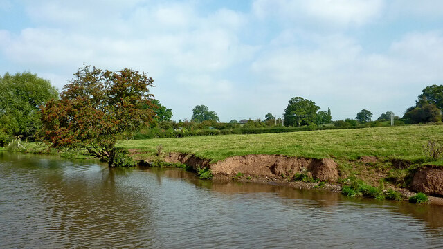
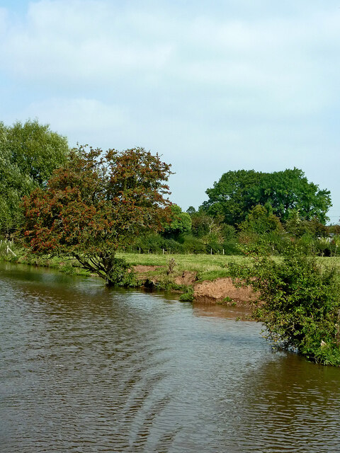
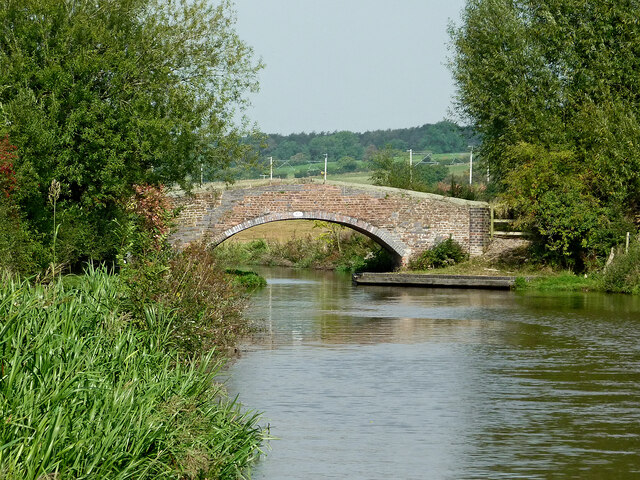
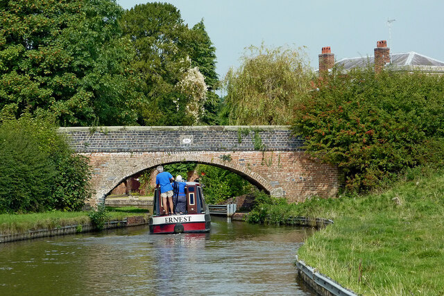
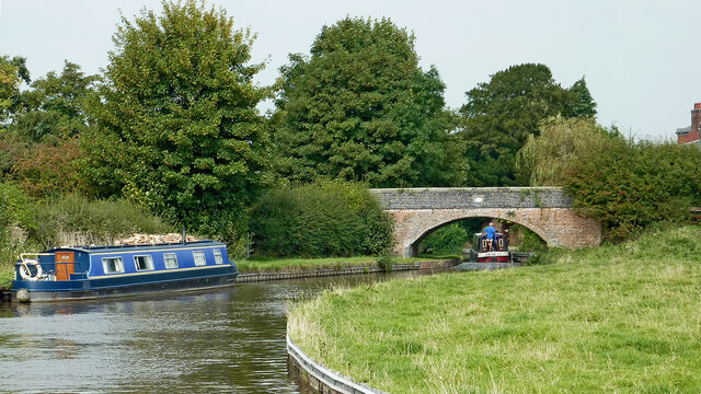
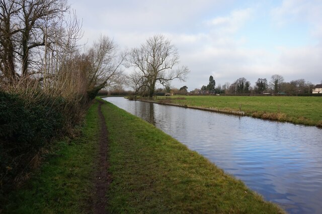
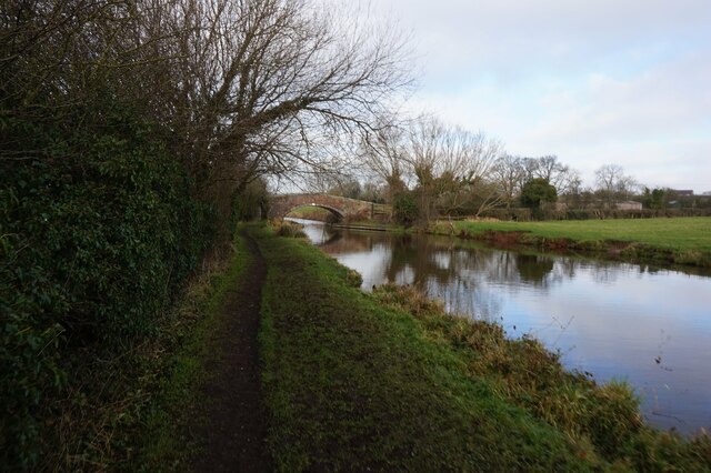
Romer Spinneys is a small woodland area located in Staffordshire, England. Covering approximately 20 acres, it is nestled within the picturesque countryside and is known for its abundant variety of trees and wildlife.

The woodland is primarily composed of indigenous broadleaf species such as oak, ash, and beech, which create a dense and vibrant canopy, providing ample shade and shelter for the diverse range of flora and fauna found within the area. The forest floor is carpeted with a rich array of wildflowers, ferns, and mosses, adding to the natural beauty of the surroundings.

Romer Spinneys is a popular destination for nature enthusiasts, hikers, and birdwatchers alike. The woodland is home to a multitude of bird species, including woodpeckers, owls, and various songbirds, making it a haven for birdwatching enthusiasts. Additionally, the forest provides a habitat for mammals such as deer, foxes, and squirrels, which can often be spotted roaming among the trees.

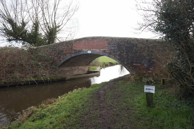
The woodland is crisscrossed with well-maintained footpaths and trails, allowing visitors to explore and immerse themselves in the serene and tranquil atmosphere. Romer Spinneys also offers picnic areas and benches, providing visitors with the opportunity to relax and enjoy the natural surroundings.

Managed by the local authorities, Romer Spinneys is known for its commitment to preserving and protecting the natural environment. Conservation efforts include tree planting initiatives, removal of invasive species, and regular maintenance of the footpaths to ensure the woodland remains accessible and enjoyable for all.

Overall, Romer Spinneys in Staffordshire is a hidden gem for nature lovers, offering a peaceful and enchanting escape into the heart of the woodlands.

If you have any feedback on the listing, please let us know in the comments section below.

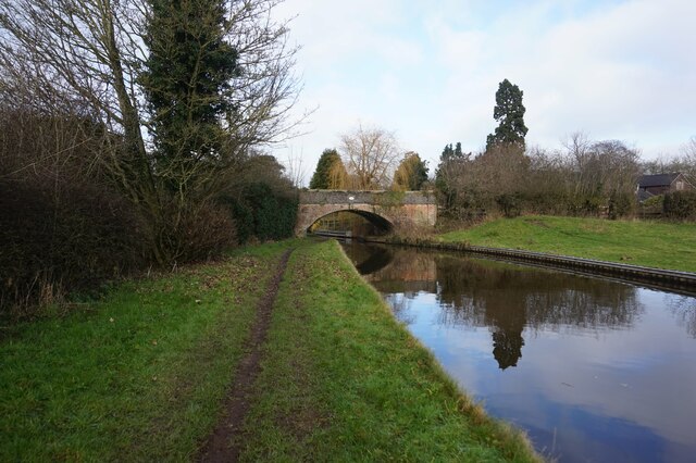
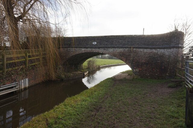
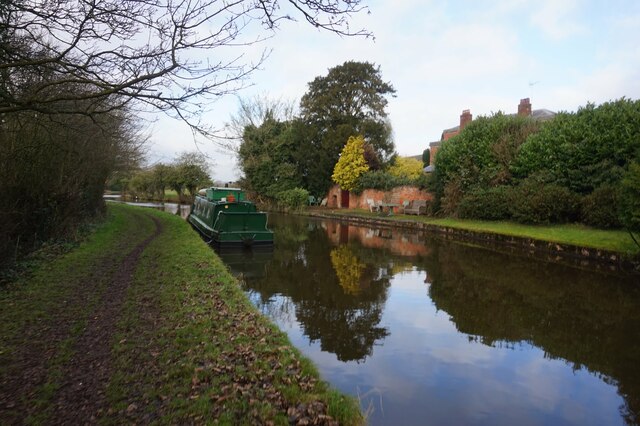
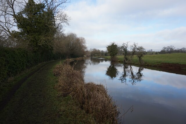
Romer Spinneys Images

Images are sourced within 2km of 52.87479/-2.0895634 or Grid Reference SJ9430. Thanks to Geograph Open Source API. All images are credited.

Pasture south-east of Stone in Staffordshire Looking north from the Trent and Mersey Canal south-east of Carr House Bridge, No 89.
The A51 road (between Stone and Rugeley) is behind the hedge where the blue lorry is parked.
Pasture south-east of Stone in Staffordshire
Looking north from the Trent and Mersey Canal south-east of Carr House Bridge, No 89. The A51 road (between Stone and Rugeley) is behind the hedge where the blue lorry is parked.
Pasture south-east of Stone in Staffordshire Looking north-north-west from the Trent and Mersey Canal south-east of Carr House Bridge, No 89.
Pasture south-east of Stone in Staffordshire
Looking north-north-west from the Trent and Mersey Canal south-east of Carr House Bridge, No 89.
Farmland and railway bridge near Aston-by-Stone This is the view looking north-north-east from the Trent and Mersey Canal east of Aston-by-Stone.
The bridge carries the West Coast Main Line (Trent Valley) over the A51 between Stoke-on-Trent and Rugeley.
A mobile phone transmitting mast is a more recent addition.
Farmland and railway bridge near Aston-by-Stone
This is the view looking north-north-east from the Trent and Mersey Canal east of Aston-by-Stone. The bridge carries the West Coast Main Line (Trent Valley) over the A51 between Stoke-on-Trent and Rugeley. A mobile phone transmitting mast is a more recent addition.
Staffordshire farmland north-west of Burston Looking north-east from the Trent and Mersey Canal near Iron Bridge, No 88.
The bridge carries the West Coast Main Line (Trent Valley) over a farm track near Carr House.
Staffordshire farmland north-west of Burston
Looking north-east from the Trent and Mersey Canal near Iron Bridge, No 88. The bridge carries the West Coast Main Line (Trent Valley) over a farm track near Carr House.
Staffordshire farmland north-west of Burston Looking north from the Trent and Mersey Canal south of Carr House.
Staffordshire farmland north-west of Burston
Looking north from the Trent and Mersey Canal south of Carr House.
Canalside pasture near Burston in Staffordshire Looking north-west near Iron Bridge, No 88, on the Trent and Mersey Canal.
The edge of the canal is eroded by thirsty grazing cattle.
Canalside pasture near Burston in Staffordshire
Looking north-west near Iron Bridge, No 88, on the Trent and Mersey Canal. The edge of the canal is eroded by thirsty grazing cattle.
Long Meadow Bridge near Burston in Staffordshire This is the Trent and Mersey Canal, looking north-north-west towards Long Meadow Bridge, No 87. It is an accommodation bridge with no public right of way across it or into adjacent fields.
Long Meadow Bridge near Burston in Staffordshire
This is the Trent and Mersey Canal, looking north-north-west towards Long Meadow Bridge, No 87. It is an accommodation bridge with no public right of way across it or into adjacent fields.
Upper Burston Bridge near Burston in Staffordshire Upper Burston Bridge is No 86 across the Trent and Mersey Canal. It is an accommodation bridge which also carries a public footpath (and the Two Saints Way).
Upper Burston Bridge near Burston in Staffordshire
Upper Burston Bridge is No 86 across the Trent and Mersey Canal. It is an accommodation bridge which also carries a public footpath (and the Two Saints Way).
Large house near Burston in Staffordshire This impressive residence is located at the end of Burston Lane, and seen here by looking north-east from the Trent and Mersey Canal.
Large house near Burston in Staffordshire
This impressive residence is located at the end of Burston Lane, and seen here by looking north-east from the Trent and Mersey Canal.
Canal at Upper Burston Bridge near Burston in Staffordshire Upper Burston Bridge is No 86 across the Trent and Mersey Canal. It is an accommodation bridge which also carries a public footpath (and the Two Saints Way).
Canal at Upper Burston Bridge near Burston in Staffordshire
Upper Burston Bridge is No 86 across the Trent and Mersey Canal. It is an accommodation bridge which also carries a public footpath (and the Two Saints Way).
Trent & Mersey Canal towards Bridge #86
Trent & Mersey Canal towards at #86
Trent & Mersey Canal at Bridge #86
Trent & Mersey Canal towards Bridge #87
Trent & Mersey Canal at Bridge #87
Show me another place!

Romer Spinneys is located at Grid Ref: SJ9430 (Lat: 52.87479, Lng: -2.0895634)

Administrative County: Staffordshire

District: Stafford

Police Authority: Staffordshire

What 3 Words

///decorated.tank.appetite. Near Stone, Staffordshire

Related Wikis

Sandon, Staffordshire

Sandon is a village in the civil parish of Sandon and Burston, in the Stafford district, in the county of Staffordshire, England. It is about 4.5 miles...

Sandon railway station

Sandon railway station was a railway station opened by the North Staffordshire Railway to serve the village of Sandon, Staffordshire, England. For some...

Sandon Hall

Sandon Hall is a 19th-century country mansion, the seat of the Earl of Harrowby, at Sandon, Staffordshire, 5 miles (8.0 km) northeast of Stafford. It is...

Aston-By-Stone

Aston-By-Stone is a village and civil parish in the Borough of Stafford in Staffordshire, England. It is close to the town of Stone and city of Stoke-on...

Aston-by-Stone railway station

Aston-by-Stone railway station is a disused railway station in the village of Aston, Staffordshire, England. == History == Opened by the North Staffordshire...

Yarlet School

Yarlet School, formerly Yarlet Hall, is a coeducational preparatory school located in the district of Yarlet, 3 miles (4.8 km) north of the county town...

Salt, Staffordshire

Salt is a village in the Borough of Stafford in Staffordshire, England. It is three miles northeast of Stafford situated half a mile southwest of the A51...

Milwich

Milwich is a village and a civil parish in the English county of Staffordshire. == Location == The village is 7.8 miles (12.6 km) north east of the town...

Have you been to Romer Spinneys?

Leave your review of Romer Spinneys below (or comments, questions and feedback).