Cross Hill

Settlement in Gloucestershire Forest of Dean

England

Cross Hill

Cliff by the River Wye
Cliff by the River Wye Credit: Row17

Cross Hill is a small village located in the county of Gloucestershire, England. Situated approximately 10 miles southwest of Gloucester, it is nestled in the picturesque countryside of the Cotswolds. The village is known for its charming and idyllic setting, with rolling hills, green pastures, and quaint stone cottages.

The community of Cross Hill is home to a population of around 500 residents. It is a close-knit and friendly village, where residents take pride in their surroundings and maintain a strong sense of community spirit. The village is served by a local primary school, which provides education for children up to the age of 11.

Although Cross Hill is a relatively small village, it offers a range of amenities for its residents. These include a local pub, a village hall that hosts various social events and gatherings, and a small convenience store for everyday needs. The village also benefits from good transport links, with regular bus services connecting it to nearby towns and villages.

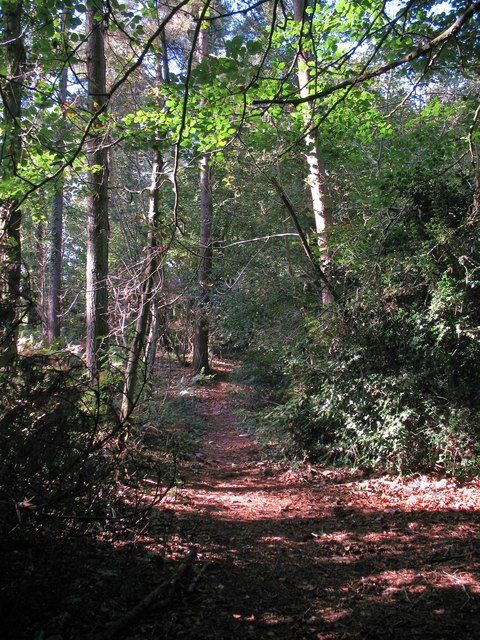
For outdoor enthusiasts, Cross Hill offers plenty of opportunities to explore the surrounding countryside. There are numerous walking and cycling trails that wind through the nearby fields and woodlands, providing stunning views of the Cotswolds' natural beauty.

In conclusion, Cross Hill is a charming and picturesque village in Gloucestershire, known for its beautiful countryside, tight-knit community, and range of amenities. It provides a tranquil and idyllic setting for those seeking a peaceful rural lifestyle.

If you have any feedback on the listing, please let us know in the comments section below.
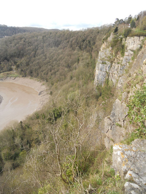
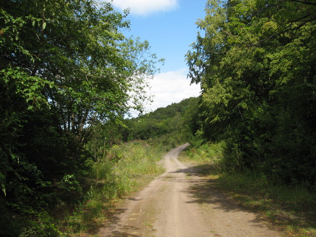
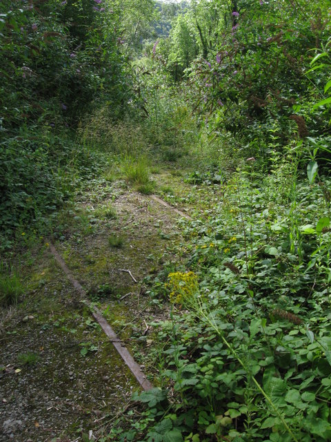
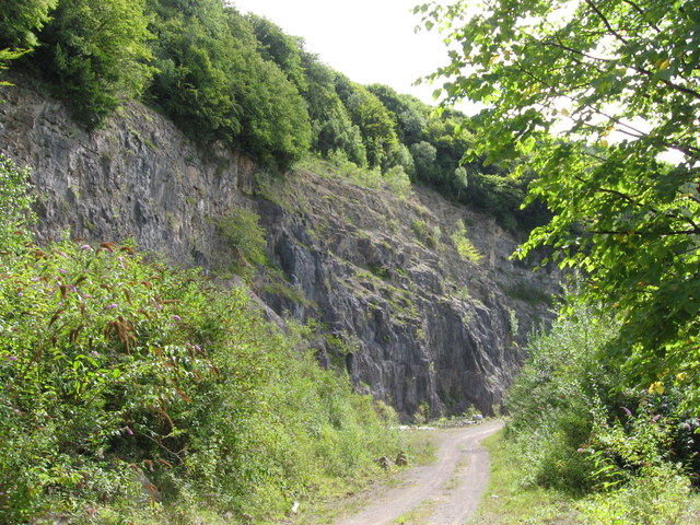
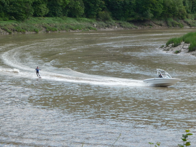
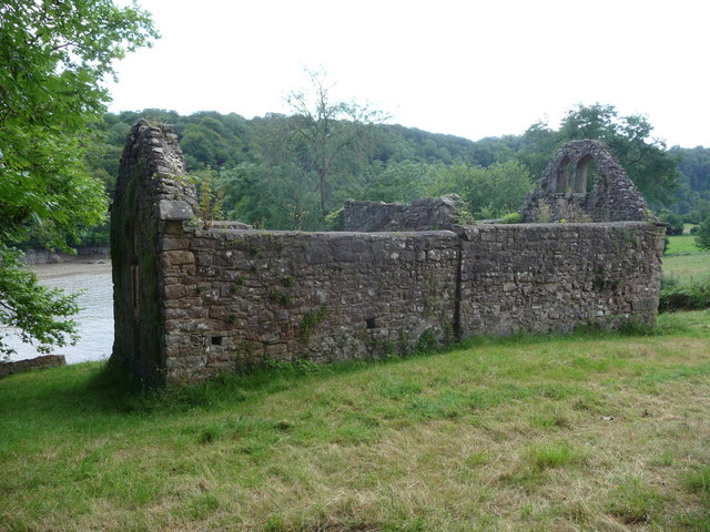
Cross Hill Images

Images are sourced within 2km of 51.66385/-2.643368 or Grid Reference ST5596. Thanks to Geograph Open Source API. All images are credited.

Cliff by the River Wye
Path near Tintern Quarry
Disused railway near Tintern Quarry The rails are still in place, though obviously have not seen a train for many years!
Disused railway near Tintern Quarry
The rails are still in place, though obviously have not seen a train for many years!
Part of Tintern Quarry
Path through Parson's Allotment Public footpath passing through mixed woodland.
Path through Parson's Allotment
Public footpath passing through mixed woodland.
Summer at Tutshill Offa's Dyke Path crosses the hay meadow here.
Summer at Tutshill
Offa's Dyke Path crosses the hay meadow here.
Path down to the nature reserve Walled on one side and railed in on the other.
Path down to the nature reserve
Walled on one side and railed in on the other.
Path descending towards the River Wye Buddleia prospers beside the path here.
Path descending towards the River Wye
Buddleia prospers beside the path here.
Rockfall below cliffs above the Wye A pretty impressive rockfall with large boulders tumbled down to the river bank.
Rockfall below cliffs above the Wye
A pretty impressive rockfall with large boulders tumbled down to the river bank.
View over the River Wye below Wintour's Leap The distinctive inlet is on the opposite bank.
View over the River Wye below Wintour's Leap
The distinctive inlet is on the opposite bank.
Looking down the River Wye below Wintour's Leap Someone has lit a small campfire here on the English bank.
Looking down the River Wye below Wintour's Leap
Someone has lit a small campfire here on the English bank.
Bend on the River Wye below Lancaut A boat speeds towards the turn.
Bend on the River Wye below Lancaut
A boat speeds towards the turn.
Bend on the River Wye near Lancaut A boat adds scale.
Bend on the River Wye near Lancaut
A boat adds scale.
Wake-boarding on the Wye at Llancaut Get him, cool dude.
Wake-boarding on the Wye at Llancaut
Get him, cool dude.
Ruined church at Lancaut The church dates to the 12th century and was abandoned in the 19th century.
Ruined church at Lancaut
The church dates to the 12th century and was abandoned in the 19th century.
Ruins of St. James' church at Lancaut The ruins are well maintained. The church may have served a medieval village or possibly a leper colony.
Ruins of St. James' church at Lancaut
The ruins are well maintained. The church may have served a medieval village or possibly a leper colony.
Old church ruins at Lancaut A peaceful spot beside the River Wye.
Old church ruins at Lancaut
A peaceful spot beside the River Wye.
View down to the Wye from Wintour's Leap The bend on the Wye here is a famous view and the boat adds scale.
View down to the Wye from Wintour's Leap
The bend on the Wye here is a famous view and the boat adds scale.
Show me another place!

Cross Hill is located at Grid Ref: ST5596 (Lat: 51.66385, Lng: -2.643368)

Administrative County: Gloucestershire

District: Forest of Dean

Police Authority: Gloucestershire

What 3 Words

///example.lanes.hunk. Near Chepstow, Monmouthshire

Nearby Locations

Cross Hill Tidenham

Related Wikis

Tidenham

Tidenham () is a village and civil parish in the Forest of Dean of west Gloucestershire, England, adjoining the Welsh border. Tidenham is bounded by the...

Church of St Mary and St Peter, Tidenham

The Church of St Mary and St Peter, Tidenham, is a parish church of the Diocese of Gloucester, England. It dates from the 13th and 14th centuries, and...

Netherhope Halt railway station

Netherhope Halt was a railway station on the former Wye Valley Railway. It was opened in 1932 and closed in 1959; it was demolished soon afterwards....

Boughspring

Boughspring is a hamlet in Gloucestershire, England. == History == Settlement at Boughspring dates back to Roman times when a villa was built nearby. Boughspring...

Nearby Amenities

Located within 500m of 51.66385,-2.643368
Tidenham
Is In: Gloucestershire, UK
Place: village
Lat/Long: 51.6607545/-2.6403781
Post Box
Brand: Royal Mail
Brand Wikidata: Q638098
Mapillary: 952418395900654
Operator: Royal Mail
Operator Wikidata: Q638098
Post Box Mounting: pier
Post Box Type: lamp
Survey Date: 2023-05-03
Lat/Long: 51.6630072/-2.6450301
The Wire
Disused Attraction: amusement_ride
Operator: NDAC
Lat/Long: 51.6615251/-2.6467174
Fear Fest-evil (Tales of the Dark)
Disused Attraction: amusement_ride
Lat/Long: 51.6616984/-2.6468532
The data included in this document is from www.openstreetmap.org. The data is made available under ODbL.

Have you been to Cross Hill?

Leave your review of Cross Hill below (or comments, questions and feedback).