The Shrubbery
Wood, Forest in Wiltshire
England
The Shrubbery
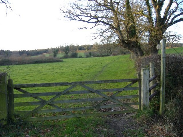
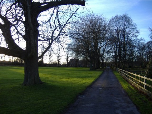
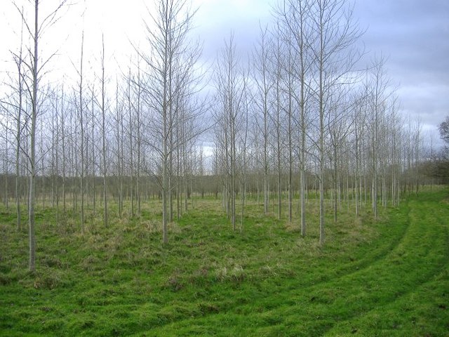
The Shrubbery is a picturesque woodland located in Wiltshire, England. Spanning across a significant area, it is known for its dense thicket of shrubs and trees, creating a serene and natural environment for visitors to explore.
The woodland is predominantly made up of broadleaf trees, such as oak, beech, and birch, which provide a lush canopy overhead. This creates a cool and shaded atmosphere, particularly inviting during the summer months. The forest floor is covered with a rich carpet of ferns, moss, and wildflowers, adding a vibrant burst of color to the landscape.
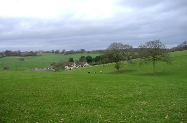
The Shrubbery is home to a diverse range of wildlife, with various species of birds, insects, and small mammals thriving in this natural habitat. Birdwatchers can spot a variety of species, including woodpeckers, thrushes, and owls, as they flit through the branches. The woodland also provides a haven for badgers, foxes, and deer, which can occasionally be seen grazing or foraging amidst the trees.
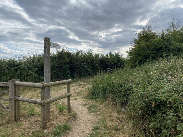
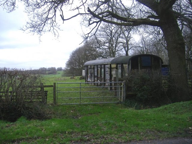
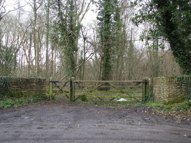
For outdoor enthusiasts, The Shrubbery offers numerous walking trails, allowing visitors to immerse themselves in the tranquil surroundings. These well-maintained paths wind through the forest, offering glimpses of hidden glades and babbling brooks along the way. The woodland also features picnic areas and benches, providing an ideal spot for relaxation and contemplation.
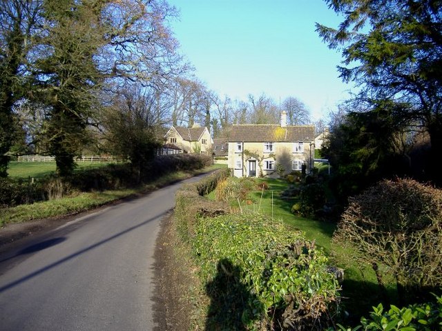
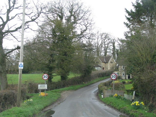
Located in close proximity to nearby villages and towns, The Shrubbery offers a peaceful retreat from the hustle and bustle of everyday life. Its natural beauty and abundant wildlife make it a popular destination for nature lovers, hikers, and photographers alike. Whether seeking solitude or adventure, The Shrubbery is a truly enchanting woodland to explore.
If you have any feedback on the listing, please let us know in the comments section below.
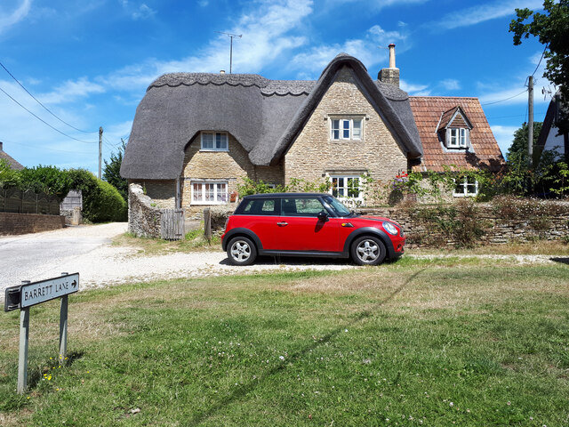
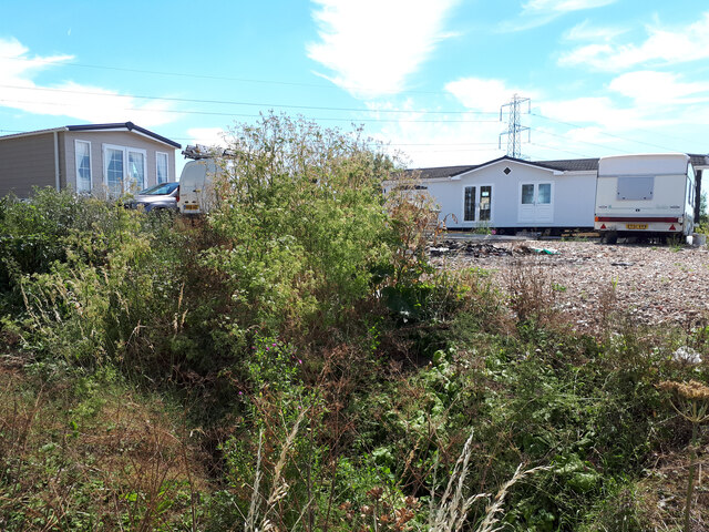
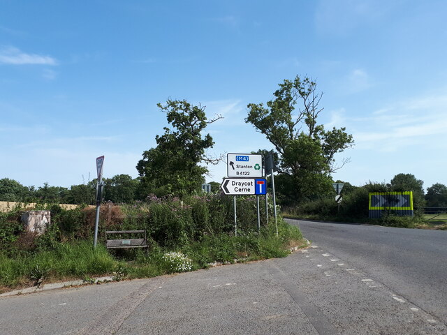
The Shrubbery Images
Images are sourced within 2km of 51.507899/-2.0882477 or Grid Reference ST9378. Thanks to Geograph Open Source API. All images are credited.


The Shrubbery is located at Grid Ref: ST9378 (Lat: 51.507899, Lng: -2.0882477)
Unitary Authority: Wiltshire
Police Authority: Wiltshire
What 3 Words
///delighted.siesta.yoga. Near Sutton Benger, Wiltshire
Nearby Locations
Related Wikis

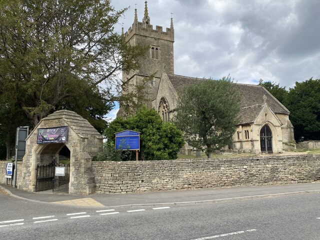
St James's Church, Draycot Cerne
St James's Church in Draycot Cerne, Sutton Benger, Wiltshire, England was built between 1260 and 1280. It is recorded in the National Heritage List for...
Draycot Cerne
Draycot Cerne (Draycott) is a small village and former civil parish, now in the parish of Sutton Benger, in Wiltshire, England, about 3 miles (5 km) north...

Sutton Benger
Sutton Benger is a village and civil parish in the county of Wiltshire, England, 5 miles (8.0 km) northeast of the town of Chippenham. The parish includes...

Sutton Lane Meadows
Sutton Lane Meadows (grid reference ST946777) is a 3.44 hectare biological Site of Special Scientific Interest in Wiltshire, notified in 1988. == Sources... ==
Seagry
Seagry is a civil parish in Wiltshire, England, about 4.5 miles (7.2 km) southeast of Malmesbury and 5.5 miles (8.9 km) northeast of Chippenham. Its main...

Kington Langley
Kington Langley is a village and civil parish about 2 miles (3.2 km) north of Chippenham in Wiltshire, England. The parish includes the hamlet of Bowldown...
Stanton St. Quintin Quarry and Motorway Cutting
Stanton St. Quintin Quarry & Motorway Cutting (grid reference ST918796) is a 2.2 hectare geological Site of Special Scientific Interest southeast of Stanton...

Christian Malford
Christian Malford is a village and civil parish in the county of Wiltshire, England. The village lies about 4+1⁄2 miles (7 km) northeast of the town of...
Nearby Amenities
Located within 500m of 51.507899,-2.0882477Have you been to The Shrubbery?
Leave your review of The Shrubbery below (or comments, questions and feedback).