Fullmoor Wood

Wood, Forest in Staffordshire South Staffordshire

England

Fullmoor Wood

Canal cruising south of Penkridge in Staffordshire This is the Staffordshire and Worcestershire Canal at the southern edge of Penkridge, looking south-east as the canal meanders towards Wolverhampton and Stourport.
Canal cruising south of Penkridge in Staffordshire Credit: Roger Kidd

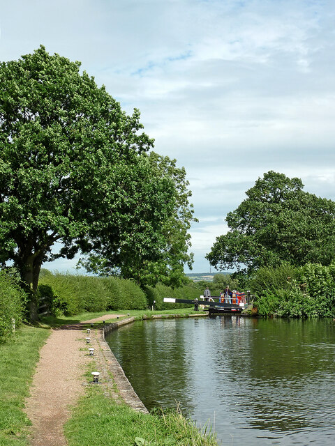
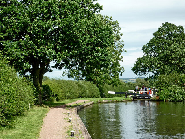
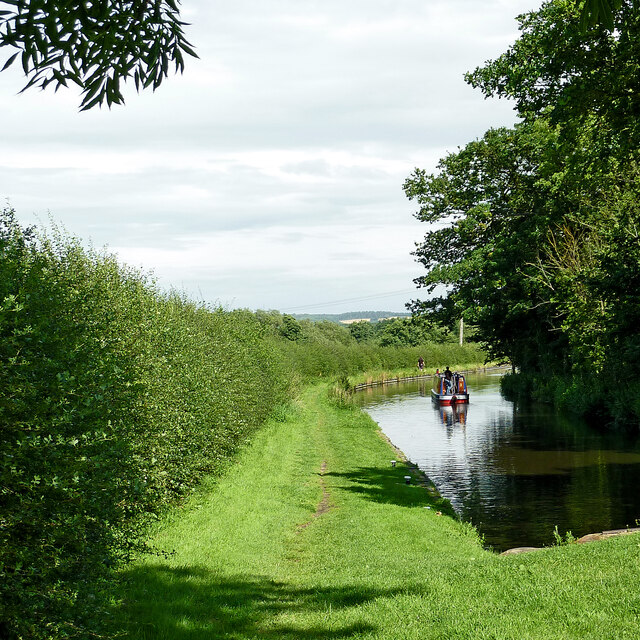
Fullmoor Wood is a picturesque forest located in the county of Staffordshire, England. Covering an area of approximately 500 acres, this enchanting woodland is a haven for nature enthusiasts and outdoor adventurers alike.

The wood is characterized by its dense canopy of ancient oak and beech trees, which provide a rich habitat for a diverse range of flora and fauna. Wildflowers such as bluebells and primroses carpet the forest floor during the spring, creating a vibrant and colorful landscape. The wood is also home to a variety of bird species, including woodpeckers, owls, and songbirds, making it a haven for birdwatchers.

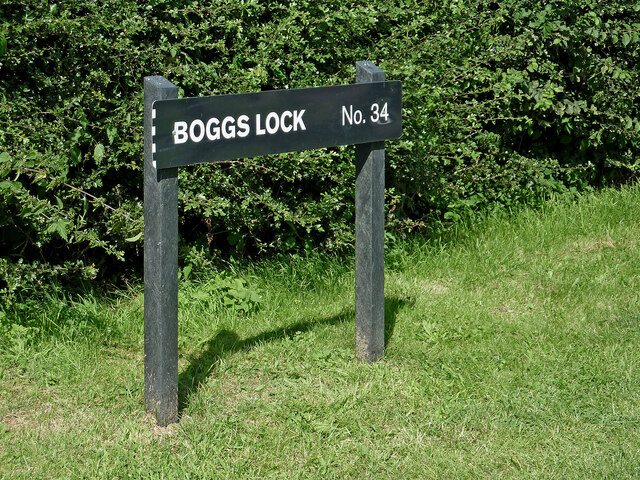
There are several well-maintained trails that wind through Fullmoor Wood, offering visitors the opportunity to explore its natural beauty on foot. These trails vary in difficulty, catering to both casual strollers and more experienced hikers. Along the way, visitors may come across tranquil streams and small ponds, adding to the serene atmosphere of the wood.

Fullmoor Wood is open to the public year-round, providing a peaceful retreat from the hustle and bustle of everyday life. It is a popular destination for families, who can enjoy picnics, wildlife spotting, and even den-building activities in designated areas. The wood also offers educational programs, allowing school groups to learn about the local ecosystem and the importance of conservation.

Overall, Fullmoor Wood is a captivating woodland that offers a tranquil escape into nature. Its breathtaking beauty and diverse wildlife make it a must-visit destination for anyone seeking a peaceful retreat in the heart of Staffordshire.

If you have any feedback on the listing, please let us know in the comments section below.

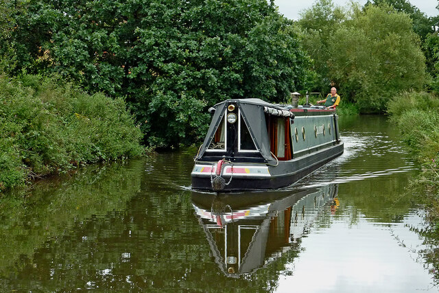
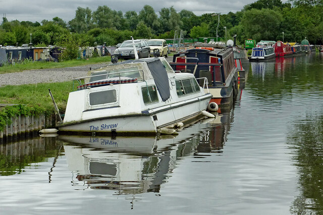
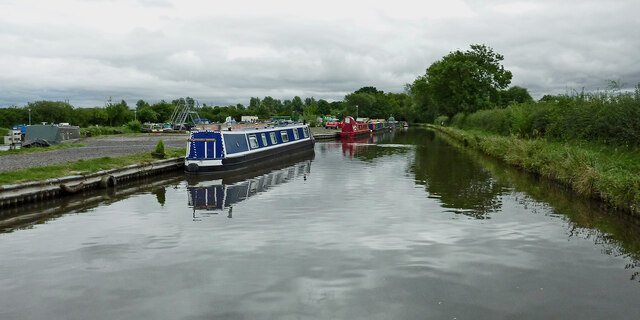
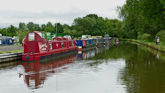
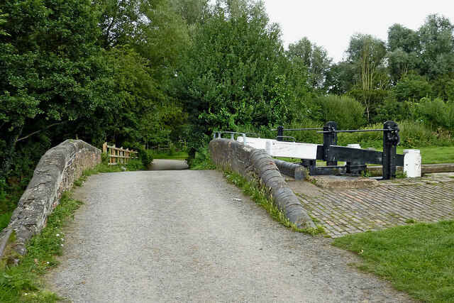
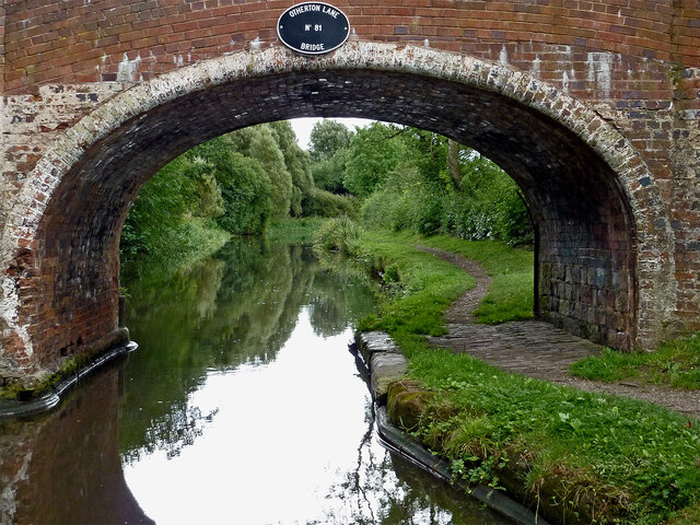
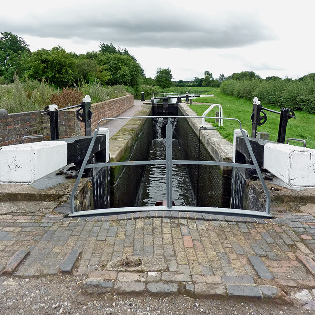
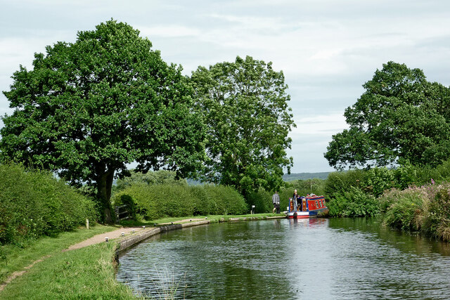
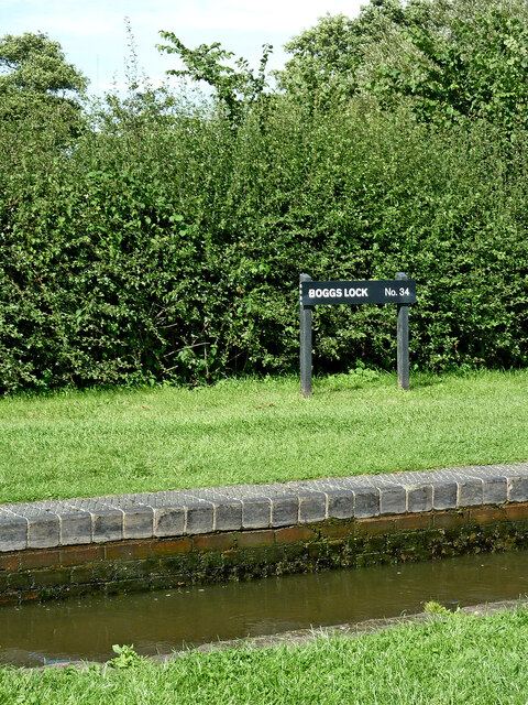
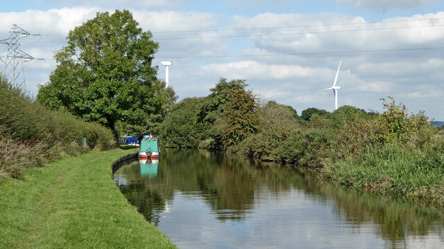
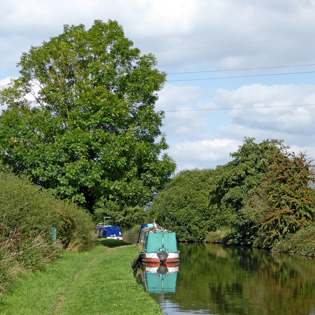
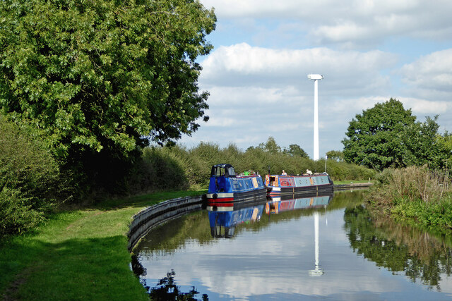
Fullmoor Wood Images

Images are sourced within 2km of 52.698953/-2.0926203 or Grid Reference SJ9311. Thanks to Geograph Open Source API. All images are credited.

Canal cruising south of Penkridge in Staffordshire This is the Staffordshire and Worcestershire Canal at the southern edge of Penkridge, looking south-east as the canal meanders towards Wolverhampton and Stourport.
Canal cruising south of Penkridge in Staffordshire
This is the Staffordshire and Worcestershire Canal at the southern edge of Penkridge, looking south-east as the canal meanders towards Wolverhampton and Stourport.
Sunken boat by Otherton Marina near Penkridge A notice on the boat stated that it had been hit by a passing hire boat. Staffordshire and Worcestershire Canal.
Sunken boat by Otherton Marina near Penkridge
A notice on the boat stated that it had been hit by a passing hire boat. Staffordshire and Worcestershire Canal.
Staffordshire and Worcestershire Canal south of Penkridge Looking south-east towards Wolverhampton and Stourport. Otherton Marina is on the left.
Staffordshire and Worcestershire Canal south of Penkridge
Looking south-east towards Wolverhampton and Stourport. Otherton Marina is on the left.
Staffordshire and Worcestershire Canal south of Penkridge Looking south-east towards Wolverhampton and Stourport. Otherton Marina is on the left.
Staffordshire and Worcestershire Canal south of Penkridge
Looking south-east towards Wolverhampton and Stourport. Otherton Marina is on the left.
Otherton Bridge and Lock near Penkridge, Staffordshire Otherton Bridge is No 83 across the Staffordshire and Worcestershire Canal south of Penkridge. It is an accommodation bridge which also carries a public footpath. Otherton Lock provides a rise (or fall) of 10ft 3in (3·1 metres).
The noisy M6 motorway is behind the trees.
Otherton Bridge and Lock near Penkridge, Staffordshire
Otherton Bridge is No 83 across the Staffordshire and Worcestershire Canal south of Penkridge. It is an accommodation bridge which also carries a public footpath. Otherton Lock provides a rise (or fall) of 10ft 3in (3·1 metres). The noisy M6 motorway is behind the trees.
Staffordshire and Worcestershire Canal south of Penkridge Looking south towards Wolverhampton through the arch of Otherton Lane Bridge, No 81.
Staffordshire and Worcestershire Canal south of Penkridge
Looking south towards Wolverhampton through the arch of Otherton Lane Bridge, No 81.
Rodbaston Lock near Gailey in Staffordshire Rodbaston Lock is No 35 on the Staffordshire and Worcestershire Canal south of Penkridge. It provides a rise (or fall) of 8ft 6in (26 metres). Rodbaston Lock Bridge in the foreground is No 80 and used to be at the end of Gailey Lea Lane. Following construction of the nearby M6 motorway by 1968, the bridge became redundant, though a public footpath still crosses it.
Rodbaston Lock near Gailey in Staffordshire
Rodbaston Lock is No 35 on the Staffordshire and Worcestershire Canal south of Penkridge. It provides a rise (or fall) of 8ft 6in (26 metres). Rodbaston Lock Bridge in the foreground is No 80 and used to be at the end of Gailey Lea Lane. Following construction of the nearby M6 motorway by 1968, the bridge became redundant, though a public footpath still crosses it.
Staffordshire and Worcestershire Canal near Gailey in Staffordshire The narrowboat is about to move into Brick Kiln Lock, No 33.
Staffordshire and Worcestershire Canal near Gailey in Staffordshire
The narrowboat is about to move into Brick Kiln Lock, No 33.
Canal at Brick Kiln Lock near Gailey, Staffordshire Brick Kiln Lock is No 33 on the Staffordshire and Worcestershire Canal near Gailey. It is one of four fairly widely spaced locks descending from Gailey Top Lock by Watling Street.
Canal at Brick Kiln Lock near Gailey, Staffordshire
Brick Kiln Lock is No 33 on the Staffordshire and Worcestershire Canal near Gailey. It is one of four fairly widely spaced locks descending from Gailey Top Lock by Watling Street.
Canal at Brick Kiln Lock near Gailey, Staffordshire Looking north-east towards Penkridge, Stafford and Great Haywood Junction (with the Trent and Mersey Canal).
Brick Kiln Lock is No 33 on the Staffordshire and Worcestershire Canal near Gailey. It is one of four fairly widely spaced locks descending from Gailey Top Lock by Watling Street.
Canal at Brick Kiln Lock near Gailey, Staffordshire
Looking north-east towards Penkridge, Stafford and Great Haywood Junction (with the Trent and Mersey Canal). Brick Kiln Lock is No 33 on the Staffordshire and Worcestershire Canal near Gailey. It is one of four fairly widely spaced locks descending from Gailey Top Lock by Watling Street.
Staffordshire and Worcestershire Canal near Gailey in Staffordshire Looking north-east towards Penkridge, from Brick Kiln Lock, No 33..
Staffordshire and Worcestershire Canal near Gailey in Staffordshire
Looking north-east towards Penkridge, from Brick Kiln Lock, No 33..
Boggs Lock near Gailey in Staffordshire Boggs Lock is No 34 on the Staffordshire and Worcestershire Canal south of Penkridge. It provides a rise (or fall) of 8ft 6in (2·6 metres).
Boggs Lock near Gailey in Staffordshire
Boggs Lock is No 34 on the Staffordshire and Worcestershire Canal south of Penkridge. It provides a rise (or fall) of 8ft 6in (2·6 metres).
Staffordshire and Worcestershire Canal near Gailey, Staffordshire Looking north towards Penkridge.
Staffordshire and Worcestershire Canal near Gailey, Staffordshire
Looking north towards Penkridge.
Canal near Gailey in Staffordshire Looking north towards Penkridge.
Canal near Gailey in Staffordshire
Looking north towards Penkridge.
Moored narrowboats near Gailey in Staffordshire This is the Staffordshire and Worcestershire Canal, about two miles south of Penkridge. The new wind turbine awaits the fitting of its blades.
Moored narrowboats near Gailey in Staffordshire
This is the Staffordshire and Worcestershire Canal, about two miles south of Penkridge. The new wind turbine awaits the fitting of its blades.
Narrowboats and a new wind turbine, Staffordshire This is the Staffordshire and Worcestershire Canal near Gailey in Staffordshire. The wind turbine awaits the fitting of its blades, and looks like a giant alien surveillance unit in a sci-fi scenario.
The moorings are near Brick Kiln Lock, No 33.
Narrowboats and a new wind turbine, Staffordshire
This is the Staffordshire and Worcestershire Canal near Gailey in Staffordshire. The wind turbine awaits the fitting of its blades, and looks like a giant alien surveillance unit in a sci-fi scenario. The moorings are near Brick Kiln Lock, No 33.
Brick Kiln Lock near Gailey in Staffordshire This is the Staffordshire and Worcestershire Canal, about two miles south of Penkridge. Brick Kiln Lock is No 33. The narrow boat has left the lock, and hadn't seen me coming or they would not have closed the top gate.
Brick Kiln Lock near Gailey in Staffordshire
This is the Staffordshire and Worcestershire Canal, about two miles south of Penkridge. Brick Kiln Lock is No 33. The narrow boat has left the lock, and hadn't seen me coming or they would not have closed the top gate.
Show me another place!

Fullmoor Wood is located at Grid Ref: SJ9311 (Lat: 52.698953, Lng: -2.0926203)

Administrative County: Staffordshire

District: South Staffordshire

Police Authority: Staffordshire

What 3 Words

///spellings.meanest.catapult. Near Penkridge, Staffordshire

Nearby Locations

Fullmoor Wood

Related Wikis

Cuttleston

Cuttleston or Cuttlestone is a hundred in the county of Staffordshire, England, located in the centre of that county, south of Stafford. Cuttleston was...
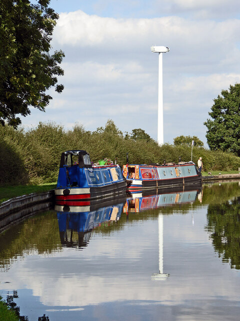
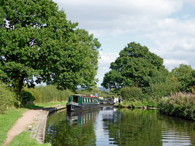
Gailey Reservoirs

Gailey Reservoir is a pair of canal feeder reservoirs in South Staffordshire, separated by a dam, and owned by the Canal & River Trust. Gailey Upper Reservoir...

The Rural Enterprise Academy

The Rural Enterprise Academy is a coeducational high school and sixth form located in Penkridge, Staffordshire, UK. It was the first dedicated land-based...
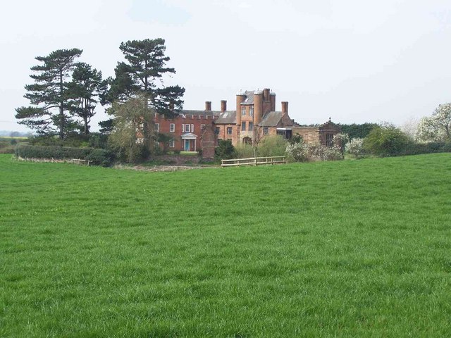
Pillaton Hall

Pillaton Hall was an historic house located in Pillaton, Staffordshire, near Penkridge, England. For more than two centuries it was the seat of the Littleton...

Penkridge weather station

Penkridge weather station is a weather station at Penkridge in Staffordshire, England, operated by the Met Office. It is situated on the site of Rodbaston...

Rodbaston

Rodbaston is a village in Staffordshire, England. The population as taken at the 2011 census can be found under Penkridge. It is the location of a campus...

Cannock Hockey Club

Cannock Hockey Club are an English professional field hockey team. They were established in 1905, and are based in the village of Hatherton, near Cannock...

Pillaton, Staffordshire

Pillaton is a small village in Staffordshire, England, nearby to Penkridge and lying on the B5012 road between Cannock and Penkridge. It falls under the...

Have you been to Fullmoor Wood?

Leave your review of Fullmoor Wood below (or comments, questions and feedback).