Farnham Woods
Wood, Forest in Dorset
England
Farnham Woods

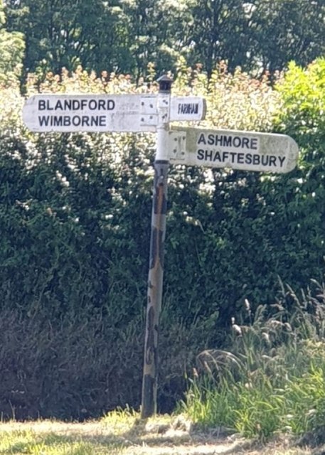
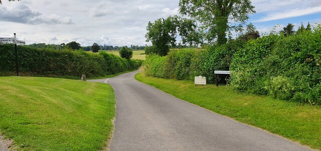
Farnham Woods, located in Dorset, is a captivating woodland area that spans over a vast expanse of land. This enchanting forest is renowned for its natural beauty and abundant wildlife, making it a popular destination for nature enthusiasts and outdoor adventurers alike.
Covering an area of approximately 500 acres, Farnham Woods boasts a diverse range of tree species, including oak, beech, and pine, which create a stunning tapestry of colors throughout the seasons. The forest floor is carpeted with an array of wildflowers, adding to the overall charm of the woodland. Walking through the woods, visitors can enjoy the peaceful ambiance and indulge in the tranquility that the surroundings offer.
The abundance of wildlife in Farnham Woods is truly remarkable. Birdwatchers can delight in spotting various species, such as woodpeckers, owls, and jays, while nature lovers may come across deer, foxes, and badgers. The forest is also home to a diverse range of insects and small mammals, providing ample opportunities for wildlife enthusiasts to observe and photograph these creatures in their natural habitat.
For those seeking outdoor activities, Farnham Woods offers an extensive network of walking trails and cycling paths. These well-maintained routes cater to all levels of fitness and provide an excellent opportunity to explore the scenic beauty of the forest.
Overall, Farnham Woods in Dorset is a truly captivating woodland that offers a blend of natural beauty, diverse flora and fauna, and ample opportunities for outdoor activities. Whether one seeks solace in nature or an adventure-filled day out, Farnham Woods is a must-visit destination for any nature enthusiast.
If you have any feedback on the listing, please let us know in the comments section below.
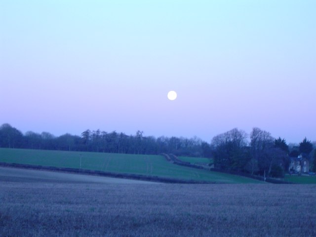
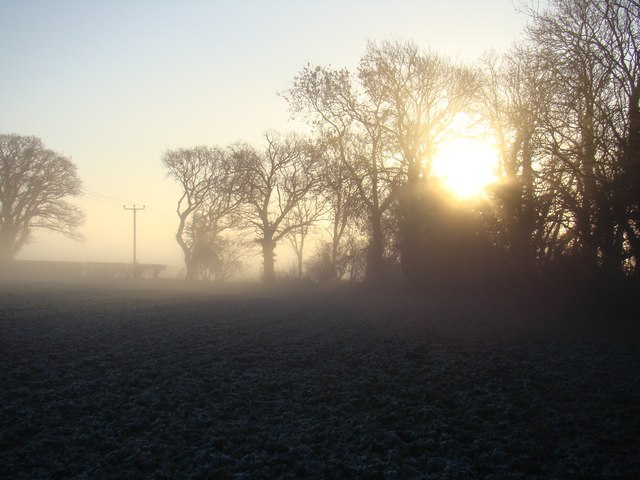
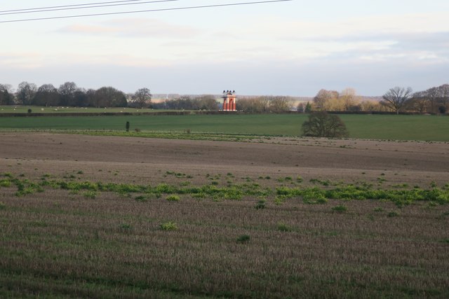
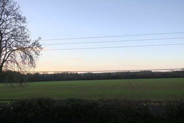
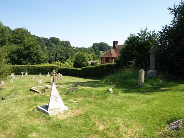
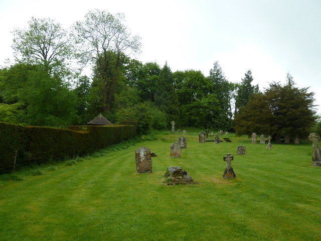
Farnham Woods Images
Images are sourced within 2km of 50.942992/-2.0894196 or Grid Reference ST9315. Thanks to Geograph Open Source API. All images are credited.


![Church of St. Peter ad Vincula, Tollard Royal Very few churches in England are dedicated to St. Peter ad Vincula (St Peter in Chains).
&quot;The name of Tollard is attributed to a man called Toli who held the land in the reign of Edward the Confessor in the 1050’s.&quot; &quot;The suffix “Royal” came into use in the 16th Century and is said to be attributed to King John who used the area [Cranbourne Chase] as a royal hunting ground.&quot; The current church, first mentioned in 1291, dates after his time. <span class="nowrap"><a title="http://tollard.org/about/our-history" rel="nofollow ugc noopener" href="http://tollard.org/about/our-history">Link</a><img style="margin-left:2px;" alt="External link" title="External link - shift click to open in new window" src="https://s1.geograph.org.uk/img/external.png" width="10" height="10"/></span>](https://s3.geograph.org.uk/geophotos/06/40/13/6401363_2ff30a63.jpg)
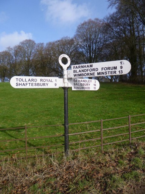
Farnham Woods is located at Grid Ref: ST9315 (Lat: 50.942992, Lng: -2.0894196)
Unitary Authority: Dorset
Police Authority: Dorset
What 3 Words
///date.afflicted.tagging. Near Pimperne, Dorset
Related Wikis

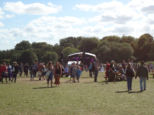
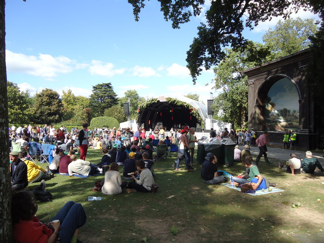
Larmer Tree Festival
Larmer Tree Festival was a three-day music, comedy and arts festival held annually from 1990 until 2019 at the Larmer Tree Gardens, near Tollard Royal...

Larmer Tree Gardens
The Larmer Tree Gardens near Tollard Royal in south Wiltshire, England, were created by landowner Augustus Pitt Rivers in 1880 as pleasure grounds for...

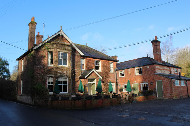
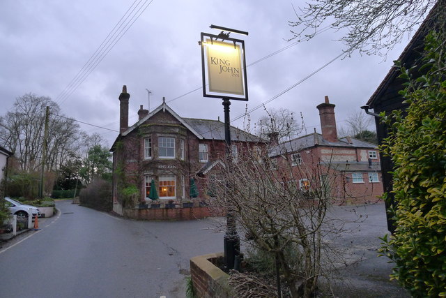
King John's House, Tollard Royal
King John's House is a former manor house in the south Wiltshire village of Tollard Royal, England. Just south of the church, the building has at its core...

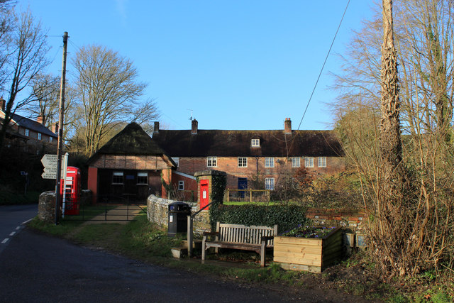
Tollard Royal
Tollard Royal is a village and civil parish on Cranborne Chase, Wiltshire, England. The parish is on Wiltshire's southern boundary with Dorset and the...

South Lodge Camp
South Lodge Camp is an archaeological site of the Bronze Age, about 0.6 miles (1.0 km) south-east of the village of Tollard Royal, in Wiltshire, England...

Farnham, Dorset
Farnham is a village and civil parish in North Dorset, in the south of England, on Cranborne Chase, seven miles (eleven kilometres) northeast of Blandford...

Chettle
Chettle is a small village and civil parish in the county of Dorset in southern England. It lies 6 miles (10 kilometres) northeast of Blandford Forum....

Sandroyd School
Sandroyd School is an independent co-educational preparatory school for day and boarding pupils aged 2 to 13 in the south of Wiltshire, England. The school...
Nearby Amenities
Located within 500m of 50.942992,-2.0894196Have you been to Farnham Woods?
Leave your review of Farnham Woods below (or comments, questions and feedback).