Back Wood

Wood, Forest in Northumberland

England

Back Wood

Bull and cow Set against the unlikely backdrop of Close House Residential Care Home.
Bull and cow Credit: Oliver Dixon

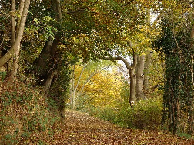
Back Wood is a picturesque forest located in Northumberland, a county in the northeast of England. Covering an area of approximately 100 hectares, it is well-known for its natural beauty and diverse wildlife. The forest is situated in a remote and secluded area, providing a peaceful and tranquil environment for visitors to escape the hustle and bustle of daily life.

The woodland is predominantly made up of native tree species, including oak, beech, and birch. These trees create a dense canopy, providing shade and shelter for a variety of plants and animals. The forest floor is covered in a thick carpet of moss and ferns, adding to the enchanting atmosphere of the woodland.

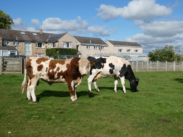
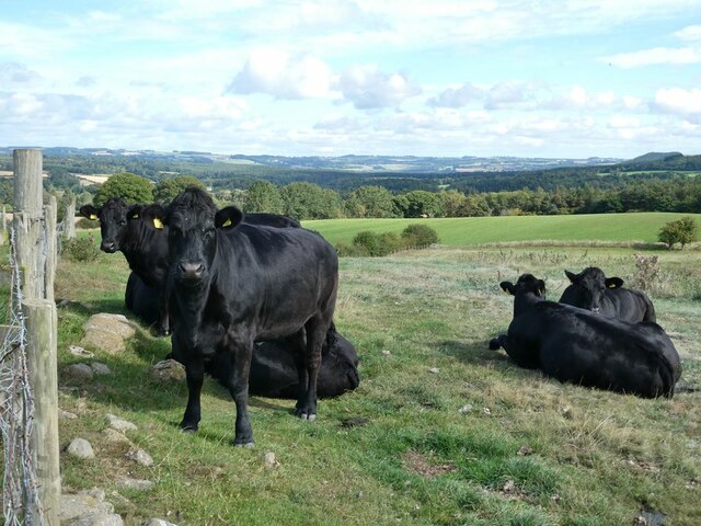
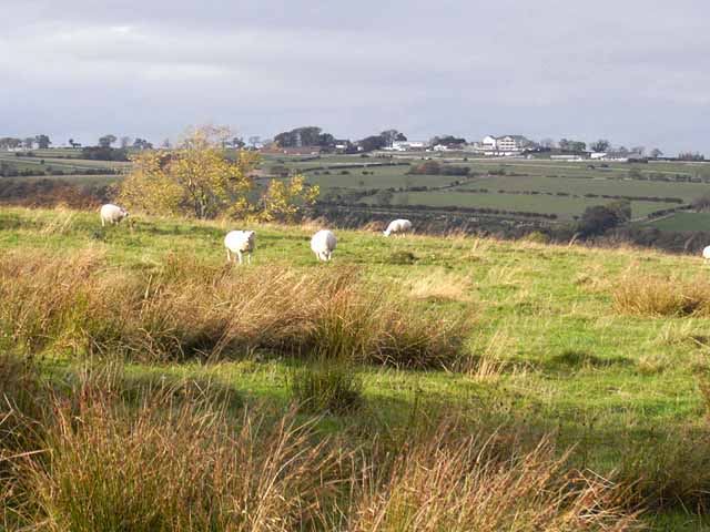
Back Wood is home to a wide range of wildlife, including deer, foxes, squirrels, and numerous species of birds. It is a popular destination for birdwatchers, as the forest attracts a variety of woodland birds such as woodpeckers, owls, and thrushes.

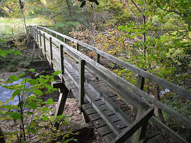
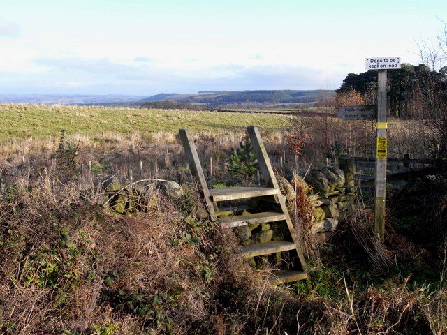
There are several walking trails that meander through the forest, allowing visitors to explore its beauty at their own pace. These trails vary in length and difficulty, catering to both casual strollers and more experienced hikers. Along the way, walkers can enjoy breathtaking views of the surrounding countryside and may even stumble upon hidden streams or small ponds.

In summary, Back Wood is a natural gem in Northumberland. With its lush vegetation, diverse wildlife, and peaceful atmosphere, it offers a perfect retreat for nature lovers and outdoor enthusiasts.

If you have any feedback on the listing, please let us know in the comments section below.
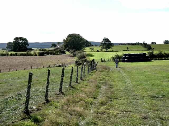
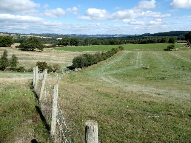
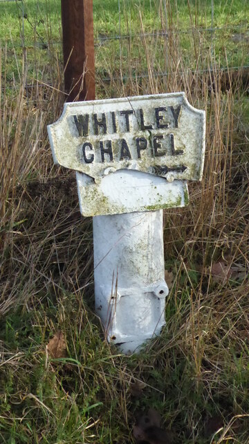
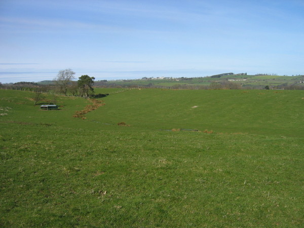
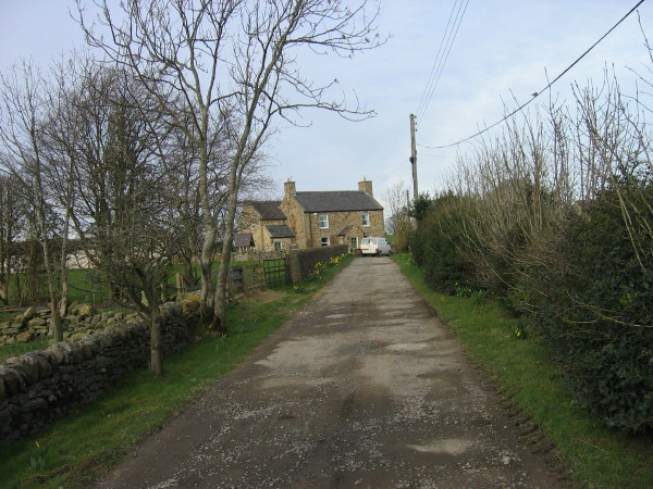
Back Wood Images

Images are sourced within 2km of 54.942837/-2.1005917 or Grid Reference NY9360. Thanks to Geograph Open Source API. All images are credited.

Bull and cow Set against the unlikely backdrop of Close House Residential Care Home.
Bull and cow
Set against the unlikely backdrop of Close House Residential Care Home.
Tamworth Reds I never knew that pigs could set up quite the cacophonous racket that these two (together with a couple of others) did when they saw us and presumably thought that food  was on the way!
Tamworth Reds
I never knew that pigs could set up quite the cacophonous racket that these two (together with a couple of others) did when they saw us and presumably thought that food was on the way!
Old pump Outside Lee Nook Farm.
Old pump
Outside Lee Nook Farm.
Heffers and steers Beside the path to Lee. Tynedale in the distance.
Heffers and steers
Beside the path to Lee. Tynedale in the distance.
The path to Lee
The path to Lee
Fields beside the path from Lee to Newbigin House Farm
Old Milestone by UC road, Ordley The Milestone is located on grass verge on the East side of the road.  Parish of Hexhamshire (Tynedale District). Metal post with attached metal plate, Smith Patterson iron shield design, erected by the Hexham turnpike trust in the 19th Century. Half of shield missing. An earlier photograph can be found here: <a title="https://www.geograph.org.uk/photo/6055942" href="https://www.geograph.org.uk/photo/6055942">Link</a> 

Inscription reads:-  
WHITLEY / CHAPEL / (2½) {arrow} / (HEXHAM) / (3) / ({arrow}) SMITH PATTERSON / BLAYDON /

Grade II listed. 
List Entry Number: 1045329 <span class="nowrap"><a title="https://historicengland.org.uk/listing/the-list/list-entry/1045329" rel="nofollow ugc noopener" href="https://historicengland.org.uk/listing/the-list/list-entry/1045329">Link</a><img style="margin-left:2px;" alt="External link" title="External link - shift click to open in new window" src="https://s1.geograph.org.uk/img/external.png" width="10" height="10"/></span> 

Milestone Society National ID: NB_HXWC03
Old Milestone by UC road, Ordley
The Milestone is located on grass verge on the East side of the road.  Parish of Hexhamshire (Tynedale District). Metal post with attached metal plate, Smith Patterson iron shield design, erected by the Hexham turnpike trust in the 19th Century. Half of shield missing. An earlier photograph can be found here: Link  Inscription reads:- WHITLEY / CHAPEL / (2½) {arrow} / (HEXHAM) / (3) / ({arrow}) SMITH PATTERSON / BLAYDON / Grade II listed. List Entry Number: 1045329 LinkExternal link Milestone Society National ID: NB_HXWC03
Farmland and footpath crossing Cockshaw Rigg
Dotland
Dotland
Footpath leading to Lee
Medieval village at Dotland This rather unprepossessing field of humps and hollows marks this site of what was in Mediaeval times a substantial village <span class="nowrap"><a title="http://www.durham-pa.gov.uk/durhamcc/K2P.nsf/K2PDetail?readform&PRN=N8336" rel="nofollow ugc noopener" href="http://www.durham-pa.gov.uk/durhamcc/K2P.nsf/K2PDetail?readform&PRN=N8336">Link</a><img style="margin-left:2px;" alt="External link" title="External link - shift click to open in new window" src="https://s1.geograph.org.uk/img/external.png" width="10" height="10"/></span>. The hills on the skyline lie to the north of the Tyne valley.
Medieval village at Dotland
This rather unprepossessing field of humps and hollows marks this site of what was in Mediaeval times a substantial village LinkExternal link. The hills on the skyline lie to the north of the Tyne valley.
Ordley, near Juniper village A cluster of barn conversions.
Ordley, near Juniper village
A cluster of barn conversions.
Driveway to Nunsbrough House Hidden deep in the valley of the Devil's Water, this lovely driveway reminds me of a Samuel Palmer painting.
Driveway to Nunsbrough House
Hidden deep in the valley of the Devil's Water, this lovely driveway reminds me of a Samuel Palmer painting.
Cockshaw Rigg Rough pasture on the back road from Juniper to Dotland. Hexham Racecourse <a href="https://www.geograph.org.uk/gridref/NY9162">NY9162</a> on the skyline.
Cockshaw Rigg
Rough pasture on the back road from Juniper to Dotland. Hexham Racecourse NY9162 on the skyline.
Linnelswood Bridge A very substantial footbridge carrying the footpath from Ordley to Dipton Wood over the Devil's Water.
Linnelswood Bridge
A very substantial footbridge carrying the footpath from Ordley to Dipton Wood over the Devil's Water.
Cockshaw Rigg Ladder stile and footpath from Smelting Syke to Dotland Park. Tynedale can be seen in the distance.
Cockshaw Rigg
Ladder stile and footpath from Smelting Syke to Dotland Park. Tynedale can be seen in the distance.
Byway leading from Dotland
Medieval Well in the grounds of Dotland Farm
Show me another place!

Back Wood is located at Grid Ref: NY9360 (Lat: 54.942837, Lng: -2.1005917)

Unitary Authority: Northumberland

Police Authority: Northumbria

What 3 Words

///computers.aboard.retiring. Near Hexham, Northumberland

Nearby Locations

Fore Wood Back Wood

Related Wikis

Hexhamshire Low Quarter

Hexhamshire Low Quarter is a former civil parish, now in the parish of Hexhamshire, in Northumberland, England. It was situated to the south of Hexham...

Juniper, Northumberland

Juniper is a hamlet in the English county of Northumberland. It is about 5 miles (8 km) due south of Hexham in the area known as Hexhamshire. There is...

Rowley Burn (Northumberland)

Rowley Burn (also known as Rowley Brook and Ham Burn, NY 9358) is a stream in Northumberland, running around three miles south of Hexham before joining...

St Mary's Church, Hexham

St Mary's Church is a Roman Catholic Parish church in Hexham, Northumberland. It was built from 1828 to 1830 in the Gothic Revival style. It is located...

Nearby Amenities

Located within 500m of 54.942837,-2.1005917
The data included in this document is from www.openstreetmap.org. The data is made available under ODbL.

Have you been to Back Wood?

Leave your review of Back Wood below (or comments, questions and feedback).