Lower Wood
Wood, Forest in Dorset
England
Lower Wood
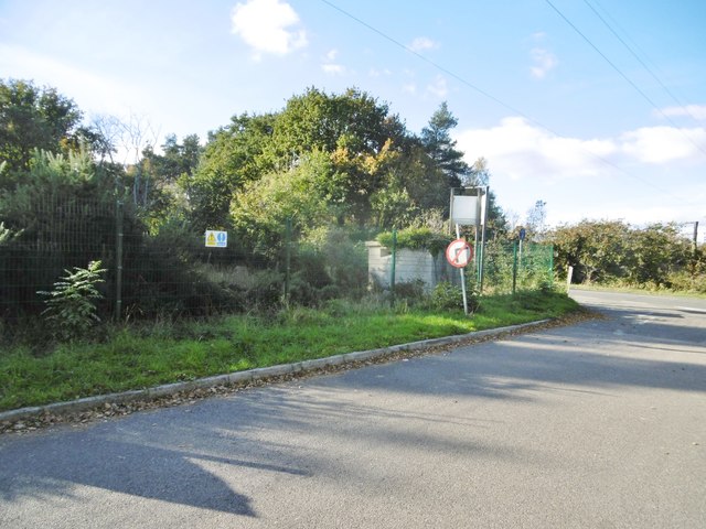
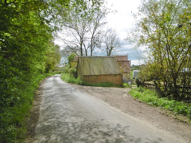
Lower Wood is a picturesque forest located in the county of Dorset, England. Spanning over an area of approximately 100 acres, it is a haven for nature enthusiasts and wildlife lovers alike. The forest is situated near the small village of Wood, and it is surrounded by rolling hills and lush green meadows.
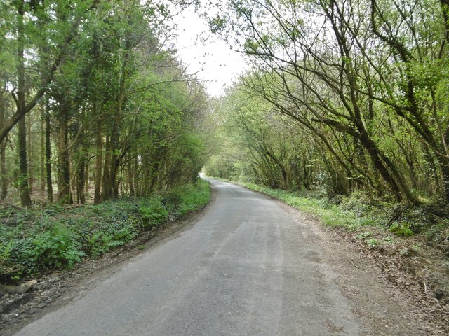
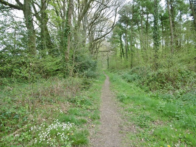
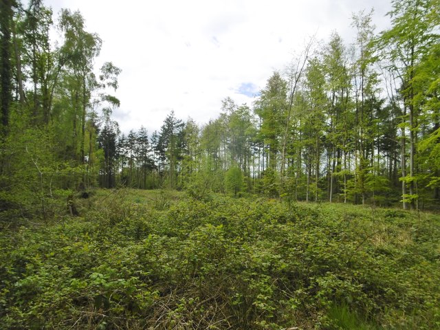
Lower Wood features a diverse range of flora and fauna, making it a popular destination for botanists and birdwatchers. The woodland is predominantly composed of broadleaf trees such as oak, beech, and ash, which create a dense canopy, providing shade and shelter for the various species that call this forest home.
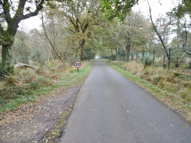
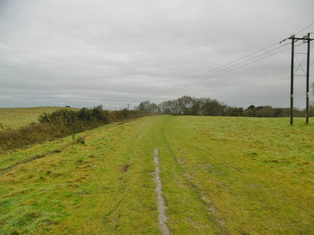
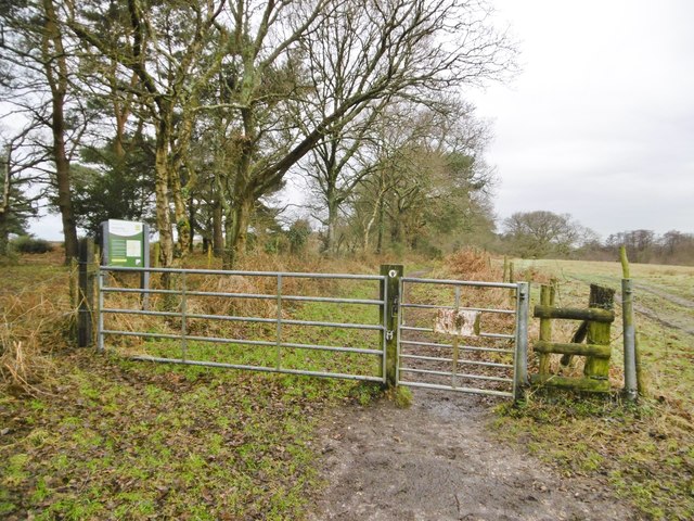
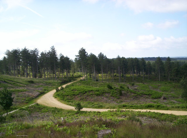
The forest is crisscrossed with a network of well-maintained footpaths, allowing visitors to explore its beauty and tranquility. These pathways lead to hidden clearings, babbling brooks, and small ponds, adding to the charm and allure of Lower Wood.
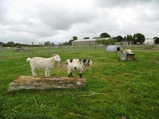
Wildlife thrives in this natural habitat, with an abundance of birds, mammals, and insects. Bird species such as the great spotted woodpecker, tawny owl, and long-tailed tit can be spotted among the treetops, while mammals including deer, foxes, and badgers roam the forest floor.
Lower Wood offers a peaceful retreat for those seeking solace in nature. It provides opportunities for hiking, birdwatching, photography, and simply immersing oneself in the serenity of the forest. With its stunning scenery and diverse ecosystem, Lower Wood is a true gem within the Dorset countryside.
If you have any feedback on the listing, please let us know in the comments section below.
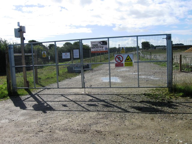
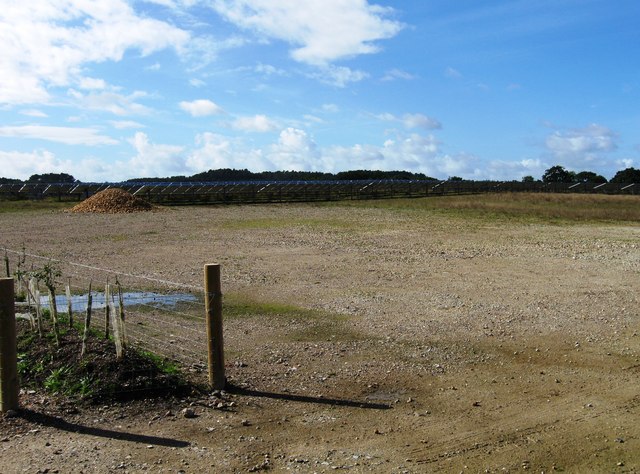
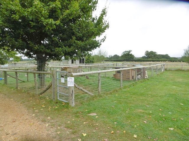
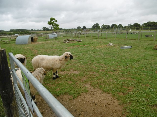
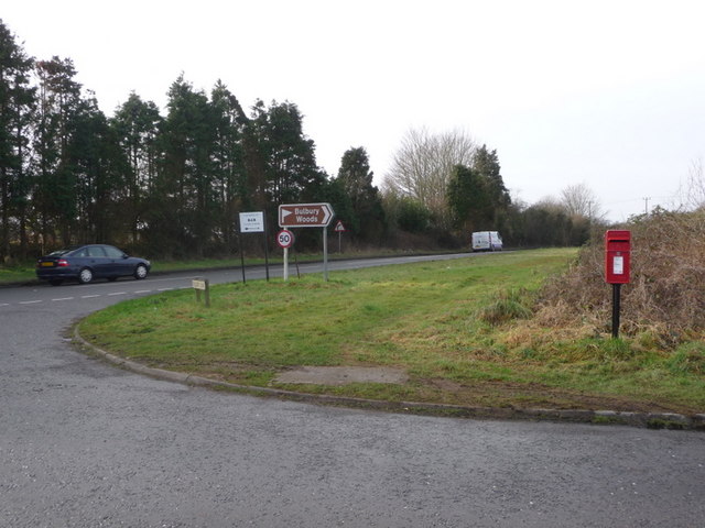
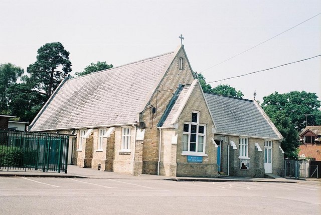
Lower Wood Images
Images are sourced within 2km of 50.729372/-2.0926949 or Grid Reference SY9392. Thanks to Geograph Open Source API. All images are credited.


Lower Wood is located at Grid Ref: SY9392 (Lat: 50.729372, Lng: -2.0926949)
Unitary Authority: Dorset
Police Authority: Dorset
What 3 Words
///rooks.inherits.shall. Near Lytchett Matravers, Dorset
Nearby Locations
Related Wikis

Organford
Organford is a hamlet in the county of Dorset, England. It is located just south of the A35 between Lytchett Minster and Slepe. == References ==
Gore Heath
Gore Heath is an area of coniferous woodland and open heathland forming part of Wareham Forest west of the Poole-Bournemouth conurbation in south Dorset...
Slepe
Slepe is a hamlet in the county of Dorset, England. It is located on the A35 east of Organford. == References ==
Wareham St Martin
Wareham St Martin is a civil parish in the English county of Dorset. The parish spreads across a large, and mostly rural area to the north of the town...

Holton Heath
Holton Heath is an area of the parish of Wareham St. Martin, Dorset, England. The area includes a trading estate, on the site of the former Royal Navy...

Royal Naval Cordite Factory, Holton Heath
The Royal Naval Cordite Factory, Holton Heath (RNCF) was set up at Holton Heath, Dorset, England, in World War I to manufacture cordite for the Royal Navy...
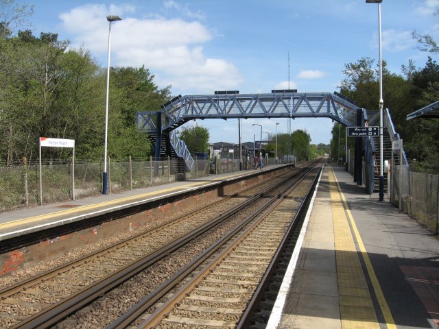
Holton Heath railway station
Holton Heath railway station serves the area of Holton Heath in Wareham St Martin, Dorset, England. It is 118 miles 61 chains (191.1 km) down the line...

Decoy Heath
Decoy Heath is an area of open heathland and bog forming part of Wareham Forest west of the Poole-Bournemouth conurbation in south Dorset, England. It...
Related Videos

Fantastic Facilities at Sandford Holiday Park!
Are you looking for a holiday destination that's packed with fantastic activities for the whole family? Well Sandford Holiday Park in ...

Sandford Holiday Park - Poole, Dorset
Are you looking for a holiday destination that's packed with fantastic activities for the whole family? Well Sandford Holiday Park in ...

Sandford Holiday Park
camping in the Van over the Queen's jubilee weekend at Sandford Holiday Park, Poole, Dorset.

OUR AMAZING HOLIDAY IN DORSET!!!
OUR AMAZING HOLIDAY IN DORSET!!! | SANDFORD HOLIDAY VLOG..! Welcome everyone our summer holiday of 2022. In this ...
Nearby Amenities
Located within 500m of 50.729372,-2.0926949Have you been to Lower Wood?
Leave your review of Lower Wood below (or comments, questions and feedback).