Fox Covert

Wood, Forest in Northumberland

England

Fox Covert

Tweedside in the sun A beautiful spring afternoon by the River Tweed near Fishwick.

This photograph was taken during the Coronavirus (COVID-19) pandemic of 2020/21/22.
Tweedside in the sun Credit: James T M Towill

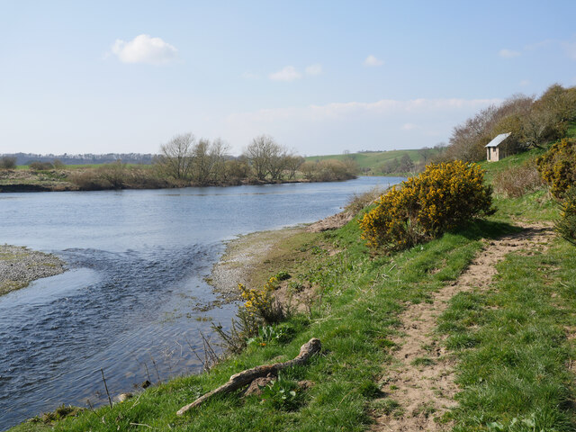
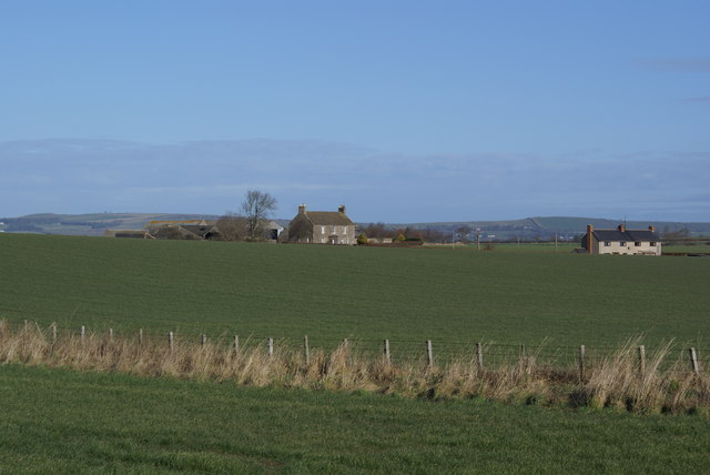
Fox Covert is a picturesque woodland located in Northumberland, England. Nestled in the heart of the countryside, this enchanting forest covers an area of approximately 50 acres. It is situated near the village of Wood and is known for its stunning natural beauty and diverse wildlife.

The woodland is primarily composed of a mix of deciduous and coniferous trees, creating a rich and diverse habitat. Towering oak, beech, and ash trees dominate the landscape, providing a haven for numerous bird species such as woodpeckers, owls, and thrushes. The forest floor is adorned with a carpet of wildflowers, including bluebells, primroses, and foxgloves, which paint the woodland in vibrant colors during the spring and summer months.

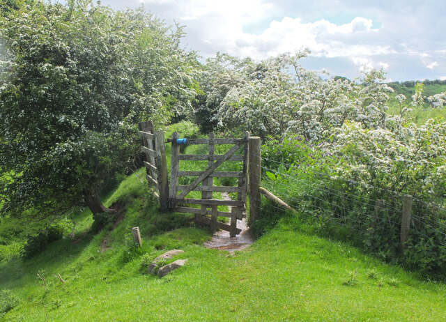
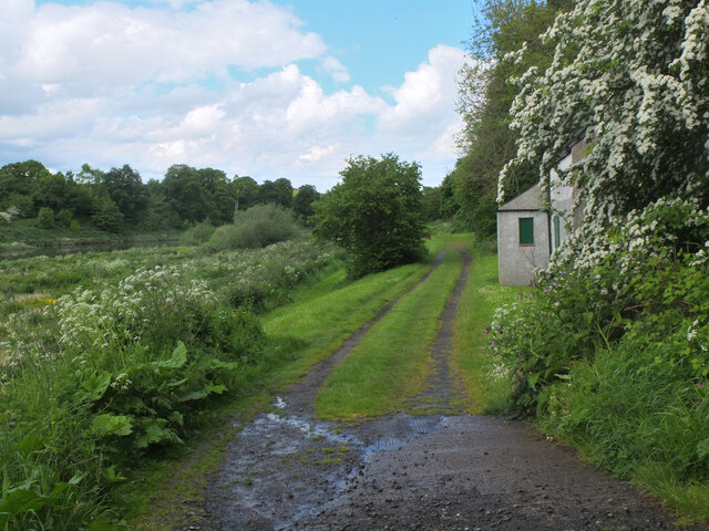
Fox Covert offers a peaceful retreat for nature enthusiasts and walkers alike. A network of well-maintained trails winds through the forest, allowing visitors to explore its hidden corners and discover its many treasures. The trails are suitable for all ages and abilities, offering a range of distances to cater to different preferences.

In addition to its natural beauty, Fox Covert is also home to a diverse range of wildlife. Red squirrels scurry through the treetops, while deer can often be spotted grazing on the fringes of the woodland. The forest is also a haven for small mammals such as rabbits, badgers, and foxes, which thrive in its undisturbed environment.

Overall, Fox Covert is a haven of tranquility and natural beauty, offering visitors a chance to immerse themselves in the wonders of Northumberland's woodlands and forests.

If you have any feedback on the listing, please let us know in the comments section below.
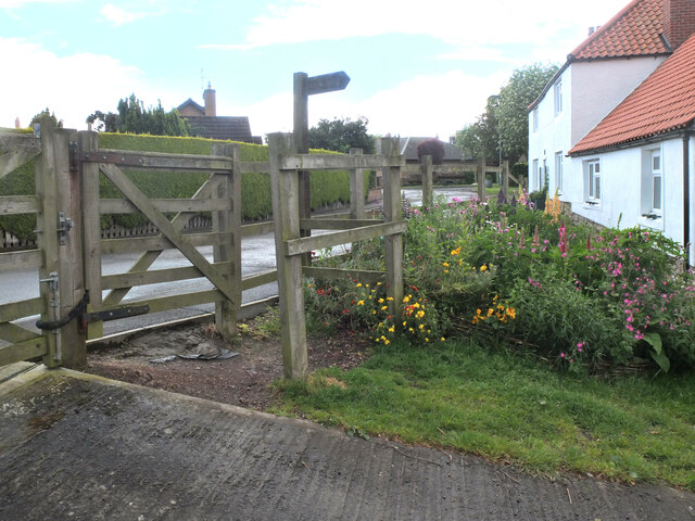
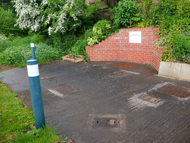
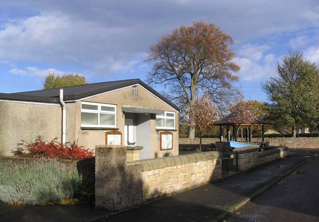
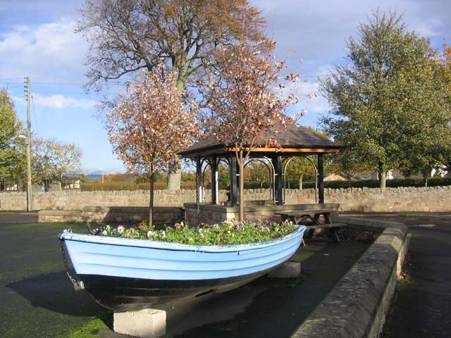
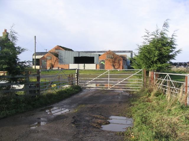
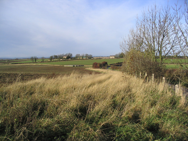
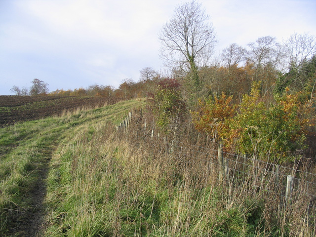
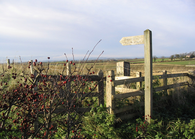
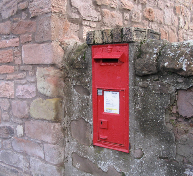
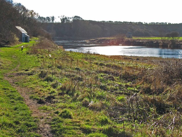
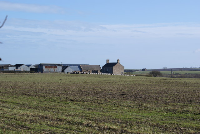
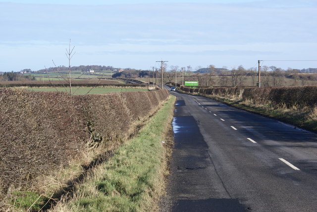
Fox Covert Images

Images are sourced within 2km of 55.733679/-2.1050731 or Grid Reference NT9348. Thanks to Geograph Open Source API. All images are credited.

Tweedside in the sun A beautiful spring afternoon by the River Tweed near Fishwick.

This photograph was taken during the Coronavirus (COVID-19) pandemic of 2020/21/22.
Tweedside in the sun
A beautiful spring afternoon by the River Tweed near Fishwick. This photograph was taken during the Coronavirus (COVID-19) pandemic of 2020/21/22.
Hawthorn blossom by the Tweed On the path from the Chain Bridge to Horncliffe.
Hawthorn blossom by the Tweed
On the path from the Chain Bridge to Horncliffe.
Track by the Tweed, Horncliffe Access to a fishing hut and another building on the banks of the river.
Track by the Tweed, Horncliffe
Access to a fishing hut and another building on the banks of the river.
Tofts Lane, Horncliffe Horncliffe is on the east bank of the Tweed and is the most northerly village in England.
Tofts Lane, Horncliffe
Horncliffe is on the east bank of the Tweed and is the most northerly village in England.
Building work, Horncliffe Dust rising from a shovel loader being used to collect builder's rubble from house repairs on the Main Street.
Building work, Horncliffe
Dust rising from a shovel loader being used to collect builder's rubble from house repairs on the Main Street.
Footpath to the Tweed, Horncliffe A path from the village that descends through Toft's Plantation to the river bank.
Footpath to the Tweed, Horncliffe
A path from the village that descends through Toft's Plantation to the river bank.
Horncliffe sewage pumping station Manhole covers on a concrete apron at the start of the path to the Tweed.
Horncliffe sewage pumping station
Manhole covers on a concrete apron at the start of the path to the Tweed.
Horncliffe Village Hall In Main Street, Horncliffe.
Horncliffe Village Hall
In Main Street, Horncliffe.
Flower bed boat and shelter in the village of Horncliffe This boat, filled with winter pansies, is next to Horncliffe village hall. A slate roofed shelter is beyond.
Flower bed boat and shelter in the village of Horncliffe
This boat, filled with winter pansies, is next to Horncliffe village hall. A slate roofed shelter is beyond.
Farm buildings at East Newburn Viewed from the A698.
Farm buildings at East Newburn
Viewed from the A698.
Set aside strip A good margin has been left in this field. Thornton Park Farm is in the distance.
Set aside strip
A good margin has been left in this field. Thornton Park Farm is in the distance.
Field and woodland boundary Near Slateford Bridge.
Field and woodland boundary
Near Slateford Bridge.
Public footpath signpost Near Thornton Cottage and giving directions to Royalty Bridge half a mile to the West-southwest.
Public footpath signpost
Near Thornton Cottage and giving directions to Royalty Bridge half a mile to the West-southwest.
Victorian wall postbox Built into a wall opposite the village hall in Horncliffe.
Victorian wall postbox
Built into a wall opposite the village hall in Horncliffe.
River Tweed meander below Horncliffe village
Emerick Farm
Emerick Farm
Road at Norham East Mains
Norham East Mains Farm
Show me another place!

Fox Covert is located at Grid Ref: NT9348 (Lat: 55.733679, Lng: -2.1050731)

Unitary Authority: Northumberland

Police Authority: Northumbria

What 3 Words

///degrading.limelight.harder. Near Berwick-Upon-Tweed, Northumberland

Nearby Locations

Fox Covert

Related Wikis

Velvet Hall railway station

Velvet Hall railway station was a railway station which served the village of Horncliffe in Northumberland, England. == History == The station opened on...

Horncliffe

Horncliffe is a village in the county of Northumberland, England. It lies on the south bank of the River Tweed about 5 miles (8 km) south west of Berwick...

Union Chain Bridge

The Union Chain Bridge or Union Bridge is a suspension bridge that spans the River Tweed between Horncliffe, Northumberland, England and Fishwick, Berwickshire...

Shoreswood

Shoreswood is a place and civil parish about 6 miles from Berwick-upon-Tweed, in the county of Northumberland, England. The parish includes the hamlets...

Nearby Amenities

Located within 500m of 55.733679,-2.1050731
Horncliffe Mill Farm
Place: hamlet
Lat/Long: 55.736308/-2.1104831
Power: pole
Source: Bing
Lat/Long: 55.7379901/-2.1041976
Power: pole
Source: Bing
Lat/Long: 55.7375019/-2.1032175
Power: pole
Source: Bing
Lat/Long: 55.7370191/-2.102248
Power: pole
Source: Bing
Lat/Long: 55.7365343/-2.1012748
Power: pole
Source: Bing
Lat/Long: 55.7360373/-2.1002769
Power: pole
Source: Bing
Lat/Long: 55.7354039/-2.0993679
Power: pole
Source: Bing
Lat/Long: 55.7347567/-2.0984392
Power: pole
Source: Bing
Lat/Long: 55.7341315/-2.097542
The data included in this document is from www.openstreetmap.org. The data is made available under ODbL.

Have you been to Fox Covert?

Leave your review of Fox Covert below (or comments, questions and feedback).