Barrow Piece Plantation
Wood, Forest in Gloucestershire Cotswold
England
Barrow Piece Plantation
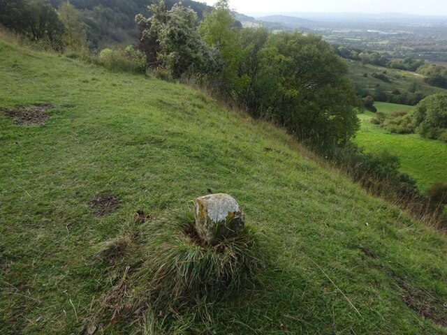
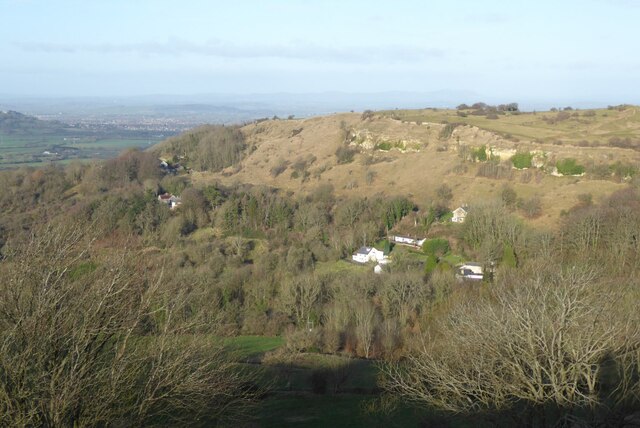
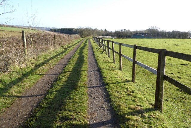
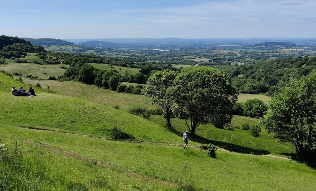
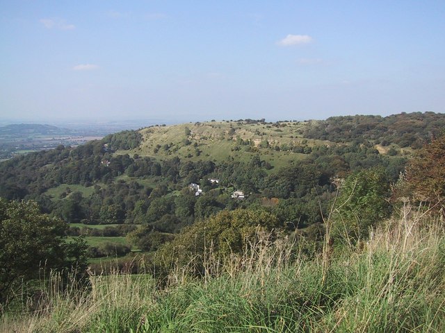
Barrow Piece Plantation is a picturesque woodland located in Gloucestershire, England. Covering an area of approximately 100 acres, it is a prominent feature of the surrounding landscape and offers a tranquil escape for nature enthusiasts and outdoor enthusiasts alike.
The plantation is primarily composed of a mixture of deciduous and coniferous trees, creating a diverse and visually appealing environment. Oak, beech, and ash trees dominate the landscape, providing a rich and vibrant canopy during the summer months. The plantation also features several species of conifers, including pine and spruce, which offer a contrasting green hue throughout the year.
Home to a wide range of flora and fauna, Barrow Piece Plantation provides ample opportunities for wildlife observation and study. The woodland is frequented by various bird species, such as woodpeckers, owls, and thrushes, making it a popular spot for birdwatching enthusiasts. Mammals such as deer, foxes, and squirrels can also be spotted within the plantation.
The plantation offers a network of well-maintained trails and paths, making it an ideal location for hiking, jogging, and cycling. Visitors can explore the woodland at their leisure, immersing themselves in the serene atmosphere and enjoying the sights and sounds of nature. There are also designated picnic areas and benches, providing the perfect setting for a peaceful outdoor lunch or a moment of relaxation.
Barrow Piece Plantation is not only a haven for nature lovers but also serves as an important ecological site. It contributes to maintaining the biodiversity of the region and acts as a vital habitat for various plant and animal species. Its beauty and significance make it a cherished destination for locals and tourists seeking a connection with nature.
If you have any feedback on the listing, please let us know in the comments section below.
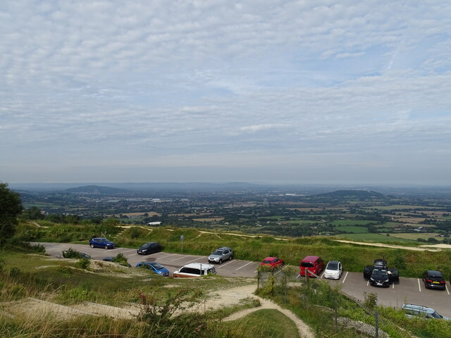
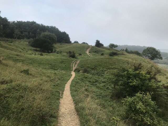
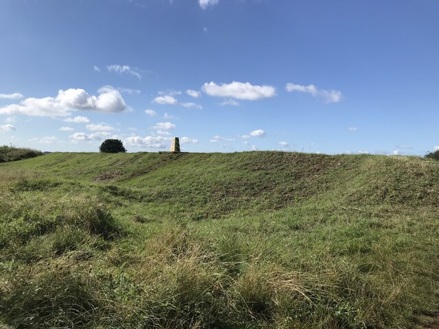
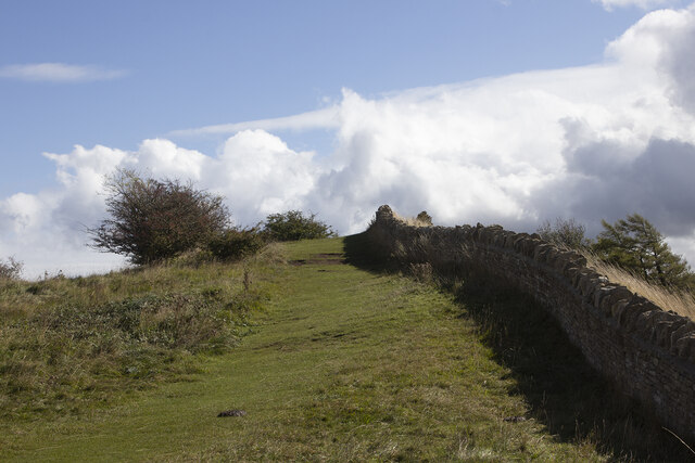
Barrow Piece Plantation Images
Images are sourced within 2km of 51.852812/-2.0970531 or Grid Reference SO9317. Thanks to Geograph Open Source API. All images are credited.


Barrow Piece Plantation is located at Grid Ref: SO9317 (Lat: 51.852812, Lng: -2.0970531)
Administrative County: Gloucestershire
District: Cotswold
Police Authority: Gloucestershire
What 3 Words
///buckling.champions.beeline. Near Shurdington, Gloucestershire
Nearby Locations
Related Wikis

Ullenwood
Ullenwood is a village in the Coberley civil parish, near Cheltenham in Gloucestershire. It is the site of a formerly secret civil defence bunker intended...

National Star College
The National Star College (previously known as the Star Centre) is an independent specialist further education college for people with physical disabilities...

The Air Balloon, Birdlip
The Air Balloon is a road junction and former pub Birdlip, Gloucestershire, England. The junction is on the A417 at a significant congestion point. The...
Crickley Hill and Barrow Wake
Crickley Hill and Barrow Wake (grid reference SO929161 & grid reference SO931154) is a 56.8-hectare (140-acre) biological and geological Site of Special...

Devil's Chimney (Gloucestershire)
The Devil's Chimney is a limestone rock formation that stands above a disused quarry in Leckhampton, near Cheltenham, Gloucestershire, England. It is named...

Shurdington
Shurdington is a village near Cheltenham in Gloucestershire, England. The area constitutes a civil parish within the Borough of Tewkesbury. It is located...
Hatherley and Reddings Cricket Club Ground
Hatherley and Reddings Cricket Club Ground is a cricket ground in Cheltenham, Gloucestershire. The first recorded match held on the ground came in 1986...

St Peter's Church, Leckhampton
St Peter's Church, Leckhampton is the Church of England parish church in Leckhampton, Cheltenham, Gloucestershire, England. The church belongs to the...
Nearby Amenities
Located within 500m of 51.852812,-2.0970531Have you been to Barrow Piece Plantation?
Leave your review of Barrow Piece Plantation below (or comments, questions and feedback).