Short Wood
Wood, Forest in Gloucestershire Cotswold
England
Short Wood
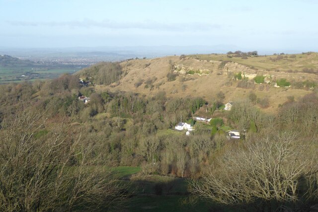
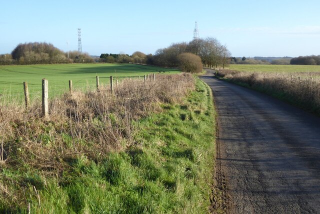
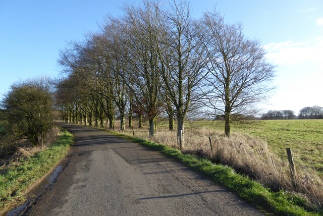
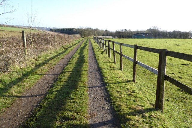
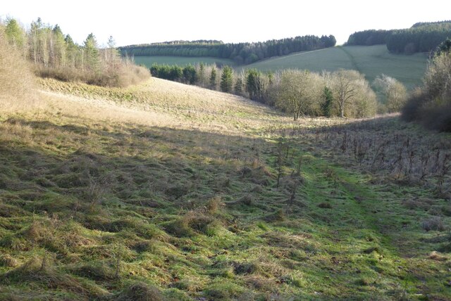
Short Wood is a small woodland area located in Gloucestershire, England. It is part of the larger Forest of Dean, a historic woodland that covers a significant portion of the county. Short Wood is situated in the western part of the Forest and is known for its natural beauty and rich biodiversity.
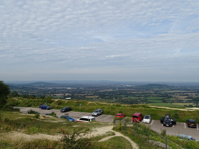
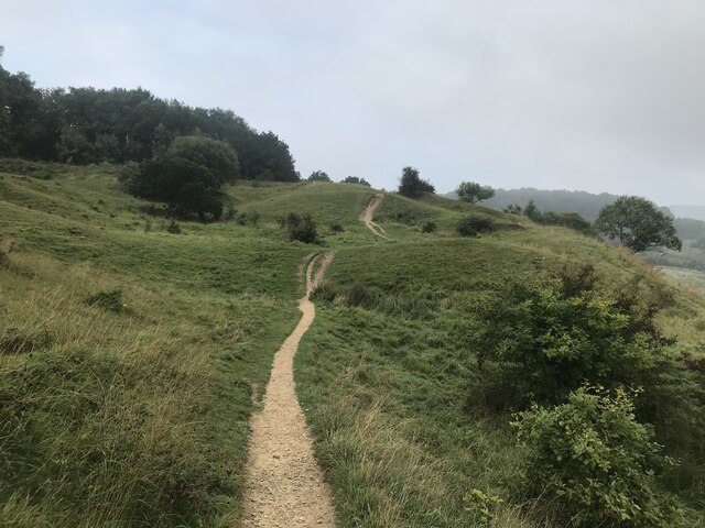
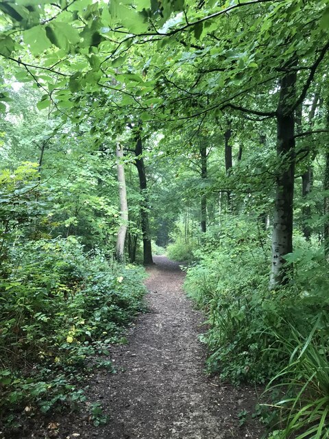
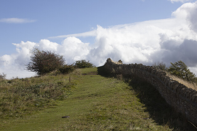
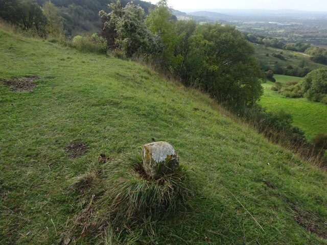
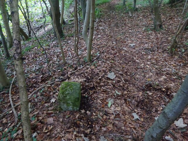
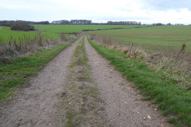
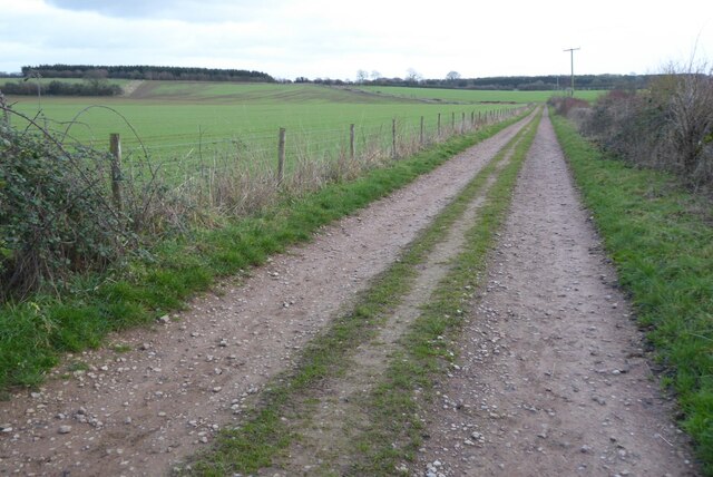
Covering an area of approximately 50 acres, Short Wood is primarily composed of broadleaf trees such as oak, beech, and ash. The woodland is dense and provides habitat for a variety of plant and animal species. It is a popular destination for nature lovers, hikers, and birdwatchers, who enjoy exploring its winding paths and observing the local wildlife.
The forest floor of Short Wood is adorned with a diverse range of flora, including bluebells, wild garlic, and foxgloves, which create a vibrant and colorful landscape during the spring and summer months. The wood is also home to several species of mammals, including deer, badgers, and foxes.
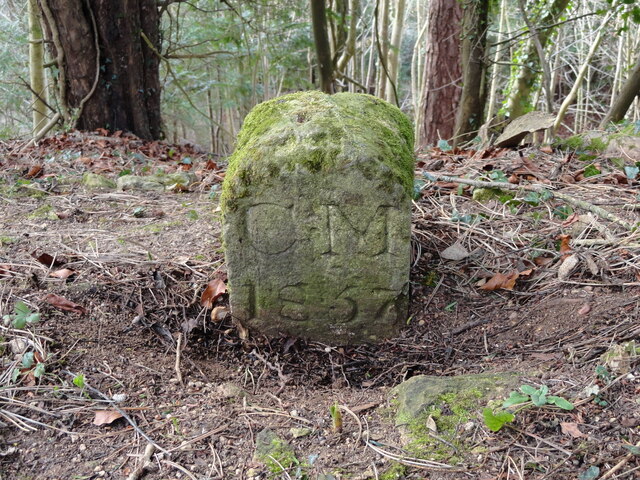
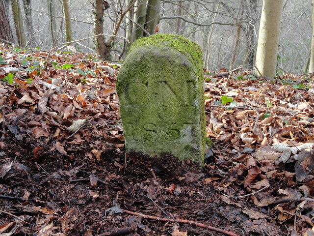
Short Wood has a long history, with evidence of human activity dating back to prehistoric times. There are remnants of ancient settlements and iron mines, which provide archaeological interest to the area. The woodland has also played a significant role in the local economy, providing timber for various industries over the years.
Overall, Short Wood is a cherished natural treasure within the Forest of Dean, offering visitors a chance to connect with nature, enjoy peaceful walks, and discover the rich history and diverse wildlife of Gloucestershire.
If you have any feedback on the listing, please let us know in the comments section below.
Short Wood Images
Images are sourced within 2km of 51.847785/-2.0978552 or Grid Reference SO9316. Thanks to Geograph Open Source API. All images are credited.

Short Wood is located at Grid Ref: SO9316 (Lat: 51.847785, Lng: -2.0978552)
Administrative County: Gloucestershire
District: Cotswold
Police Authority: Gloucestershire
What 3 Words
///tangent.evolving.singles. Near Shurdington, Gloucestershire
Nearby Locations
Related Wikis

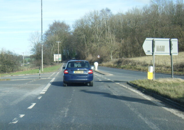
The Air Balloon, Birdlip
The Air Balloon is a road junction and former pub Birdlip, Gloucestershire, England. The junction is on the A417 at a significant congestion point. The...
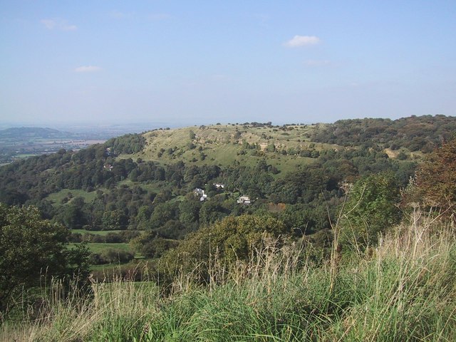
Crickley Hill and Barrow Wake
Crickley Hill and Barrow Wake (grid reference SO929161 & grid reference SO931154) is a 56.8-hectare (140-acre) biological and geological Site of Special...

Ullenwood
Ullenwood is a village in the Coberley civil parish, near Cheltenham in Gloucestershire. It is the site of a formerly secret civil defence bunker intended...

National Star College
The National Star College (previously known as the Star Centre) is an independent specialist further education college for people with physical disabilities...
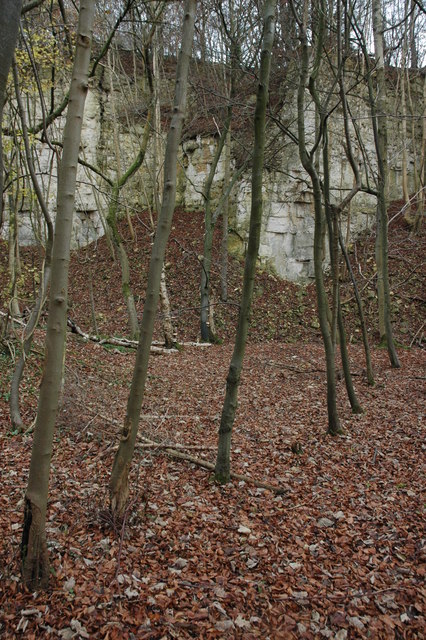
Knap House Quarry, Birdlip
Knap House Quarry, Birdlip (grid reference SO925147) is a 1.80-hectare (4.4-acre) geological Site of Special Scientific Interest in Gloucestershire, notified...

Barrow Wake
Barrow Wake is a scenic view in Gloucestershire, near Birdlip, England. Barrow Wake was used as the location for the music video "Wytches" by Pagan Rock...

Devil's Chimney (Gloucestershire)
The Devil's Chimney is a limestone rock formation that stands above a disused quarry in Leckhampton, near Cheltenham, Gloucestershire, England. It is named...
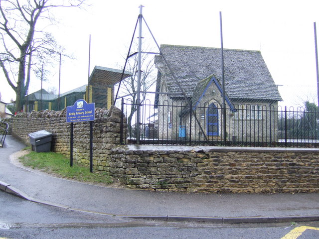
Birdlip
Birdlip is a village and civil parish, in the Cotswold district, in the county of Gloucestershire, England. It is in the Cotswolds Area of Outstanding...
Nearby Amenities
Located within 500m of 51.847785,-2.0978552Have you been to Short Wood?
Leave your review of Short Wood below (or comments, questions and feedback).