Ardo

Settlement in Aberdeenshire

Scotland

Ardo

Lots of road instructions here
Lots of road instructions here Credit: Ralph Greig

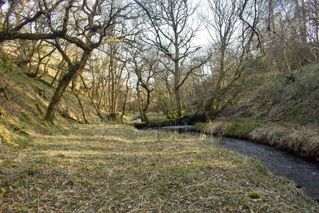
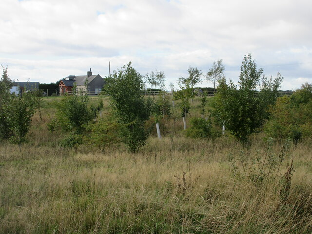
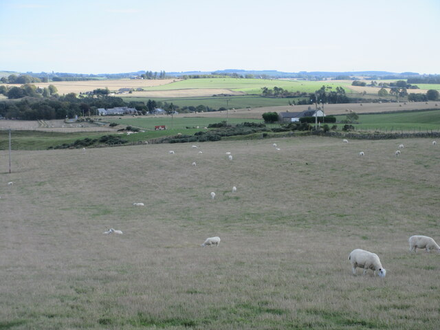
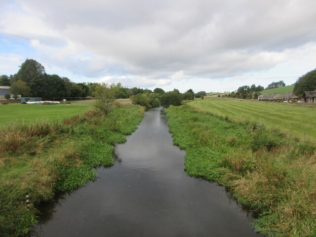
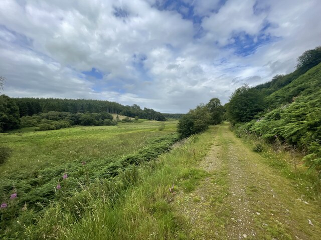
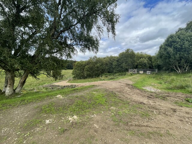
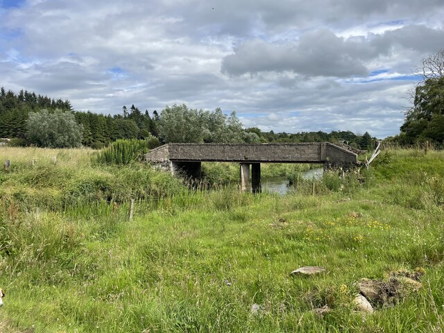
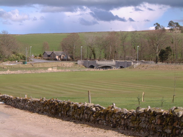
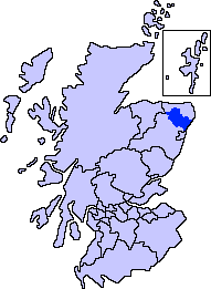
Ardo is a small village located in the Aberdeenshire region of Scotland, nestled amidst the picturesque countryside. Situated approximately 8 miles southwest of the town of Inverurie, Ardo is known for its serene and tranquil atmosphere. The village is surrounded by rolling hills, lush green fields, and offers breathtaking views of the nearby River Don.

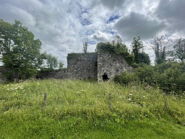
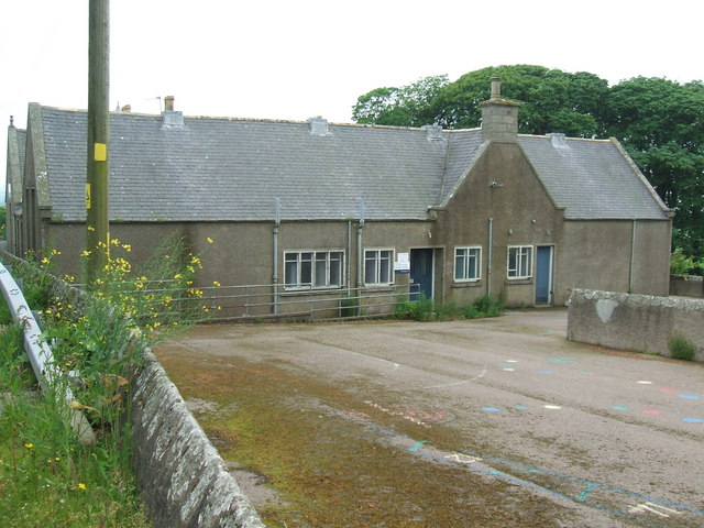
Ardo is home to a close-knit community, with a population of around 200 residents. The village boasts a quaint charm and a rich history, evident in its traditional architecture and well-preserved buildings. The local economy primarily revolves around agriculture, with many residents engaged in farming and livestock rearing.

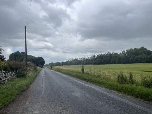
In terms of amenities, Ardo has limited facilities within the village itself. However, the nearby town of Inverurie provides access to a wider range of services, including shops, supermarkets, schools, and healthcare facilities. The village is well-connected to the surrounding areas by road, with regular bus services available for residents and visitors.

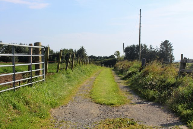
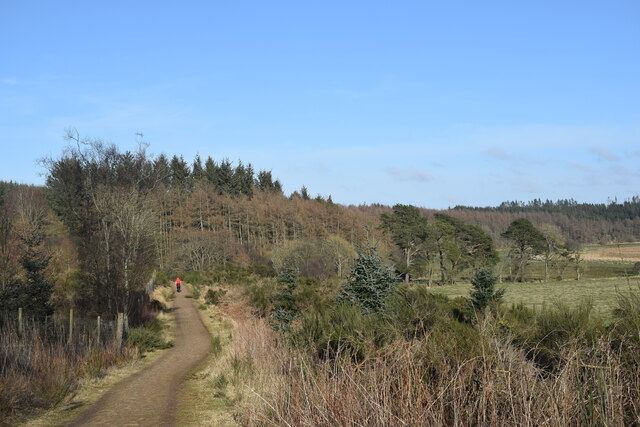
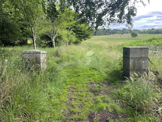
For those seeking outdoor activities, Ardo offers an abundance of opportunities. The surrounding countryside is ideal for hiking, cycling, and exploring nature trails. The River Don also provides opportunities for fishing and boating enthusiasts.

Overall, Ardo offers a peaceful and idyllic lifestyle for its residents, with its stunning natural surroundings and strong sense of community. It is a place where one can escape the hustle and bustle of city life and enjoy the beauty of rural Scotland.

If you have any feedback on the listing, please let us know in the comments section below.
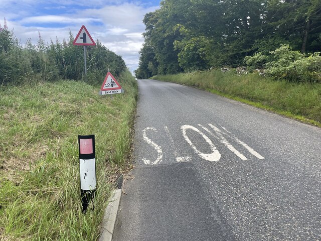
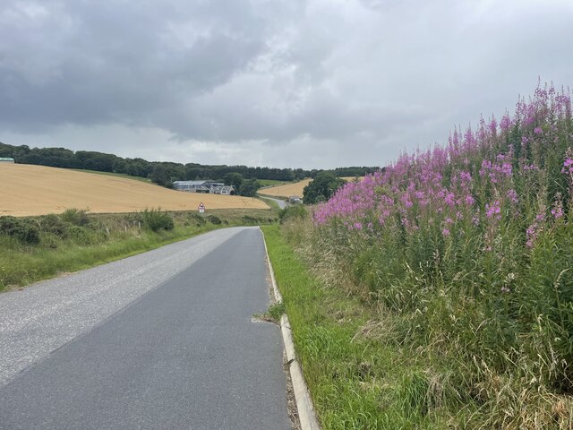
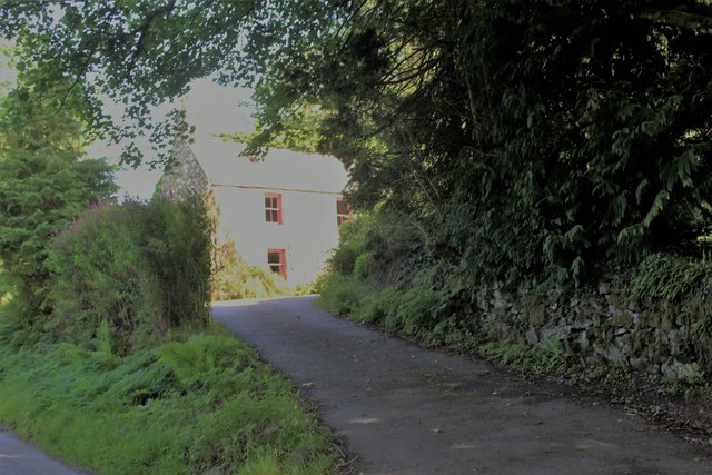
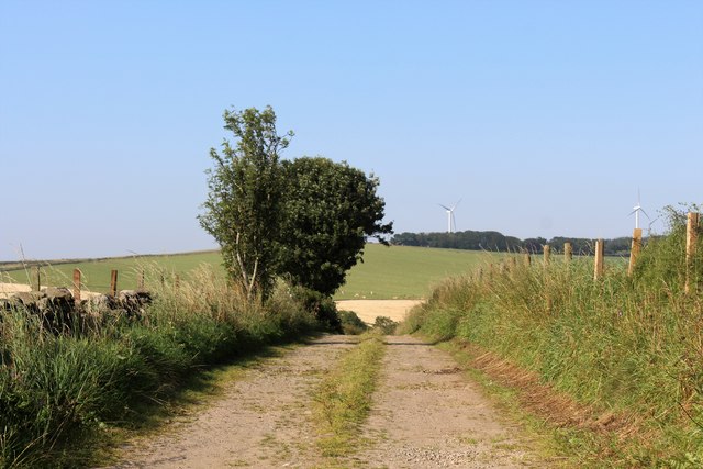
Ardo Images

Images are sourced within 2km of 57.442546/-2.261086 or Grid Reference NJ8439. Thanks to Geograph Open Source API. All images are credited.

Lots of road instructions here
Road to Fyvie
Road to Fyvie
Waterside of Gight Waterside with a narrow access and sheltering trees.
Waterside of Gight
Waterside with a narrow access and sheltering trees.
Harvest by North Ardo Farming activity by North Ardo.
Harvest by North Ardo
Farming activity by North Ardo.
Fordmouth Road The access to Fordmouth which lies over the hill in the next square north. The pylons and woodland in the distance are on the Hill of Balquhindachy.
Fordmouth Road
The access to Fordmouth which lies over the hill in the next square north. The pylons and woodland in the distance are on the Hill of Balquhindachy.
Fore Den The woodland of Fore Den and the access to Meikle Ardo Croft.
Fore Den
The woodland of Fore Den and the access to Meikle Ardo Croft.
Beside the Burn of Stonehouse Its confluence with the River Ythan is a few hundred metres downstream but here it passes through a deep valley, almost a ravine.
Beside the Burn of Stonehouse
Its confluence with the River Ythan is a few hundred metres downstream but here it passes through a deep valley, almost a ravine.
Walking the path... ...through Badiebath Wood.   According to Celtic Place-names in Aberdeenshire by John Milne, 'Badiebath' means 'grove of birch trees'.
Walking the path...
...through Badiebath Wood. According to Celtic Place-names in Aberdeenshire by John Milne, 'Badiebath' means 'grove of birch trees'.
Plantation at Toddlehills New trees planted near the roadside at Toddlehills Croft.
Plantation at Toddlehills
New trees planted near the roadside at Toddlehills Croft.
Sheep west of Methlick Field of sheep between the Crofts of Haddo and Methlick.
Sheep west of Methlick
Field of sheep between the Crofts of Haddo and Methlick.
River Ythan The River Ythan looking upstream from Methlick Bridge.
River Ythan
The River Ythan looking upstream from Methlick Bridge.
Gight Castle The ruins of the castle from under an old tree where I would recommend you have your picnic.
Gight Castle
The ruins of the castle from under an old tree where I would recommend you have your picnic.
Old Road into Gight
Old Road into Gight
Gight Castle
Gight Castle
Paths of Gight
Paths of Gight
New Road Doesn't go anywhere
New Road
Doesn't go anywhere
Bridge over the Ythan
Road to Methlick
Road to Methlick
Show me another place!

Ardo is located at Grid Ref: NJ8439 (Lat: 57.442546, Lng: -2.261086)

Unitary Authority: Aberdeenshire

Police Authority: North East

What 3 Words

///scooped.brisk.spider. Near Oldmeldrum, Aberdeenshire

Nearby Locations

Black Stank Ardo

Related Wikis

Nearby Amenities

Located within 500m of 57.442546,-2.261086
Power: pole
Lat/Long: 57.4419407/-2.2604092
Power: pole
Lat/Long: 57.4419838/-2.2590979
Power: pole
Lat/Long: 57.4418137/-2.2578359
Power: pole
Lat/Long: 57.4416944/-2.2568837
Power: pole
Lat/Long: 57.441214/-2.2560588
Power: pole
Lat/Long: 57.4407579/-2.2552667
Power: pole
Lat/Long: 57.4403051/-2.2545854
The data included in this document is from www.openstreetmap.org. The data is made available under ODbL.

Have you been to Ardo?

Leave your review of Ardo below (or comments, questions and feedback).