Birches Wood
Wood, Forest in Cheshire
England
Birches Wood
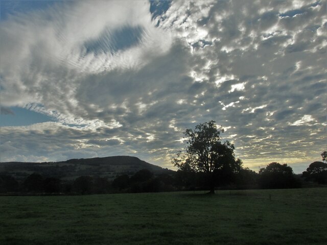
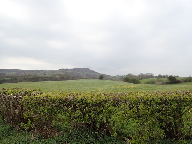
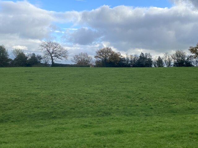
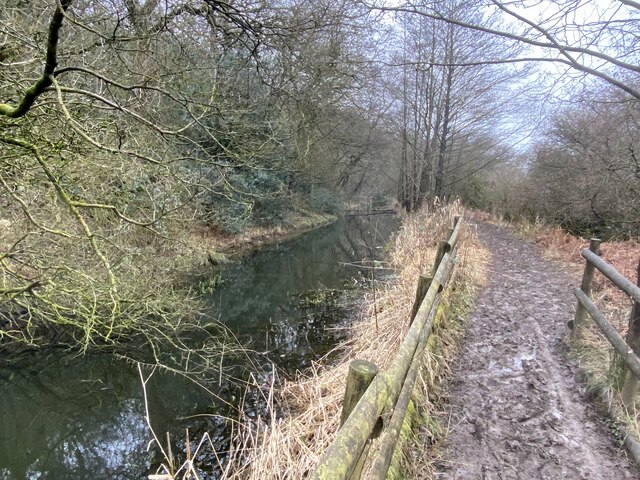
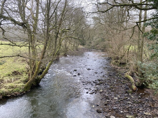
Birches Wood, located in Cheshire, England, is a picturesque woodland area known for its stunning natural beauty and diverse ecosystem. Covering an area of approximately 100 acres, this wood is a haven for wildlife and a popular destination for nature enthusiasts and hikers.
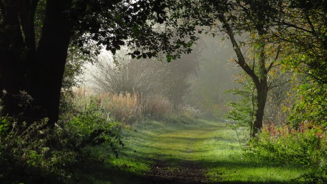
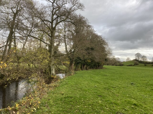
The wood is predominantly made up of birch trees, which give it its name, although there are also other species such as oak, ash, and beech trees that contribute to the rich biodiversity of the area. The tall and slender birch trees create a unique and enchanting atmosphere, especially in spring when their delicate leaves emerge and cast a dappled light on the forest floor.
Walking through Birches Wood, visitors will be captivated by the tranquil surroundings and the various wildlife that call this place home. It is not uncommon to spot a variety of bird species, including woodpeckers, owls, and various songbirds. The wood is also home to small mammals such as squirrels, rabbits, and hedgehogs, as well as a variety of insects and butterflies.
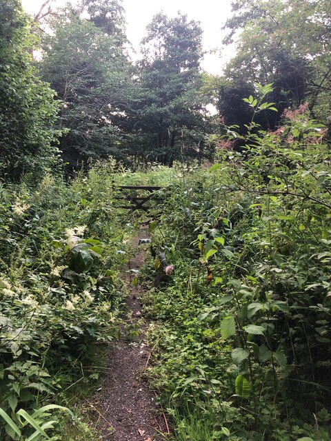
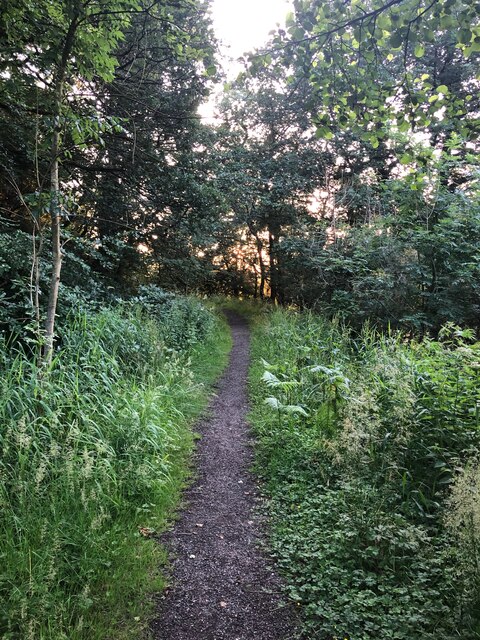
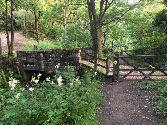
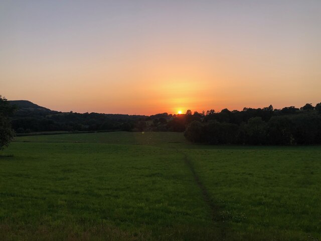
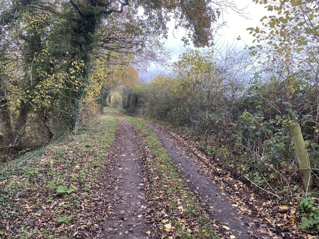
The wood is crisscrossed by a network of well-maintained footpaths, making it easily accessible for visitors to explore and enjoy. These paths lead visitors through a varied landscape, including open glades, dense woodland, and bubbling streams. There are also designated picnic areas and benches where visitors can relax and take in the serene surroundings.
Birches Wood is not only a beautiful natural area but also an important habitat for many species. It offers a peaceful retreat for those seeking solace in nature, as well as a valuable educational resource for those interested in learning about the local flora and fauna.
If you have any feedback on the listing, please let us know in the comments section below.
Birches Wood Images
Images are sourced within 2km of 53.170793/-2.101415 or Grid Reference SJ9363. Thanks to Geograph Open Source API. All images are credited.
Birches Wood is located at Grid Ref: SJ9363 (Lat: 53.170793, Lng: -2.101415)
Unitary Authority: Cheshire East
Police Authority: Cheshire
What 3 Words
///hopefully.into.yappy. Near Eaton, Cheshire
Nearby Locations
Related Wikis
Rushton railway station
Rushton Spencer railway station was a railway station that served the village of Rushton Spencer, Staffordshire. The station was opened by the North Staffordshire...

Rushton, Staffordshire
Rushton is a civil parish in Staffordshire, England. The village within the civil parish, usually known as Rushton Spencer, is about 4 miles (6.4 km) north...
Heaton, Staffordshire
Heaton is a small village and civil parish in Staffordshire, England. It is about 4 miles (6.4 km) north of Leek and about 7 miles (11 km) south of Macclesfield...

Bosley
Bosley is a village and civil parish in Cheshire, England. At the 2001 census, it had a population of 406. The village is on the A523 road near to where...
Church of St Mary the Virgin, Bosley
The Church of St Mary the Virgin is in Leek Road, Bosley, Cheshire, England. It is recorded in the National Heritage List for England as a designated Grade...
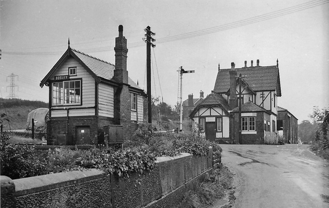
Bosley railway station
Bosley railway station served the village of Bosley, Cheshire. The station was opened by the North Staffordshire Railway in September 1849 as part of the...
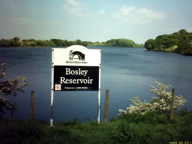
Bosley Reservoir
Bosley Reservoir is a large reservoir created to feed the Macclesfield Canal system, specifically the twelve Bosley locks. It is fed from the surrounding...

The Cloud (hill)
The Cloud or Bosley Cloud is a prominent hill on the border between Cheshire and Staffordshire a couple of miles west of the Peak District National Park...
Nearby Amenities
Located within 500m of 53.170793,-2.101415Have you been to Birches Wood?
Leave your review of Birches Wood below (or comments, questions and feedback).