Swinerood Wood
Wood, Forest in Cheshire
England
Swinerood Wood
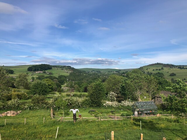
Swinerood Wood, located in the county of Cheshire, England, is a picturesque woodland area that spans approximately 200 acres. It is situated near the village of Swinerood, nestled amidst the rolling countryside of Cheshire. The wood is primarily composed of a mixture of broadleaf trees, including oak, beech, and ash, creating a rich and diverse ecosystem.
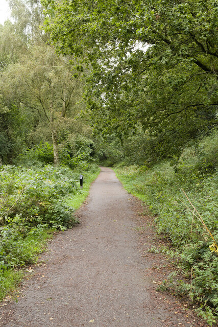
The wood boasts a network of well-maintained footpaths and trails that meander through its verdant landscape, providing visitors with the opportunity to explore its natural beauty. These paths cater to both casual walkers and more experienced hikers, offering varying levels of difficulty and length. The wood is particularly popular among nature enthusiasts and families seeking a tranquil retreat from the bustling city life.
Swinerood Wood is home to a wide array of flora and fauna, including various species of birds, mammals, and insects. The dense canopy of trees provides a habitat for woodland birds, such as woodpeckers, owls, and thrushes, while the forest floor supports a diverse range of wildflowers, ferns, and fungi.
The wood also features a small stream that meanders through its heart, enhancing its natural beauty and providing a source of water for the local wildlife. Additionally, there are several picnic areas and benches strategically placed throughout the wood, allowing visitors to relax and enjoy the peaceful surroundings.
Swinerood Wood is rich in history and has been a significant part of the local landscape for centuries. It offers a haven for nature lovers, providing a tranquil retreat where visitors can immerse themselves in the beauty of the natural world.
If you have any feedback on the listing, please let us know in the comments section below.
Swinerood Wood Images
Images are sourced within 2km of 53.299835/-2.1024564 or Grid Reference SJ9378. Thanks to Geograph Open Source API. All images are credited.


Swinerood Wood is located at Grid Ref: SJ9378 (Lat: 53.299835, Lng: -2.1024564)
Unitary Authority: Cheshire East
Police Authority: Cheshire
What 3 Words
///senders.code.winds. Near Bollington, Cheshire
Nearby Locations
Related Wikis

Clarence Mill
Clarence Mill is a five-storey former cotton spinning mill in Bollington, Cheshire, in England. It was built between 1834 and 1877 for the Swindells family...
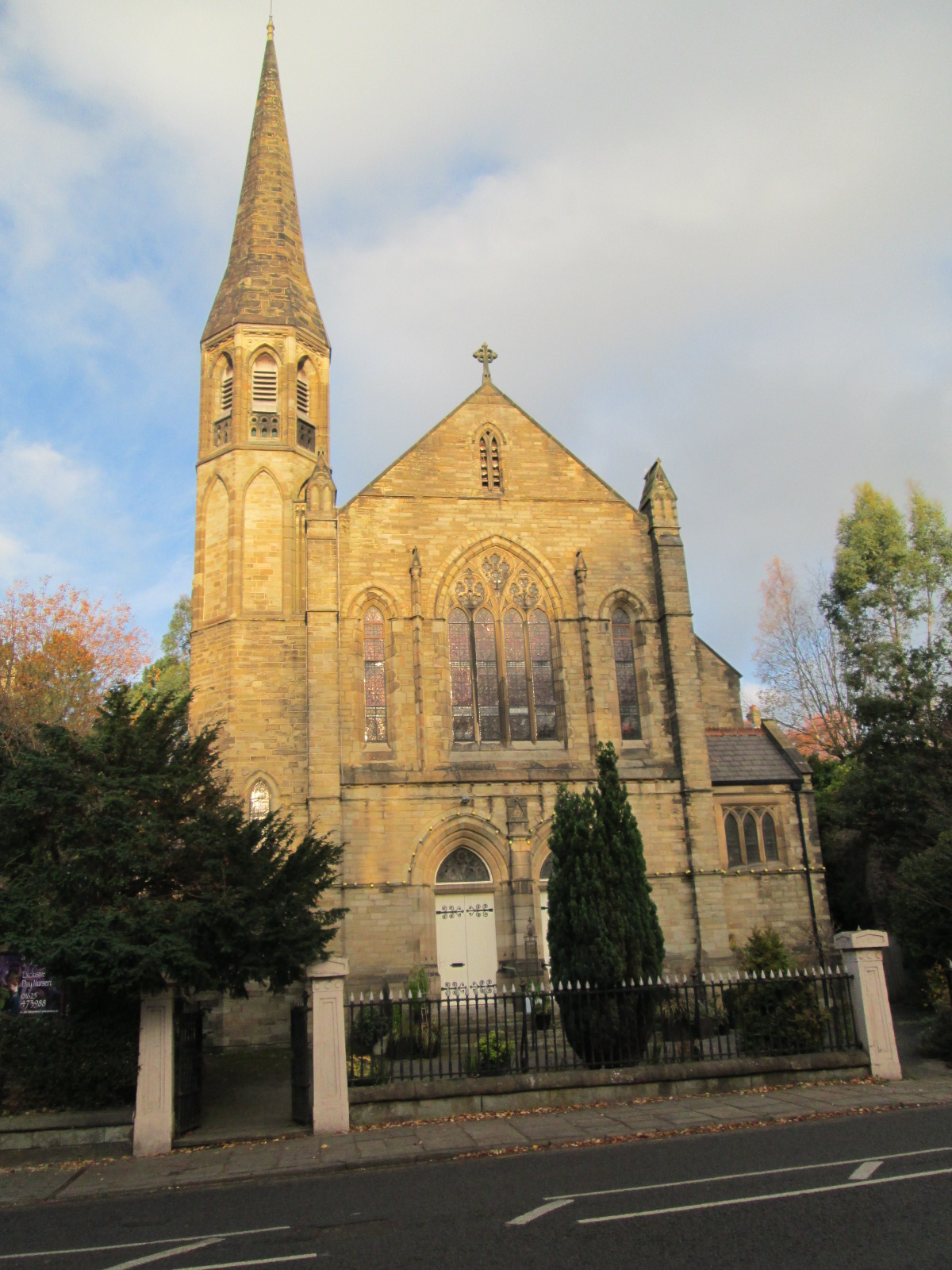
Bollington Methodist Church
Bollington Methodist Church is located in Wellington Road, Bollington, Cheshire, England. The church is recorded in the National Heritage List for England...

Limefield
Limefield is a house standing to the north of Bollington, Cheshire, England. It was built in about 1830 for Joseph Brook. It is constructed in ashlar...
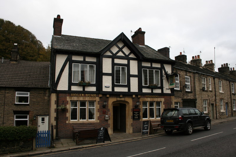
Holly Bush, Bollington
The Holly Bush is a public house at 75 Palmerston Street, Bollington, Macclesfield, Cheshire, England. It is recorded in the National Heritage List for...
Hollin Old Hall
Hollin Old Hall is a house in Bollington, Cheshire, England. The oldest part of the house dates from the seventeenth century. In the middle of the eighteenth...

Bollington Urban District
Bollington is a former Urban District in Cheshire, based in the town of Bollington. It was created in 1894 and abolished in 1974 when it was incorporated...
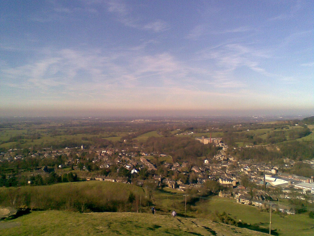
Bollington
Bollington is a town and civil parish in Cheshire, England, to the east of Prestbury. In the Middle Ages, it was part of the Earl of Chester's manor of...

St John the Baptist's Church, Bollington
St John the Baptist's Church is a redundant Anglican parish church in Church Street, Bollington, Cheshire, England. It is recorded in the National Heritage...
Nearby Amenities
Located within 500m of 53.299835,-2.1024564Have you been to Swinerood Wood?
Leave your review of Swinerood Wood below (or comments, questions and feedback).