Hazleton Fox Covert

Wood, Forest in Gloucestershire Cotswold

England

Hazleton Fox Covert

Stone Stile, Rodmarton Just North of Oathill Lane crossroads on Gloucestershire footpath BRO9, looking NE. The view looking into the copse is <a href="https://www.geograph.org.uk/photo/7157012">ST9397 : Stone Stile, Rodmarton</a>.
Stone Stile, Rodmarton Credit: Mr Red

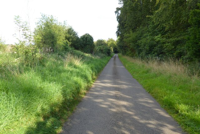
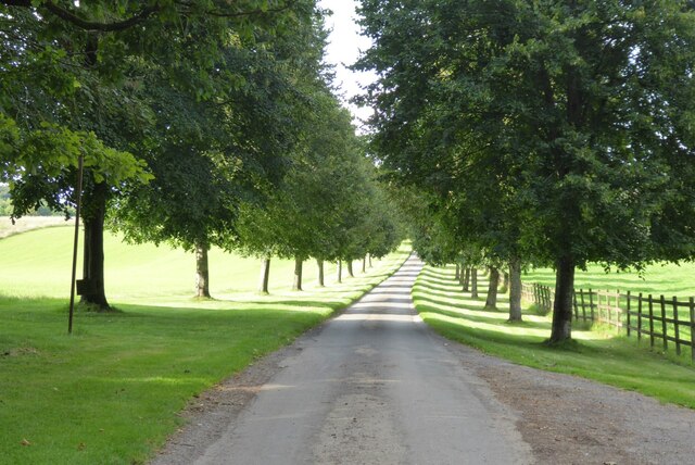
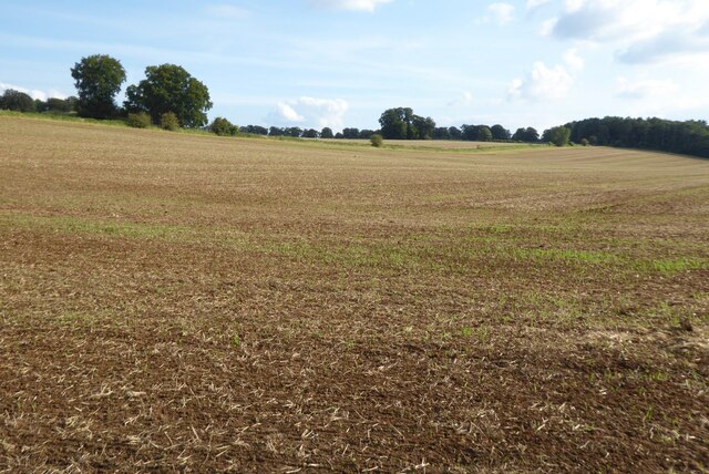
Hazleton Fox Covert is a picturesque woodland located in the county of Gloucestershire, England. Situated within the larger Forest of Dean, this enchanting woodland covers an area of approximately 200 acres. The woodland is predominantly composed of a mixture of deciduous and coniferous trees, creating a diverse and vibrant ecosystem.

One of the defining features of Hazleton Fox Covert is its stunning display of wildlife. The woodland is home to a variety of species, including foxes, badgers, deer, and an array of bird species. Birdwatchers and nature enthusiasts can often spot birds such as woodpeckers, owls, and various songbirds within the woodland's peaceful surroundings.

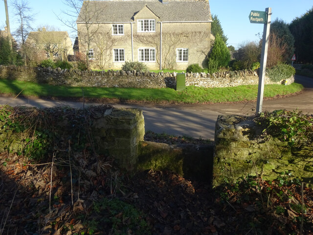
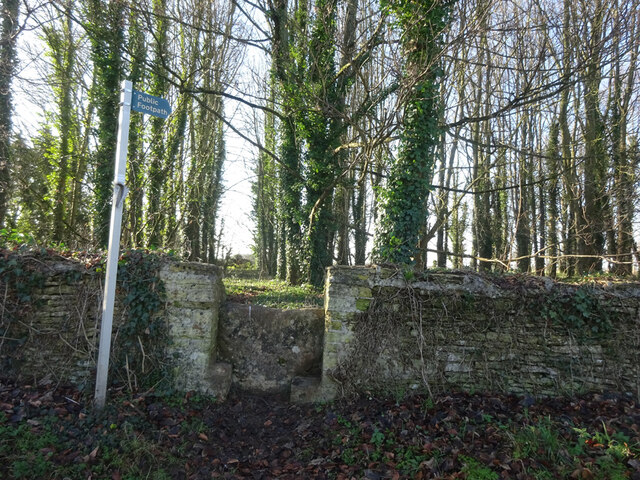
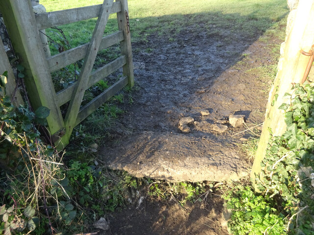
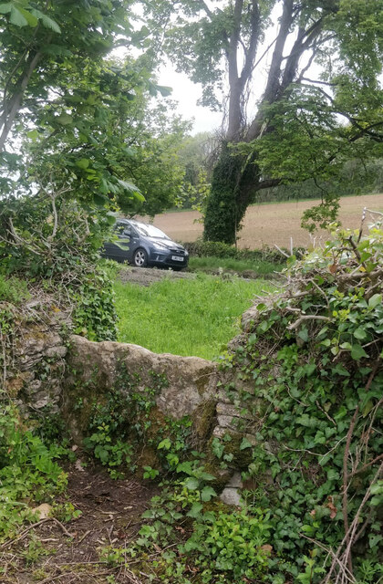
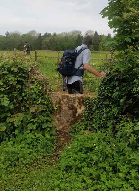
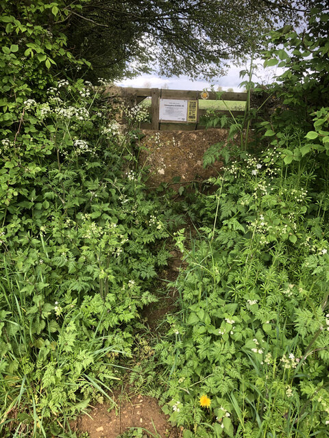
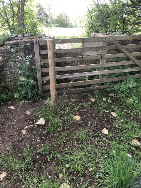
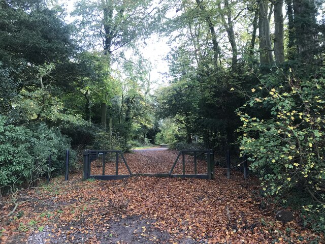
The woodland offers a tranquil escape for visitors, with its well-maintained footpaths and peaceful atmosphere. Walking through Hazleton Fox Covert allows visitors to immerse themselves in nature, as the woodland provides a sense of serenity and tranquility. Explorers can wander through the forest, taking in the sights and sounds of the woodland, and perhaps stumble upon hidden streams or small ponds.

Hazleton Fox Covert is also a popular destination for outdoor activities such as hiking, photography, and picnicking. The woodland's natural beauty and abundance of wildlife make it a haven for photographers, while the well-marked trails cater to hikers of various skill levels.

Overall, Hazleton Fox Covert is a captivating woodland that offers a rich natural experience. Its diverse wildlife, peaceful atmosphere, and accessibility make it a popular destination for nature lovers and outdoor enthusiasts alike.

If you have any feedback on the listing, please let us know in the comments section below.

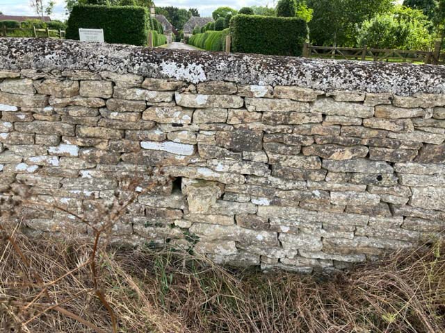
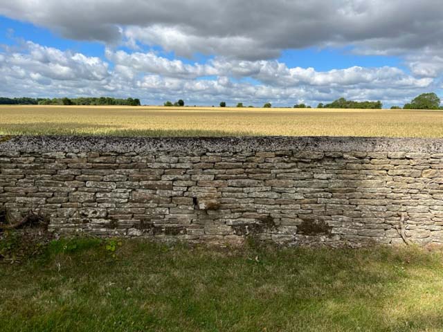
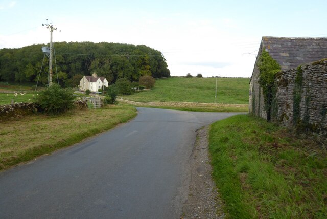
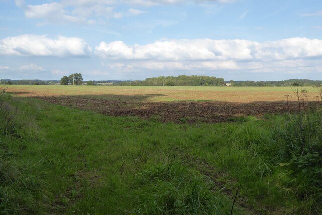
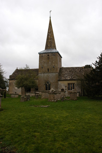
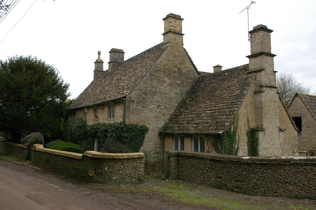
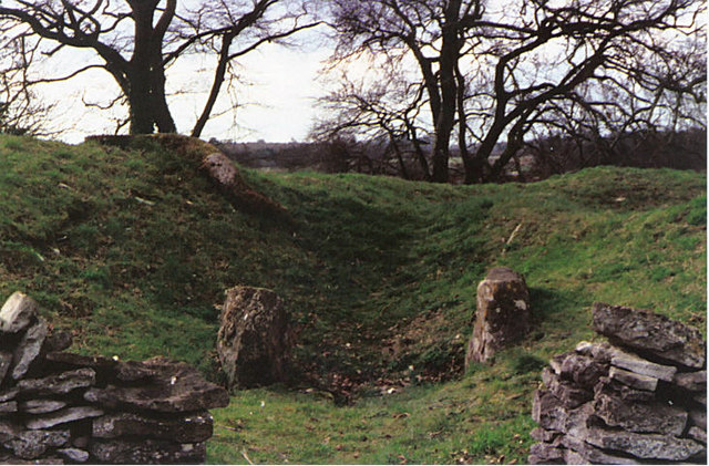
Hazleton Fox Covert Images

Images are sourced within 2km of 51.681485/-2.1000265 or Grid Reference ST9398. Thanks to Geograph Open Source API. All images are credited.

Stone Stile, Rodmarton Just North of Oathill Lane crossroads on Gloucestershire footpath BRO9, looking NE. The view looking into the copse is <a href="https://www.geograph.org.uk/photo/7157012">ST9397 : Stone Stile, Rodmarton</a>.
Stone Stile, Rodmarton
Just North of Oathill Lane crossroads on Gloucestershire footpath BRO9, looking NE. The view looking into the copse is ST9397 : Stone Stile, Rodmarton.
Stone Stile, Rodmarton Just North of Oathill Lane crossroads on Gloucestershire footpath BRO9, looking SW. The view looking from the copse is <a href="https://www.geograph.org.uk/photo/7157011">ST9397 : Stone Stile, Rodmarton</a>.
Stone Stile, Rodmarton
Just North of Oathill Lane crossroads on Gloucestershire footpath BRO9, looking SW. The view looking from the copse is ST9397 : Stone Stile, Rodmarton.
Stone Stile, Rodmarton A "Fallen Idle". The remains of a stone slab that would have served as a stile before that gate was put in. On Gloucestershire footpath BRO11, looking from the road.
Stone Stile, Rodmarton
A "Fallen Idle". The remains of a stone slab that would have served as a stile before that gate was put in. On Gloucestershire footpath BRO11, looking from the road.
Stone Stile, Culkerton From the Northern side of the A433 on Gloucestershire footpath NCH9 looking to the road. The view from the road is <a href="https://www.geograph.org.uk/photo/7228263">ST9296 : Stone Stile, Culkerton</a>.
Stone Stile, Culkerton
From the Northern side of the A433 on Gloucestershire footpath NCH9 looking to the road. The view from the road is ST9296 : Stone Stile, Culkerton.
Stone Stile, Culkerton From the Northern side of the A433 on Gloucestershire footpath NCH9 looking to the road. The view from the road is <a href="https://www.geograph.org.uk/photo/7228261">ST9296 : Stone Stile, Culkerton</a>.
Stone Stile, Culkerton
From the Northern side of the A433 on Gloucestershire footpath NCH9 looking to the road. The view from the road is ST9296 : Stone Stile, Culkerton.
Stone Stile, Culkerton On Gloucestershire footpath NAS1 leading from the A433 to Culkerton Village. This view looks SE towards the village. The view looking NW to the disused Kemble to Tetbury branch line is <a href="https://www.geograph.org.uk/photo/7233146">ST9296 : Stone Stile, Culkerton</a>.
Stone Stile, Culkerton
On Gloucestershire footpath NAS1 leading from the A433 to Culkerton Village. This view looks SE towards the village. The view looking NW to the disused Kemble to Tetbury branch line is ST9296 : Stone Stile, Culkerton.
Stone Stile, Culkerton On Gloucestershire footpath NAS1 leading from the A433 to Culkerton Village. This view looks NW to the disused Kemble to Tetbury branch line. The view looking towards the village is <a href="https://www.geograph.org.uk/photo/7233144">ST9296 : Stone Stile, Culkerton</a>.
Stone Stile, Culkerton
On Gloucestershire footpath NAS1 leading from the A433 to Culkerton Village. This view looks NW to the disused Kemble to Tetbury branch line. The view looking towards the village is ST9296 : Stone Stile, Culkerton.
By-way gate
By-way gate
Stone Stile, Rodmarton A private step stile for Rodmarton Manor. This looks East towards the Manor Drive, the view to the fields is <a href="https://www.geograph.org.uk/photo/7422355">ST9497 : Stone Stile, Rodmarton</a>.
Stone Stile, Rodmarton
A private step stile for Rodmarton Manor. This looks East towards the Manor Drive, the view to the fields is ST9497 : Stone Stile, Rodmarton.
Stone Stile, Rodmarton A private step stile for Rodmarton Manor. This looks West away for the Manor Drive, the view to the Manor is <a href="https://www.geograph.org.uk/photo/7422353">ST9497 : Stone Stile, Rodmarton</a>.
Stone Stile, Rodmarton
A private step stile for Rodmarton Manor. This looks West away for the Manor Drive, the view to the Manor is ST9497 : Stone Stile, Rodmarton.
Country road passing Lowesmoor Farm A fairly typical high Cotswold grid square with little in it other than farmland and a few isolated buildings.
Country road passing Lowesmoor Farm
A fairly typical high Cotswold grid square with little in it other than farmland and a few isolated buildings.
Farmland near Cherington
Country road to Rodmarton
Entrance to Hazleton Manor Farm Tree-lined drive to Hazleton Manor Farm.
Entrance to Hazleton Manor Farm
Tree-lined drive to Hazleton Manor Farm.
Arable field Arable field near Rodmarton.
Arable field
Arable field near Rodmarton.
Road Junction A433 near Culkerton
Rodmarton church Rodmarton church is dedicated to St Peter.
Rodmarton church
Rodmarton church is dedicated to St Peter.
Cottage in Rodmarton
Show me another place!

Hazleton Fox Covert is located at Grid Ref: ST9398 (Lat: 51.681485, Lng: -2.1000265)

Administrative County: Gloucestershire

District: Cotswold

Police Authority: Gloucestershire

What 3 Words

///swerves.crescendo.awaiting. Near Avening, Gloucestershire

Nearby Locations

Hazleton Fox Covert

Related Wikis

Windmill Tump

Windmill Tump, also known as Rodmarton Chambered Tomb, is a Neolithic burial site, a stone tumulus or barrow. It is a mound covering the site of graves...

Rodmarton

Rodmarton is a village and civil parish in Gloucestershire. == History == Evidence of a Roman settlement has been found at Rodmarton. Through the parish...

Rodmarton Manor

Rodmarton Manor is a large country house, in Rodmarton, near Cirencester, Gloucestershire, built for the Biddulph family. It is a Grade I listed building...

Trull House

Trull House is a Grade II listed country house near the hamlet of Trull, to the north of the village of Ashley and about 3.4 miles (5.5 km) northeast of...

Rodmarton Platform railway station

Rodmarton Platform was a railway station serving the village of Rodmarton on the Tetbury branch line between Cirencester and Tetbury in Gloucestershire...

Church's Hill Halt railway station

Church's Hill Halt railway station served the village of Ashley, Gloucestershire, England, from 1959 to 1964 on the Tetbury Branch Line. == History... ==

Culkerton Halt railway station

Culkerton Halt railway station served the hamlet of Culkerton, Gloucestershire, England, from 1889 to 1964 on the Tetbury Branch Line. == History == The...

Cherington, Gloucestershire

Cherington is a village and civil parish in the Cotswold District of Gloucestershire, England. It lies under 3 miles south east of Minchinhampton and 4...

Nearby Amenities

Located within 500m of 51.681485,-2.1000265
Archaeological Site: tumulus
Historic: archaeological_site
Source: NPE
Lat/Long: 51.6777205/-2.1027585
Power: pole
Lat/Long: 51.6821768/-2.0957333
Power: pole
Lat/Long: 51.6828237/-2.0958298
Power: pole
Lat/Long: 51.6835022/-2.0958781
Power: pole
Lat/Long: 51.6841408/-2.0959559
Power: pole
Lat/Long: 51.6847361/-2.0960283
Power: pole
Lat/Long: 51.6847544/-2.0978361
Power: pole
Lat/Long: 51.6847694/-2.0989895
Power: pole
Lat/Long: 51.684791/-2.1000007
Poles: bipole
Power: pole
Source: bing
Transformer: distribution
Lat/Long: 51.6836411/-2.1044243
Power: pole
Source: bing
Lat/Long: 51.6835763/-2.1051801
Post Box
Collection Times: Mo-Fr 16:00; Sa 10:00; Su off
Drive Through: no
Operator: Royal Mail
Post Box Type: wall
Ref: GL7 58
Royal Cypher: GVIR
Royal Cypher Wikidata: Q33102169
Source: survey
Lat/Long: 51.6832861/-2.103915
Power: pole
Source: bing
Lat/Long: 51.6834989/-2.1059163
The data included in this document is from www.openstreetmap.org. The data is made available under ODbL.

Have you been to Hazleton Fox Covert?

Leave your review of Hazleton Fox Covert below (or comments, questions and feedback).