Elias's Stot Wood
Wood, Forest in Yorkshire Richmondshire
England
Elias's Stot Wood
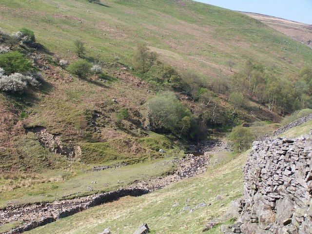
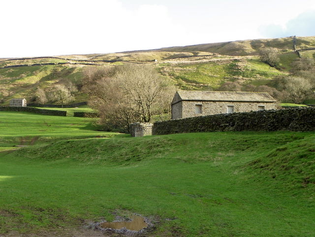
Elias's Stot Wood is a picturesque woodland area located in Yorkshire, England. Spread across a vast expanse, it is known for its natural beauty and diverse flora and fauna. The wood is situated in a rural setting, surrounded by rolling hills and open fields, providing a serene and tranquil atmosphere for visitors.
The woodland itself is primarily composed of ancient oak trees, which give the area a timeless and mystical feel. These majestic trees create a dense canopy, allowing only dappled sunlight to filter through, creating a unique and magical ambiance. Alongside the oaks, other tree species such as birch, beech, and ash can also be found, adding to the biodiversity of the forest.
Elias's Stot Wood is home to a variety of wildlife, making it a popular destination for nature enthusiasts and birdwatchers. Visitors may spot animals such as deer, foxes, badgers, and a variety of bird species, including woodpeckers, owls, and thrushes. The wood provides a safe habitat for these animals, with its diverse range of habitats, including clearings, ponds, and dense undergrowth.
For outdoor enthusiasts, the wood offers several walking trails, allowing visitors to explore its beauty at their own pace. These paths wind through the woodland, providing stunning views and opportunities to observe the local flora and fauna up close. Additionally, there are designated picnic areas and benches, where visitors can relax and take in the peaceful surroundings.
Elias's Stot Wood is a true gem of Yorkshire, offering a haven of natural beauty and tranquility for all who visit.
If you have any feedback on the listing, please let us know in the comments section below.
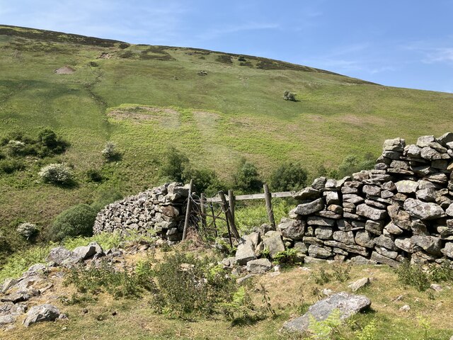
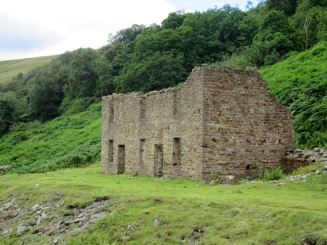
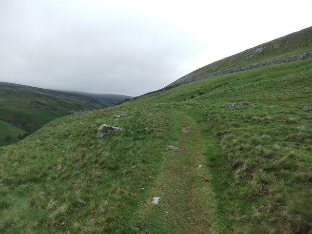
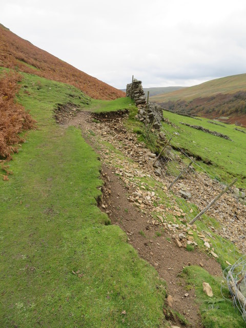
Elias's Stot Wood Images
Images are sourced within 2km of 54.382162/-2.1076189 or Grid Reference SD9398. Thanks to Geograph Open Source API. All images are credited.


Elias's Stot Wood is located at Grid Ref: SD9398 (Lat: 54.382162, Lng: -2.1076189)
Division: North Riding
Administrative County: North Yorkshire
District: Richmondshire
Police Authority: North Yorkshire
What 3 Words
///miss.providing.cycled. Near Bowes, Co. Durham
Nearby Locations
Related Wikis

Ivelet
Ivelet is a hamlet in the Yorkshire Dales, North Yorkshire, England about a mile west of Gunnerside in Swaledale. Ivelet Bridge crosses the River Swale...

Satron
Satron is a hamlet in Swaledale, North Yorkshire, England. It lies 0.6 miles (1 km) south west of Gunnerside on the opposite bank of the River Swale. It...

Gunnerside
Gunnerside is a village in North Yorkshire, England. It is situated in Swaledale, on the B6270 road, 3 miles (5 km) east of Muker and 6 miles (10 km) west...

Gunnerside Gill
Gunnerside Gill (or Ghyll) is a small valley in the Yorkshire Dales, England, which branches off Swaledale into moorland to the north of Gunnerside. The...

Muker
Muker is a village and civil parish at the western end of Swaledale in North Yorkshire, England, within the Yorkshire Dales. The parish includes the hamlets...

Arn Gill (North Yorkshire)
Arn Gill is a ravine or gully containing a beck of the same name, near the village of Muker in Swaledale, North Yorkshire, England. The ravine and beck...

Melbecks
Melbecks is a civil parish in North Yorkshire, England. It is located in upper Swaledale and covers the settlements of Gunnerside, Low Row, Feetham and...

Kisdon
Kisdon, also called Kisdon Hill, is a fell situated in upper Swaledale in the Yorkshire Dales National Park in North Yorkshire, England. == Geography... ==
Nearby Amenities
Located within 500m of 54.382162,-2.1076189Have you been to Elias's Stot Wood?
Leave your review of Elias's Stot Wood below (or comments, questions and feedback).