Withybed Copse

Wood, Forest in Wiltshire

England

Withybed Copse

Open fields north east of Melksham
Open fields north east of Melksham Credit: Doug Lee

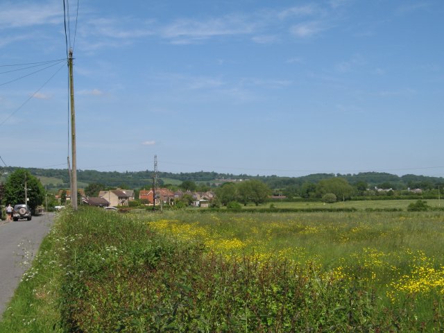
Withybed Copse is a small woodland located in the county of Wiltshire, England. Situated in the southern part of the county, it is approximately 6 miles southeast of the town of Devizes. The copse covers an area of around 15 acres and is a designated Site of Special Scientific Interest (SSSI).

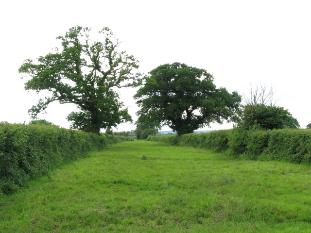
The woodland is characterized by its diverse range of tree species, including oak, ash, beech, and hazel. Withybed Copse is particularly known for its ancient trees, some of which are estimated to be over 400 years old. These ancient trees provide a habitat for a variety of wildlife, including birds such as woodpeckers, tawny owls, and great tits.

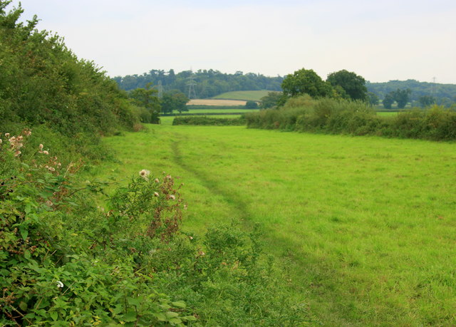
The woodland floor is covered with a rich carpet of wildflowers, including bluebells, primroses, and wood anemones, which bloom in the spring and add a burst of color to the copse. Withybed Copse also features a small stream that runs through its heart, attracting small mammals such as voles and shrews.

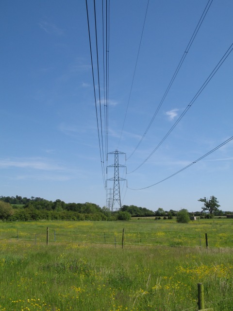
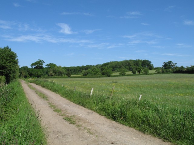
The copse is a popular destination for nature lovers and walkers, who can explore the network of footpaths that crisscross the woodland. These paths offer stunning views of the surrounding countryside and provide an opportunity to experience the peace and tranquility of the natural environment.

Managed by the local authority, Withybed Copse is carefully preserved to maintain its ecological importance and to provide a valuable recreational space for the local community.

If you have any feedback on the listing, please let us know in the comments section below.

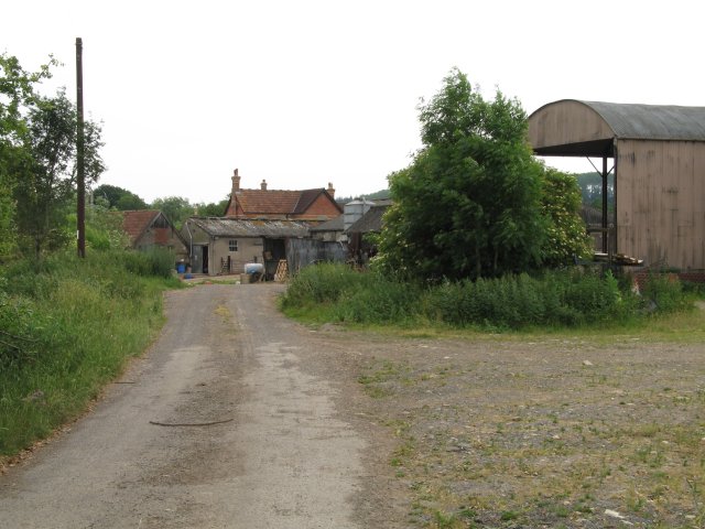
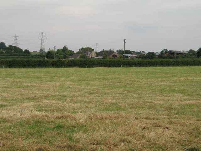
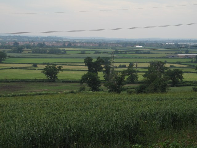
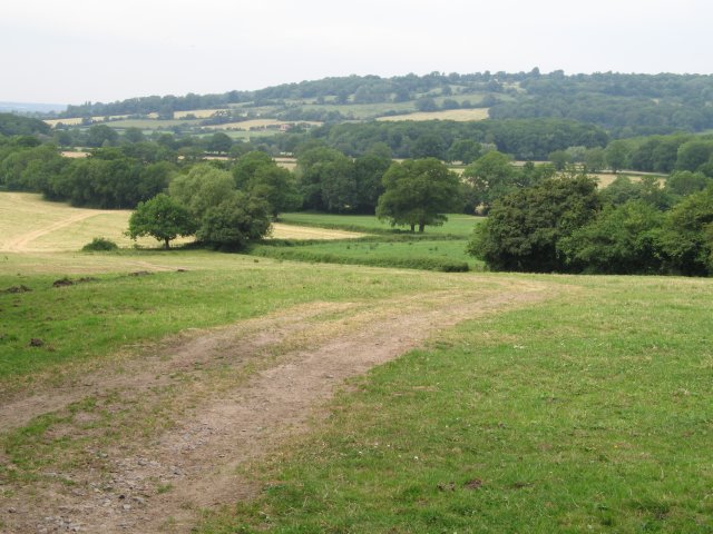
Withybed Copse Images

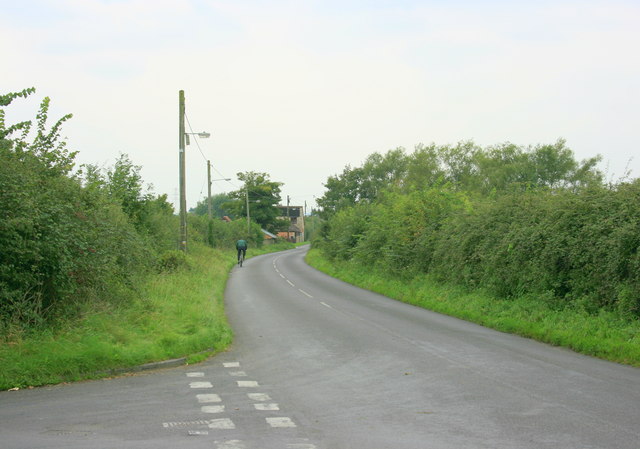
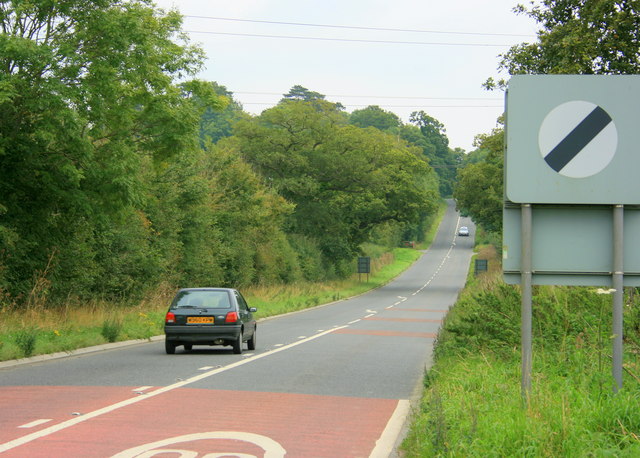
Images are sourced within 2km of 51.385321/-2.1057437 or Grid Reference ST9265. Thanks to Geograph Open Source API. All images are credited.

Open fields north east of Melksham
Woodrow Road and fields
Pylons over open countryside View southeast at the junction of Woodrow Road (National Cycle Route 4) and New Road
Pylons over open countryside
View southeast at the junction of Woodrow Road (National Cycle Route 4) and New Road
Fields of buttercups
Byway and open fields
St Andrews Church on Church Lane One of two churches on Church Lane - the other being a methodist chapel
St Andrews Church on Church Lane
One of two churches on Church Lane - the other being a methodist chapel
Snarlton Farm
Snarlton Farm
Bridleway - possible old drove road This rather impressive bridle way is presumably an old drove road.  It runs from Snarlton Farm <a href="https://www.geograph.org.uk/gridref/ST9263">ST9263</a> to the Redstocks <a href="https://www.geograph.org.uk/gridref/ST9362">ST9362</a> although just south of this position it becomes somewhat overgrown
Bridleway - possible old drove road
This rather impressive bridle way is presumably an old drove road. It runs from Snarlton Farm ST9263 to the Redstocks ST9362 although just south of this position it becomes somewhat overgrown
Hack Farm
Hack Farm
Field near Blackmore Farm
View over crops towards Bowerhill
View from the end of Sandridge Lane
Halfway Farm A view looking west across the A350 towards the farmyard at Halfway Farm.
Halfway Farm
A view looking west across the A350 towards the farmyard at Halfway Farm.
2008 : Footpath to Queenfield A quiet unmetalled lane now downgraded to a footpath.
2008 : Footpath to Queenfield
A quiet unmetalled lane now downgraded to a footpath.
2008 : Lane from Melksham to the back of beyond A nice quiet place to live. The lane to the left joins the A3102 in just over 1Km.
2008 : Lane from Melksham to the back of beyond
A nice quiet place to live. The lane to the left joins the A3102 in just over 1Km.
2008 : The A3102 eastbound About to climb Sandridge Hill heading for Calne. Melksham is about 3km behind.
2008 : The A3102 eastbound
About to climb Sandridge Hill heading for Calne. Melksham is about 3km behind.
2008 : Pasture and footpath near Little Snarlton Farm Sandridge Park is to the left on the far hill.
2008 : Pasture and footpath near Little Snarlton Farm
Sandridge Park is to the left on the far hill.
2008 : Wheat field near Bowden Hill A sorry sight. The wheat should have been harvested a month ago but the poor weather made it impossible. If the farmer is able to salvage anything from this it will probably go for animal feed at a much reduced price.
Bowden Hill rises in the distance.
2008 : Wheat field near Bowden Hill
A sorry sight. The wheat should have been harvested a month ago but the poor weather made it impossible. If the farmer is able to salvage anything from this it will probably go for animal feed at a much reduced price. Bowden Hill rises in the distance.
Show me another place!

Withybed Copse is located at Grid Ref: ST9265 (Lat: 51.385321, Lng: -2.1057437)

Unitary Authority: Wiltshire

Police Authority: Wiltshire

What 3 Words

///niece.fingertip.jousting. Near Melksham, Wiltshire

Nearby Locations

Withybed Copse

Related Wikis

Melksham Without

Melksham Without is a civil parish in the county of Wiltshire, England. It surrounds, but does not include, the town of Melksham and is the largest rural...

Sandridge, Wiltshire

Sandridge is a dispersed rural community to the east of Melksham, Wiltshire, England. It is part of the civil parish of Melksham Without. An Ordnance...

Melksham Town F.C.

Melksham Town Football Club is a football club based in Melksham, Wiltshire, England. Affiliated to the Wiltshire Football Association, they are currently...

Ebenezer Chapel, Melksham

The Ebenezer Chapel is a Baptist place of worship in the town of Melksham in the English county of Wiltshire. The chapel was built in 1835. It has been...

Nearby Amenities

Located within 500m of 51.385321,-2.1057437
Colour: grey
Height: 48.06
Material: metal
Operator: National Grid
Operator Wikidata: Q1465461
Power: tower
Ref: YYM012
Source: Bing
Start Date: 1957
Structure: lattice
Lat/Long: 51.3846334/-2.1071448
Colour: grey
Height: 42.73
Material: metal
Operator: National Grid
Operator Wikidata: Q1465461
Power: tower
Ref: YYM011
Source: Bing
Start Date: 1957
Structure: lattice
Lat/Long: 51.3873258/-2.1107542
Colour: grey
Height: 50.27
Material: metal
Operator: National Grid
Operator Wikidata: Q1465461
Power: tower
Ref: YYM013
Source: Bing
Start Date: 1957
Structure: lattice
Lat/Long: 51.3821437/-2.1037382
Crossing
Lat/Long: 51.3889023/-2.1092135
The data included in this document is from www.openstreetmap.org. The data is made available under ODbL.

Have you been to Withybed Copse?

Leave your review of Withybed Copse below (or comments, questions and feedback).