Lodge Plantation

Wood, Forest in Staffordshire Stafford

England

Lodge Plantation

Canal approaching Stone in Staffordshire This is the Trent and Mersey Canal, looking north-west towards Andre Mills Bride, No 92. The former accommodation bridge now allows access to the towpath and meadows by the River Trent from the housing estate behind the trees on the right (Weavers Lane).
Canal approaching Stone in Staffordshire Credit: Roger D Kidd

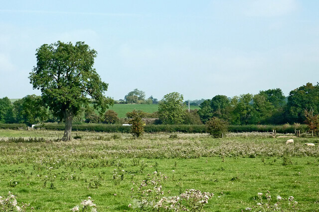
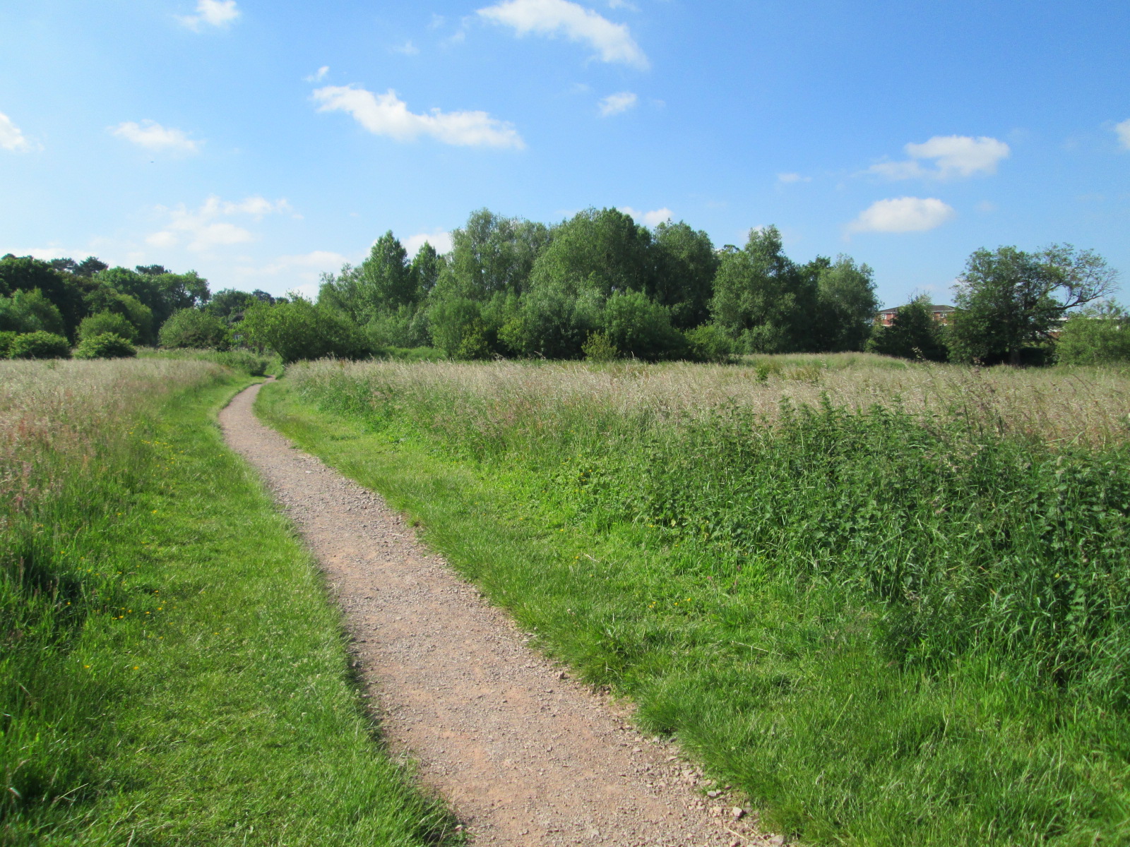
Lodge Plantation, located in Staffordshire, England, is a picturesque woodland area renowned for its natural beauty and rich biodiversity. Situated in the heart of the county, this forested area covers an approximate area of several hectares, providing a tranquil and peaceful setting for visitors to immerse themselves in nature.

The woodland is predominantly made up of deciduous trees, including oak, beech, and birch, which create a stunning canopy during the summer months. The forest floor is carpeted with a diverse range of wildflowers, such as bluebells and primroses, adding bursts of color to the landscape.

Lodge Plantation is not only a haven for flora but also a sanctuary for various wildlife species. The forest supports a thriving ecosystem, with an abundance of bird species, including woodpeckers, owls, and warblers. Visitors may catch glimpses of mammals such as deer, foxes, and squirrels as they explore the forest trails.

The woodland is intersected by a network of well-maintained footpaths and bridleways, allowing visitors to explore the area on foot or horseback. These paths wind through the forest, offering stunning views of the surrounding countryside and providing opportunities for walking, jogging, or horse riding.

Lodge Plantation is open to the public year-round, and visitors can enjoy picnicking in designated areas, capturing photographs, or simply finding solace in the peaceful surroundings. With its diverse flora and fauna, Lodge Plantation offers a delightful escape into nature for individuals and families seeking a serene and idyllic experience in Staffordshire.

If you have any feedback on the listing, please let us know in the comments section below.

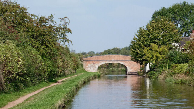
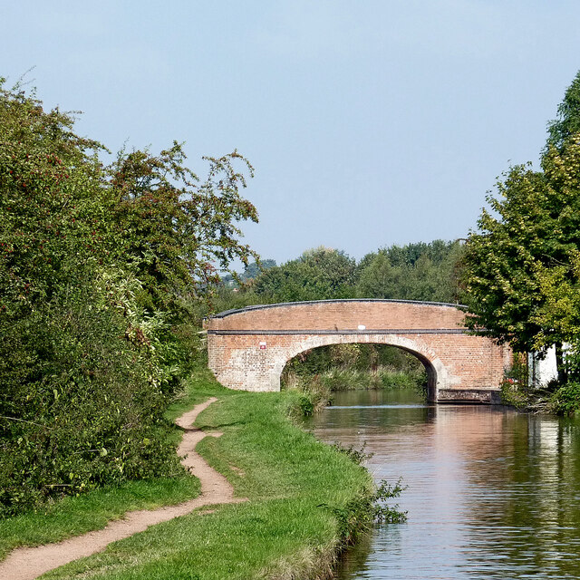
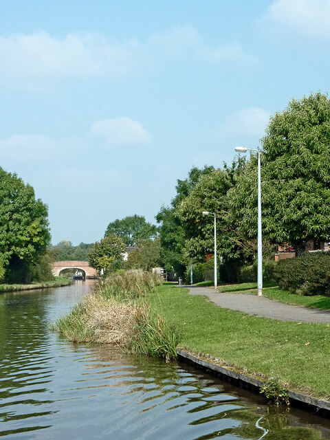
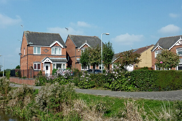
Lodge Plantation Images

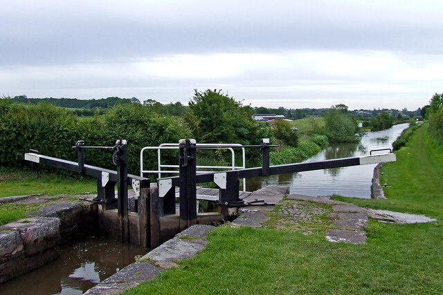
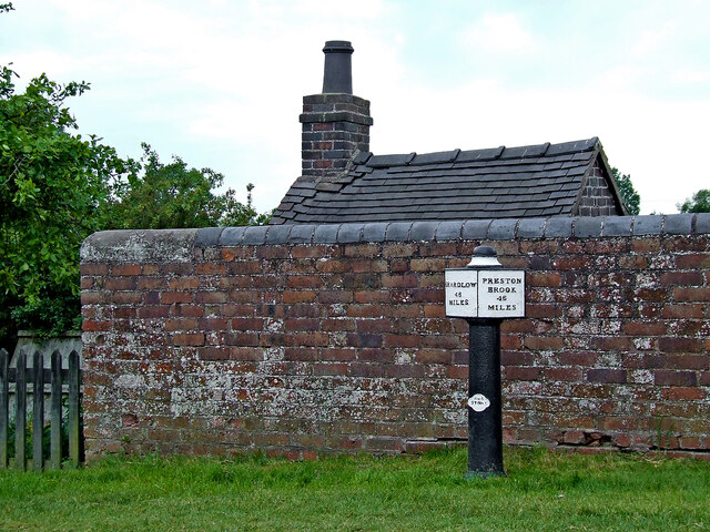
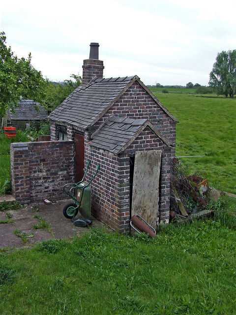
Images are sourced within 2km of 52.899232/-2.110322 or Grid Reference SJ9233. Thanks to Geograph Open Source API. All images are credited.

Canal approaching Stone in Staffordshire This is the Trent and Mersey Canal, looking north-west towards Andre Mills Bride, No 92. The former accommodation bridge now allows access to the towpath and meadows by the River Trent from the housing estate behind the trees on the right (Weavers Lane).
Canal approaching Stone in Staffordshire
This is the Trent and Mersey Canal, looking north-west towards Andre Mills Bride, No 92. The former accommodation bridge now allows access to the towpath and meadows by the River Trent from the housing estate behind the trees on the right (Weavers Lane).
Brassworks Bridge near Stone in Staffordshire Brassworks Bridge is No 91 across the Trent and Mersey Canal south-east of Stone town centre. The former accommodation bridge now allows access to the towpath and meadows by the River Trent from the housing estate behind the trees on the right (Simeon Way).
Brassworks Bridge near Stone in Staffordshire
Brassworks Bridge is No 91 across the Trent and Mersey Canal south-east of Stone town centre. The former accommodation bridge now allows access to the towpath and meadows by the River Trent from the housing estate behind the trees on the right (Simeon Way).
Brassworks Bridge near Stone in Staffordshire Brassworks Bridge is No 91 across the Trent and Mersey Canal south-east of Stone town centre. The former accommodation bridge now allows access to the towpath and meadows by the River Trent from the housing estate behind the trees on the right (Simeon Way).

This is a telephoto assisted image, looking north-west from a distance of almost two hundred metres.
Brassworks Bridge near Stone in Staffordshire
Brassworks Bridge is No 91 across the Trent and Mersey Canal south-east of Stone town centre. The former accommodation bridge now allows access to the towpath and meadows by the River Trent from the housing estate behind the trees on the right (Simeon Way). This is a telephoto assisted image, looking north-west from a distance of almost two hundred metres.
Trent and Mersey Canal near Stone in Staffordshire Looking north-west near Little Stoke at the south-eastern end of Stone's residential area (off to the right). The River Trent is close by, off to the left.
Trent and Mersey Canal near Stone in Staffordshire
Looking north-west near Little Stoke at the south-eastern end of Stone's residential area (off to the right). The River Trent is close by, off to the left.
Canalside housing near Stone, Staffordshire These modern houses by the Trent and Mersey Canal are in Highgrove, Little Stoke.
Canalside housing near Stone, Staffordshire
These modern houses by the Trent and Mersey Canal are in Highgrove, Little Stoke.
Canalside pasture south-east of Stone in Staffordshire Looking north from the Trent and Mersey Canal near Carr House Bridge, No 89.
The A51 road (between Stone and Rugeley) is behind the hedge.
Canalside pasture south-east of Stone in Staffordshire
Looking north from the Trent and Mersey Canal near Carr House Bridge, No 89. The A51 road (between Stone and Rugeley) is behind the hedge.
Trent and Mersey Canal at Aston Lock, Staffordshire Looking east-south-east towards Great Haywood Junction and Burton-upon-Trent.
Aston Lock, (No 26) provides a fall (or rise) of 8ft 8in (about 2·6 metres) in the water level.
Trent and Mersey Canal at Aston Lock, Staffordshire
Looking east-south-east towards Great Haywood Junction and Burton-upon-Trent. Aston Lock, (No 26) provides a fall (or rise) of 8ft 8in (about 2·6 metres) in the water level.
Milepost by Aston Lock near Stone, Staffordshire This is by Aston Lock, No 25 on the Trent and Mersey Canal. The mile marker is one of the originals cast in 1819 at Stone by Rangeley and Dixon to replace existing stone markers and is Grade II listed. The posts were installed in order to calculate tolls rather than inform boat crews where they were! They were removed in 1940, and not all were recovered after the war. There are many replicas along the Trent and Mersey to replace missing originals. The replicas are marked T&MCS 1977 (Trent and Mersey Canal Society). <span class="nowrap"><a title="https://trentandmerseycanalsociety.org.uk/mileposts/campaign/" rel="nofollow ugc noopener" href="https://trentandmerseycanalsociety.org.uk/mileposts/campaign/">Link</a><img style="margin-left:2px;" alt="External link" title="External link - shift click to open in new window" src="https://s1.geograph.org.uk/img/external.png" width="10" height="10"/></span>

Some sloppy paintwork suggests that it is 45 miles to Preston Brook. Other images show 46 miles. As many paint layers are probably present, the actual iron work needs examining to ascertain the truth.
Milepost by Aston Lock near Stone, Staffordshire
This is by Aston Lock, No 25 on the Trent and Mersey Canal. The mile marker is one of the originals cast in 1819 at Stone by Rangeley and Dixon to replace existing stone markers and is Grade II listed. The posts were installed in order to calculate tolls rather than inform boat crews where they were! They were removed in 1940, and not all were recovered after the war. There are many replicas along the Trent and Mersey to replace missing originals. The replicas are marked T&MCS 1977 (Trent and Mersey Canal Society). LinkExternal link Some sloppy paintwork suggests that it is 45 miles to Preston Brook. Other images show 46 miles. As many paint layers are probably present, the actual iron work needs examining to ascertain the truth.
Lock keeper's lobby by Aston Lock near Stone, Staffordshire I can guess the original purpose of one part of this building in the garden near the (much later) lock cottage. It is a fascinating building in two sections, appearing to be of similar age to the canal, so possibly late eighteenth century.
Lock keeper's lobby by Aston Lock near Stone, Staffordshire
I can guess the original purpose of one part of this building in the garden near the (much later) lock cottage. It is a fascinating building in two sections, appearing to be of similar age to the canal, so possibly late eighteenth century.
Canal at Aston Lock near Stone, Staffordshire The lockhouse is early 20th century, though some much older outbuildings, including a lock keeper's "lobby" (with privy?) are still standing in the garden by the lock.
Aston Lock, (No 26) provides a fall (or rise) of 8ft 8in (about 2·6 metres) in the water level.
Canal at Aston Lock near Stone, Staffordshire
The lockhouse is early 20th century, though some much older outbuildings, including a lock keeper's "lobby" (with privy?) are still standing in the garden by the lock. Aston Lock, (No 26) provides a fall (or rise) of 8ft 8in (about 2·6 metres) in the water level.
Aston Lock and House near Stone, Staffordshire The lockhouse is early 20th century, though some much older outbuildings, including a lock keeper's "lobby" (with privy?) are still standing in the garden by the lock.
Aston Lock, (No 26) provides a fall (or rise) of 8ft 8in (about 2·6 metres) in the water level.
Aston Lock and House near Stone, Staffordshire
The lockhouse is early 20th century, though some much older outbuildings, including a lock keeper's "lobby" (with privy?) are still standing in the garden by the lock. Aston Lock, (No 26) provides a fall (or rise) of 8ft 8in (about 2·6 metres) in the water level.
Aston Lock south-east of  Stone, Staffordshire Looking south-east towards Great Haywood and Burton-upon-Trent.
Aston Lock, (No 26 on the Trent and Mersey Canal) provides a fall (or rise) of 8ft 8in (about 2·6 metres) in the water level.
Aston Lock south-east of Stone, Staffordshire
Looking south-east towards Great Haywood and Burton-upon-Trent. Aston Lock, (No 26 on the Trent and Mersey Canal) provides a fall (or rise) of 8ft 8in (about 2·6 metres) in the water level.
Aston Lock top gate near Stone in Staffordshire Looking south-east towards Great Haywood and Burton-upon-Trent.
Aston Lock, (No 26 on the Trent and Mersey Canal) provides a fall (or rise) of 8ft 8in (about 2·6 metres) in the water level.
Aston Lock top gate near Stone in Staffordshire
Looking south-east towards Great Haywood and Burton-upon-Trent. Aston Lock, (No 26 on the Trent and Mersey Canal) provides a fall (or rise) of 8ft 8in (about 2·6 metres) in the water level.
Canal lock ground paddle gear Aston Lock, (No 26 on the Trent and Mersey Canal) provides a fall (or rise) of 8ft 8in (about 2·6 metres) in the water level.
The geared ratchet on the ground paddle is operated using a right angled metal tool called a windlass. Winding clockwise raises the underwater paddle, allowing water to enter the lock very quickly through a conduit. It is good practice to operate the ground paddle(s) and partly fill the lock chamber BEFORE raising the gate paddle(s) (if any) when a boat is in the lock. This reduces the possibility of water passing through the gate (even more fierce) and flooding the front of the boat. Further good practice is to take the windlass off the spindle as the lock fills (or hold on to it). This will eliminate the possibility of a worn paddle mechanism slipping, throwing off the windlass, which could hurtle at high velocity into the operator's face, causing extensive rearrangement of his/her dental facilities! Thirdly, when lowering the paddle to shut off water ingress, the windlass should be held onto and wound anticlockwise. Just letting the ratchet drop can damage the underground gear, thus shutting the canal because the lock cannot be used.
Narrow locks can have almost any combination of two, one or no ground paddles and two, one or no gate paddles.
Aston Lock top end has one of each. Here endeth the lesson. ;-)

<a href="https://www.geograph.org.uk/photo/7086451">SJ9131 : Aston Lock top gate near Stone in Staffordshire</a>

Person with windlass <a title="https://www.geograph.org.uk/photo/6363395" href="https://www.geograph.org.uk/photo/6363395">Link</a> .
Canal lock ground paddle gear
Aston Lock, (No 26 on the Trent and Mersey Canal) provides a fall (or rise) of 8ft 8in (about 2·6 metres) in the water level. The geared ratchet on the ground paddle is operated using a right angled metal tool called a windlass. Winding clockwise raises the underwater paddle, allowing water to enter the lock very quickly through a conduit. It is good practice to operate the ground paddle(s) and partly fill the lock chamber BEFORE raising the gate paddle(s) (if any) when a boat is in the lock. This reduces the possibility of water passing through the gate (even more fierce) and flooding the front of the boat. Further good practice is to take the windlass off the spindle as the lock fills (or hold on to it). This will eliminate the possibility of a worn paddle mechanism slipping, throwing off the windlass, which could hurtle at high velocity into the operator's face, causing extensive rearrangement of his/her dental facilities! Thirdly, when lowering the paddle to shut off water ingress, the windlass should be held onto and wound anticlockwise. Just letting the ratchet drop can damage the underground gear, thus shutting the canal because the lock cannot be used. Narrow locks can have almost any combination of two, one or no ground paddles and two, one or no gate paddles. Aston Lock top end has one of each. Here endeth the lesson. ;-) SJ9131 : Aston Lock top gate near Stone in Staffordshire Person with windlass Link .
Trent and Mersey Canal near Stone in Staffordshire This is the canal seen by looking east-south-east from Aston Lock (No 26). The recently built Aston Marina is just visible on the left.
Trent and Mersey Canal near Stone in Staffordshire
This is the canal seen by looking east-south-east from Aston Lock (No 26). The recently built Aston Marina is just visible on the left.
Aston Bridge near Stone in Staffordshire Aston Bridge is No 90 across the Trent and Mersey Canal near Aston Lock.
Aston Bridge near Stone in Staffordshire
Aston Bridge is No 90 across the Trent and Mersey Canal near Aston Lock.
Aston Bridge near Stone in Staffordshire Aston Bridge is No 90 across the Trent and Mersey Canal near Aston Lock.
Aston Bridge near Stone in Staffordshire
Aston Bridge is No 90 across the Trent and Mersey Canal near Aston Lock.
Trent and Mersey Canal near Aston-by-Stone, Staffordshire Looking north from Aston Bridge, No 90.
Trent and Mersey Canal near Aston-by-Stone, Staffordshire
Looking north from Aston Bridge, No 90.
Show me another place!

Lodge Plantation is located at Grid Ref: SJ9233 (Lat: 52.899232, Lng: -2.110322)

Administrative County: Staffordshire

District: Stafford

Police Authority: Staffordshire

What 3 Words

///recline.plotter.dive. Near Stone, Staffordshire

Nearby Locations

Lodge Plantation

Related Wikis

Aston-by-Stone railway station

Aston-by-Stone railway station is a disused railway station in the village of Aston, Staffordshire, England. == History == Opened by the North Staffordshire...

Lichfield Road, Stone

Lichfield Road is a cricket ground in Stone, Staffordshire. The ground was established in 1948, when Staffordshire played Buckinghamshire in the grounds...

Stone Priory

Stone Priory was a priory founded at Stone in Staffordshire, England, in about 670 AD. The priory's church was dedicated to Saint Mary and Saint Wulfad...

St Dominic's Priory School, Stone

St Dominic's Priory School is an independent Catholic day school in the town of Stone, Staffordshire, halfway between Stoke-on-Trent and Stafford. The...

Alleyne's Academy

Alleyne's Academy (formerly Alleyne's High School) is a coeducational secondary school and sixth form with academy status. It is located in Stone, Staffordshire...

Hilderstone

Hilderstone is a village and a civil parish in the English county of Staffordshire. == Location == The village is 8.6 miles (13.8 km) north of the town...

Stone Meadows

Stone Meadows is a local nature reserve adjacent to Stone, in Staffordshire, England. There are three separate meadows by the River Trent. Goodall Meadow...

Aston-By-Stone

Aston-By-Stone is a village and civil parish in the Borough of Stafford in Staffordshire, England. It is close to the town of Stone and city of Stoke-on...

Nearby Amenities

Located within 500m of 52.899232,-2.110322
Barrier: stile
Stile: stepover
Lat/Long: 52.8951723/-2.1114445
The data included in this document is from www.openstreetmap.org. The data is made available under ODbL.

Have you been to Lodge Plantation?

Leave your review of Lodge Plantation below (or comments, questions and feedback).