Barnage Wood

Wood, Forest in Gloucestershire Stroud

England

Barnage Wood

Woodland north of railway line Dense woodland adorns the hills to the north of the Severn and Thames Canal. Bristley Hill Wood and (to the right) Tanner's Wood are located here.
Woodland north of railway line Credit: Clint Mann

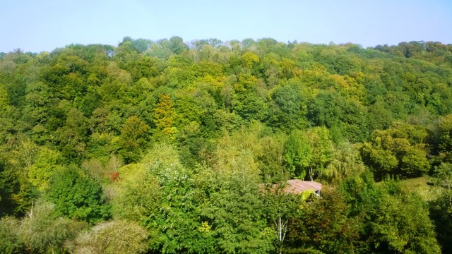
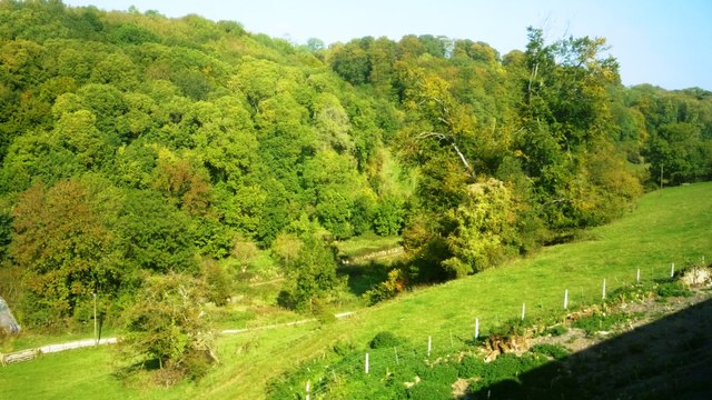
Barnage Wood is a picturesque woodland located in the county of Gloucestershire, England. Covering an area of approximately 100 acres, it is nestled in the heart of the Forest of Dean, a renowned ancient woodland and tourist attraction. The wood is situated near the village of Lydney and is easily accessible by foot or car.

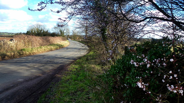
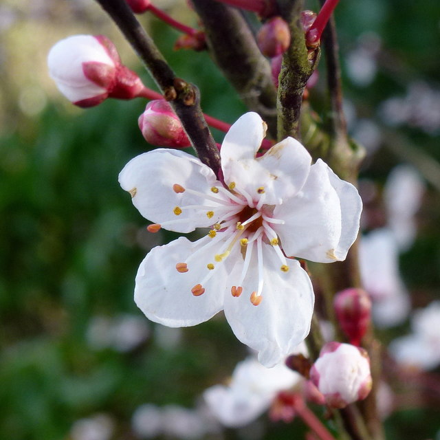
The woodland is predominantly composed of native deciduous trees, such as oak, beech, and ash, which create a diverse and vibrant canopy. These trees provide a habitat for a wide range of wildlife, including birds, mammals, and insects. Visitors to Barnage Wood can often spot species such as woodpeckers, deer, and foxes amidst the tranquil surroundings.

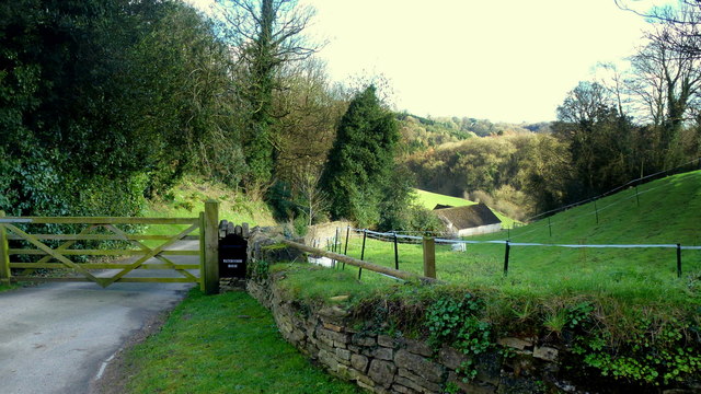
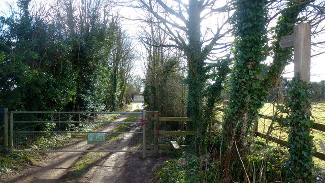
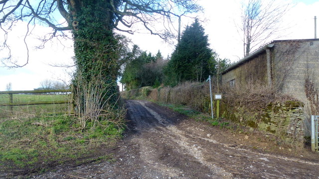
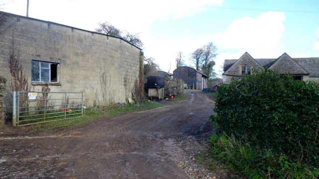
The wood features a network of well-maintained footpaths, allowing visitors to explore its natural beauty. These paths wind through the wood, offering stunning views of the surrounding countryside and providing an opportunity to immerse oneself in nature. The wood also boasts a small stream that meanders through its heart, further enhancing its charm.

Barnage Wood is a popular destination for nature enthusiasts, walkers, and families. Its peaceful ambiance, coupled with its natural beauty, makes it an ideal location for leisurely strolls, picnics, and wildlife spotting. The wood is open to the public throughout the year, and there are no admission fees or restrictions on visiting hours.

Overall, Barnage Wood is a hidden gem within the Forest of Dean, offering visitors a chance to escape the hustle and bustle of everyday life and reconnect with nature in a serene and enchanting setting.

If you have any feedback on the listing, please let us know in the comments section below.
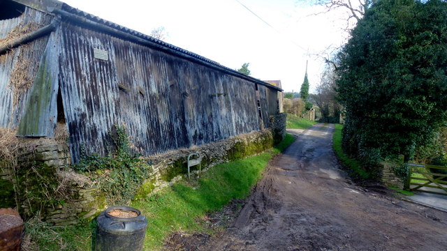
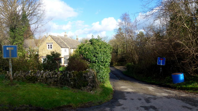
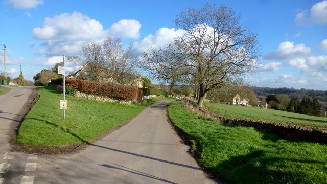
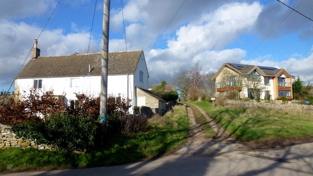
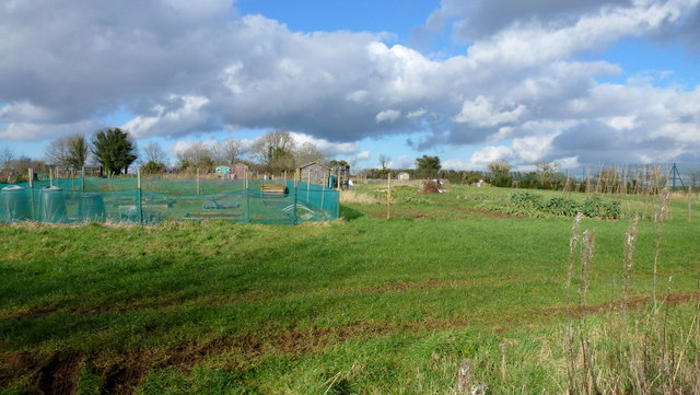
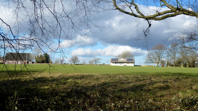
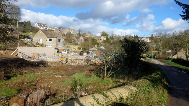
Barnage Wood Images

Images are sourced within 2km of 51.72637/-2.1082334 or Grid Reference SO9203. Thanks to Geograph Open Source API. All images are credited.

Woodland north of railway line Dense woodland adorns the hills to the north of the Severn and Thames Canal. Bristley Hill Wood and (to the right) Tanner's Wood are located here.
Woodland north of railway line
Dense woodland adorns the hills to the north of the Severn and Thames Canal. Bristley Hill Wood and (to the right) Tanner's Wood are located here.
Trackway and canal in the Golden Valley Viewed from the railway line. Tanner's Wood seen in background.
Trackway and canal in the Golden Valley
Viewed from the railway line. Tanner's Wood seen in background.
Entrance to Watercombe House Set in a secluded Cotswold valley.
Entrance to Watercombe House
Set in a secluded Cotswold valley.
Private drive, public path The path cuts through to Hyde's Bottom from Limekiln Lane.
Private drive, public path
The path cuts through to Hyde's Bottom from Limekiln Lane.
Lane to Waterlane The shrub with pinky white flowers is a Viburnun sp, possibly V lantana, Wayfaring Tree.
Lane to Waterlane
The shrub with pinky white flowers is a Viburnun sp, possibly V lantana, Wayfaring Tree.
Viburnum lantana by Limekiln Lane Detail of the shrub seen in context in <a href="https://www.geograph.org.uk/photo/5013388">SO9104 : Lane to Waterlane</a>.
Viburnum lantana by Limekiln Lane
Detail of the shrub seen in context in SO9104 : Lane to Waterlane.
Track and footpath Limbricks farm to the right; the footpath heads north to Battlescombe.
Track and footpath
Limbricks farm to the right; the footpath heads north to Battlescombe.
Limbrick's Farm Large Cotswolds farm to the north of Waterlane.
Limbrick's Farm
Large Cotswolds farm to the north of Waterlane.
Track to Rookwoods Limbrick's farm to the left.
Track to Rookwoods
Limbrick's farm to the left.
Dead end lane at Waterlane One of six lanes to radiate out from the junction at the centre of this Cotswolds hamlet.
Dead end lane at Waterlane
One of six lanes to radiate out from the junction at the centre of this Cotswolds hamlet.
Far Oakridge, 1 Cotswolds hamlet on the hillside above the Frome valley.
Far Oakridge, 1
Cotswolds hamlet on the hillside above the Frome valley.
Far Oakridge, 2 This track and bridleway leads north to Waterlane.
Far Oakridge is a Cotswolds hamlet on the hillside above the Frome valley.
Far Oakridge, 2
This track and bridleway leads north to Waterlane. Far Oakridge is a Cotswolds hamlet on the hillside above the Frome valley.
Allotments, Oakridge Look like nice sized plots here.
Allotments, Oakridge
Look like nice sized plots here.
Oakridge recreation ground Facility on the east side of the village.
Oakridge recreation ground
Facility on the east side of the village.
Oakridge A hilltop village that looks as though there is very little planning.
Oakridge
A hilltop village that looks as though there is very little planning.
Cotswolds stream Some small waterfalls here at Bourne's Green.
Cotswolds stream
Some small waterfalls here at Bourne's Green.
Steep lane, Bourne's Green Leading to Upper Hill Farm.
Steep lane, Bourne's Green
Leading to Upper Hill Farm.
Moon's Lane, Bourne's Green Leading uphill to Hyde's Bottom and on to Bisley.
Moon's Lane, Bourne's Green
Leading uphill to Hyde's Bottom and on to Bisley.
Show me another place!

Barnage Wood is located at Grid Ref: SO9203 (Lat: 51.72637, Lng: -2.1082334)

Administrative County: Gloucestershire

District: Stroud

Police Authority: Gloucestershire

What 3 Words

///postings.below.ladders. Near Chalford, Gloucestershire

Related Wikis

Sapperton Railway Tunnel

The Sapperton Railway Tunnel is a railway tunnel near Sapperton, Gloucestershire in the United Kingdom. It carries the Golden Valley Line from Stroud to...

Frampton Mansell

Frampton Mansell is a small English village 5 miles (8 km) east-south-east of Stroud, Gloucestershire, in the parish of Sapperton. It lies off the A419...

Oakridge, Gloucestershire

Oakridge is a village in Gloucestershire, England. The parish church is St. Bartholomew's Church. It is just on the outskirts of Stroud, Gloucestershire...

Sapperton Valley

Sapperton Valley (grid reference SO935035) is a 3.7-hectare (9.1-acre) nature reserve near Chalford in the Stroud district of Gloucestershire, England...

Siccaridge Wood

Siccaridge Wood (grid reference SO935035) is a 26.6-hectare (66-acre) nature reserve in Gloucestershire. The site is listed in the ‘Stroud District’ Local...

Daneway Banks SSSI

Daneway Banks (grid reference SO937034) is a 17-hectare (42-acre) biological Site of Special Scientific Interest in Gloucestershire, notified in 1954 and...

Three Groves Wood

Three Groves Wood (grid reference SO912029) is a 3.3-hectare (8.2-acre) nature reserve in Gloucestershire. The site is listed in the ‘Stroud District’...

Daneway House

Daneway House is a grade I listed house in the parish of Bisley-with-Lypiatt but close to Sapperton in Gloucestershire, England.The house was built in...

Nearby Amenities

Located within 500m of 51.72637,-2.1082334
Note: I think it's a spillweir, not 100% sure as it was covered in vegetation.
Source: survey
Waterway: spillweir
Lat/Long: 51.7257644/-2.1121201
Description: Map board
Tourism: information
Lat/Long: 51.7255191/-2.1035305
Barrier: kissing_gate
Lat/Long: 51.7256609/-2.1119927
Iles Green
Place: hamlet
Lat/Long: 51.7295737/-2.1100212
Railway: level_crossing
Lat/Long: 51.7246159/-2.1127529
Barrier: stile
Lat/Long: 51.7302956/-2.1114479
Power: pole
Lat/Long: 51.7234888/-2.1128995
Railway: level_crossing
Lat/Long: 51.7246534/-2.1127122
Barrier: stile
Stile: stepover
Lat/Long: 51.7230256/-2.1096655
Barrier: stile
Stile: stepover
Lat/Long: 51.7254358/-2.1037644
Information: guidepost
Tourism: information
Lat/Long: 51.7255952/-2.1036552
Railway: crossing
Lat/Long: 51.7240667/-2.1048936
Railway: crossing
Lat/Long: 51.7240309/-2.1048991
The data included in this document is from www.openstreetmap.org. The data is made available under ODbL.

Have you been to Barnage Wood?

Leave your review of Barnage Wood below (or comments, questions and feedback).