Crookham

Settlement in Northumberland

England

Crookham

The Castle Gatehouse
The Castle Gatehouse Credit: Kevin Waterhouse

Crookham is a small village located in the county of Northumberland, in the northeast of England. Situated approximately 9 miles west of the town of Berwick-upon-Tweed, it is nestled within the picturesque landscape of the Northumberland National Park.

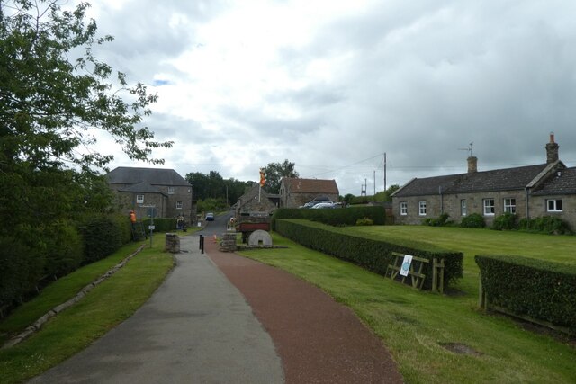
Crookham has a rich history dating back to medieval times and is known for its charming and traditional architecture. The village is characterized by its stone-built houses, many of which have been carefully preserved and retain their original character.

The village is home to a close-knit community, with a population of around 300 residents. Despite its small size, Crookham boasts a number of amenities for its residents, including a village hall, a primary school, a post office, and a local pub.

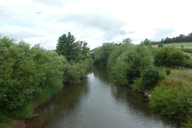
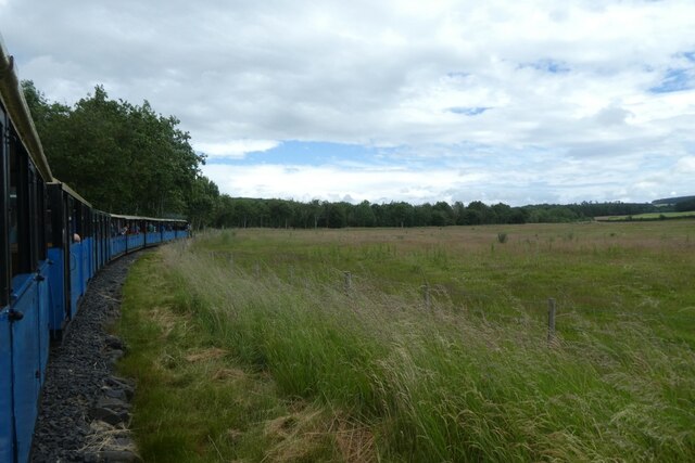
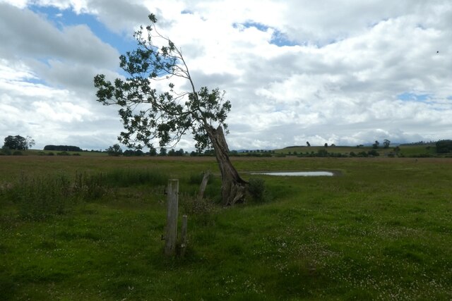
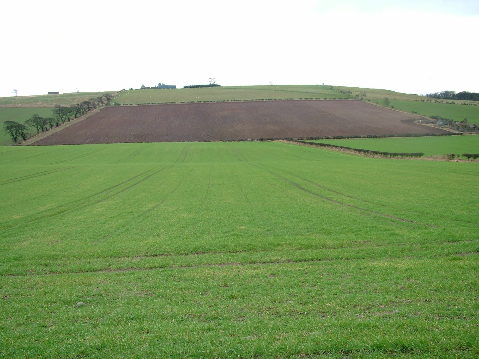
Surrounded by stunning natural beauty, Crookham offers easy access to the Northumberland National Park, providing ample opportunities for outdoor enthusiasts. The park is known for its vast moorlands, rolling hills, and ancient woodlands, making it an ideal destination for hiking, cycling, and wildlife spotting.

Crookham is also conveniently located near some of Northumberland's most popular attractions. The iconic Holy Island of Lindisfarne, with its historic castle and priory, is within a short drive, as is the famous Bamburgh Castle, a magnificent fortress overlooking the Northumberland coastline.

Overall, Crookham is a tranquil and picturesque village that offers a peaceful retreat for residents and visitors alike, with its rich history, stunning natural surroundings, and convenient location near Northumberland's top attractions.

If you have any feedback on the listing, please let us know in the comments section below.
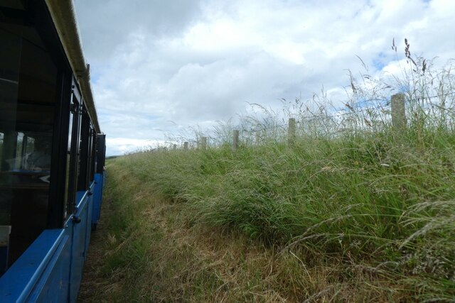
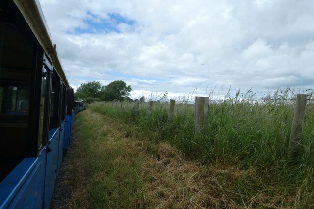
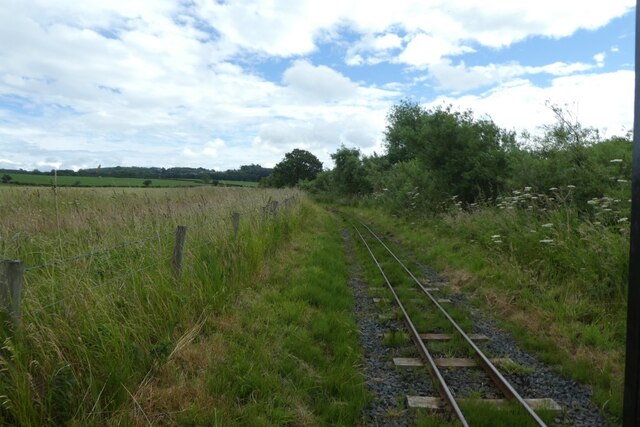
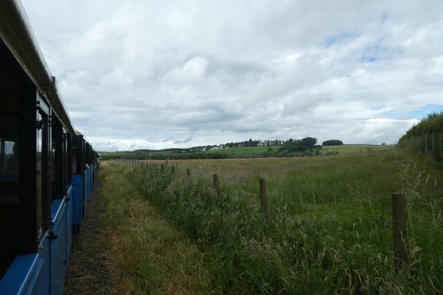
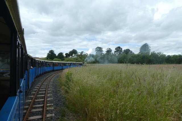
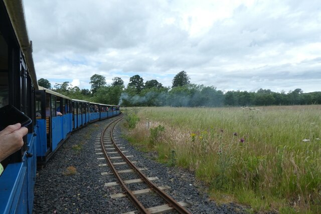
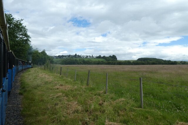
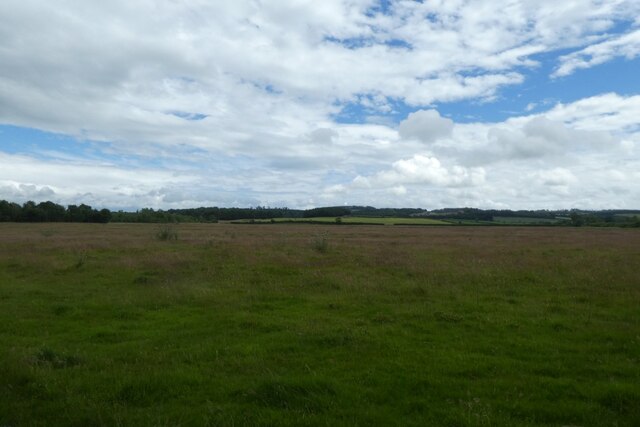
Crookham Images

Images are sourced within 2km of 55.638038/-2.136105 or Grid Reference NT9138. Thanks to Geograph Open Source API. All images are credited.

The Castle Gatehouse
Station buildings at Hetherslaw The smoke is from the locomotive being fired for the day's trains.
Station buildings at Hetherslaw
The smoke is from the locomotive being fired for the day's trains.
Coal and water Looking towards the coal, wood and water supplies at Heatherslaw.
Coal and water
Looking towards the coal, wood and water supplies at Heatherslaw.
Bridge over the River Till The bridge also crosses the Heatherslaw Light Railway.
Bridge over the River Till
The bridge also crosses the Heatherslaw Light Railway.
River Till from the bridge On the right the track of the Heatherslaw Light Railway can be seen.
River Till from the bridge
On the right the track of the Heatherslaw Light Railway can be seen.
Path to Heatherslaw Mill Compare with <a href="https://www.geograph.org.uk/photo/4158449">NT9338 : Heatherslaw village</a> eight years later.
Path to Heatherslaw Mill
Compare with NT9338 : Heatherslaw village eight years later.
Attaching the locomotive The locomotive The Lady Augusta being connected to the coaches for the first departure.
Attaching the locomotive
The locomotive The Lady Augusta being connected to the coaches for the first departure.
Train approaching the bridge Looking along the line after departing Heatherslaw station on the light railway.
Train approaching the bridge
Looking along the line after departing Heatherslaw station on the light railway.
Railway in a cutting A Heatherslaw Light Railway train heads towards Etal with the first service of the day.
Railway in a cutting
A Heatherslaw Light Railway train heads towards Etal with the first service of the day.
Train following the course of the river A Heatherslaw Light Railway train heads towards Etal with the first service of the day.
Train following the course of the river
A Heatherslaw Light Railway train heads towards Etal with the first service of the day.
Track beside the River Till Looking back along the tracks from a Heatherslaw Light Railway train as it heads towards Etal with the first service of the day.
Track beside the River Till
Looking back along the tracks from a Heatherslaw Light Railway train as it heads towards Etal with the first service of the day.
Train heading west beside the river A Heatherslaw Light Railway train heads towards Etal with the first service of the day.
Train heading west beside the river
A Heatherslaw Light Railway train heads towards Etal with the first service of the day.
Entering the passing loop A Heatherslaw Light Railway train heads towards Etal with the first service of the day.
Entering the passing loop
A Heatherslaw Light Railway train heads towards Etal with the first service of the day.
Train in the passing loop A Heatherslaw Light Railway train heads towards Etal with the first service of the day.
Train in the passing loop
A Heatherslaw Light Railway train heads towards Etal with the first service of the day.
West of the passing loop A Heatherslaw Light Railway train heads towards Etal with the first service of the day.
West of the passing loop
A Heatherslaw Light Railway train heads towards Etal with the first service of the day.
Fields beside the railway Viewed from the first Heatherslaw Light Railway train of the day as it heads towards Etal.
Fields beside the railway
Viewed from the first Heatherslaw Light Railway train of the day as it heads towards Etal.
Train following the course of the river A Heatherslaw Light Railway train heads towards Etal with the first service of the day.
Train following the course of the river
A Heatherslaw Light Railway train heads towards Etal with the first service of the day.
Tree beside the railway Looking across a field from the first Heatherslaw Light Railway train of the day. The rest of this tree lies a little bit further on to the left.
Tree beside the railway
Looking across a field from the first Heatherslaw Light Railway train of the day. The rest of this tree lies a little bit further on to the left.
Show me another place!

Crookham is located at Grid Ref: NT9138 (Lat: 55.638038, Lng: -2.136105)

Unitary Authority: Northumberland

Police Authority: Northumbria

What 3 Words

///spaceship.nosedive.mops. Near Ford, Northumberland

Related Wikis

Crookham, Northumberland

Crookham is a village on the River Till in Northumberland, in England. It is situated approximately 8 km (5.0 mi) to the east of Coldstream and 14 km...
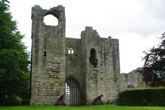
Etal Castle

Etal Castle is a ruined medieval fortification in the village of Etal, Northumberland, England. It was built around 1341 by Robert Manners, and comprised...

Etal, Northumberland

Etal ( EE-təl) is a small village in the far north of the county of Northumberland, England, in the civil parish of Ford. It lies on a bridging point of...

Ford Forge

Ford Forge (Ford Mill), Northumberland, England is located on the River Till between the villages of Ford and Etal. Buildings housing a water-powered forge...

Heatherslaw Mill

Heatherslaw Mill is a water mill situated on the Ford and Etal Estate, 7 miles north of the town of Wooler in the English county of Northumberland. It...

Pallinsburn House

Pallinsburn House is an 18th-century country house situated at Ford, Northumberland. It is a Grade II* listed building. The house was built about 1763...

Branxton, Northumberland

Branxton is a village and civil parish in northern Northumberland, England. It lies about 3 miles (5 km) from the England-Scotland border and about 4 miles...

Battle of Flodden

The Battle of Flodden, Flodden Field, or occasionally Branxton or Brainston Moor was a battle that was fought on 9 September 1513 during the War of the...

Nearby Amenities

Located within 500m of 55.638038,-2.136105
Crookham
Is In: Northumberland
Place: village
Wikidata: Q5187896
Lat/Long: 55.6372183/-2.1343082
Pallinsburn
Place: hamlet
Lat/Long: 55.6379804/-2.1430387
Post Box
Operator: Royal Mail
Post Box Mounting: stone_wall
Post Box Type: wall
Ref: TD12 115
Royal Cypher: scottish_crown
Lat/Long: 55.6373881/-2.1340076
Blue Bell Hill
Natural: peak
Lat/Long: 55.6394511/-2.1396781
Swallow Brae
Place: locality
Lat/Long: 55.6394086/-2.133041
West Haugh
Place: locality
Lat/Long: 55.6398349/-2.1294932
Shelter
Shelter Type: weather_shelter
Lat/Long: 55.6373417/-2.1381572
Direction: 265
Generator Method: photovoltaic
Generator Output Electricity: yes
Generator Solar Modules: 6
Generator Source: solar
Generator Type: solar_photovoltaic_panel
Location: roof
Power: generator
Lat/Long: 55.6367165/-2.1316561
Direction: 85
Generator Method: photovoltaic
Generator Output Electricity: yes
Generator Solar Modules: 6
Generator Source: solar
Generator Type: solar_photovoltaic_panel
Location: roof
Power: generator
Lat/Long: 55.6367172/-2.1316145
The data included in this document is from www.openstreetmap.org. The data is made available under ODbL.

Have you been to Crookham?

Leave your review of Crookham below (or comments, questions and feedback).