Windyhill Plantation

Wood, Forest in Northumberland

England

Windyhill Plantation

Field in front of Myra's Wood Myra's Wood is a long narrow shelter belt of conifers. The mast <a href="https://www.geograph.org.uk/gridref/NY9059">NY9059</a> on the edge of the wood is probably a mobile phone mast.
Field in front of Myra's Wood Credit: Oliver Dixon

Windyhill Plantation is a picturesque woodland located in Northumberland, England. Nestled in the heart of the county, this enchanting forest covers an area of approximately 250 acres, offering a serene escape for nature enthusiasts and outdoor adventurers alike.

The plantation boasts a diverse range of tree species, including towering oak, beech, and birch trees that provide a lush canopy, creating a tranquil atmosphere throughout the year. The dense vegetation and well-maintained paths make it an ideal location for peaceful walks, hikes, and exploration.

Windyhill Plantation is home to a rich array of wildlife, with various species of birds, mammals, and insects inhabiting the area. Birdwatchers can delight in the opportunity to spot rare species such as the Eurasian hobby, lesser spotted woodpecker, and tawny owl. Nature lovers may also come across roe deer, foxes, and even red squirrels while venturing through the forest.

Visitors to Windyhill Plantation can take advantage of the well-equipped picnic areas and seating spots scattered throughout the woodland, providing the perfect setting for a relaxing picnic or simply enjoying the tranquility of the surroundings. Additionally, the plantation offers designated areas for camping and barbecues, allowing visitors to extend their stay and fully immerse themselves in the natural beauty of the forest.

Whether it be for a leisurely stroll, birdwatching, or a family outing, Windyhill Plantation in Northumberland promises an unforgettable experience for those seeking a connection with nature in a stunning woodland setting.

If you have any feedback on the listing, please let us know in the comments section below.

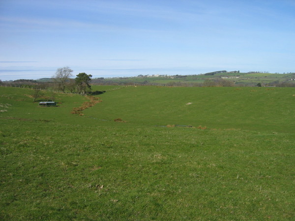
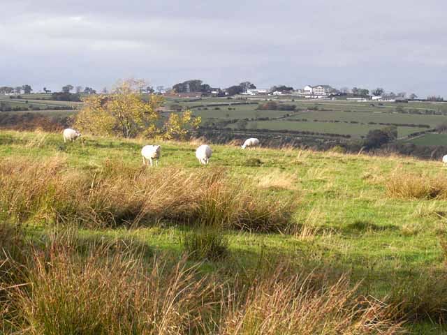
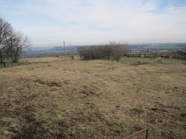
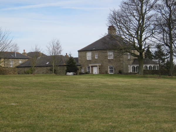
Windyhill Plantation Images

Images are sourced within 2km of 54.945014/-2.1265425 or Grid Reference NY9161. Thanks to Geograph Open Source API. All images are credited.

Field in front of Myra's Wood Myra's Wood is a long narrow shelter belt of conifers. The mast <a href="https://www.geograph.org.uk/gridref/NY9059">NY9059</a> on the edge of the wood is probably a mobile phone mast.
Field in front of Myra's Wood
Myra's Wood is a long narrow shelter belt of conifers. The mast NY9059 on the edge of the wood is probably a mobile phone mast.
Eastern end of Myra's Wood A long narrow shelterbelt of coniferous trees. Some have been toppled at this end - possibly by Storm Arwen on 8th December 2021.
Eastern end of Myra's Wood
A long narrow shelterbelt of coniferous trees. Some have been toppled at this end - possibly by Storm Arwen on 8th December 2021.
Windthrow at the eastern end of Myra's Wood Possibly damaged by Storm Arwen on 8th December 2021.
Windthrow at the eastern end of Myra's Wood
Possibly damaged by Storm Arwen on 8th December 2021.
Same location, new feeder, new sheep Compare with <a href="https://www.geograph.org.uk/photo/1135815">NY9159 : Sheep and feeder near High Ardley</a> from thirteen years ago.
Same location, new feeder, new sheep
Compare with NY9159 : Sheep and feeder near High Ardley from thirteen years ago.
Farmland and footpath crossing Cockshaw Rigg
Dotland
Dotland
Myra's Wood
Myra's Wood
Minor road to High and Low Ardley
Medieval village at Dotland This rather unprepossessing field of humps and hollows marks this site of what was in Mediaeval times a substantial village <span class="nowrap"><a title="http://www.durham-pa.gov.uk/durhamcc/K2P.nsf/K2PDetail?readform&PRN=N8336" rel="nofollow ugc noopener" href="http://www.durham-pa.gov.uk/durhamcc/K2P.nsf/K2PDetail?readform&PRN=N8336">Link</a><img style="margin-left:2px;" alt="External link" title="External link - shift click to open in new window" src="https://s1.geograph.org.uk/img/external.png" width="10" height="10"/></span>. The hills on the skyline lie to the north of the Tyne valley.
Medieval village at Dotland
This rather unprepossessing field of humps and hollows marks this site of what was in Mediaeval times a substantial village LinkExternal link. The hills on the skyline lie to the north of the Tyne valley.
Sheep and feeder near High Ardley
Cockshaw Rigg Rough pasture on the back road from Juniper to Dotland. Hexham Racecourse <a href="https://www.geograph.org.uk/gridref/NY9162">NY9162</a> on the skyline.
Cockshaw Rigg
Rough pasture on the back road from Juniper to Dotland. Hexham Racecourse NY9162 on the skyline.
Byway leading from Dotland
Medieval Well in the grounds of Dotland Farm
Dotland Shrunken Medieval Village There has been a settlement at Dotland since at least the 13th century when it was recorded as a grange in 1287. At this time it belonged to the Priory of Hexham. In the 14th century it had become a tenanted farm and in 1379 a number of people are recorded living there. The population of the village seems to have fallen quite drastically by this time but over the next 400 years it grew again until there was a substantial settlement here by 1769. However, today there are only two farms and a few cottages. The earlier settlement has left its mark in the clear earthworks marking former house and garden plots. There are also remains of the medieval field system with ridge and furrow earthworks nearby.
<span class="nowrap"><a title="http://www.keystothepast.info/durhamcc/K2P.nsf/K2PDetail?readform&PRN=N8336" rel="nofollow ugc noopener" href="http://www.keystothepast.info/durhamcc/K2P.nsf/K2PDetail?readform&PRN=N8336">Link</a><img style="margin-left:2px;" alt="External link" title="External link - shift click to open in new window" src="https://s1.geograph.org.uk/img/external.png" width="10" height="10"/></span>
Dotland Shrunken Medieval Village
There has been a settlement at Dotland since at least the 13th century when it was recorded as a grange in 1287. At this time it belonged to the Priory of Hexham. In the 14th century it had become a tenanted farm and in 1379 a number of people are recorded living there. The population of the village seems to have fallen quite drastically by this time but over the next 400 years it grew again until there was a substantial settlement here by 1769. However, today there are only two farms and a few cottages. The earlier settlement has left its mark in the clear earthworks marking former house and garden plots. There are also remains of the medieval field system with ridge and furrow earthworks nearby. LinkExternal link
Dotland Farmhouse
Dotland Farmhouse
Dotland Farmhouse
Dotland Farmhouse
Footpath north of Dotland
Country road from High Ardley to New Dotland To the left is the end of a long belt of pine trees.
Country road from High Ardley to New Dotland
To the left is the end of a long belt of pine trees.
Show me another place!

Windyhill Plantation is located at Grid Ref: NY9161 (Lat: 54.945014, Lng: -2.1265425)

Unitary Authority: Northumberland

Police Authority: Northumbria

What 3 Words

///snore.sliding.peach. Near Hexham, Northumberland

Related Wikis

St Joseph's Roman Catholic Middle School

St Joseph's Roman Catholic Middle School is one of the two middle schools in Hexham, Northumberland, England, the other being Hexham Middle School. The...

Queen Elizabeth High School, Hexham

Queen Elizabeth High School (QEHS) is a coeducational high school and sixth form located in Hexham, Northumberland, England. == History == The school was...

Dare Wilson Barracks

Dare Wilson Barracks, is a military installation in Hexham, Northumberland. The building is named after Major General Dare Wilson who was commissioned...

St Mary's Church, Hexham

St Mary's Church is a Roman Catholic Parish church in Hexham, Northumberland. It was built from 1828 to 1830 in the Gothic Revival style. It is located...

Juniper, Northumberland

Juniper is a hamlet in the English county of Northumberland. It is about 5 miles (8 km) due south of Hexham in the area known as Hexhamshire. There is...

Hexhamshire Low Quarter

Hexhamshire Low Quarter is a former civil parish, now in the parish of Hexhamshire, in Northumberland, England. It was situated to the south of Hexham...

Queen's Hall, Hexham

The Queen's Hall, formerly Hexham Town Hall, is a municipal structure in Beaumont Street, Hexham, Northumberland, England. The structure, which was the...

Battle of Hexham

The Battle of Hexham, 15 May 1464, marked the end of significant Lancastrian resistance in the north of England during the early part of the reign of Edward...

Have you been to Windyhill Plantation?

Leave your review of Windyhill Plantation below (or comments, questions and feedback).