High Wood
Wood, Forest in Cheshire
England
High Wood
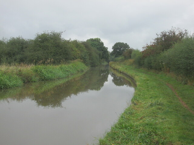
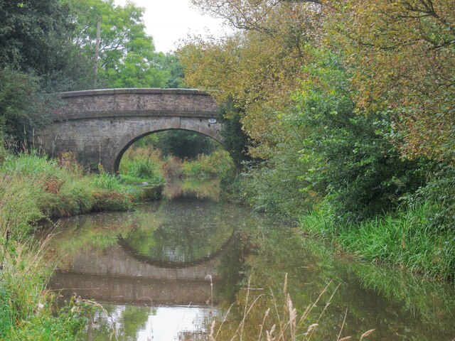
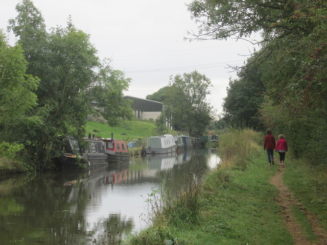
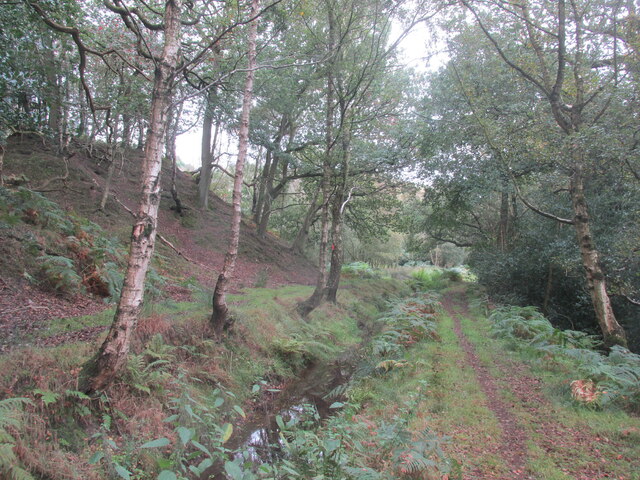
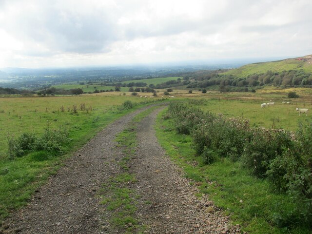
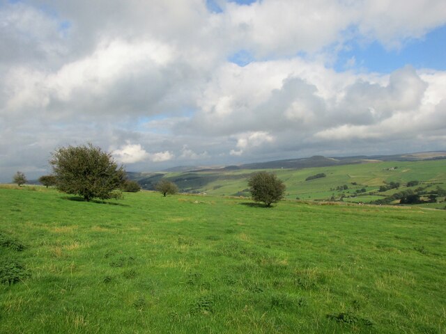
High Wood is a picturesque forest located in the county of Cheshire, England. Spanning over a vast area of land, it is known for its dense vegetation, towering trees, and tranquil atmosphere. The wood is situated in close proximity to the town of Nantwich and is a popular destination for nature enthusiasts and hikers.
As one enters High Wood, they are greeted by a diverse range of flora and fauna. The forest is home to a wide variety of tree species, including oak, beech, and birch, which create a dense canopy overhead. This thick foliage provides shade and creates a cool, soothing environment even on hot summer days. The forest floor is covered with a lush carpet of mosses, ferns, and wildflowers, adding to the enchanting beauty of the wood.
High Wood offers numerous walking trails and paths, allowing visitors to explore its natural wonders. The tranquil ambiance makes it an ideal location for leisurely strolls and picnics. Additionally, the wood is also a haven for wildlife, with an abundance of birds, squirrels, and deer. Birdwatchers can spot various species, including woodpeckers, thrushes, and owls.
The wood is well-maintained and managed, ensuring its preservation for future generations. It attracts visitors throughout the year, with its stunning displays of autumn foliage, vibrant spring blooms, and the peaceful serenity it offers in winter.
Overall, High Wood, Cheshire is a breathtaking forest that offers an escape from the bustling urban life. Its natural beauty, diverse ecosystem, and tranquil ambiance make it a cherished location for locals and tourists alike.
If you have any feedback on the listing, please let us know in the comments section below.
High Wood Images
Images are sourced within 2km of 53.207195/-2.1228365 or Grid Reference SJ9167. Thanks to Geograph Open Source API. All images are credited.

High Wood is located at Grid Ref: SJ9167 (Lat: 53.207195, Lng: -2.1228365)
Unitary Authority: Cheshire East
Police Authority: Cheshire
What 3 Words
///directs.camps.bounding. Near Eaton, Cheshire
Nearby Locations
Related Wikis
Oakgrove, Cheshire
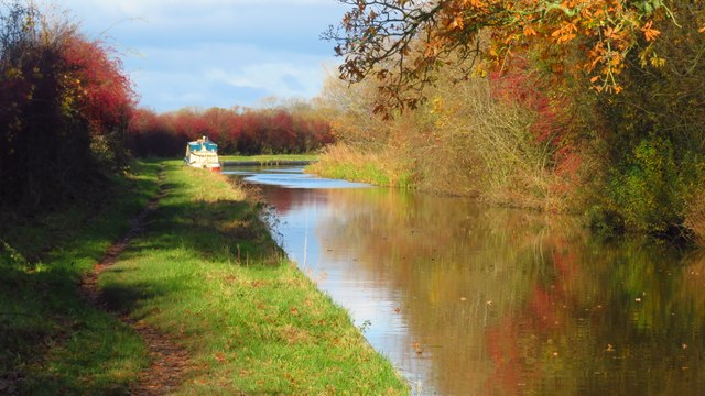
Oakgrove is a village in Cheshire, England. It is part of the civil parish of Sutton and is situated on the Macclesfield Canal which is crossed here by...

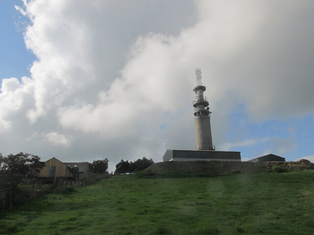
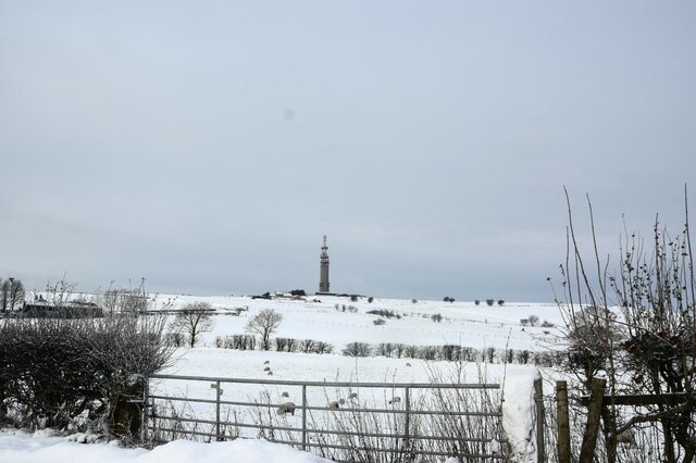
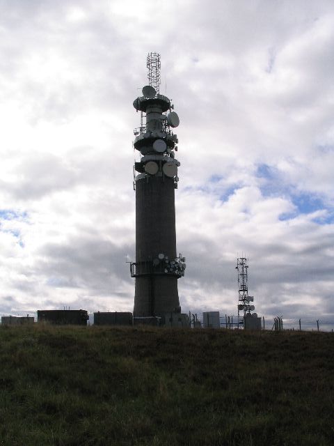
Sutton Common BT Tower
Sutton Common BT Tower is a 72-metre (238-foot) radio tower built of reinforced concrete at Macclesfield, Cheshire, England. Sutton Common was originally...

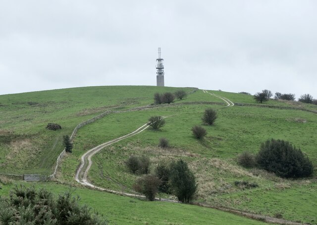
Croker Hill
Croker Hill stands just outside the western edge of the Peak District national park, overlooking Congleton in Cheshire. Near the summit stands the Sutton...

Silk 106.9
Cheshire's Silk Radio is an Independent Local Radio serving Macclesfield and parts of East Cheshire, owned and operated by neighbouring station Chester...
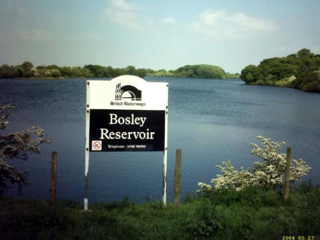
Bosley Reservoir
Bosley Reservoir is a large reservoir created to feed the Macclesfield Canal system, specifically the twelve Bosley locks. It is fed from the surrounding...

North Rode railway station
North Rode railway station originally North Rode junction served the village of North Rode, Cheshire. The station was opened by the North Staffordshire...

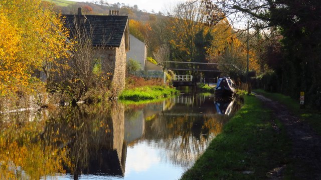
Bosley Lock Flight
Bosley Lock Flight (grid reference SJ904662) is a flight of twelve canal locks, situated on the Macclesfield Canal at Bosley, near Macclesfield, Cheshire...

Church of St Mary the Virgin, Bosley
The Church of St Mary the Virgin is in Leek Road, Bosley, Cheshire, England. It is recorded in the National Heritage List for England as a designated Grade...
Nearby Amenities
Located within 500m of 53.207195,-2.1228365Have you been to High Wood?
Leave your review of High Wood below (or comments, questions and feedback).