Arle Covert
Wood, Forest in Worcestershire Wychavon
England
Arle Covert
Arle Covert is a small village located in the county of Worcestershire, England. Situated amidst the beautiful woodlands and captivating forested areas, it offers a serene and picturesque setting for residents and visitors alike. With a population of around 500 people, Arle Covert maintains a close-knit community atmosphere.
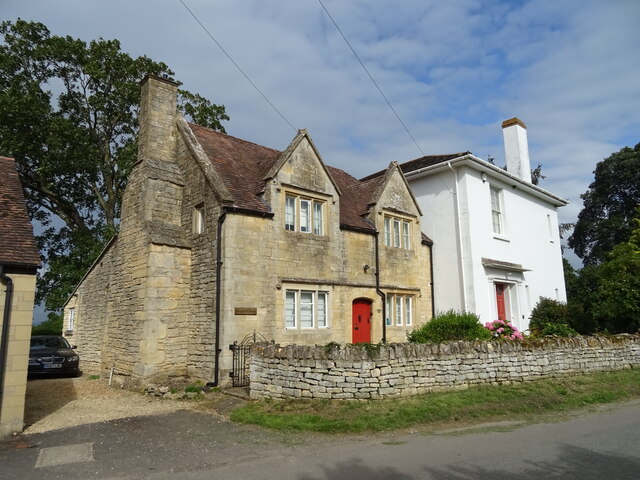
The village is renowned for its rich history, dating back centuries. Ancient artifacts and remnants of Roman occupation have been discovered in the surrounding areas, highlighting the historical significance of the region. Arle Covert's charming stone cottages and traditional architecture provide a glimpse into its past, offering visitors a sense of nostalgia.
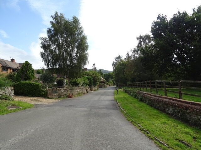
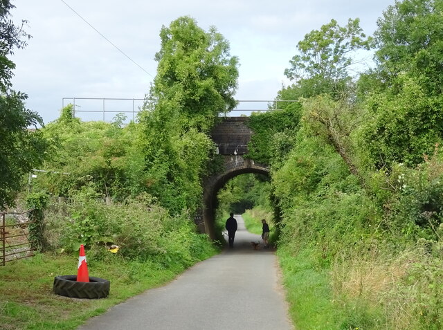
The woodlands surrounding Arle Covert are a prominent feature of the village, attracting nature enthusiasts and outdoor adventurers. The dense forests provide ample opportunities for hiking, cycling, and exploring the natural beauty that Worcestershire has to offer. The area is also home to a diverse range of flora and fauna, making it an ideal spot for birdwatching and wildlife observation.
Arle Covert has limited amenities, with a quaint village shop and a local pub serving as the main social hubs for residents. However, the village is conveniently located near larger towns such as Worcester and Cheltenham, providing access to a wider range of services and facilities.
Overall, Arle Covert, Worcestershire is a tranquil and idyllic village, offering a peaceful escape from the hustle and bustle of modern life. Its historical significance, natural beauty, and strong sense of community make it a truly enchanting place to live or visit.
If you have any feedback on the listing, please let us know in the comments section below.
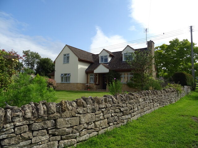
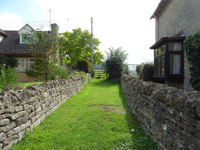
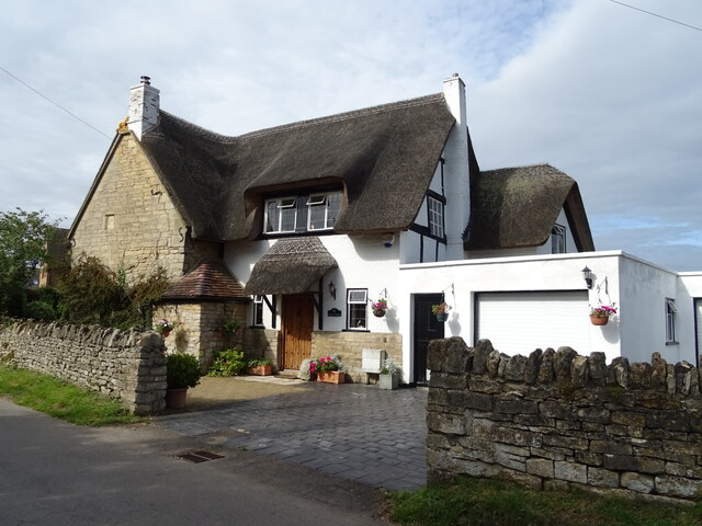
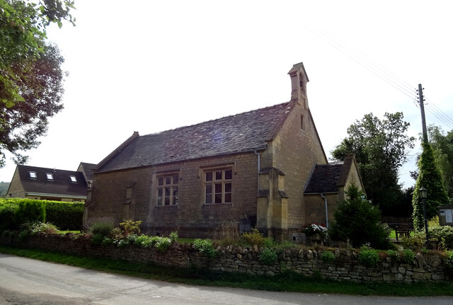
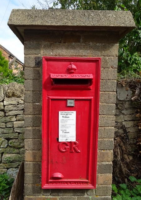
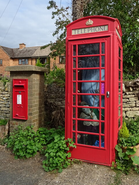
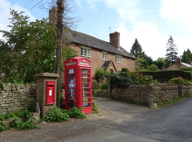
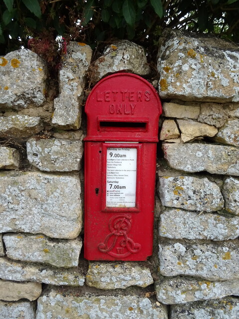
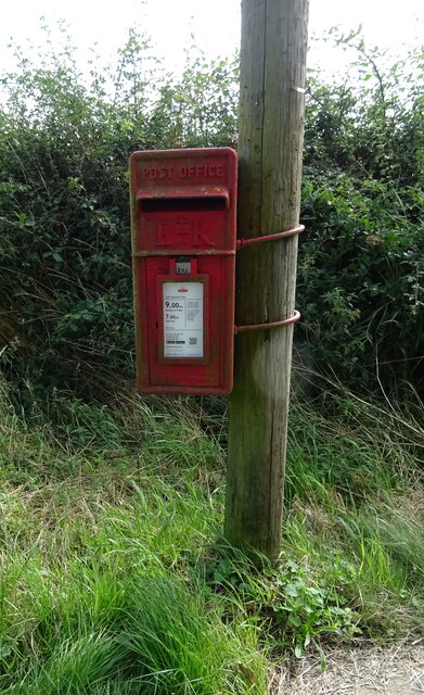
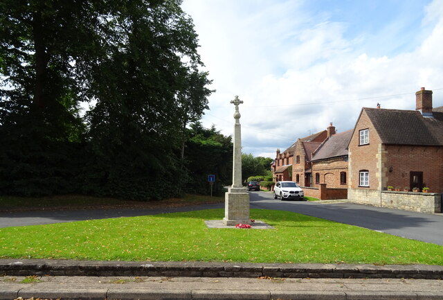
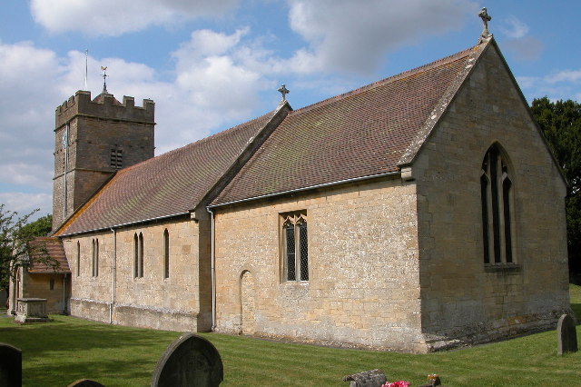
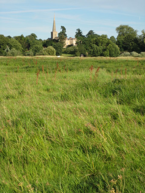
Arle Covert Images
Images are sourced within 2km of 52.052061/-2.1211244 or Grid Reference SO9139. Thanks to Geograph Open Source API. All images are credited.
Arle Covert is located at Grid Ref: SO9139 (Lat: 52.052061, Lng: -2.1211244)
Administrative County: Worcestershire
District: Wychavon
Police Authority: West Mercia
What 3 Words
///farm.evolves.timed. Near Eckington, Worcestershire
Nearby Locations
Related Wikis
Bredon's Norton
Bredon's Norton or Norton-by-Bredon is a village and civil parish 11 miles (18 km) south east of Worcester, in the Wychavon district, in the county of...

St John the Baptist's Church, Strensham
St John the Baptist's Church is a redundant Anglican church in the village of Strensham, Worcestershire, England. It is recorded in the National Heritage...

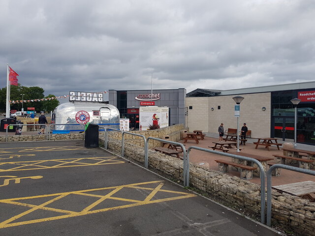
Strensham services
Strensham services is a motorway service station on the M5 in Worcestershire, England. It is operated by Roadchef. In August 2011, it was rated as 4 stars...

Strensham
Strensham is a village in the Wychavon district of Worcestershire. In the 2001 census, the civil parish of Strensham had a population of 314 across 127...
Upham Meadow and Summer Leasow
Upham Meadow and Summer Leasow (grid reference SO917375) is a 104.0-hectare (257-acre) biological Site of Special Scientific Interest on the border between...

Eckington railway station
Eckington railway station was a railway station to serve Eckington in Worcestershire. The station was opened by the Birmingham and Gloucester Railway...

Eckington, Worcestershire
Eckington is a small village near to the southern border of the English county of Worcestershire, according to the 2001 census it had a population of 1...

Bredon
Bredon is a village and civil parish in Wychavon district at the southern edge of Worcestershire in England. It lies on the banks of the River Avon on...
Nearby Amenities
Located within 500m of 52.052061,-2.1211244Have you been to Arle Covert?
Leave your review of Arle Covert below (or comments, questions and feedback).