Cocknage Wood

Wood, Forest in Staffordshire Stafford

England

Cocknage Wood

Queen's Park, Winter Queen's Park in Longton Stoke on Trent. I went there for a local walk during lockdown.
Queen's Park, Winter Credit: Andrew Woodvine

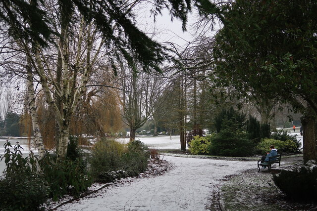
Cocknage Wood is a picturesque woodland located in Staffordshire, England. Covering an area of approximately 100 acres, it forms part of the larger Cannock Chase Forest, which is known for its natural beauty and diverse wildlife.

The woodland consists mainly of broadleaf trees, such as oak, birch, and beech, which provide a dense canopy and create a tranquil atmosphere. A network of well-maintained footpaths and trails winds through the wood, allowing visitors to explore its natural wonders and enjoy the peaceful surroundings.

Cocknage Wood is home to a wide variety of flora and fauna, including rare and protected species. The forest floor is carpeted with bluebells and other wildflowers during spring, creating a vibrant display of colors. Birdwatchers can spot various species, including woodpeckers, tits, and thrushes, while small mammals such as squirrels, rabbits, and foxes can also be observed.

The wood is popular with walkers, joggers, and nature enthusiasts who come to immerse themselves in its tranquil ambiance and enjoy the breath-taking views. It offers a perfect escape from the hustle and bustle of urban life, providing a haven for relaxation and recreation.

Cocknage Wood is easily accessible, with nearby parking facilities and clear signposting. Visitors are encouraged to follow the designated paths and respect the natural environment by not littering or disturbing the wildlife. It is a place where people of all ages can connect with nature and appreciate the beauty of the Staffordshire countryside.

If you have any feedback on the listing, please let us know in the comments section below.

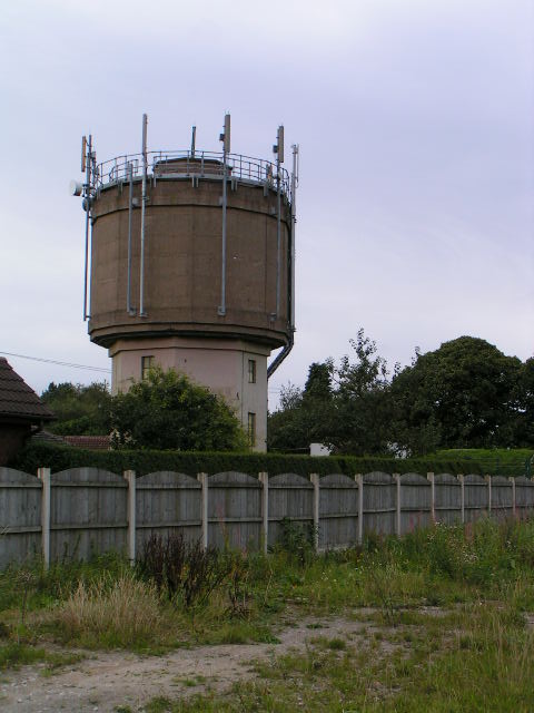
Cocknage Wood Images

Images are sourced within 2km of 52.963918/-2.1291566 or Grid Reference SJ9140. Thanks to Geograph Open Source API. All images are credited.
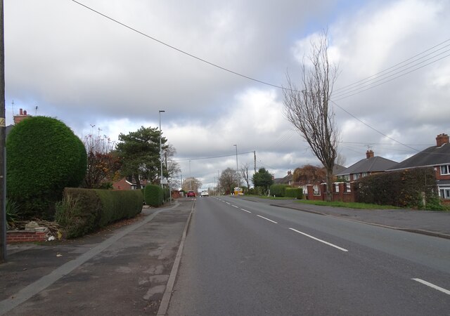
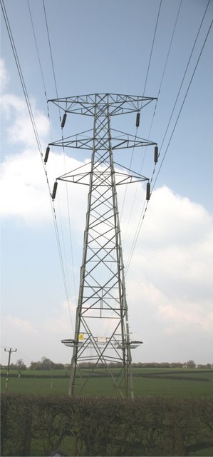
Queen's Park, Winter Queen's Park in Longton Stoke on Trent. I went there for a local walk during lockdown.
Queen's Park, Winter
Queen's Park in Longton Stoke on Trent. I went there for a local walk during lockdown.
Sandon Road The view along the A520 road in Meir Heath, Staffordshire.
Sandon Road
The view along the A520 road in Meir Heath, Staffordshire.
Meir Heath Windmill Former windmill at Meir Heath built in the 18th century.  The building is Grade II listed, see: <span class="nowrap"><a title="https://historicengland.org.uk/listing/the-list/list-entry/1374182?section=official-list-entry" rel="nofollow ugc noopener" href="https://historicengland.org.uk/listing/the-list/list-entry/1374182?section=official-list-entry">Link</a><img style="margin-left:2px;" alt="External link" title="External link - shift click to open in new window" src="https://s1.geograph.org.uk/img/external.png" width="10" height="10"/></span>
Meir Heath Windmill
Former windmill at Meir Heath built in the 18th century. The building is Grade II listed, see: LinkExternal link
The Windmill The Windmill pub in Meir Heath, the pub is named after the former windmill which stand nearby <a href="https://www.geograph.org.uk/photo/7509105">SJ9240 : Meir Heath Windmill</a>.
The Windmill
The Windmill pub in Meir Heath, the pub is named after the former windmill which stand nearby SJ9240 : Meir Heath Windmill.
Water Tower at Meir Heath
Grindley Park Houses in the distance are Sandon Road.[Looking NNW]
Grindley Park
Houses in the distance are Sandon Road.[Looking NNW]
Longton Park Each of the six towns of Stoke on Trent has its own park, this is Longton. They were all created when each town was an authority in its own right prior to federation, when Stoke on Trent was founded in 1910.
Longton Park
Each of the six towns of Stoke on Trent has its own park, this is Longton. They were all created when each town was an authority in its own right prior to federation, when Stoke on Trent was founded in 1910.
Longton War Memorial Dedicated to the memory of those from Meir, Longton and district who gave their lives during both world wars and conflicts since.
Longton War Memorial
Dedicated to the memory of those from Meir, Longton and district who gave their lives during both world wars and conflicts since.
Walkway, Cocknage Lane Just off Cocknage Lane, Dresden, Stoke on Trent this walkway used to be part of a railway line into Florence Colliery, one of the most productive in the region. Alas no more, now a housing estate.
Walkway, Cocknage Lane
Just off Cocknage Lane, Dresden, Stoke on Trent this walkway used to be part of a railway line into Florence Colliery, one of the most productive in the region. Alas no more, now a housing estate.
Lightwood Road Methodist chapel and rooms Lightwood, Stoke on Trent
Lightwood Road
Methodist chapel and rooms Lightwood, Stoke on Trent
Normacot Church Account from a 1851 gazetteer: "Normacot church, a beautiful structure in the style which prevailed in the 13th century, was erected by the Duke of Sutherland, in 1847. The curacy is annexed to Blurton, and the incumbent is the Rev Canon Hutchinson, MA."
Normacot Church
Account from a 1851 gazetteer: "Normacot church, a beautiful structure in the style which prevailed in the 13th century, was erected by the Duke of Sutherland, in 1847. The curacy is annexed to Blurton, and the incumbent is the Rev Canon Hutchinson, MA."
Queensberry School, Normacot
Old Corn Windmill Tower This Wind Cornmill Tower stands in the carpark of the windmill inn at Meir Heath
Old Corn Windmill Tower
This Wind Cornmill Tower stands in the carpark of the windmill inn at Meir Heath
Track leading to Blurton Grange Farm
Electricity Pylons These pylons head towards Cocknage Farm.
Electricity Pylons
These pylons head towards Cocknage Farm.
Pylon Pylon in fields adjacent to South Cocknage Farm.
Pylon
Pylon in fields adjacent to South Cocknage Farm.
Barlaston Road
Barlaston Road
Barlaston Road
Barlaston Road
Show me another place!

Cocknage Wood is located at Grid Ref: SJ9140 (Lat: 52.963918, Lng: -2.1291566)

Administrative County: Staffordshire

District: Stafford

Police Authority: Staffordshire

What 3 Words

///larger.hooked.solved. Near Longton, Staffordshire

Nearby Locations

Cocknage Wood

Related Wikis

Florence, Staffordshire

Florence is a suburb of Stoke-on-Trent, in the Stoke-on-Trent district, in the ceremonial county of Staffordshire, England. It is near Meir. Florence Colliery...

Normacot

Normacot is an area of Stoke-on-Trent, in the county of Staffordshire, England. Notable buildings include the church of the Holy Evangelists by Scott...

Lightwood, Stoke-on-Trent

Lightwood is a suburb of Stoke-on-Trent, Staffordshire, England. It is located to the south of Longton, and Lightwood Road runs from here to Rough Close...

Barlaston and Rough Close Common

Barlaston and Rough Close Common is a local nature reserve, an area of heathland in Staffordshire, England, near Barlaston and about 3 miles (4.8 km) north...

Ormiston Meridian Academy

Ormiston Meridian Academy is a co-educational secondary school located in the Meir area of the City of Stoke-on-Trent, Staffordshire, England. The school...

Meir Heath

Meir Heath is a village just to the south of Stoke-on-Trent, Staffordshire situated on a hilltop between Meir and Rough Close, 2+1⁄2 miles from Barlaston...

Dresden, Staffordshire

Dresden is a southern district of Stoke-on-Trent, Staffordshire, England, on Trentham Road (A5035) south of Longton. The district was developed in the...

Longton Cricket Club Ground

Longton Cricket Club Ground is a cricket ground in Stoke-on-Trent, Staffordshire. The first recorded match on the ground was in 1954, when Staffordshire...

Nearby Amenities

Located within 500m of 52.963918,-2.1291566
Natural: peak
Source: NLS - OS 1:25k 1st Series 1937-61
Lat/Long: 52.9603373/-2.1261355
Addr Housename: Bramble Cottage
Source: OS OpenData StreetView
Lat/Long: 52.9598532/-2.131965
Addr City: Stoke-on-Trent
Addr Housename: Cocknage Farm
Addr Postcode: ST3 4AE
Addr Street: Woodpark Lane
Lat/Long: 52.9656241/-2.1325389
Addr City: Stoke-on-Trent
Addr Housename: The Firs
Addr Housenumber: Holding 33
Addr Postcode: ST3 4AE
Addr Street: Woodpark Lane
Lat/Long: 52.9650813/-2.1305863
Addr Housenumber: Barn 4
Addr Postcode: ST3 4AE
Addr Street: Woodpark Lane
Lat/Long: 52.9656339/-2.1330968
Addr City: Stoke-on-Trent
Addr Housename: Woodlands
Addr Postcode: ST3 4AB
Addr Street: Cocknage Road
Lat/Long: 52.96498/-2.127491
Addr Housenumber: Barn 1
Addr Postcode: ST3 4AE
Addr Street: Woodpark Lane
Lat/Long: 52.9658181/-2.1327428
Addr City: Stoke-on-Trent
Addr Housename: Crossways
Addr Postcode: ST3 4AE
Addr Street: Woodpark Lane
Lat/Long: 52.9662241/-2.1282635
Addr City: Stoke-on-Trent
Addr Housenumber: Holding 32
Addr Postcode: ST3 4AE
Addr Street: Woodpark Lane
Lat/Long: 52.9652493/-2.1302483
Addr Housenumber: Holding 19
Addr Street: Woodpark Lane
Lat/Long: 52.9660367/-2.1350763
Addr City: Stoke-on-Trent
Addr Housenumber: Barn 5
Addr Postcode: ST3 4AE
Addr Street: Woodpark Lane
Lat/Long: 52.9655693/-2.1329251
Addr City: Stoke-on-Trent
Addr Housenumber: Barn 3
Addr Postcode: ST3 4AE
Addr Street: Woodpark Lane
Lat/Long: 52.9657889/-2.1330646
Addr City: Stoke-on-Trent
Addr Housenumber: Barn 2
Addr Postcode: ST3 4AE
Addr Street: Woodpark Lane
Lat/Long: 52.9658795/-2.1329412
Cold Ridings
Place: hamlet
Lat/Long: 52.9663588/-2.127762
Cocknage Wood
Man Made: survey_point
Ref: TP2315
Lat/Long: 52.9643015/-2.1285341
The data included in this document is from www.openstreetmap.org. The data is made available under ODbL.

Have you been to Cocknage Wood?

Leave your review of Cocknage Wood below (or comments, questions and feedback).