South Covert
Wood, Forest in Worcestershire Wychavon
England
South Covert
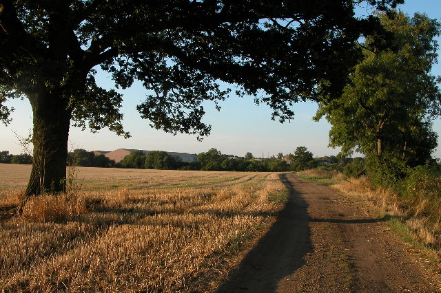
South Covert is a picturesque woodland area located in Worcestershire, England. Situated in the heart of the county, it is renowned for its natural beauty and tranquil atmosphere. Covering an expansive area, South Covert is characterized by dense forests, towering trees, and a diverse range of flora and fauna.
The woodland is predominantly composed of deciduous trees, including oak, beech, and birch, which create a vibrant and ever-changing landscape throughout the seasons. The forest floor is covered with a lush carpet of ferns, wildflowers, and mosses, providing a haven for various wildlife species.
South Covert is a paradise for nature enthusiasts and offers numerous walking trails and paths for visitors to explore. These trails wind through the woods, leading to hidden glades, babbling brooks, and serene ponds, offering a chance to observe the wildlife in their natural habitat. The woods are home to a variety of bird species, including woodpeckers, owls, and thrushes, as well as mammals such as deer, badgers, and foxes.
In addition to its natural beauty, South Covert also holds historical significance. The woodland is believed to have been in existence for centuries and has witnessed various historical events. Remnants of ancient settlements, such as old stone walls and burial mounds, can still be found within the forest, adding to its allure.
South Covert is a cherished natural treasure in Worcestershire, attracting visitors from near and far who seek solace in its peaceful surroundings and wish to immerse themselves in the beauty of nature.
If you have any feedback on the listing, please let us know in the comments section below.
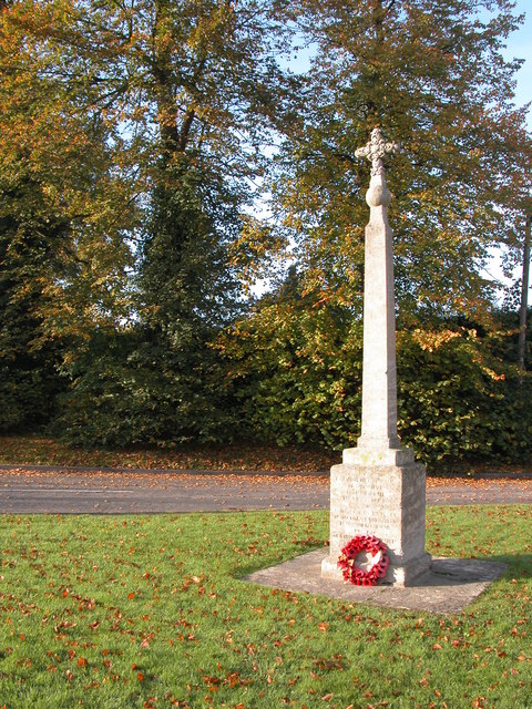
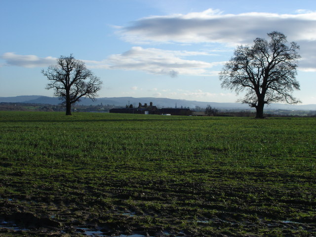
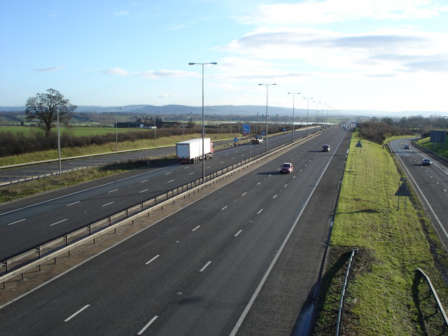
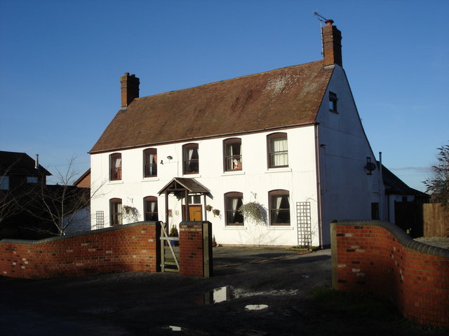
South Covert Images
Images are sourced within 2km of 52.061692/-2.1279185 or Grid Reference SO9140. Thanks to Geograph Open Source API. All images are credited.


South Covert is located at Grid Ref: SO9140 (Lat: 52.061692, Lng: -2.1279185)
Administrative County: Worcestershire
District: Wychavon
Police Authority: West Mercia
What 3 Words
///destroyer.explain.kiosk. Near Eckington, Worcestershire
Nearby Locations
Related Wikis

St John the Baptist's Church, Strensham
St John the Baptist's Church is a redundant Anglican church in the village of Strensham, Worcestershire, England. It is recorded in the National Heritage...

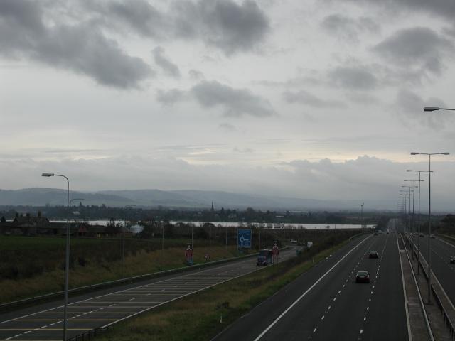
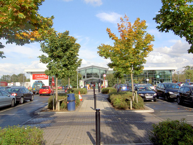
Strensham services
Strensham services is a motorway service station on the M5 in Worcestershire, England. It is operated by Roadchef. In August 2011, it was rated as 4 stars...

Eckington railway station
Eckington railway station was a railway station to serve Eckington in Worcestershire. The station was opened by the Birmingham and Gloucester Railway...

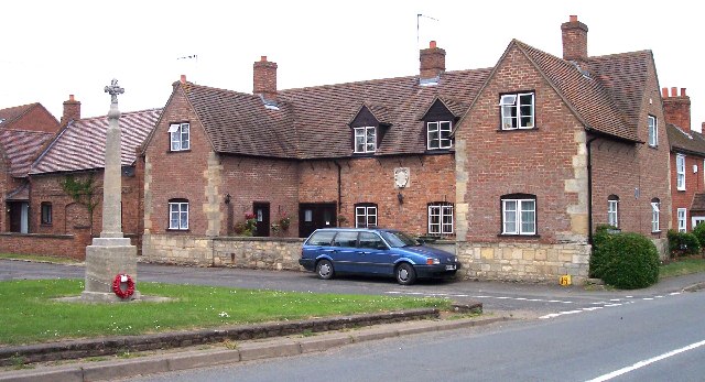
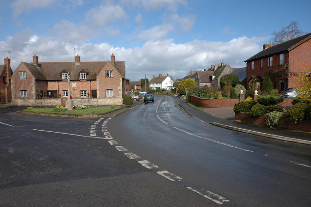
Eckington, Worcestershire
Eckington is a small village near to the southern border of the English county of Worcestershire, according to the 2001 census it had a population of 1...
Related Videos
Walking Through a Cotswold Village as the Last Dregs of Civil Dawn Turn to Daylight
So, today we are out and about walking in the village of Bredon's Norton which is a civil parish 11 miles south east of Worcester in ...

Holiday Cheer in 'The Oxwich' | Our First Christmas Tree On The Road! 🎄✨ #OxwichAdventures
Join us in our cozy motorhome, 'The Oxwich,' as Arthur and I put up our first-ever Christmas tree and decorations on the road!

River Avon -Eckington Bridge
Old Nick approaching and going through Eckington Bridge. Early morning May '22.

Eckington picnic spot, Eckington wharf Pershore UK
Eckington picnic spot Pershore UK.
Nearby Amenities
Located within 500m of 52.061692,-2.1279185Have you been to South Covert?
Leave your review of South Covert below (or comments, questions and feedback).