Cowage Gorse

Wood, Forest in Wiltshire

England

Cowage Gorse

Milestone, Sherston Road This milestone has unfortunately lost part of its metal front in the last few years, see <a title="https://www.geograph.org.uk/photo/6072715" href="https://www.geograph.org.uk/photo/6072715">Link</a>
Milestone, Sherston Road Credit: Vieve Forward

Cowage Gorse is a dense woodland located in the county of Wiltshire, England. Situated in the southern part of the county, it covers an area of approximately 200 acres. The woodland is part of the larger Cranborne Chase and West Wiltshire Downs Area of Outstanding Natural Beauty.

The woodland is predominantly composed of gorse, a spiny evergreen shrub that is native to the area. The gorse provides a dense and prickly undergrowth, which creates a natural barrier within the woodland. However, there are also other tree species present, such as oak, ash, and birch, which add to the diversity of the habitat.

Cowage Gorse is home to a variety of wildlife species. The dense vegetation provides excellent cover for small mammals, including rabbits, mice, and voles. The woodland is also a haven for birdlife, with species such as woodpeckers, owls, and warblers frequently spotted.

The woodland is a popular destination for nature enthusiasts and walkers. There are several walking trails that weave through the woodland, allowing visitors to explore its beauty and tranquility. The dense vegetation and undulating terrain provide an immersive experience in nature.

Cowage Gorse is managed by the local council and conservation organizations to preserve its natural beauty and protect its wildlife. Efforts are made to maintain a healthy ecosystem and promote the growth of native flora and fauna. The woodland serves as an important ecological corridor, linking other wooded areas in the region and providing a vital habitat for biodiversity.

If you have any feedback on the listing, please let us know in the comments section below.
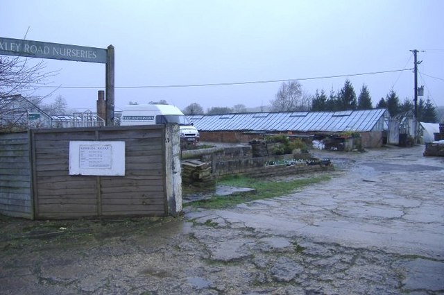
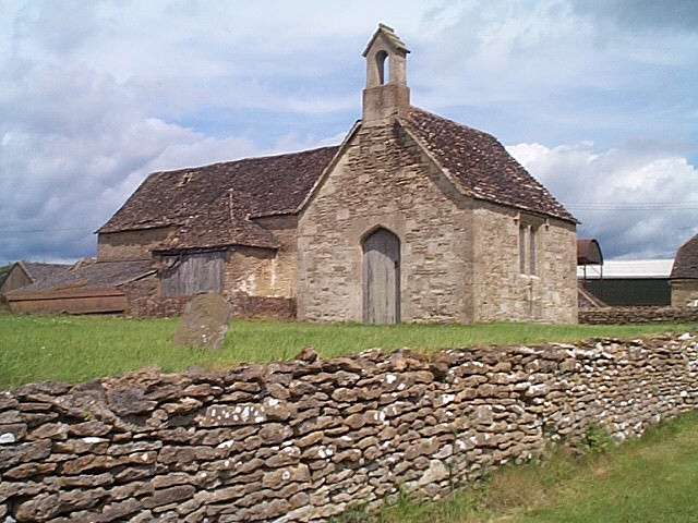
Cowage Gorse Images

Images are sourced within 2km of 51.572781/-2.1270293 or Grid Reference ST9185. Thanks to Geograph Open Source API. All images are credited.

Milestone, Sherston Road This milestone has unfortunately lost part of its metal front in the last few years, see <a title="https://www.geograph.org.uk/photo/6072715" href="https://www.geograph.org.uk/photo/6072715">Link</a>
Milestone, Sherston Road
This milestone has unfortunately lost part of its metal front in the last few years, see Link
Twatley Cottages
Twatley Cottages
The Red Bull
The Red Bull
Gated footpath to Hyam Wood
Bremilham Church in Cowage Farmyard Bremilham Church in Cowage Farmyard, used once a year on Rogation Sunday
Bremilham Church in Cowage Farmyard
Bremilham Church in Cowage Farmyard, used once a year on Rogation Sunday
Twatley Cottages On the B4040 to the west of Malmesbury. View looking southeast from the junction with the minor road to Shipton Moyne.
Twatley Cottages
On the B4040 to the west of Malmesbury. View looking southeast from the junction with the minor road to Shipton Moyne.
Bristol Street, Malmesbury This is the main road west towards Sherston and eventually - Bristol.
Bristol Street, Malmesbury
This is the main road west towards Sherston and eventually - Bristol.
Malmesbury comprehensive school The external appearance of these new buildings created some local controversy.
Malmesbury comprehensive school
The external appearance of these new buildings created some local controversy.
Corn Gastons estate A 20th century development on the west side of this ancient town.
Corn Gastons estate
A 20th century development on the west side of this ancient town.
Exercising the horses A rider with two horses braves the showers, on Common Road.
Exercising the horses
A rider with two horses braves the showers, on Common Road.
Green lane to Home farm A rather damp track from Common Road.
Green lane to Home farm
A rather damp track from Common Road.
Burnt Heath farm Fresh tarmac on the farm road leading joining Common Road.
Burnt Heath farm
Fresh tarmac on the farm road leading joining Common Road.
Port Meadow House Sited near the Common Road between Corston and Malmesbury.
Port Meadow House
Sited near the Common Road between Corston and Malmesbury.
Cowage farmhouse A view across the meadows.
Cowage farmhouse
A view across the meadows.
Allotments on Foxley Road Serving an expanding community to the south west of Malmesbury.
Allotments on Foxley Road
Serving an expanding community to the south west of Malmesbury.
Foxley Road nurseries Preparations for Spring are under way.
Foxley Road nurseries
Preparations for Spring are under way.
The road from Malmesbury An Edwardian house stands on the minor road leading south west to Foxley.
The road from Malmesbury
An Edwardian house stands on the minor road leading south west to Foxley.
Old house on Foxley Road A detached house with 'potential'.
Old house on Foxley Road
A detached house with 'potential'.
Show me another place!

Cowage Gorse is located at Grid Ref: ST9185 (Lat: 51.572781, Lng: -2.1270293)

Unitary Authority: Wiltshire

Police Authority: Wiltshire

What 3 Words

///info.lands.reprints. Near Malmesbury, Wiltshire

Nearby Locations

Cowage Gorse

Related Wikis

Bremilham

Bremilham, also known as Cowage or Cowich, is a small settlement and former civil parish in north Wiltshire, England. It is near the hamlet of Foxley in...

Malmesbury School

Malmesbury School in Malmesbury, Wiltshire, England, was founded in 1971 with the merger of Malmesbury Grammar School at Filands with Bremhilam Secondary...

Whatley Manor

Whatley Manor is a hotel, restaurant and spa housed in a former farm and estate buildings, near Easton Grey in the southern Cotswolds, about 2 miles (3...

Malmesbury Hundred

Malmesbury was a hundred of the English county of Wiltshire, lying in the north of the county and centring on the historic borough and market town of Malmesbury...

Related Videos

A relaxing walk through Malmesbury, Wiltshire, England - 4K Video

A Walk through Malmesbury, Wiltshire, England - 4K Video seeing the Abbey and town. See what we see and go where we go.

We Visited The STUNNING Malmesbury! (The BEST Walks in the UK Series)

Come and join us, as we visit the majestic Malmesbury, in the wonderful Cotswolds for part of our BEST walks in the UK series.

Malmesbury Abbey.

omafaraway #travel #shorts #shortsvideo #malmesbury #abbey #malmesburyabbey #wiltshire #uk #omafaraway #roadtrip ...

Malmesbury - What lies beneath

Malmesbury is best known for its amazing 12th century abbey ⛪ In this video I show what was there before the abbey, going back ...

Nearby Amenities

Located within 500m of 51.572781,-2.1270293
Material: wood
Power: pole
Lat/Long: 51.5751959/-2.1222121
Material: wood
Power: pole
Lat/Long: 51.5738307/-2.1228746
Material: wood
Power: pole
Lat/Long: 51.5730405/-2.1240199
Material: wood
Power: pole
Lat/Long: 51.572262/-2.125133
Material: wood
Power: pole
Lat/Long: 51.5716568/-2.1260101
Material: wood
Power: pole
Lat/Long: 51.5709716/-2.1269971
Material: wood
Power: pole
Lat/Long: 51.5700664/-2.1283034
Material: wood
Power: pole
Lat/Long: 51.5691695/-2.1296069
The data included in this document is from www.openstreetmap.org. The data is made available under ODbL.

Have you been to Cowage Gorse?

Leave your review of Cowage Gorse below (or comments, questions and feedback).