Scoska Wood

Wood, Forest in Yorkshire Craven

England

Scoska Wood

Benchmark on stone at base of wall on south side of road west of Litton Ordnance Survey rivet benchmark levelled at 257.779m above Newlyn Datum verified 1954
Benchmark on stone at base of wall on south side of road west of Litton Credit: Roger Templeman

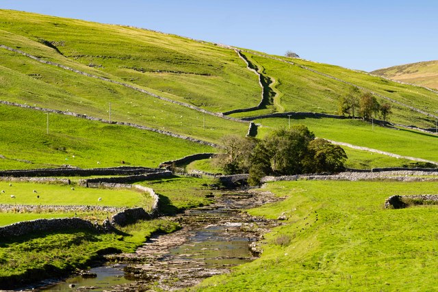
Scoska Wood is a picturesque woodland located in the county of Yorkshire, England. Nestled within the expansive landscape of the Yorkshire Dales National Park, this forested area covers a sprawling area of approximately 100 acres, making it a popular destination for nature enthusiasts and outdoor lovers.

The wood is characterized by its dense canopy of trees, primarily consisting of oak, beech, and birch, which create a serene and tranquil atmosphere. The diverse range of flora and fauna found within Scoska Wood contributes to its status as a designated Site of Special Scientific Interest (SSSI).

Visitors to this enchanting woodland can expect to encounter a variety of wildlife, including deer, badgers, and an array of bird species. The wood also boasts a network of well-maintained footpaths and trails that allow visitors to explore its natural beauty at their own pace.

Scoska Wood provides a perfect retreat for those seeking solace in nature, as well as opportunities for recreational activities such as walking, hiking, and birdwatching. The wood is accessible year-round and showcases the changing seasons with a kaleidoscope of vibrant colors in autumn, a carpet of bluebells in spring, and the lush greenery of summer.

In addition to its natural splendor, Scoska Wood also has historical significance. The remains of an ancient Roman road can still be seen, adding an element of intrigue and fascination for history enthusiasts.

Overall, Scoska Wood in Yorkshire offers a captivating blend of natural beauty, wildlife, and historical charm, making it a must-visit destination for anyone seeking an escape into the heart of nature.

If you have any feedback on the listing, please let us know in the comments section below.
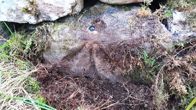
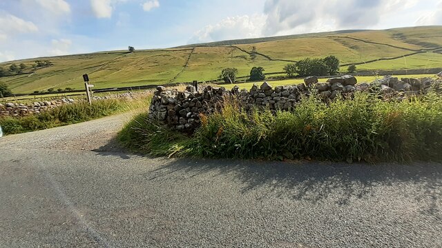
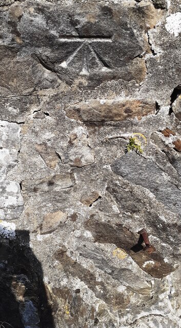
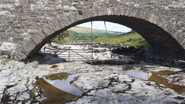
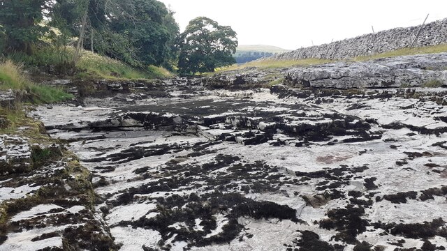
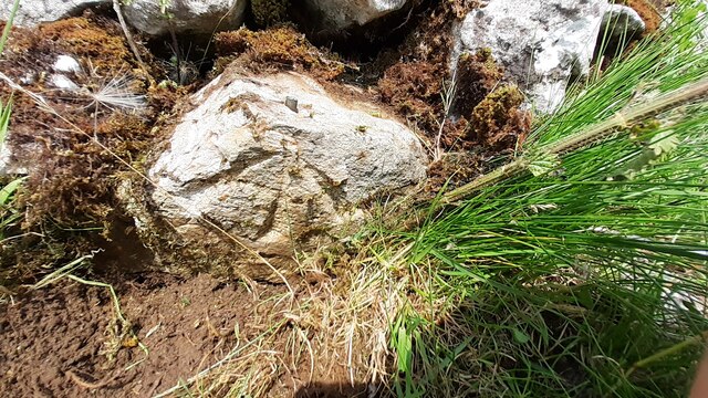
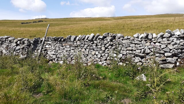
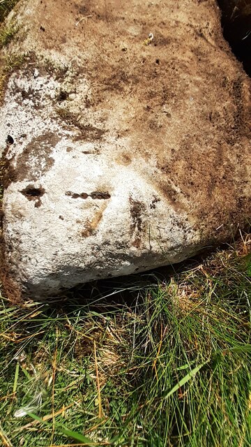
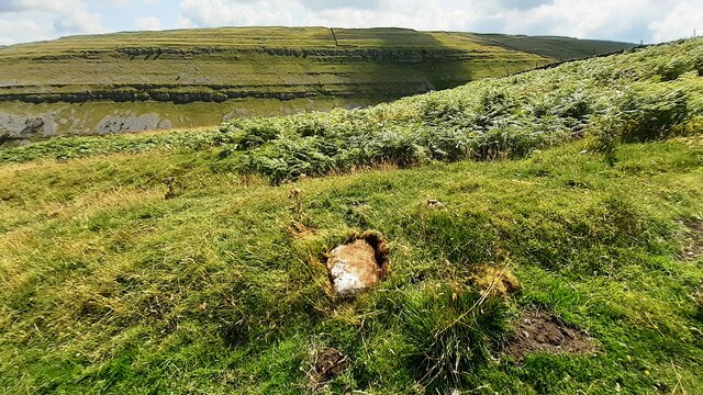
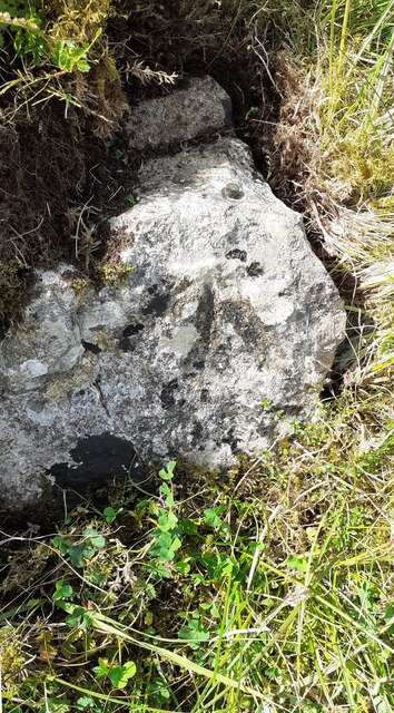
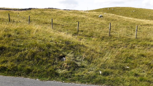
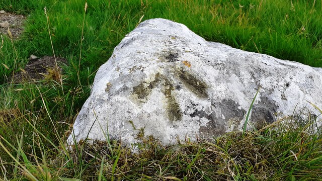
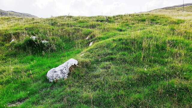
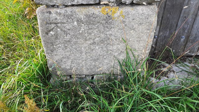
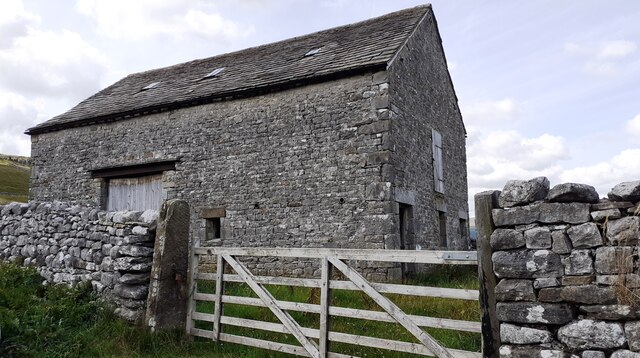
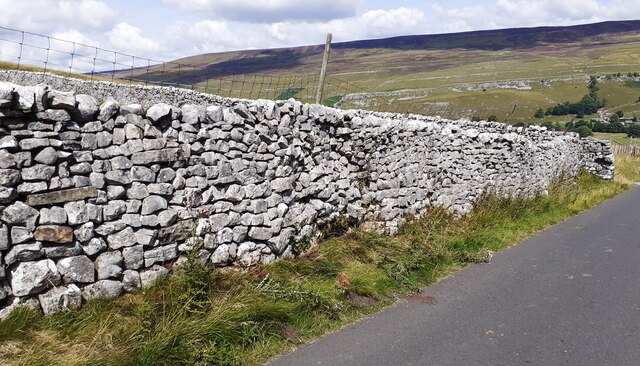
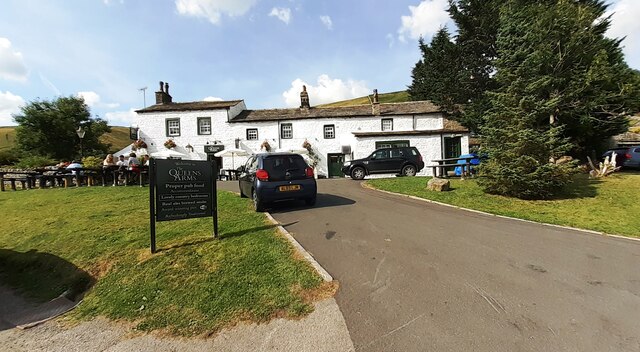
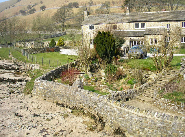
Scoska Wood Images

Images are sourced within 2km of 54.151348/-2.1375629 or Grid Reference SD9172. Thanks to Geograph Open Source API. All images are credited.

Benchmark on stone at base of wall on south side of road west of Litton Ordnance Survey rivet benchmark levelled at 257.779m above Newlyn Datum verified 1954
Benchmark on stone at base of wall on south side of road west of Litton
Ordnance Survey rivet benchmark levelled at 257.779m above Newlyn Datum verified 1954
Track towards bridge over River Skirfare from road to Litton There is an Ordnance Survey benchmark <a href="https://www.geograph.org.uk/photo/6926956">SD8974 : Benchmark on stone at base of wall on south side of road west of Litton</a> on the base of the wall about 3 feet from the corner
Track towards bridge over River Skirfare from road to Litton
There is an Ordnance Survey benchmark SD8974 : Benchmark on stone at base of wall on south side of road west of Litton on the base of the wall about 3 feet from the corner
Benchmark on back of west parapet of bridge taking track over River Skirfare Ordnance Survey cut mark benchmark levelled at 254.843m above Newlyn Datum verified 1954
Benchmark on back of west parapet of bridge taking track over River Skirfare
Ordnance Survey cut mark benchmark levelled at 254.843m above Newlyn Datum verified 1954
Bridge taking track over River Skirfare 1km west of Litton There is an Ordnance Survey benchmark <a href="https://www.geograph.org.uk/photo/6927562">SD8974 : Benchmark on back of west parapet of bridge taking track over River Skirfare</a> on the bridge wall on the left hand side of its arch
Bridge taking track over River Skirfare 1km west of Litton
There is an Ordnance Survey benchmark SD8974 : Benchmark on back of west parapet of bridge taking track over River Skirfare on the bridge wall on the left hand side of its arch
View west along the dry bed of River Skirfare at New Bridge
New Bridge New Bridge on the River Skirfare.
New Bridge
New Bridge on the River Skirfare.
Benchmark on stone at base of wall on NW side of road above The Gill Ordnance Survey rivet benchmark levelled at 372.197m above Newlyn Datum verified 1954
Benchmark on stone at base of wall on NW side of road above The Gill
Ordnance Survey rivet benchmark levelled at 372.197m above Newlyn Datum verified 1954
View over roadside dry stone wall of moorland above The Gill There is an Ordnance Survey benchmark <a href="https://www.geograph.org.uk/photo/6924136">SD9170 : Benchmark on stone at base of wall on NW side of road above The Gill</a> on a stone at the base of the wall
View over roadside dry stone wall of moorland above The Gill
There is an Ordnance Survey benchmark SD9170 : Benchmark on stone at base of wall on NW side of road above The Gill on a stone at the base of the wall
Benchmark on boulder in field on SW side of road above Cowside Beck Ordnance Survey pivot benchmark levelled at  336.691m above Newlyn Datum verified 1954
Benchmark on boulder in field on SW side of road above Cowside Beck
Ordnance Survey pivot benchmark levelled at 336.691m above Newlyn Datum verified 1954
View from road SW of Arncliffe towards Cowside Beck valley There is an Ordnance Survey benchmark <a href="https://www.geograph.org.uk/photo/6924198">SD9271 : Benchmark on boulder in field on SW side of road above Cowside Beck</a> on the boulder in the middle foreground
View from road SW of Arncliffe towards Cowside Beck valley
There is an Ordnance Survey benchmark SD9271 : Benchmark on boulder in field on SW side of road above Cowside Beck on the boulder in the middle foreground
Benchmark on rock in NW verge of moorland road west of Brootes Barn Ordnance Survey rivet benchmark levelled at 285.461m above Newlyn Datum verified 1954
Benchmark on rock in NW verge of moorland road west of Brootes Barn
Ordnance Survey rivet benchmark levelled at 285.461m above Newlyn Datum verified 1954
Moorland NW of moorland road west of Brootes Barn There is an Ordnance Survey benchmark <a href="https://www.geograph.org.uk/photo/6924774">SD9271 : Benchmark on rock in NW verge of moorland road west of Brootes Barn</a> on the rock in the verge just left of centre of the image
Moorland NW of moorland road west of Brootes Barn
There is an Ordnance Survey benchmark SD9271 : Benchmark on rock in NW verge of moorland road west of Brootes Barn on the rock in the verge just left of centre of the image
Benchmark on rock in field off south side of road west of Brootes Barn Ordnance Survey pivot benchmark levelled at 268.108m above Newlyn Datum verified 1954
Benchmark on rock in field off south side of road west of Brootes Barn
Ordnance Survey pivot benchmark levelled at 268.108m above Newlyn Datum verified 1954
Grass moorland on south side of road west of Brootes Barn There is an Ordnance Survey benchmark <a href="https://www.geograph.org.uk/photo/6924811">SD9271 : Benchmark on rock in field off south side of road west of Brootes Barn</a> on the large rock in the foreground, left of centre
Grass moorland on south side of road west of Brootes Barn
There is an Ordnance Survey benchmark SD9271 : Benchmark on rock in field off south side of road west of Brootes Barn on the large rock in the foreground, left of centre
Benchmark on Brootes Barn Ordnance Survey cut mark benchmark levelled at 252.399m above Newlyn Datum verified 1954
Benchmark on Brootes Barn
Ordnance Survey cut mark benchmark levelled at 252.399m above Newlyn Datum verified 1954
Brootes Barn There is an Ordnance Survey benchmark <a href="https://www.geograph.org.uk/photo/6924875">SD9271 : Benchmark on Brootes Barn</a> on the right hand side of the barn at its front corner
Brootes Barn
There is an Ordnance Survey benchmark SD9271 : Benchmark on Brootes Barn on the right hand side of the barn at its front corner
Moorland road SW of Brootes Barn Ordnance Survey documents indicate that a benchmark levelled at 321.403m above Newlyn Datum was verified in 1954 on a boulder on the side of the road here
Moorland road SW of Brootes Barn
Ordnance Survey documents indicate that a benchmark levelled at 321.403m above Newlyn Datum was verified in 1954 on a boulder on the side of the road here
The Queens Arms
The Queens Arms
Show me another place!

Scoska Wood is located at Grid Ref: SD9172 (Lat: 54.151348, Lng: -2.1375629)

Division: West Riding

Administrative County: North Yorkshire

District: Craven

Police Authority: North Yorkshire

What 3 Words

///toenail.lightly.outnumber. Near Grassington, North Yorkshire

Related Wikis

Scoska Wood

Scoska Wood is an IUCN Category IV – habitat or species management area, a British national nature reserve (NNR), and a Site of Special Scientific Interest...

Litton, North Yorkshire

Litton is a village and civil parish in Littondale in the Yorkshire Dales in England. It lies in the Craven District of North Yorkshire, 1.5 miles (2...

Arncliffe, North Yorkshire

Arncliffe is a small village and civil parish in Littondale, one of the Yorkshire Dales in England. Littondale is a small valley beside Upper Wharfedale...

Hesleden, North Yorkshire

Hesleden is a hamlet in Littondale in the Yorkshire Dales in England. It lies within the civil parish of Halton Gill in the Craven district of North Yorkshire...

Birks Fell

Birks Fell is a hill in the Yorkshire Dales, near to Hubberholme in North Yorkshire, England. It is classed as a Marilyn (a hill with topographic prominence...

Fountains Fell Tarn

Fountains Fell Tarn, is an upland lake between the two peaks of Fountains Fell, in North Yorkshire, England. The tarn is close to the Pennine Way, some...

Ewecross

The historical area of Ewecross or Ewcross is a district in the West Riding of Yorkshire, England. It included the parishes of Bentham, Clapham, Horton...

Starbotton

Starbotton is a village of around 60 houses in Upper Wharfedale in the Craven district of North Yorkshire, England. It is situated in the Yorkshire Dales...

Nearby Amenities

Located within 500m of 54.151348,-2.1375629
Guildersbank Barn
Historic: archaeological_site
Source: OS 1851;DigitalGlobe-Premium
Source Name: OS 1851 Yorkshire 115
Lat/Long: 54.1521638/-2.1348637
Ford: stepping_stones
Lat/Long: 54.1530305/-2.1353459
Barrier: stile
Material: stone
Stile: squeezer
Lat/Long: 54.1529608/-2.1354341
The data included in this document is from www.openstreetmap.org. The data is made available under ODbL.

Have you been to Scoska Wood?

Leave your review of Scoska Wood below (or comments, questions and feedback).