Cloud Wood
Wood, Forest in Staffordshire Staffordshire Moorlands
England
Cloud Wood
Cloud Wood is a picturesque woodland located in Staffordshire, England. Covering an area of approximately 30 hectares, the wood is known for its diverse ecosystem and stunning natural beauty. It is situated on the outskirts of the village of Abbot's Bromley, in close proximity to the Cannock Chase Area of Outstanding Natural Beauty.
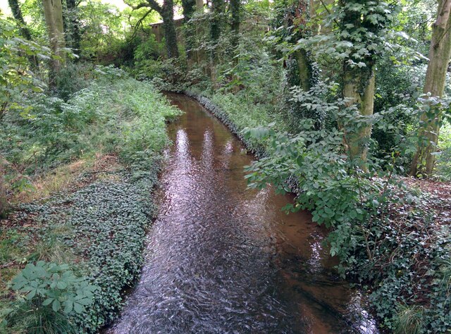
The wood is predominantly composed of broadleaf trees, including oak, birch, and beech, creating a rich and varied canopy that provides shelter and habitat for a wide range of wildlife. The forest floor is carpeted with an array of wildflowers, creating a vibrant and colorful display during the spring and summer months.
Cloud Wood is a designated Site of Biological Importance, recognized for its unique and important flora and fauna. The wood is home to several rare and protected species, including the lesser spotted woodpecker, dormouse, and various species of orchids.
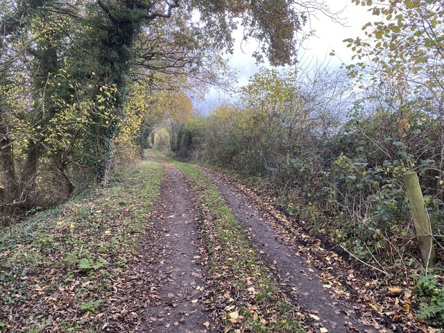
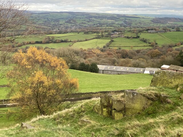
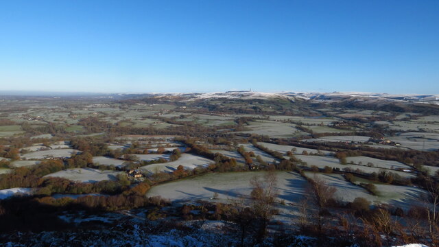
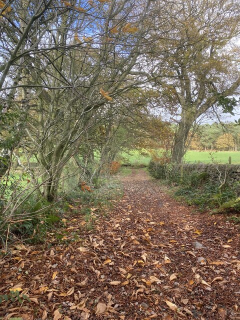
The wood is a popular destination for nature enthusiasts, offering a network of well-maintained footpaths and trails that allow visitors to explore its beauty. There are also several viewpoints within the wood that provide stunning vistas of the surrounding countryside.
Managed by the Staffordshire Wildlife Trust, Cloud Wood is carefully preserved and maintained to ensure its ecological value and natural beauty are protected for future generations to enjoy. The trust conducts regular conservation work, including tree planting and habitat restoration, to enhance the wood's biodiversity and ecological health.
Overall, Cloud Wood is a tranquil and enchanting forest that offers a haven for wildlife and a peaceful retreat for visitors to immerse themselves in nature.
If you have any feedback on the listing, please let us know in the comments section below.
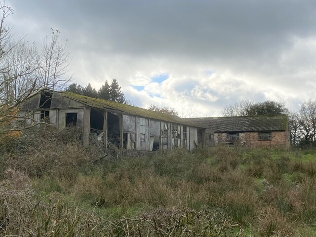
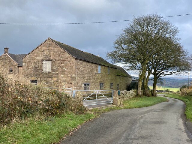
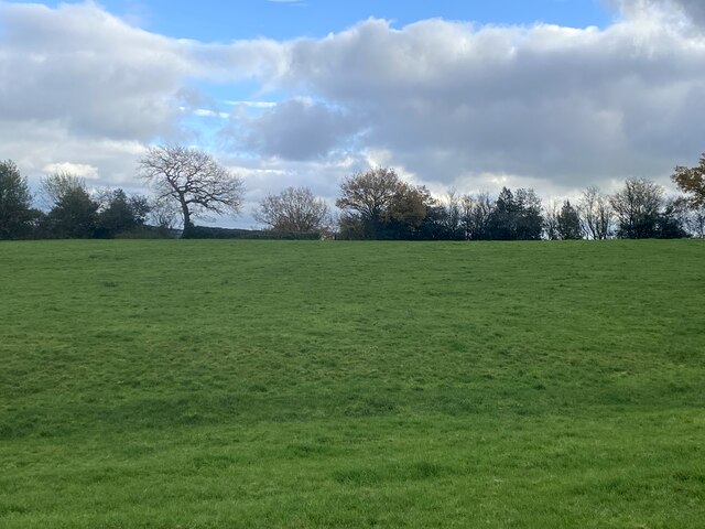
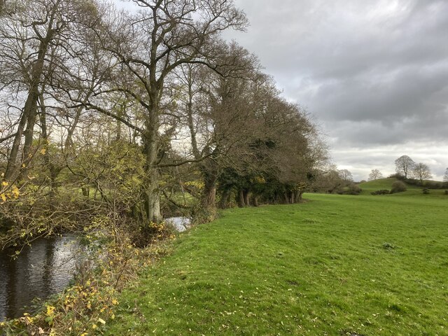
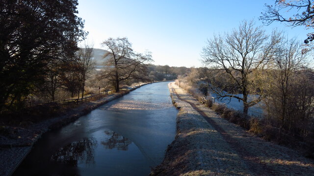
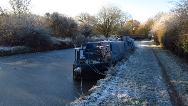
Cloud Wood Images
Images are sourced within 2km of 53.169825/-2.1344425 or Grid Reference SJ9163. Thanks to Geograph Open Source API. All images are credited.


Cloud Wood is located at Grid Ref: SJ9163 (Lat: 53.169825, Lng: -2.1344425)
Administrative County: Staffordshire
District: Staffordshire Moorlands
Police Authority: Staffordshire
What 3 Words
///beanbag.universally.somewhere. Near Eaton, Cheshire
Nearby Locations
Related Wikis

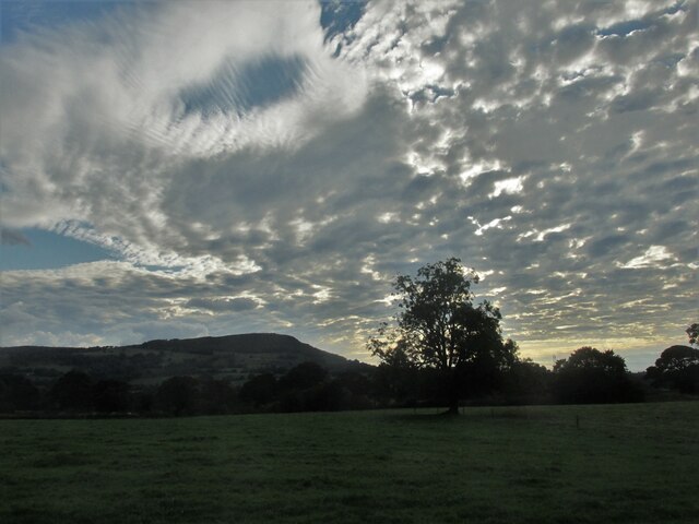
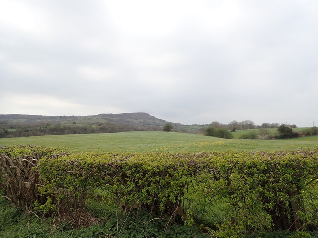
The Cloud (hill)
The Cloud or Bosley Cloud is a prominent hill on the border between Cheshire and Staffordshire a couple of miles west of the Peak District National Park...
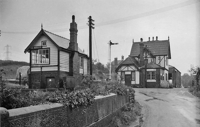
Bosley railway station
Bosley railway station served the village of Bosley, Cheshire. The station was opened by the North Staffordshire Railway in September 1849 as part of the...

The Bridestones
The Bridestones is a chambered cairn, near Congleton, Cheshire, England, that was constructed in the Neolithic period about 3500–2400 BC. It was described...

Gritstone Trail
The Gritstone Trail, or Cheshire Gritstone Trail, is a 35-mile (56 km) long-distance footpath in England which follows the most westerly hills of the Peak...

Timbersbrook
Timbersbrook is a small village in the town parish of Congleton, Cheshire, England. == References ==

Bosley
Bosley is a village and civil parish in Cheshire, England. At the 2001 census, it had a population of 406. The village is on the A523 road near to where...
Church of St Mary the Virgin, Bosley
The Church of St Mary the Virgin is in Leek Road, Bosley, Cheshire, England. It is recorded in the National Heritage List for England as a designated Grade...

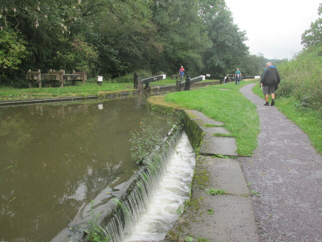
Bosley Lock Flight
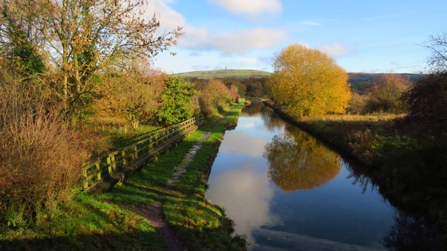
Bosley Lock Flight (grid reference SJ904662) is a flight of twelve canal locks, situated on the Macclesfield Canal at Bosley, near Macclesfield, Cheshire...
Nearby Amenities
Located within 500m of 53.169825,-2.1344425Have you been to Cloud Wood?
Leave your review of Cloud Wood below (or comments, questions and feedback).