Ardnagrask
Settlement in Ross-shire
Scotland
Ardnagrask

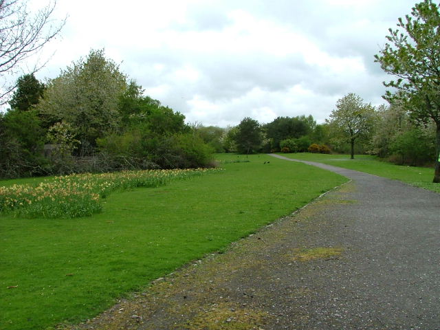
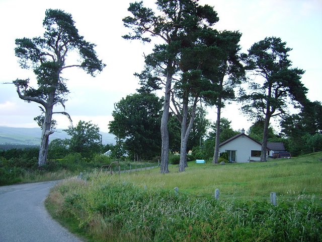
Ardnagrask is a small village located in Ross-shire, a historic county in the Highland region of Scotland. Situated on the eastern coast of the country, Ardnagrask is nestled between the larger towns of Invergordon and Tain. It is known for its stunning natural beauty, with rolling green hills, picturesque coastal views, and the nearby Dornoch Firth.
The village itself is home to a close-knit community, consisting of approximately 200 residents. It features a few local amenities, including a small grocery store, a post office, and a village hall that serves as a gathering place for various community events and activities. The village also boasts a primary school, ensuring that families have access to education for their children within the immediate area.
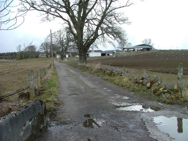
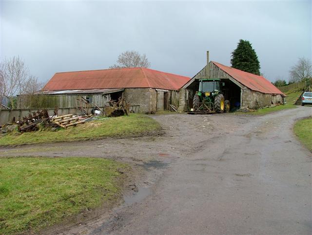
Ardnagrask is a haven for outdoor enthusiasts, offering plenty of opportunities for hiking, cycling, and wildlife spotting. The surrounding countryside is dotted with charming farms and fields, creating a peaceful and idyllic atmosphere. Additionally, the nearby coast provides opportunities for fishing and sailing, with several marinas and boat launches in the vicinity.
For those seeking cultural experiences, Ardnagrask is a short distance away from the town of Tain, which offers a wider range of amenities, including shops, restaurants, and historical landmarks such as the Tain Through Time museum. The area is also renowned for its golf courses, with the famous Royal Dornoch Golf Club just a few miles away, attracting golf enthusiasts from around the world.
Overall, Ardnagrask is a serene and welcoming village, offering a tranquil lifestyle amidst beautiful natural surroundings.
If you have any feedback on the listing, please let us know in the comments section below.
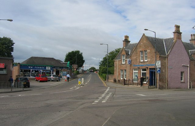
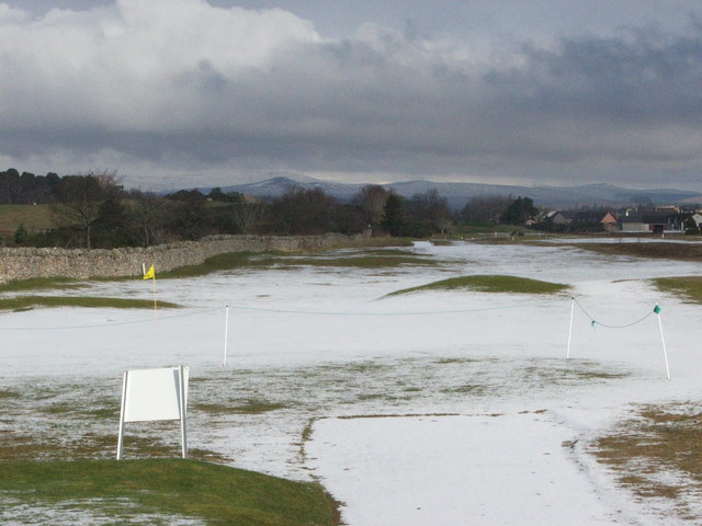
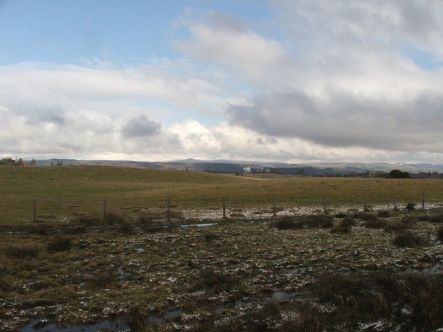
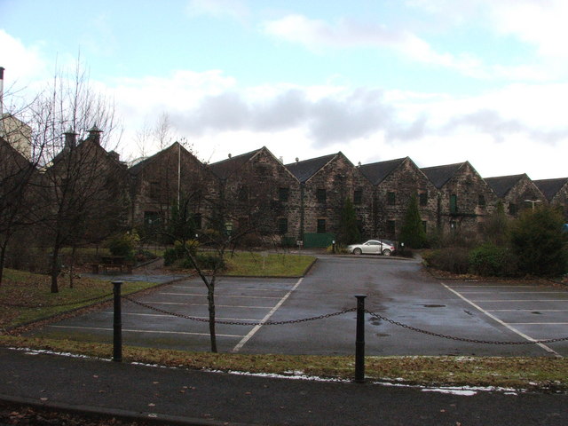
Ardnagrask Images
Images are sourced within 2km of 57.511517/-4.476917 or Grid Reference NH5149. Thanks to Geograph Open Source API. All images are credited.


Ardnagrask is located at Grid Ref: NH5149 (Lat: 57.511517, Lng: -4.476917)
Unitary Authority: Highland
Police Authority: Highlands and Islands
What 3 Words
///frail.flexibly.hampers. Near Muir of Ord, Highland
Nearby Locations
Related Wikis

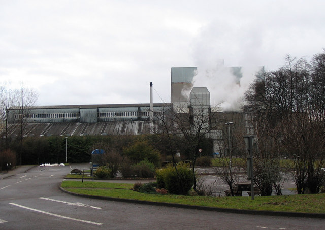
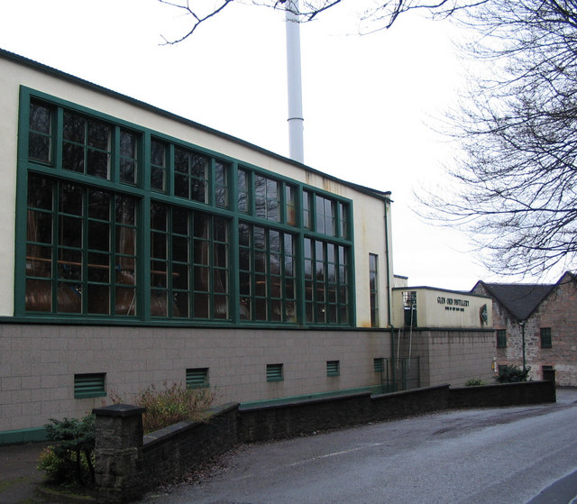
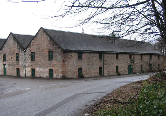
Glen Ord Distillery
Glen Ord distillery is a whisky distillery in the Scottish Highlands and is the only remaining single malt scotch whisky distillery on the Black Isle.Glen...

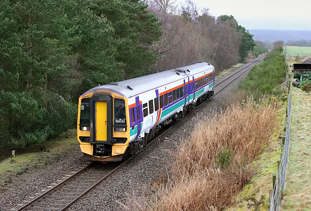
Muir of Ord railway station
Muir of Ord railway station is a railway station on the Kyle of Lochalsh Line and the Far North Line, serving the village of Muir of Ord in the Highland...

Muir of Ord
Muir of Ord (Scottish Gaelic: Am Blàr Dubh) is a village in Easter Ross, in the Highland council area of Scotland. It is situated near the western end...

Ardnagrask
Ardnagrask (Scottish Gaelic: Àird nan Crasg) is a rural area near to Muir of Ord in Highland, Scotland. == References ==
Windhill
Windhill (Scottish Gaelic: Cnoc na Gaoithe) is a hamlet in Ross and Cromarty, in the Highland council area of Scotland, about halfway between the villages...

Beauly
Beauly ( BEW-lee; from French beau lieu 'beautiful place'; Scottish Gaelic: A' Mhanachainn) is a village in the Highland area, on the River Beauly, 12...

Muir of Tarradale
Muir of Tarradale is a scattered crofting township, lying 1.5 miles east of Muir of Ord on the western side of the Black Isle, in Ross-shire, Scottish...
Bishop Kinkell
Bishop Kinkell is a small scattered crofting hamlet 1.5 miles south of Conon Bridge in Inverness-shire, Scottish Highlands and is in the Scottish council...
Nearby Amenities
Located within 500m of 57.511517,-4.476917Have you been to Ardnagrask?
Leave your review of Ardnagrask below (or comments, questions and feedback).