Hawcombe Copse
Wood, Forest in Wiltshire
England
Hawcombe Copse
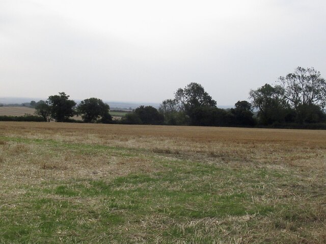
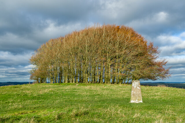
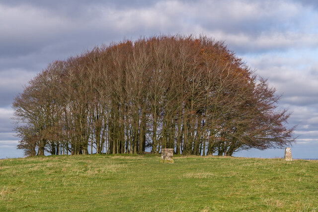
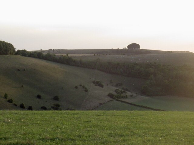
Hawcombe Copse is a picturesque woodland located in Wiltshire, England. Covering an area of approximately 100 hectares, it is a notable natural attraction in the region. The copse is situated near the village of Hawcombe, providing a tranquil escape from the bustling city life.
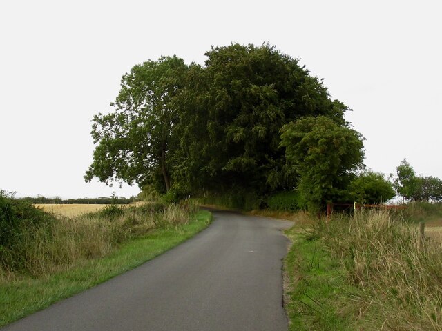
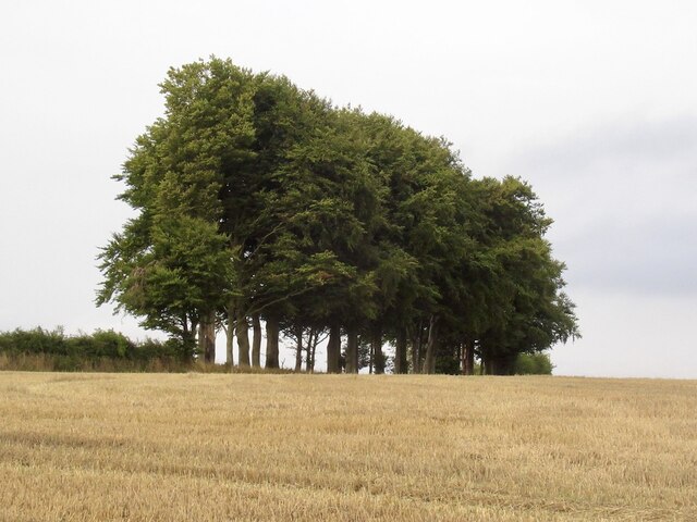
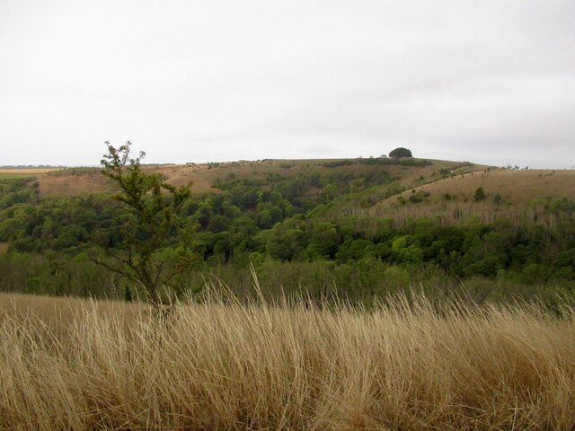
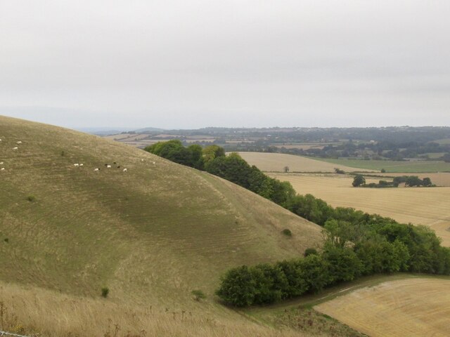
The woodland is predominantly composed of native deciduous trees, including oak, beech, and ash. These trees create a dense canopy that offers shade and shelter to a diverse range of flora and fauna. Bluebells carpet the forest floor in spring, creating a stunning display of vibrant colors.
Hawcombe Copse is a haven for wildlife enthusiasts, as it supports a rich biodiversity. The wood is home to various bird species, such as woodpeckers, tawny owls, and nuthatches. Mammals like deer, foxes, and badgers can also be spotted in the area.
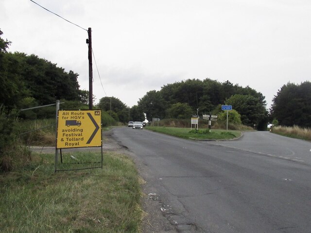
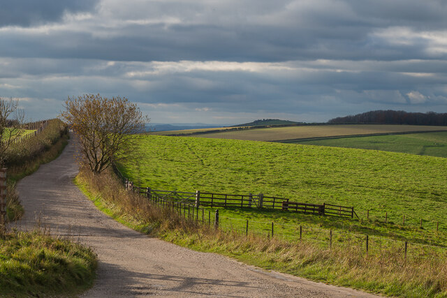
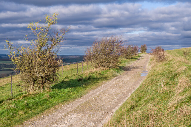
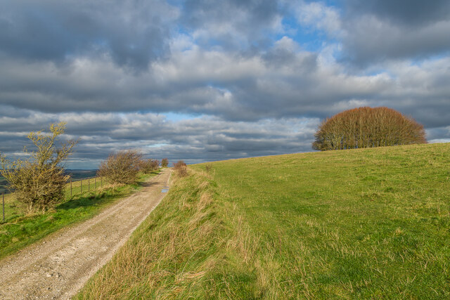
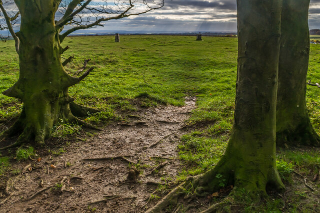
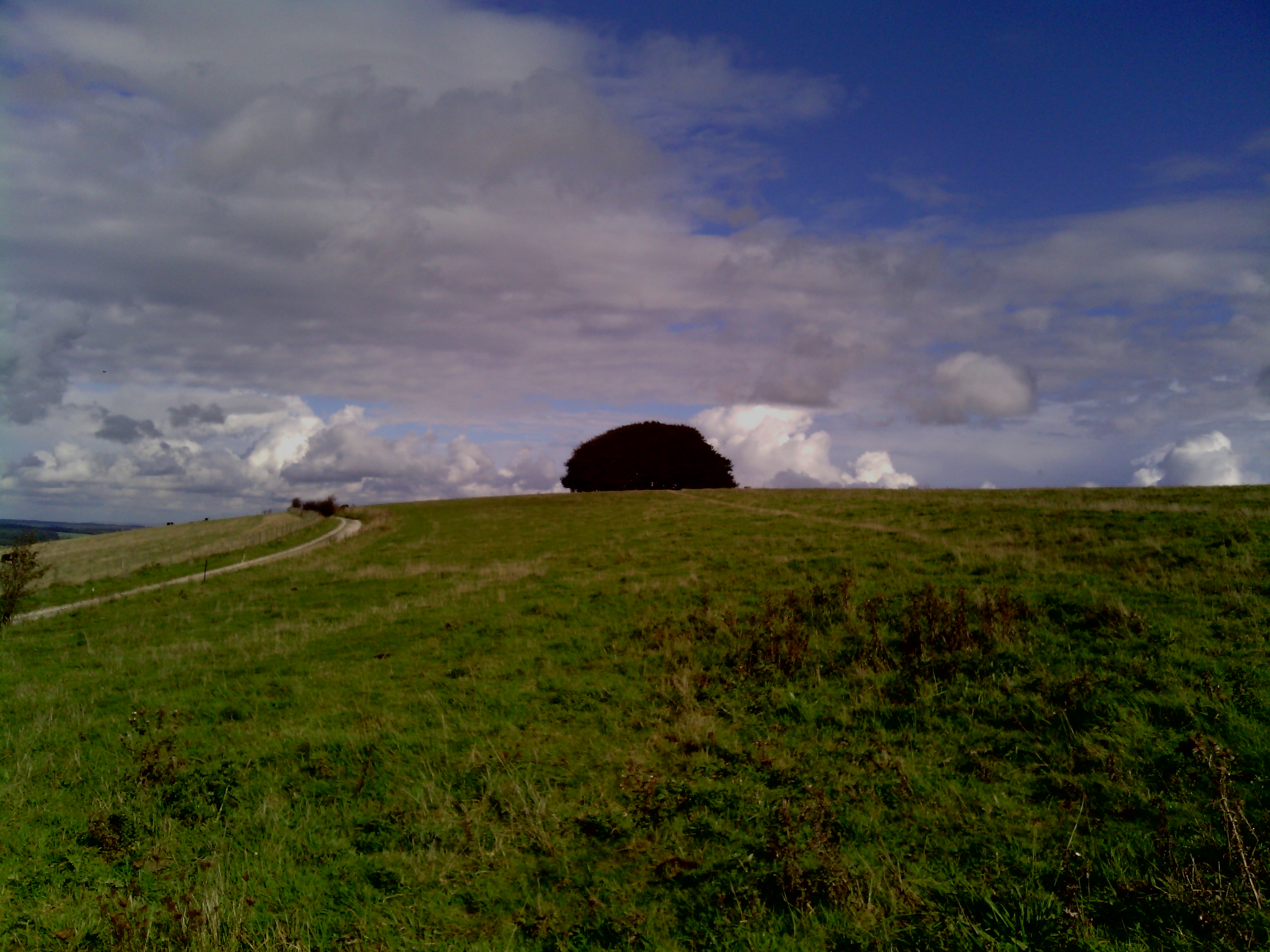
The copse features several well-maintained walking trails, allowing visitors to explore its beauty at their own pace. These paths wind through the woodland, offering stunning views of the surrounding countryside. The peaceful atmosphere and the sound of birdsong create a serene environment, perfect for relaxation and rejuvenation.
In addition to its natural beauty, Hawcombe Copse also has historical significance. It is believed to have been part of an ancient forest that covered much of the region centuries ago, and remnants of prehistoric settlements have been discovered in the area.
Overall, Hawcombe Copse is a captivating woodland that offers a unique blend of natural beauty and historical significance. Whether it's a leisurely walk or an opportunity to connect with nature, this Wiltshire gem has something to offer for everyone.
If you have any feedback on the listing, please let us know in the comments section below.
Hawcombe Copse Images
Images are sourced within 2km of 50.982942/-2.1301533 or Grid Reference ST9020. Thanks to Geograph Open Source API. All images are credited.


Hawcombe Copse is located at Grid Ref: ST9020 (Lat: 50.982942, Lng: -2.1301533)
Unitary Authority: Wiltshire
Police Authority: Wiltshire
What 3 Words
///asserts.unlocking.month. Near Shaftesbury, Dorset
Nearby Locations
Related Wikis

Breeze Hill
Breeze Hill is a prominent, largely treeless, rounded summit, 262 metres high, on the edge of Cranborne Chase about a mile east of the village of Melbury...
Win Green Down
Win Green Down at grid reference ST927209 in south-western Wiltshire, England is a 26.0 hectares (64 acres) biological Site of Special Scientific Interest...

Melbury Down
Melbury Down is an area of downland in northern Dorset, England. It is owned by the National Trust. The chalk grassland here supports large butterfly populations...

Ludwell, Wiltshire
Ludwell is a small village in south Wiltshire, England, approximately 3 miles (5 km) east of the Dorset town of Shaftesbury. It lies within the Cranborne...

Compton Abbas Airfield
Compton Abbas Airfield (IATA: n/a, ICAO: EGHA) is a grass airstrip 2.7 NM (5.0 km; 3.1 mi) south of Shaftesbury, Dorset, England. Compton Abbas Aerodrome...

Ashcombe House, Wiltshire
Ashcombe House, also known as Ashcombe Park, is a Georgian manor house, set in 1,134 acres (4.59 km2) of land on Cranborne Chase in the parish of Berwick...

Ashmore
Ashmore is a village and civil parish in the North Dorset district of Dorset, England, 20 miles (32 kilometres) southwest of Salisbury. The village is...

Melbury Abbas
Melbury Abbas is a village and civil parish in north Dorset, England, 3 km SSW of the town of Shaftesbury, east of the A350 Shaftesbury to Blandford Forum...
Have you been to Hawcombe Copse?
Leave your review of Hawcombe Copse below (or comments, questions and feedback).