Great Blaythorn Wood

Wood, Forest in Worcestershire Wychavon

England

Great Blaythorn Wood

Through the railway bridge arch In the far distance, the tower of Stoulton church is visible.
Through the railway bridge arch Credit: Liz Stone

Great Blaythorn Wood is a picturesque woodland located in Worcestershire, England. Covering an area of approximately 200 acres, this ancient forest is known for its rich biodiversity and stunning natural beauty. The wood is situated near the village of Blaythorn and is easily accessible to visitors.

The wood is predominantly made up of oak and beech trees, which create a dense and enchanting canopy. The towering trees provide a habitat for a wide variety of wildlife, including deer, foxes, badgers, and a plethora of bird species. The forest floor is covered in a lush carpet of wildflowers, ferns, and moss, adding to the woodland's charm.

A network of well-maintained footpaths wind through Great Blaythorn Wood, allowing visitors to explore its hidden corners and discover its hidden treasures. These paths offer a peaceful and serene atmosphere, making it an ideal location for nature walks, photography, and birdwatching.

The wood is also notable for its historical significance. It is believed to have been in existence for centuries, with some of the trees dating back hundreds of years. The ancient woodland has been carefully managed to preserve its natural beauty and protect its delicate ecosystem.

Great Blaythorn Wood is a popular destination for nature enthusiasts, hikers, and families seeking a peaceful retreat in the heart of Worcestershire. Its tranquil setting, diverse flora and fauna, and rich history make it a truly remarkable place to visit and appreciate the wonders of nature.

If you have any feedback on the listing, please let us know in the comments section below.

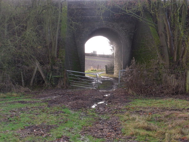
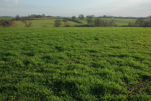
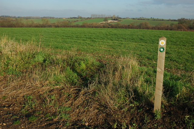
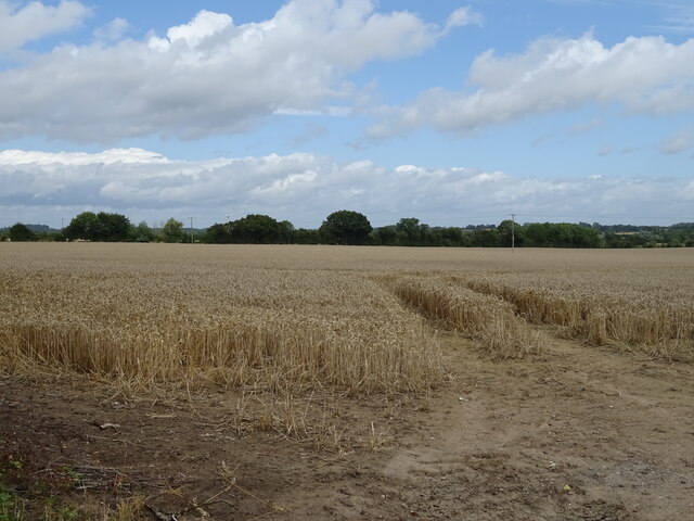
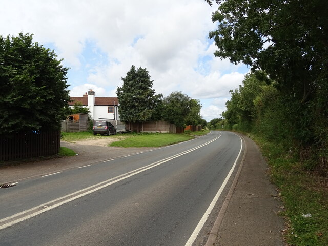
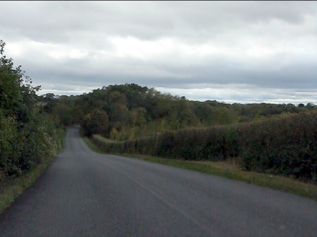
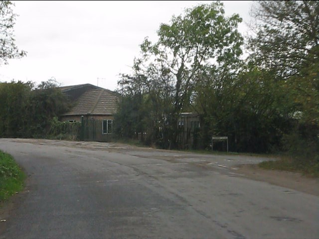
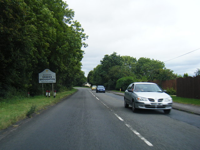
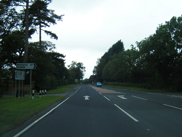
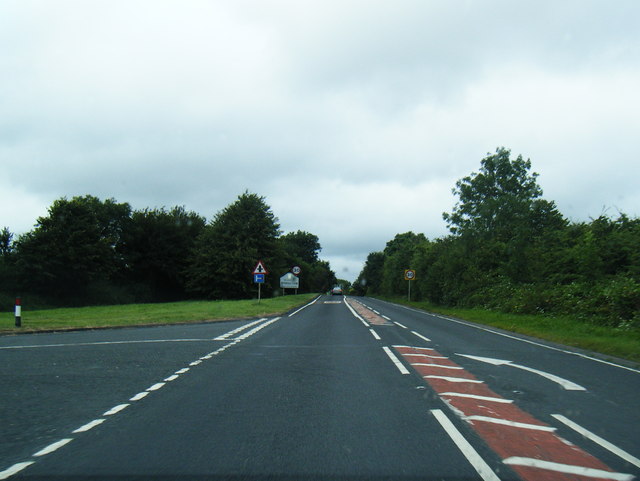
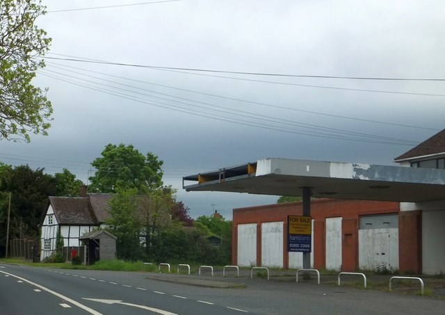
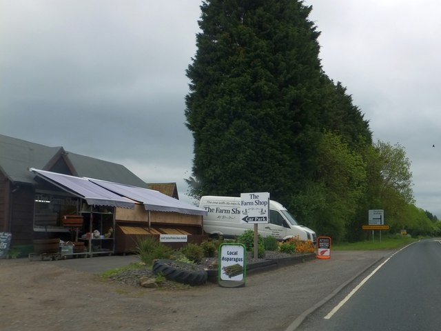
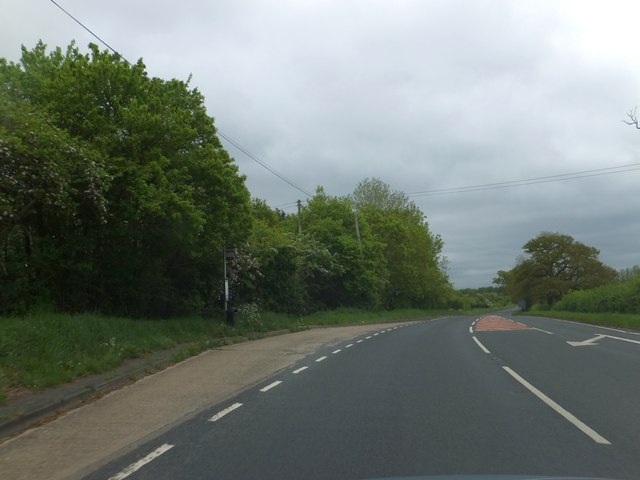
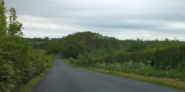
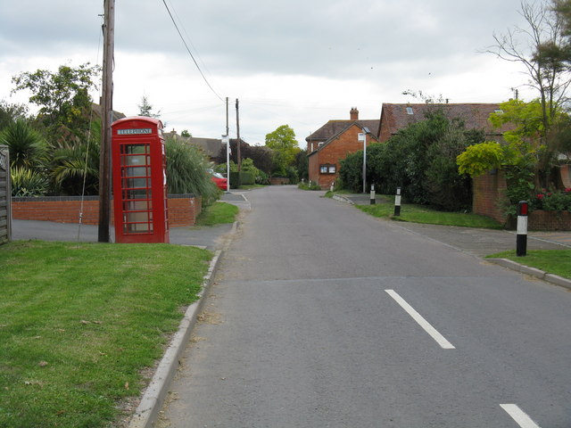
Great Blaythorn Wood Images

Images are sourced within 2km of 52.132206/-2.1344466 or Grid Reference SO9048. Thanks to Geograph Open Source API. All images are credited.

Through the railway bridge arch In the far distance, the tower of Stoulton church is visible.
Through the railway bridge arch
In the far distance, the tower of Stoulton church is visible.
Farmland at Stoulton View across farmland between Stoulton and the railway line.
Farmland at Stoulton
View across farmland between Stoulton and the railway line.
Footpath sign at Stoulton
Cereal crop, Stoulton Off the B4084.
Cereal crop, Stoulton
Off the B4084.
B4084, Stoulton Towards Worcester.
B4084, Stoulton
Towards Worcester.
View from the summit west of Ramsden
Crabbe Lane junction
B4084 at Drakes Broughton boundary
B4084 south of Windmill Hill
B4084 approaching Stoulton village boundary
Bus shelter by former garage in Stoulton
Farm shop on B4084 at Windmill Hill
Bus stop on B4084 at Windmill Hill The road is marked for the turning to the village of Windmill Hill, a short distance north of the main road to Pershore.  This stop serves the village.
Bus stop on B4084 at Windmill Hill
The road is marked for the turning to the village of Windmill Hill, a short distance north of the main road to Pershore. This stop serves the village.
Garage on B4084 at Drake's Broughton
Woodland west of Ramsden This minor road is named Rebecca Road
Woodland west of Ramsden
This minor road is named Rebecca Road
Woodland at the junction of Rebecca Road and Crabbe Lane One of the local buildings is The Crabbe - hence the name of the lane on the right.  The footpath on the left is part of the Millennium Way
Woodland at the junction of Rebecca Road and Crabbe Lane
One of the local buildings is The Crabbe - hence the name of the lane on the right. The footpath on the left is part of the Millennium Way
Oak by Chevington Lane After five years have elapsed after the previous photograph for this square, I come along and take almost exactly the same shot as Phil Halling - <a href="https://www.geograph.org.uk/photo/924781">SO9147 : Chevington Lane</a>.
Oak by Chevington Lane
After five years have elapsed after the previous photograph for this square, I come along and take almost exactly the same shot as Phil Halling - SO9147 : Chevington Lane.
Old stubble field View north from Chevington Lane; the cottages are at the entrance to Caddicroft Farm which itself is hidden in the trees in the distance.
Old stubble field
View north from Chevington Lane; the cottages are at the entrance to Caddicroft Farm which itself is hidden in the trees in the distance.
Show me another place!

Great Blaythorn Wood is located at Grid Ref: SO9048 (Lat: 52.132206, Lng: -2.1344466)

Administrative County: Worcestershire

District: Wychavon

Police Authority: West Mercia

What 3 Words

///agreeable.honest.incurs. Near Pershore, Worcestershire

Nearby Locations

Great Blaythorn Wood

Related Wikis

Wadborough

Wadborough is a small village 2 miles outside Pershore and 7 miles from Worcester. The village is in Worcestershire, England. The village is an old farming...

Hawbridge

Hawbridge is a village in Worcestershire, England. == References ==

Wadborough railway station

Wadborough railway station was located in Wadborough, Worcestershire. It opened in 1841 and closed in January 1965. It was situated to the west on the...

Stoulton

Stoulton or Stoughton is a village and civil parish about 5 miles south west of Worcester, in the Wychavon district, in the county of Worcestershire, England...

Nearby Amenities

Located within 500m of 52.132206,-2.1344466
Barrier: stile
Foot: yes
Lat/Long: 52.1323348/-2.1365559
Barrier: stile
Foot: yes
Lat/Long: 52.1296535/-2.1354824
Barrier: stile
Foot: yes
Lat/Long: 52.1334854/-2.1364103
Barrier: stile
Foot: yes
Lat/Long: 52.1359806/-2.1372204
Power: pole
Lat/Long: 52.1302504/-2.1279203
Power: pole
Lat/Long: 52.1306216/-2.1281317
Caldewell Mill
Power: pole
Transformer: distribution
Voltage Primary: 11000
Lat/Long: 52.13133/-2.1272962
Power: pole
Lat/Long: 52.1310702/-2.1279748
Power: pole
Lat/Long: 52.130822/-2.1286185
Power: pole
Lat/Long: 52.1313938/-2.1299985
Caldewell House
Power: pole
Transformer: distribution
Voltage Primary: 11000
Lat/Long: 52.1343186/-2.1289457
Power: pole
Lat/Long: 52.1334321/-2.1293642
Power: pole
Lat/Long: 52.1327064/-2.1299563
Power: pole
Lat/Long: 52.1319713/-2.1305712
Power: pole
Lat/Long: 52.1312497/-2.1311579
Blaythorn Farm
Power: pole
Transformer: distribution
Voltage Primary: 11000
Lat/Long: 52.1311229/-2.1322938
Power: pole
Lat/Long: 52.1305121/-2.1336074
Power: pole
Lat/Long: 52.1299226/-2.1349438
Power: pole
Lat/Long: 52.1294974/-2.1360549
Power: pole
Lat/Long: 52.1287256/-2.1370138
Blaythorn Wood
Power: pole
Transformer: distribution
Voltage Primary: 11000
Lat/Long: 52.1281731/-2.1367195
Power: pole
Lat/Long: 52.129096/-2.1371493
Power: pole
Lat/Long: 52.1286935/-2.1382396
The data included in this document is from www.openstreetmap.org. The data is made available under ODbL.

Have you been to Great Blaythorn Wood?

Leave your review of Great Blaythorn Wood below (or comments, questions and feedback).