Thornhill's Coppice
Wood, Forest in Dorset
England
Thornhill's Coppice
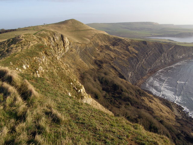
Thornhill's Coppice is a charming wood located in the county of Dorset, England. Situated near the town of Wimborne Minster, it covers an area of approximately 20 acres, making it a relatively small forest. Despite its size, Thornhill's Coppice offers a rich and diverse natural environment.
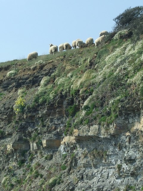
The wood is predominantly made up of broadleaf trees, such as oaks, beeches, and birches. These towering giants provide a dense canopy, creating a shaded and cool atmosphere within the forest. The forest floor is covered with a thick layer of fallen leaves, forming a soft and cushioned pathway for visitors to explore.
Thornhill's Coppice is known for its abundant wildlife. Various species of birds, including woodpeckers and owls, can be heard singing their melodious tunes throughout the day. Small mammals, such as squirrels and rabbits, can also be spotted scurrying amongst the undergrowth.
The wood is intersected by a network of footpaths, allowing visitors to navigate through its enchanting beauty. These well-maintained trails wind their way through the trees, offering glimpses of the vibrant flora and fauna that call Thornhill's Coppice their home.
The wood is a popular destination for nature enthusiasts, hikers, and picnickers. Its tranquil ambiance and picturesque surroundings make it an ideal spot for relaxation and escapism. Visitors can enjoy a peaceful stroll, have a family picnic, or simply sit and absorb the natural wonders that Thornhill's Coppice has to offer.
In conclusion, Thornhill's Coppice is a charming and diverse wood in Dorset, providing a serene and enchanting escape for nature lovers and those seeking a peaceful retreat amidst the beauty of the forest.
If you have any feedback on the listing, please let us know in the comments section below.
Thornhill's Coppice Images
Images are sourced within 2km of 50.62477/-2.1370627 or Grid Reference SY9080. Thanks to Geograph Open Source API. All images are credited.


Thornhill's Coppice is located at Grid Ref: SY9080 (Lat: 50.62477, Lng: -2.1370627)
Unitary Authority: Dorset
Police Authority: Dorset
What 3 Words
///dozens.penned.metals. Near Corfe Castle, Dorset
Nearby Locations
Related Wikis

Steeple, Dorset
Steeple is a hamlet and former civil parish, now in the civil parish of Steeple with Tyneham, in the Purbeck district of the English county of Dorset....
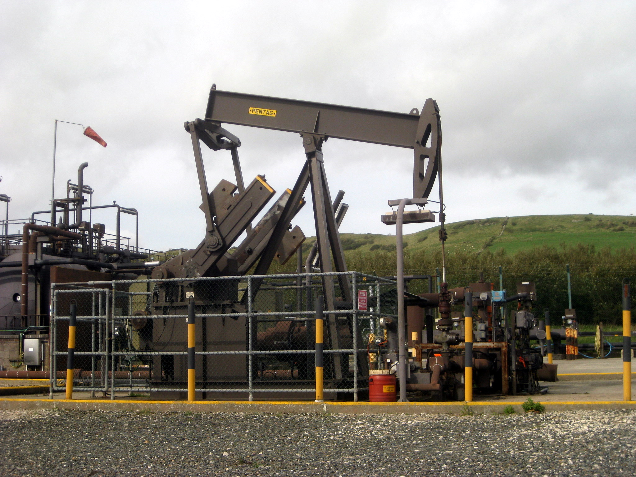
Kimmeridge Oil Field
The Kimmeridge Oil Field is an oil drilling site, northwest of Kimmeridge Bay, on the south coast of the Isle of Purbeck, in Dorset, England.. == Location... ==

St Nicholas's Church, Kimmeridge
St Nicholas's Church is a parish church in Kimmeridge, Dorset. It is dedicated to St Nicholas of Myra. The church is in the Archdeaconry of Dorset, in...

The Etches Collection
The Etches Collection (also known as the Museum of Jurassic Marine Life) is an independent fossil museum located in the village of Kimmeridge, Dorset,...

Kimmeridge
Kimmeridge ( ) is a small village and civil parish on the Isle of Purbeck, a peninsula on the English Channel coast in Dorset, England. It is situated...

Kimmeridge Bay
Kimmeridge Bay ( ) is a bay on the Isle of Purbeck, a peninsula on the English Channel coast in Dorset, England, close to and southeast of the village...
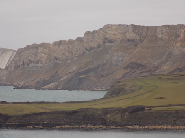
Tyneham Cap
Tyneham Cap is a prominent, grassy knoll, 167 metres (548 ft) high, on the South West Coast Path in Dorset, England. It rises above Brandy Bay and has...

Grange Arch
Grange Arch, also known as Creech Folly, is an 18th-century folly that is located near the second highest point of the Purbeck Hills, Ridgeway Hill (199...
Nearby Amenities
Located within 500m of 50.62477,-2.1370627Have you been to Thornhill's Coppice?
Leave your review of Thornhill's Coppice below (or comments, questions and feedback).