Hanlith Wood
Wood, Forest in Yorkshire Craven
England
Hanlith Wood
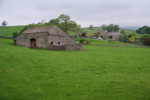
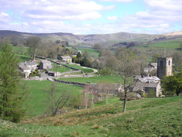
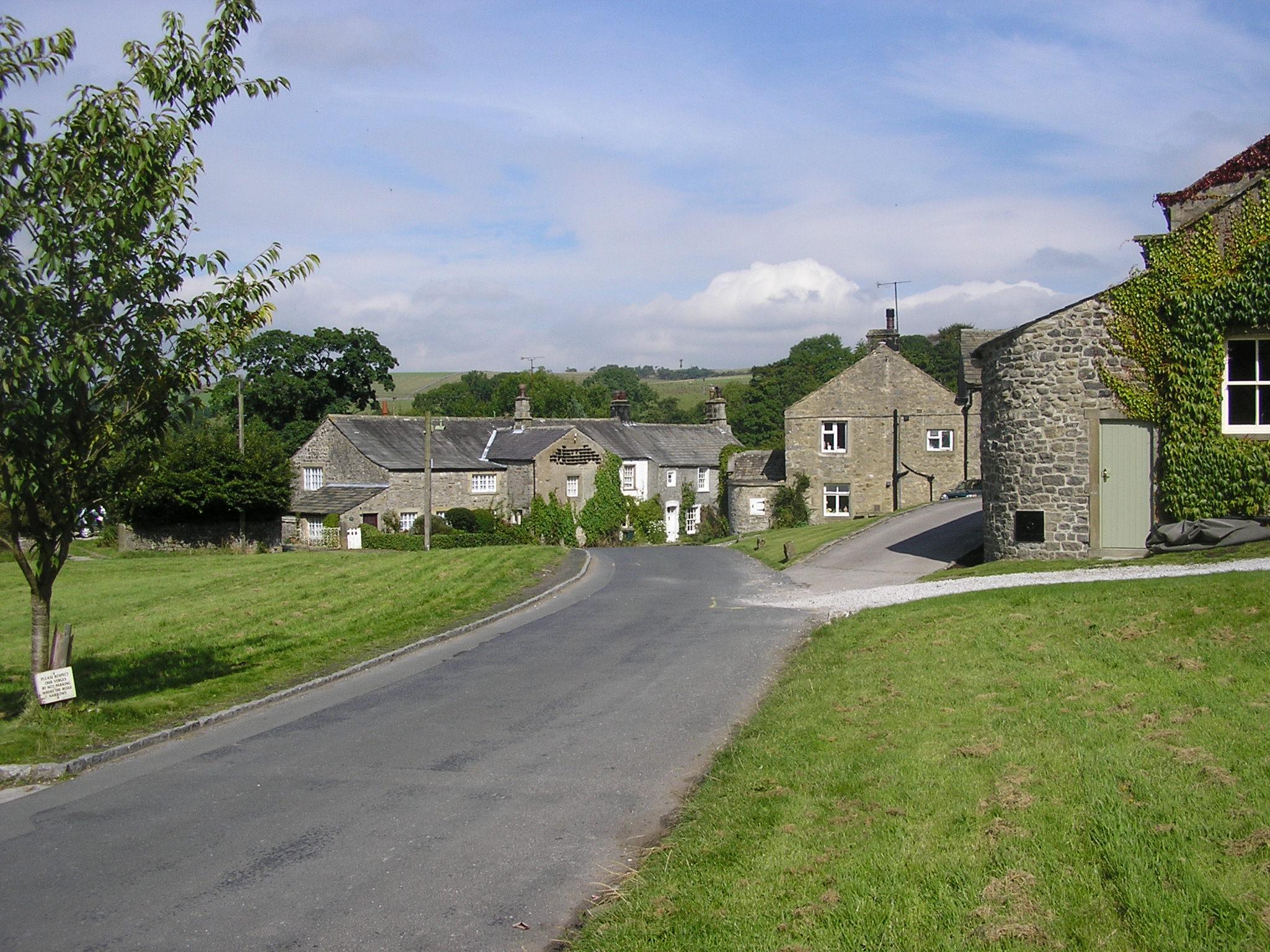
Hanlith Wood is a picturesque woodland located in Yorkshire, England. Covering an area of approximately 100 acres, it is a popular destination for nature lovers and outdoor enthusiasts. The wood is situated near the village of Hanlith, nestled in the heart of the Yorkshire Dales National Park.
Hanlith Wood is characterized by its diverse range of flora and fauna, making it a haven for wildlife. The wood is predominantly made up of deciduous trees, including oak, ash, and beech, which create a beautiful canopy and provide a habitat for numerous bird species. Visitors can often spot woodpeckers, owls, and various songbirds while exploring the trails.
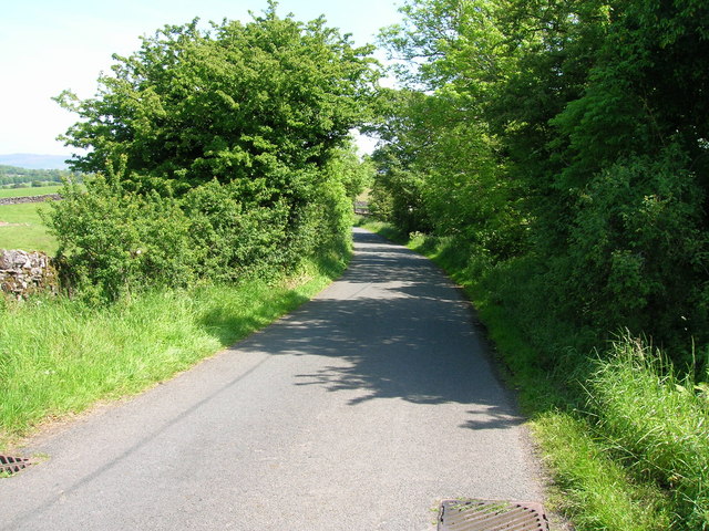
The woodland is crisscrossed by a network of well-maintained footpaths, allowing visitors to easily explore its natural beauty. The trails wind through the wood, offering opportunities for leisurely walks, jogging, or even horseback riding. Along the way, visitors can admire the carpet of bluebells that bloom in spring, creating a stunning display of color.
Hanlith Wood is also home to a variety of wildlife, including deer, foxes, and rabbits. These animals can often be spotted roaming freely within the woodland, adding to its charm and appeal. The wood is managed by local conservation groups, ensuring the preservation of its natural heritage.
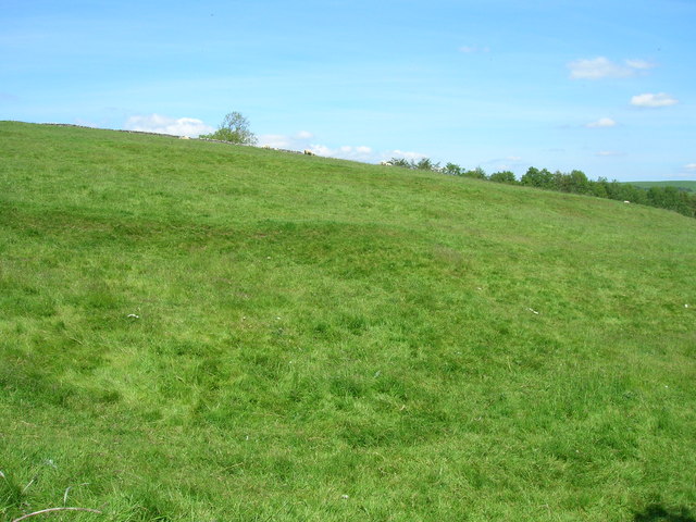
In addition to its natural beauty, Hanlith Wood offers breathtaking views of the surrounding countryside. From certain vantage points within the wood, visitors can enjoy panoramic vistas of the rolling hills and valleys of Yorkshire.
Overall, Hanlith Wood is a tranquil and enchanting destination, offering visitors the opportunity to immerse themselves in the beauty of nature and escape the hustle and bustle of everyday life.
If you have any feedback on the listing, please let us know in the comments section below.
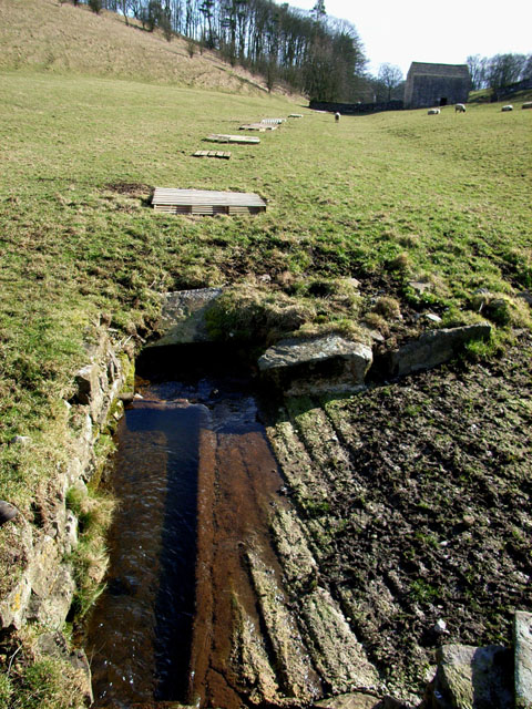
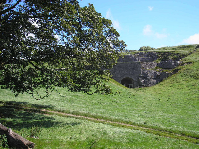
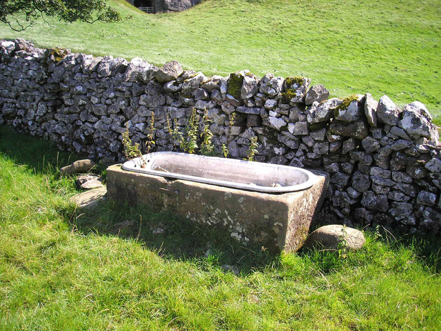
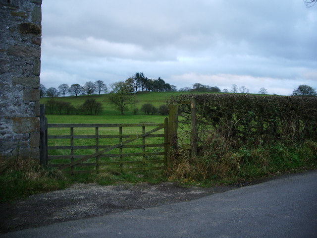
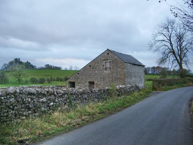
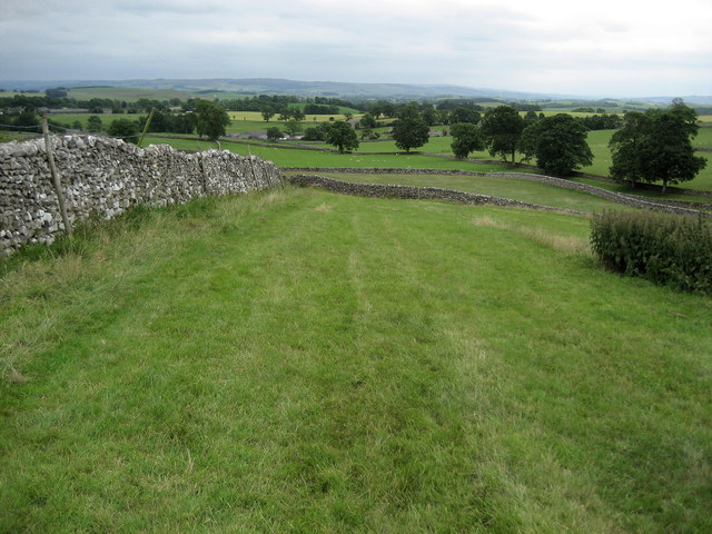
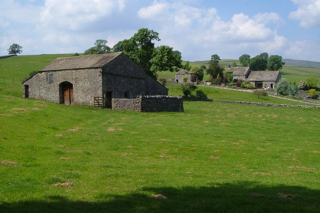
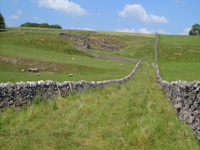
Hanlith Wood Images
Images are sourced within 2km of 54.041938/-2.1493561 or Grid Reference SD9060. Thanks to Geograph Open Source API. All images are credited.


Hanlith Wood is located at Grid Ref: SD9060 (Lat: 54.041938, Lng: -2.1493561)
Division: West Riding
Administrative County: North Yorkshire
District: Craven
Police Authority: North Yorkshire
What 3 Words
///canine.hospitals.learn. Near Hellifield, North Yorkshire
Nearby Locations
Related Wikis
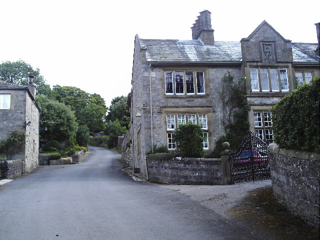
Hanlith
Hanlith is a small village and civil parish in the Craven district of North Yorkshire, England. It is situated near Kirkby Malham and the tourist attraction...
Kirkby Malham
Kirkby Malham is a small village and civil parish in the Craven district of North Yorkshire, England. Situated in the Yorkshire Dales it lies 5 miles...

St Michael's Church, Kirkby Malham
St Michael's Church is in the village of Kirkby Malham, North Yorkshire, England. It is an active Anglican parish church in the deanery of Bowland and...

Scosthrop
Scosthrop is a civil parish in the Craven district of North Yorkshire, England. The population as taken at the 2011 Census was less than 100. Details are...
Airton
Airton (also known as Airton-in-Craven) is a small village and civil parish in the Craven district of North Yorkshire, England, situated 10 miles (16 km...

Calton, North Yorkshire
Calton is a village and civil parish in the Craven district of North Yorkshire, England, on the River Aire in Airedale. In both the 2001 and 2011 Censuses...

Malham
Malham is a village and civil parish in the Craven district of North Yorkshire, England. Before 20th century boundary changes, the village was part of...

Friar Garth Farmhouse
Friar Garth Farmhouse is a Grade II listed building in Malham, North Yorkshire, England. It was listed as an historic site by English Heritage on 13 September...
Nearby Amenities
Located within 500m of 54.041938,-2.1493561Have you been to Hanlith Wood?
Leave your review of Hanlith Wood below (or comments, questions and feedback).