Crowborough Wood
Wood, Forest in Staffordshire Staffordshire Moorlands
England
Crowborough Wood
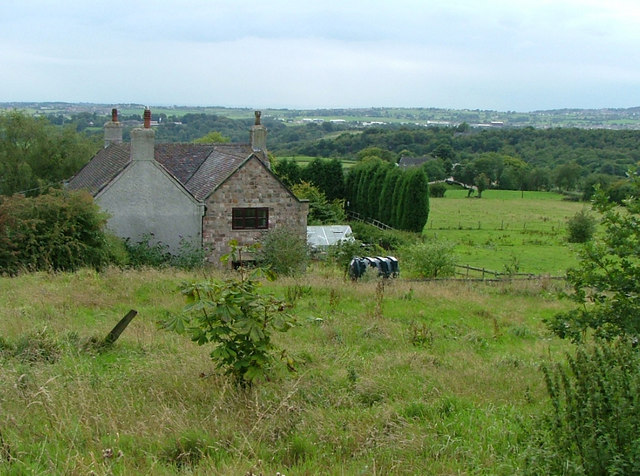
Crowborough Wood is a picturesque woodland located in Staffordshire, England. Covering an area of approximately 100 acres, it is a haven of natural beauty and tranquility. The woodland is situated in close proximity to the village of Crowborough, hence the name.
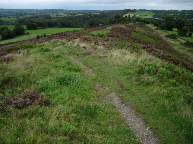
The wood is predominantly composed of deciduous trees, including oak, beech, and birch, which create a vibrant tapestry of colors during the autumn months. The dense canopy provides shade during the summer, making it a popular spot for picnics and leisurely strolls.
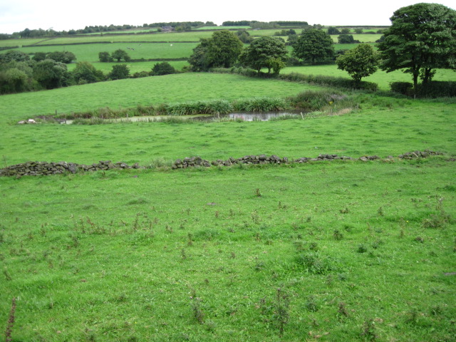
Crowborough Wood is home to a diverse range of wildlife, including various species of birds, mammals, and insects. Birdwatchers often visit the wood to catch a glimpse of rare species such as woodpeckers and owls. The woodland floor is also teeming with life, with numerous wildflowers, ferns, and fungi adding to its natural charm.
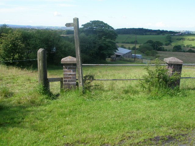
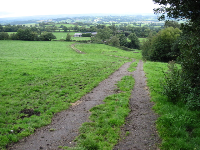
The wood is crisscrossed by a network of well-maintained footpaths, allowing visitors to explore its beauty at their leisure. These paths lead to secluded clearings, where one can relax and enjoy the peaceful ambiance. In addition, there are several benches strategically placed throughout the wood, providing the perfect spot for contemplation or simply taking in the scenery.
Crowborough Wood is managed by the local council, which ensures the preservation of its natural habitat. It is open to the public year-round and welcomes nature enthusiasts, families, and individuals seeking solace in nature. The wood is easily accessible by car, with ample parking available nearby, making it a popular destination for day trips and nature walks.
If you have any feedback on the listing, please let us know in the comments section below.
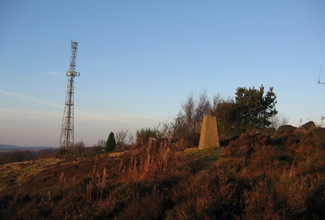
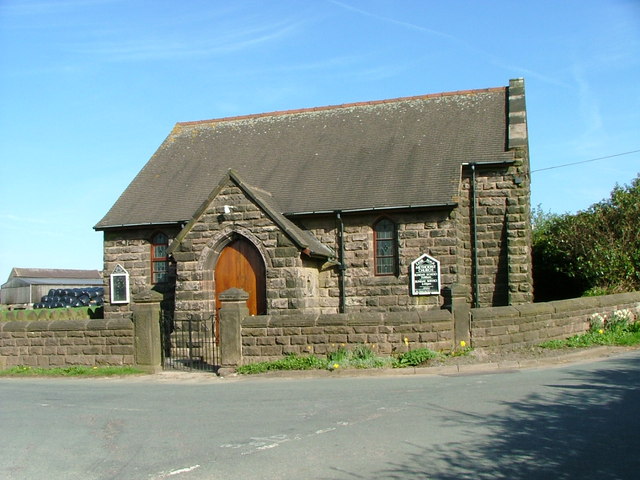
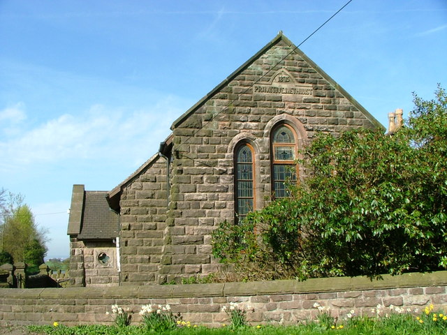
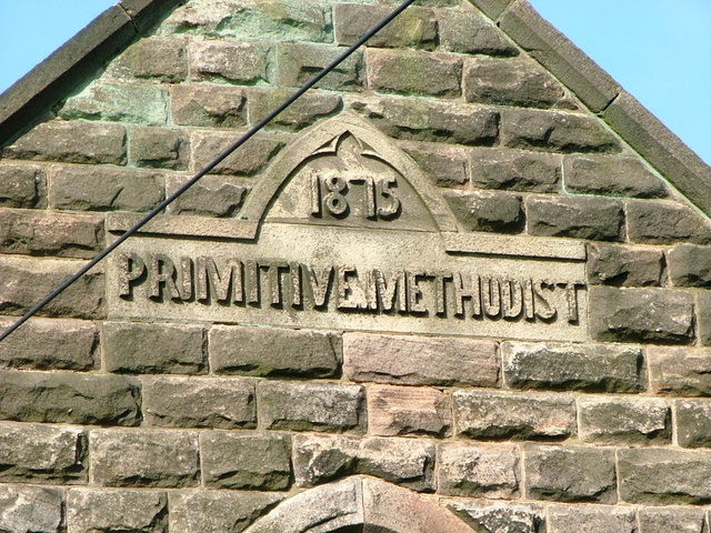
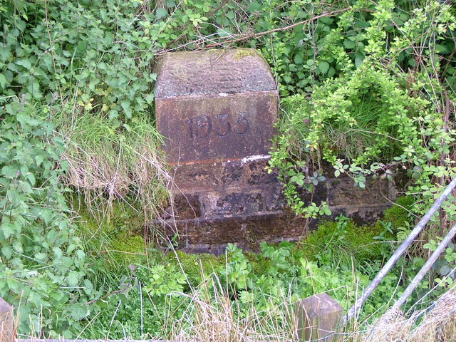
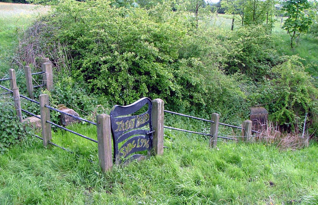
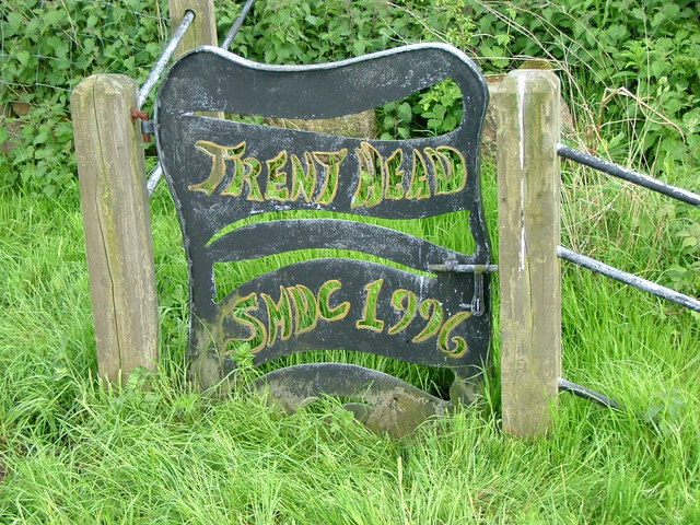
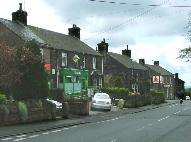
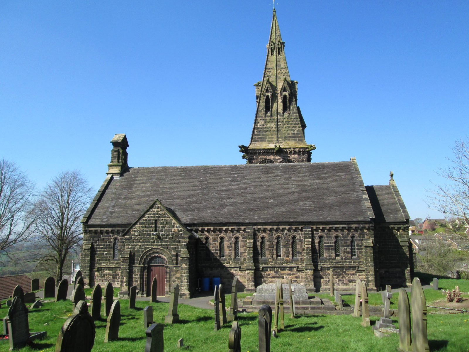
Crowborough Wood Images
Images are sourced within 2km of 53.102159/-2.1472251 or Grid Reference SJ9056. Thanks to Geograph Open Source API. All images are credited.


Crowborough Wood is located at Grid Ref: SJ9056 (Lat: 53.102159, Lng: -2.1472251)
Administrative County: Staffordshire
District: Staffordshire Moorlands
Police Authority: Staffordshire
What 3 Words
///highs.bend.doghouse. Near Biddulph, Staffordshire
Nearby Locations
Related Wikis

Knypersley Reservoir
Knypersley Reservoir near Biddulph, Staffordshire, England, was built in 1827 to supply water to the Caldon Canal, along with two others at Stanley Pool...

Biddulph High School
Biddulph High School is a mixed upper school (termed 'high school') and sixth form located in the Knypersley area of Biddulph in the English county of...
Knypersley Hall
Knypersley Hall is an 18th-century Georgian style country mansion at Biddulph, Staffordshire, England. It is protected as a Grade II* listed building....
Biddulph Moor
Biddulph Moor is a village located on the hill which bears the same name. It is in Biddulph parish and is a part of the Staffordshire Moorlands district...
Tunstall Road
Tunstall Road, also known as Victoria and Knypersley Social Welfare Centre, is a cricket ground in Knypersley, Staffordshire. The ground is located along...
St Anne's Church, Brown Edge
St Anne's Church is an Anglican church in Brown Edge, Staffordshire, England, and in the Diocese of Lichfield. The building is Grade II listed. == History... ==
Braddocks Hay
Braddocks Hay is a village in Staffordshire, England. Population details for the 2011 census can be found under Biddulph

Biddulph
Biddulph is a town in Staffordshire, England, 8.5 miles (14 km) north of Stoke-on-Trent and 4.5 miles (7 km) south-east of Congleton, Cheshire. == Origin... ==
Nearby Amenities
Located within 500m of 53.102159,-2.1472251Have you been to Crowborough Wood?
Leave your review of Crowborough Wood below (or comments, questions and feedback).