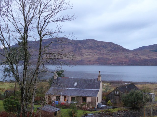
Ardnarff
Settlement in Ross-shire
Scotland
Ardnarff

Ardnarff is a small village located in the Ross-shire region of the Scottish Highlands. Nestled amidst breathtaking landscapes, Ardnarff is situated approximately 10 miles northwest of the town of Dingwall. The village is surrounded by rolling hills, lush green fields, and the tranquil waters of the River Conon.
Ardnarff is known for its picturesque beauty, making it a popular destination for nature lovers and outdoor enthusiasts. The area offers numerous opportunities for activities such as hiking, fishing, and bird watching, with nearby attractions including the Black Water Falls and the Strathpeffer Spa Pavilion.
The village itself is characterized by its quaint charm and traditional Scottish architecture. Stone cottages dot the landscape, while a small church stands proudly in the center of the village. The community is tight-knit, with a population of around 300 residents.
Although small in size, Ardnarff is well-served by local amenities. The village boasts a primary school, a village hall, and a few local shops and businesses. For further services, residents can easily access the nearby town of Dingwall, which offers a wider range of amenities including supermarkets, healthcare facilities, and secondary schools.
Overall, Ardnarff offers a peaceful and idyllic setting for residents and visitors alike, with its natural beauty and close-knit community making it a truly special place in the heart of Ross-shire.
If you have any feedback on the listing, please let us know in the comments section below.
Ardnarff Images
Images are sourced within 2km of 57.362185/-5.511475 or Grid Reference NG8835. Thanks to Geograph Open Source API. All images are credited.


Ardnarff is located at Grid Ref: NG8835 (Lat: 57.362185, Lng: -5.511475)
Unitary Authority: Highland
Police Authority: Highlands and Islands
Also known as: Ardnaff
What 3 Words
///info.geek.dweller. Near Lochcarron, Highland
Nearby Locations
Related Wikis
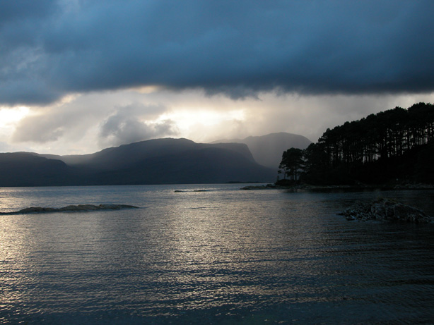
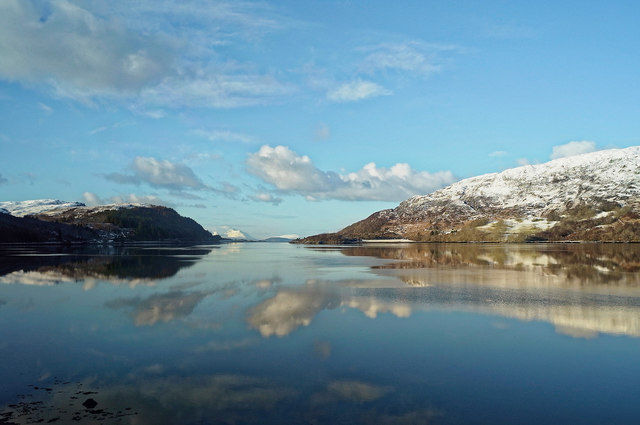
Loch Carron
Loch Carron (Scottish Gaelic: "Loch Carrann") is a sea loch on the west coast of Ross and Cromarty in the Scottish Highlands, which separates the Lochalsh...

Stromeferry railway station
Stromeferry railway station is a station on the Kyle of Lochalsh Line, serving the village of Stromeferry in the Highlands, northern Scotland. Stromeferry...
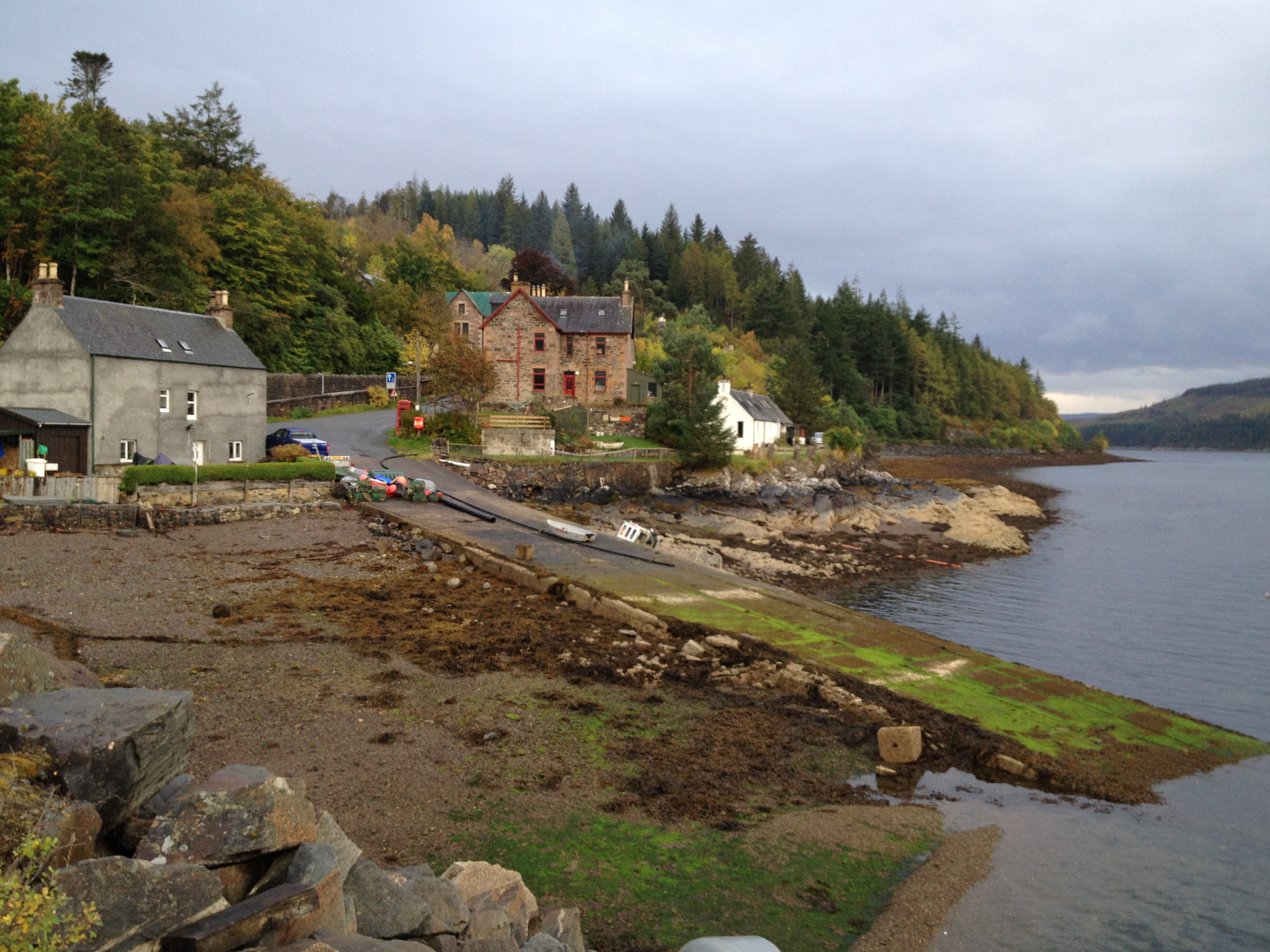
Stromeferry
Stromeferry (Scottish Gaelic: Port an t-Sròim) is a village, located on the south shore of the west coast sea loch, Loch Carron, in western Ross-shire...
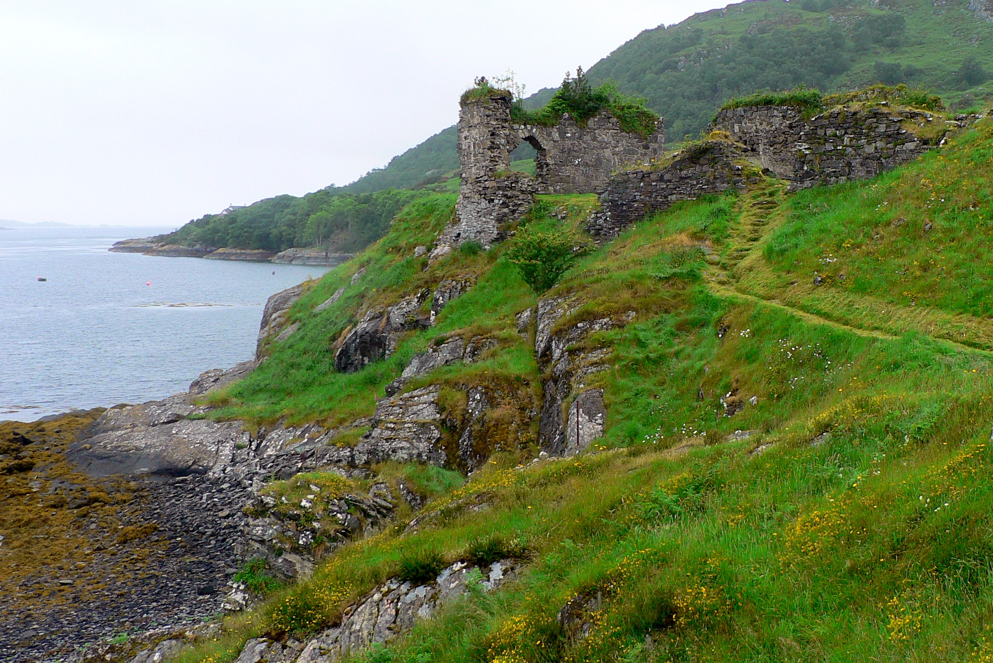
Strome Castle
Strome Castle is a ruined castle on the shore of Loch Carron in Stromemore, 3.5 miles south-west of the village of Lochcarron, on the headland between...

Bad a' Chreamha
Bad a' Chreamha is a small hill in Scotland, occupying the broad peninsula between Loch Carron and Loch Kishorn. It consists of a long low ridge; the northwestern...
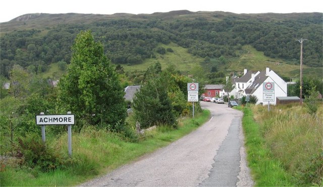
Achmore, Highland
Achmore (Scottish Gaelic: Acha Mòr, lit. 'big field') is a hamlet located close to the south shore of Loch Carron, approximately seven miles (eleven kilometres...

Lochcarron
Lochcarron (Scottish Gaelic: Loch Carrann) is a village, community and civil parish in the Wester Ross area of Highland, Scotland. It has a population...

An Sgùrr (Lochcarron)
An Sgùrr is a hill in Scotland, occupying the broad peninsula between Loch Carron and Loch Kishorn. It has the appearance of a rough knoll, with small...
Nearby Amenities
Located within 500m of 57.362185,-5.511475Have you been to Ardnarff?
Leave your review of Ardnarff below (or comments, questions and feedback).