Croome Perry Wood
Wood, Forest in Worcestershire Wychavon
England
Croome Perry Wood
Croome Perry Wood is a picturesque woodland located in Worcestershire, England. It lies on the eastern slopes of the Malvern Hills, just south of the village of Great Witley. Covering an area of approximately 200 acres, the wood is a mix of ancient woodland and newer plantations, offering visitors a diverse and enchanting natural environment.
The woodland is characterized by a variety of tree species, including oak, beech, ash, and birch, which create a rich and vibrant canopy. Beneath the towering trees, a diverse understory of wildflowers, ferns, and mosses can be found, adding to the area's natural beauty. The wood is also home to a number of resident bird species, such as woodpeckers, tits, and finches, making it a popular spot for birdwatching enthusiasts.
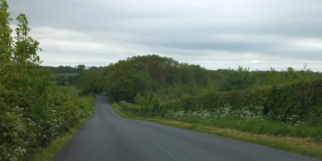
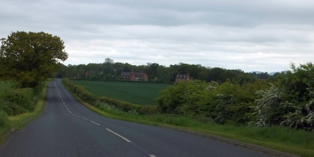
Croome Perry Wood is crisscrossed by a network of well-maintained footpaths, allowing visitors to explore its many hidden treasures. The paths wind through the woodland, leading to open glades, babbling brooks, and secluded picnic spots. The wood also offers stunning views of the surrounding countryside, with glimpses of the Malvern Hills visible from certain vantage points.
Managed by the Worcestershire Wildlife Trust, Croome Perry Wood is not only a haven for wildlife but also an important site for conservation. The trust works tirelessly to protect and enhance the woodland, ensuring that future generations can continue to enjoy its natural wonders.
Overall, Croome Perry Wood is a magical and tranquil destination, offering visitors the chance to immerse themselves in the beauty of nature and escape the hustle and bustle of everyday life.
If you have any feedback on the listing, please let us know in the comments section below.
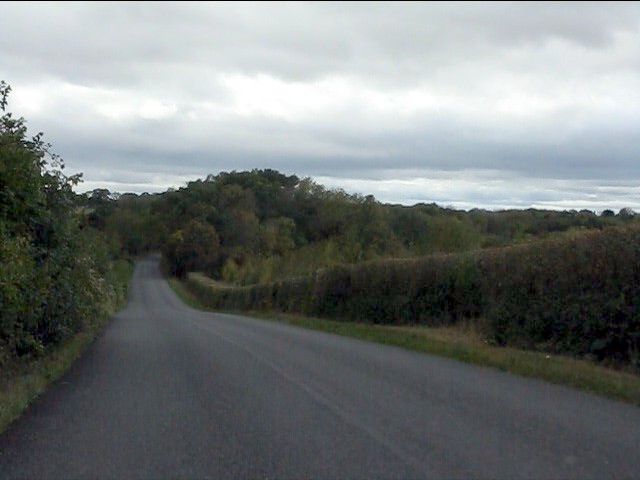
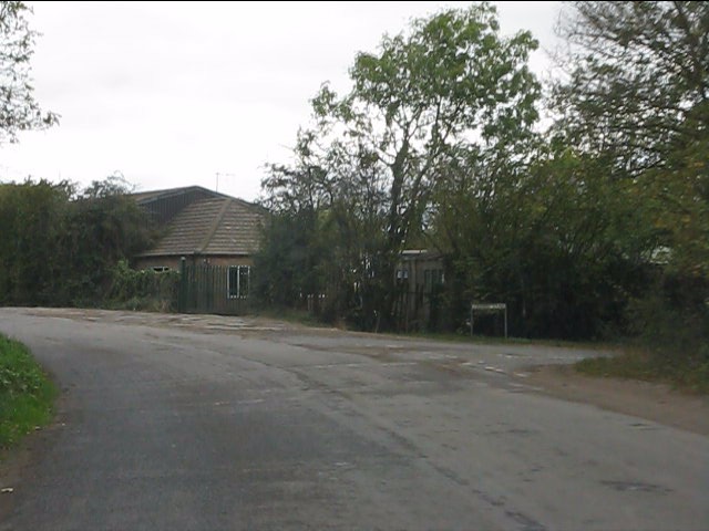
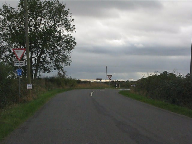
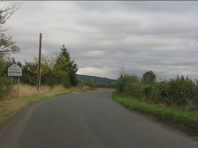
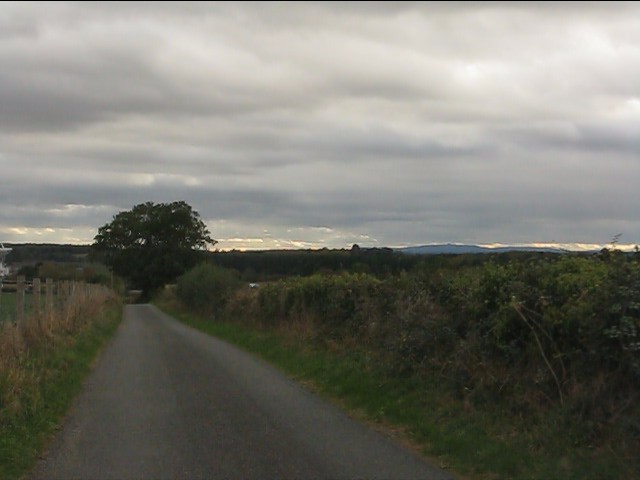
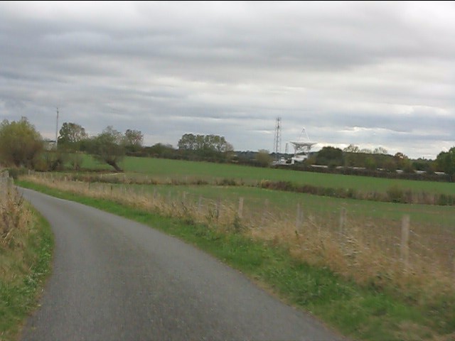
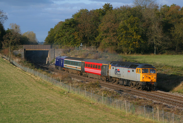
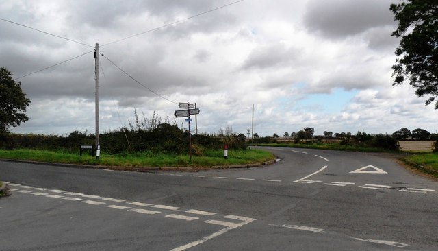
Croome Perry Wood Images
Images are sourced within 2km of 52.116529/-2.1480249 or Grid Reference SO8946. Thanks to Geograph Open Source API. All images are credited.


Croome Perry Wood is located at Grid Ref: SO8946 (Lat: 52.116529, Lng: -2.1480249)
Administrative County: Worcestershire
District: Wychavon
Police Authority: West Mercia
What 3 Words
///patio.licks.speedily. Near Pershore, Worcestershire
Nearby Locations
Related Wikis

Pirton railway station
Pirton railway station, also known as Kempsey railway station, served the village of Pirton, Worcestershire, England, from 1841 to 1844 on the Birmingham...
Kempsey railway station (Worcestershire)
Kempsey railway station, also known as Pirton railway station, served the village of Kempsey, Worcestershire, England, from 1841 to 1844 on the Birmingham...
Wadborough
Wadborough is a small village 2 miles outside Pershore and 7 miles from Worcester. The village is in Worcestershire, England. The village is an old farming...
Besford railway station
Besford railway station served the village of Besford, Worcestershire, England, from 1841 to 1846 on the Birmingham and Gloucester Railway. == History... ==

Wadborough railway station
Wadborough railway station was located in Wadborough, Worcestershire. It opened in 1841 and closed in January 1965. It was situated to the west on the...

St Mary Magdalene's Church, Croome D'Abitot
St Mary Magdalene's Church is a former Anglican church in the grounds of Croome Court, at Croome D'Abitot, Worcestershire, England. It is recorded in...

Besford
Besford is a village and civil parish in the Wychavon district of Worcestershire, England. According to the 2001 census it had a population of 147. The...
RAF Defford
Royal Air Force Defford, or more simply RAF Defford, is a former Royal Air Force station located 1.1 miles (1.8 km) northwest of Defford, Worcestershire...
Nearby Amenities
Located within 500m of 52.116529,-2.1480249Have you been to Croome Perry Wood?
Leave your review of Croome Perry Wood below (or comments, questions and feedback).