Bird Gill Plantation
Wood, Forest in Yorkshire Richmondshire
England
Bird Gill Plantation

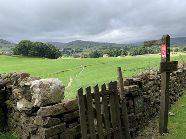
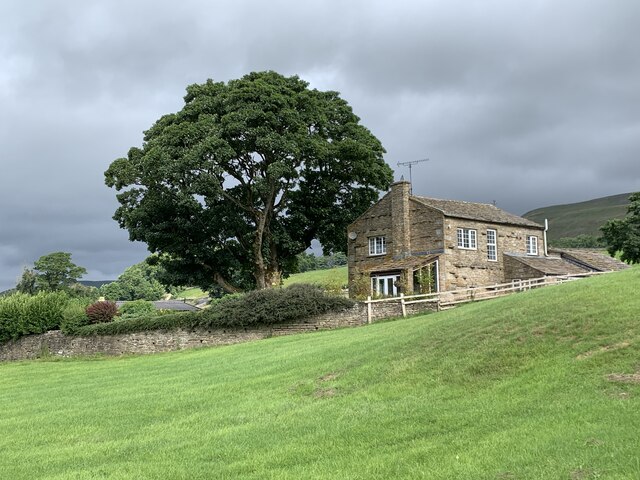
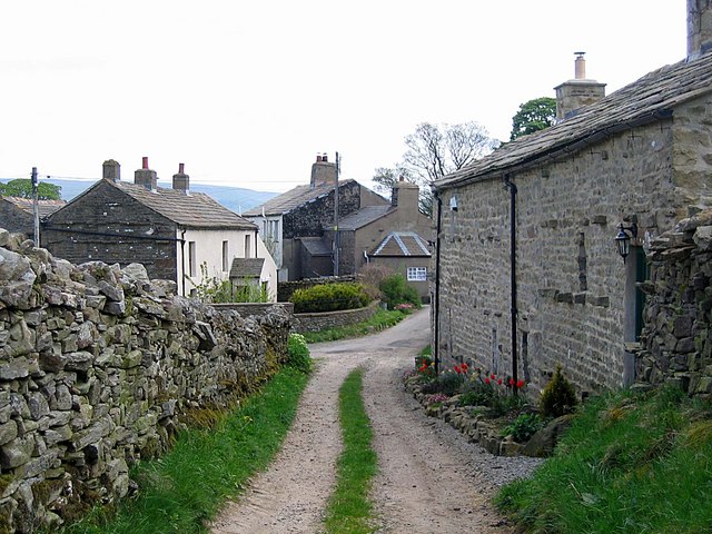
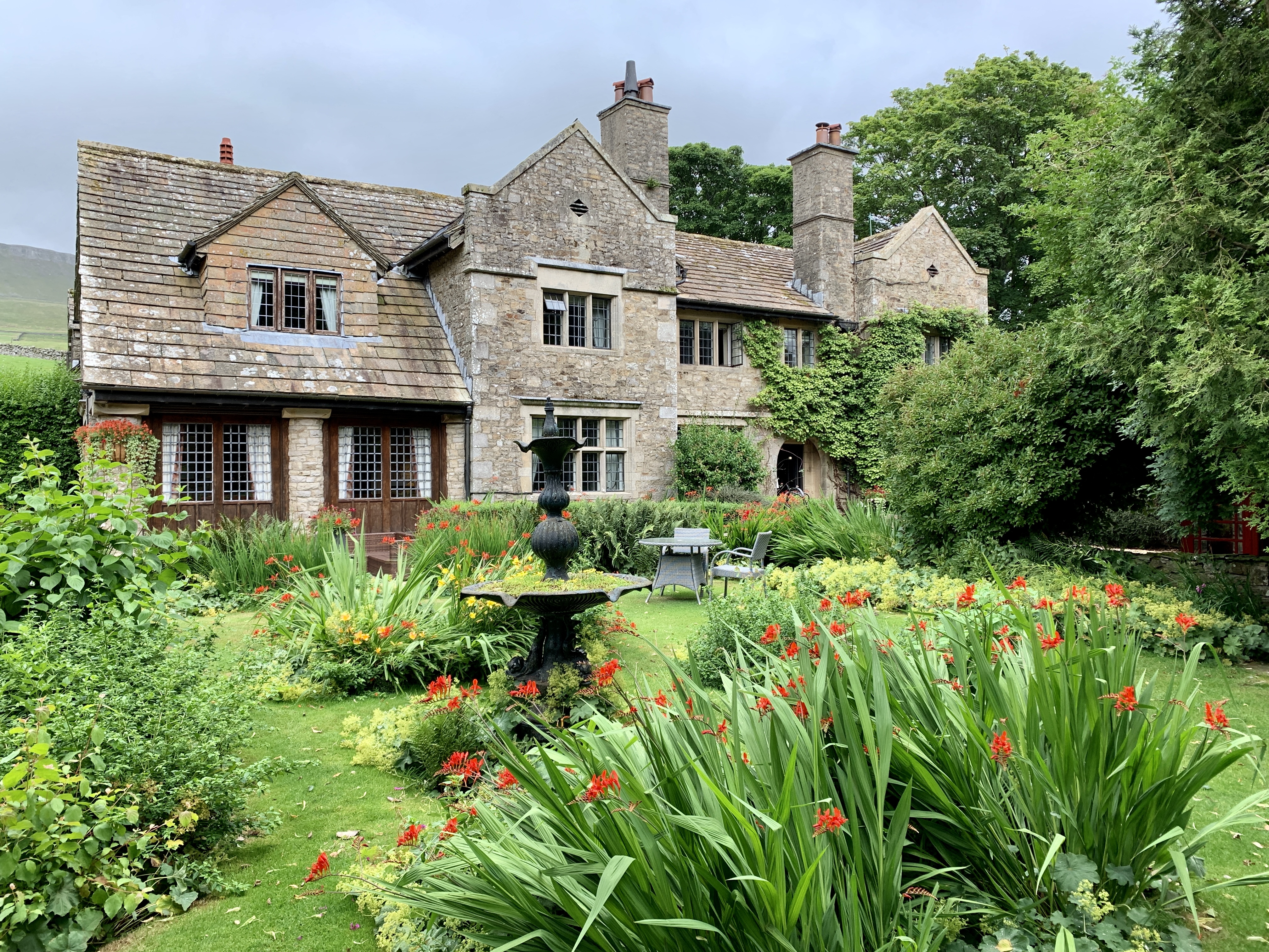
Bird Gill Plantation is a sprawling wooded area located in Yorkshire, England. Covering a vast expanse of land, this enchanting forest is renowned for its natural beauty and diverse range of flora and fauna.
The plantation is primarily composed of mature trees, including oak, beech, and birch, which create a dense canopy overhead. These towering giants provide shade and shelter for the numerous wildlife species that call Bird Gill Plantation their home. The forest floor is adorned with an array of wildflowers, ferns, and mosses, adding to the area's picturesque charm.
The plantation is intersected by a meandering stream, which adds to its allure and provides a water source for the resident wildlife. This babbling brook is also a popular spot for visitors to relax and enjoy the soothing sounds of nature.
Bird Gill Plantation offers a haven for a diverse range of animal species. Visitors may spot deer grazing in the clearing, rabbits darting between the undergrowth, or squirrels scampering up the trees. The forest is also a sanctuary for a variety of bird species, including woodpeckers, owls, and thrushes, which fill the air with their melodious songs.
The plantation is a favorite destination for nature enthusiasts, hikers, and photographers. Its well-maintained trails allow visitors to explore the forest at their own pace, immersing themselves in its tranquil ambiance. Bird Gill Plantation truly offers a captivating escape from the hustle and bustle of everyday life, allowing visitors to reconnect with nature and experience the beauty of Yorkshire's woodland.
If you have any feedback on the listing, please let us know in the comments section below.
Bird Gill Plantation Images
Images are sourced within 2km of 54.31189/-2.1577575 or Grid Reference SD8990. Thanks to Geograph Open Source API. All images are credited.


Bird Gill Plantation is located at Grid Ref: SD8990 (Lat: 54.31189, Lng: -2.1577575)
Division: North Riding
Administrative County: North Yorkshire
District: Richmondshire
Police Authority: North Yorkshire
What 3 Words
///cutlets.whizzing.beanbag. Near Leyburn, North Yorkshire
Nearby Locations
Related Wikis

Wensleydale
Wensleydale is the dale or upper valley of the River Ure on the east side of the Pennines, one of the Yorkshire Dales in North Yorkshire, England. It is...

Sedbusk
Sedbusk is a hamlet near Hawes and Hardraw Force within the Yorkshire Dales in North Yorkshire, England. The hamlet is 1 mile (1.5 km) north of the town...
Burtersett
Burtersett is a small village in the Yorkshire Dales, North Yorkshire, England. It lies approximately 1 mile (1.6 km) east from Hawes and Gayle. The village...
Stone House, Hawes
Stone House is a Grade II listed building in the civil parish of High Abbotside, near Hawes, North Yorkshire, England. == History == Stone House was built...

Low Abbotside
Low Abbotside is a civil parish in the Richmondshire district of North Yorkshire, England. It is a rural parish on the north side of Wensleydale. There...
Dales Countryside Museum
The Dales Countryside Museum is a local museum for the Yorkshire Dales National Park in Northern England. Run by the National Park Authority, it tells...
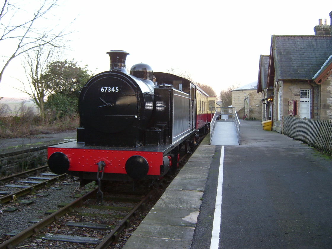
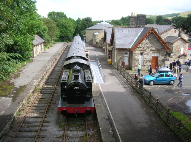
Hawes railway station
Hawes railway station is a disused railway station that served the town of Hawes in North Yorkshire, England. It was closed in 1959 and now forms part...

Hawes
Hawes is a market town and civil parish in North Yorkshire, England, at the head of Wensleydale in the Yorkshire Dales, and historically in the North Riding...
Nearby Amenities
Located within 500m of 54.31189,-2.1577575Have you been to Bird Gill Plantation?
Leave your review of Bird Gill Plantation below (or comments, questions and feedback).