Rowleyhill Plantation
Wood, Forest in Staffordshire South Staffordshire
England
Rowleyhill Plantation
Rowleyhill Plantation, located in Staffordshire, is a picturesque woodland area known for its natural beauty and diverse flora and fauna. Situated near the village of Rowley, the plantation covers a significant area of land, offering a peaceful and serene escape from the bustling city life.
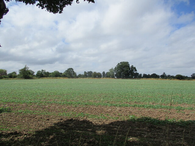
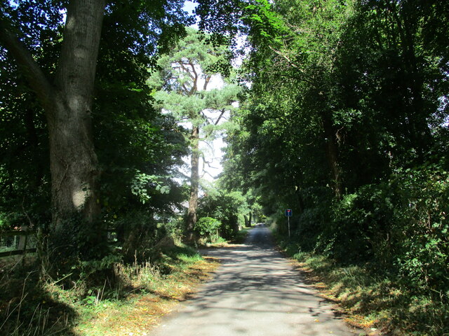
The woodland is characterized by its dense forest cover, consisting mainly of various species of trees, including oak, beech, and birch. The tall, majestic trees provide a lush green canopy over the forest floor, creating a cool and refreshing atmosphere. Walking through Rowleyhill Plantation, visitors can enjoy the soothing sounds of birds chirping and leaves rustling in the wind.
The plantation is also home to a wide range of wildlife. Squirrels, rabbits, and foxes are commonly spotted amidst the trees, while bird enthusiasts can delight in observing a variety of species, such as woodpeckers, finches, and owls.
For nature enthusiasts, Rowleyhill Plantation offers several walking trails and paths that allow visitors to explore the woodland at their own pace. These well-maintained trails provide an opportunity to immerse oneself in the natural surroundings while enjoying the peace and tranquility that the plantation has to offer.
In addition to its natural beauty, Rowleyhill Plantation also has historical significance. It was once a part of a larger estate and has witnessed the passing of time, with some trees estimated to be several hundred years old.
Overall, Rowleyhill Plantation in Staffordshire is a haven for nature lovers, offering a serene escape with its lush forest cover, diverse wildlife, and scenic walking trails.
If you have any feedback on the listing, please let us know in the comments section below.
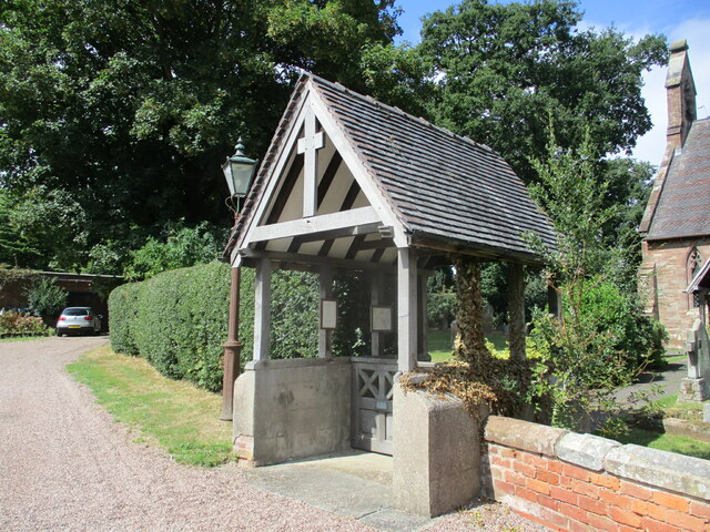
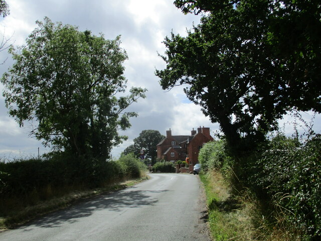
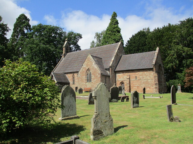
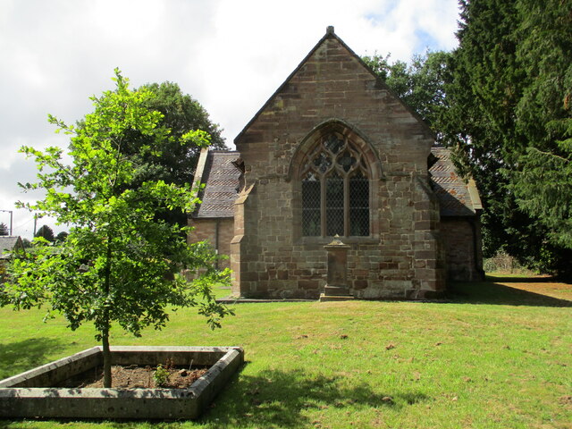
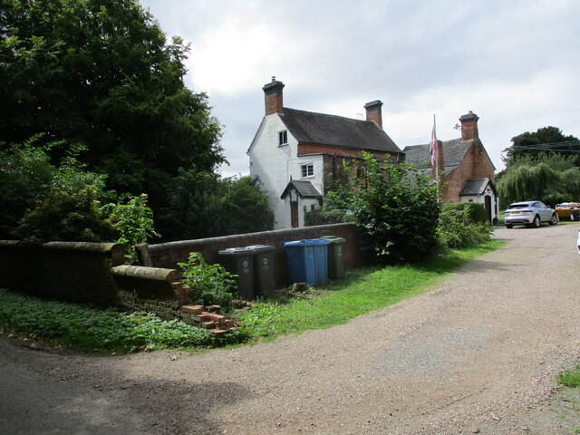
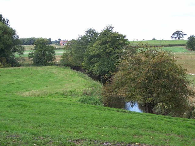
Rowleyhill Plantation Images
Images are sourced within 2km of 52.701723/-2.1521462 or Grid Reference SJ8911. Thanks to Geograph Open Source API. All images are credited.


Rowleyhill Plantation is located at Grid Ref: SJ8911 (Lat: 52.701723, Lng: -2.1521462)
Administrative County: Staffordshire
District: South Staffordshire
Police Authority: Staffordshire
What 3 Words
///candles.sunk.crumple. Near Brewood, Staffordshire
Nearby Locations
Related Wikis

Pennocrucium
Pennocrucium was a Romano-British settlement and military complex located at present day Water Eaton, just south of Penkridge, Staffordshire, with evidence...

Stretton Hall, Staffordshire
Stretton Hall is an early 18th-century mansion house at Stretton, South Staffordshire. It is the home of a branch of the Monckton family descended from...
Stretton, South Staffordshire
Stretton is a village and former civil parish, now in the parish of Lapley, Stretton and Wheaton Aston, in the South Staffordshire district, in the county...
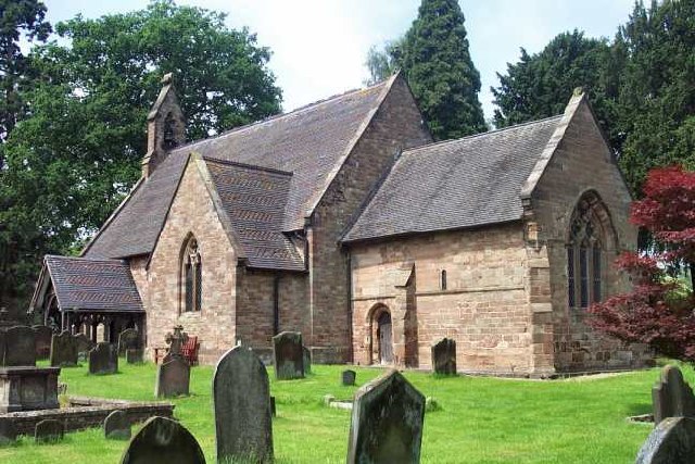
St John's Church, Stretton
St John's Church, Stretton is the Church of England parish church of Stretton, South Staffordshire. == History == The chancel is 12th century. The nave...
Cannock Rural District
Cannock was a rural district in Staffordshire, England from 1894 to 1974. It was created by the Local Government Act 1894, based on the Cannock rural sanitary...
Gailey, Staffordshire
Gailey is a small village in Staffordshire, England. It is at the junction of the A5 and A449 roads, and is on the boundary of the parishes of Brewood...
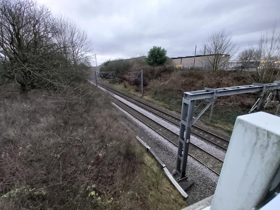
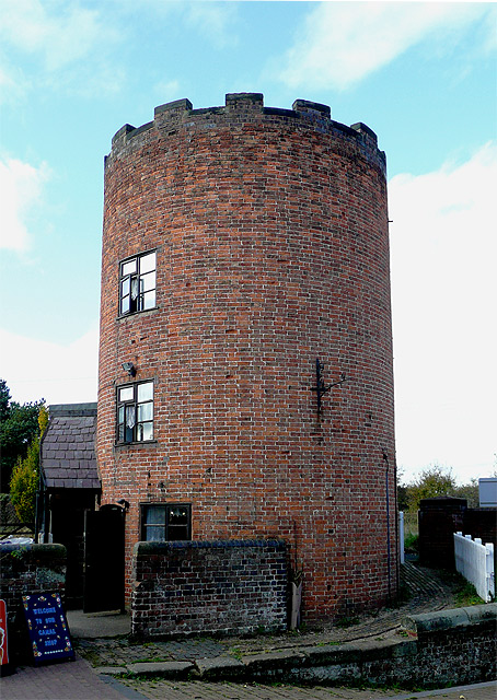
Gailey railway station
Gailey railway station was a railway station built by the Grand Junction Railway in 1837.: 29 It served the small village of Gailey, Staffordshire, 7...
Penkridge weather station
Penkridge weather station is a weather station at Penkridge in Staffordshire, England, operated by the Met Office. It is situated on the site of Rodbaston...
Nearby Amenities
Located within 500m of 52.701723,-2.1521462Have you been to Rowleyhill Plantation?
Leave your review of Rowleyhill Plantation below (or comments, questions and feedback).